Chase Wood

Wood, Forest in Sussex Wealden

England

Chase Wood

Telecommunications mast by the Hastings Line
Telecommunications mast by the Hastings Line Credit: N Chadwick

Chase Wood, Sussex, also known as Wood Forest, is a picturesque woodland located in the county of Sussex, England. Encompassing an area of approximately 500 acres, this ancient woodland is renowned for its diverse flora and fauna, making it a popular destination for nature enthusiasts and hikers alike.

The wood is mainly composed of native tree species such as oak, beech, and birch, creating a dense canopy that provides shelter for a wide range of wildlife. The forest floor is carpeted with a rich variety of wildflowers, including bluebells, primroses, and wood anemones, which bloom in vibrant colors during the spring months.

Chase Wood is home to an array of wildlife, with species such as deer, foxes, badgers, and rabbits frequently spotted by visitors. Birdwatchers can enjoy the sight of various avian species, including woodpeckers, owls, and thrushes. Additionally, the wood provides a habitat for numerous insects, butterflies, and small mammals, contributing to its ecological importance.

The forest offers several well-marked trails, allowing visitors to explore its beauty and tranquility. These paths wind through the woodland, offering breathtaking views of the surrounding countryside. Chase Wood also features designated picnic areas, providing visitors with an opportunity to relax and appreciate the natural surroundings.

Managed by the local forestry commission, Chase Wood is carefully conserved to preserve its natural beauty and biodiversity. It serves as an important educational resource, offering guided walks and workshops for schools and nature enthusiasts, promoting a deeper understanding and appreciation for the woodland ecosystem.

In conclusion, Chase Wood, Sussex (Wood, Forest) is a captivating and ecologically significant ancient woodland, offering visitors a chance to immerse themselves in nature and discover the wonders of the Sussex countryside.

If you have any feedback on the listing, please let us know in the comments section below.
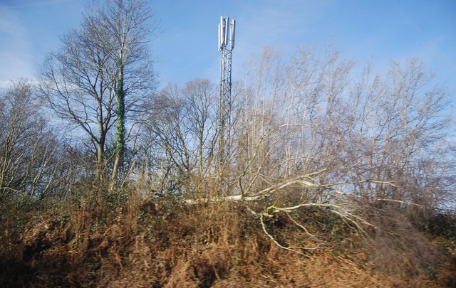
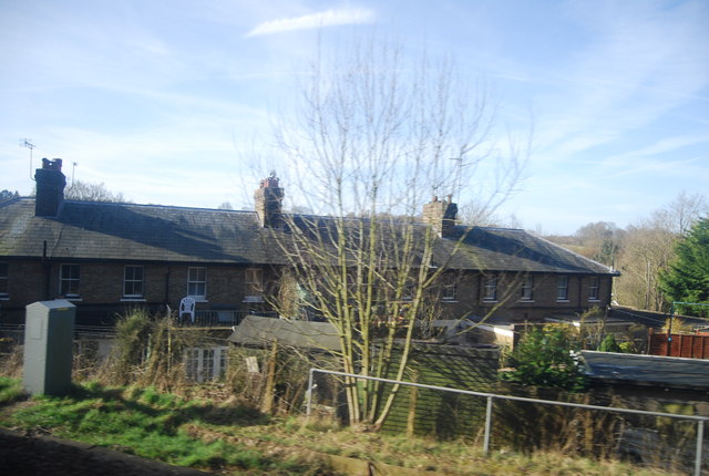
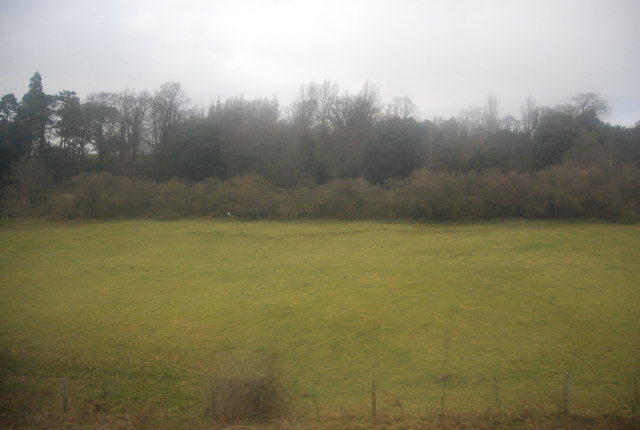
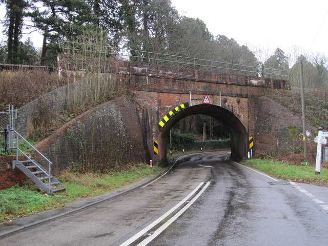
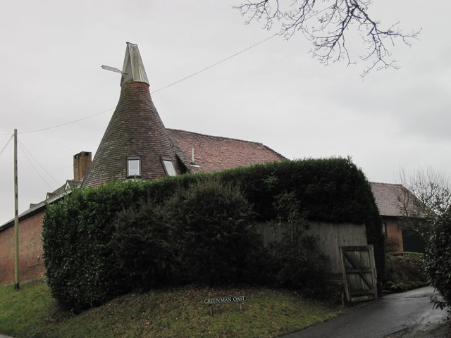
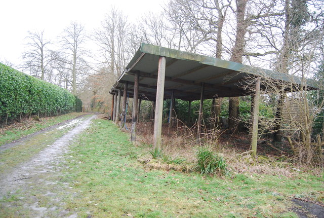
Chase Wood Images

Images are sourced within 2km of 51.069381/0.28639109 or Grid Reference TQ6032. Thanks to Geograph Open Source API. All images are credited.

Telecommunications mast by the Hastings Line
Row of Houses, Wadhurst Rd
Woodland by the Hastings Line near Wadhurst Station
Station House, Wadhurst Station Wadhurst station was opened by the South Eastern Railway (SER) in 1851. It is on the Hastings line. The station is about one mile from the village at the foot of a steep hill. It is an important commuter station for the surrounding rural area.
Station House, Wadhurst Station
Wadhurst station was opened by the South Eastern Railway (SER) in 1851. It is on the Hastings line. The station is about one mile from the village at the foot of a steep hill. It is an important commuter station for the surrounding rural area.
Field between Wadhurst Rd and the railway line
Best Beech Inn
Best Beech Inn
Wadhurst Station
Wadhurst Station
Railway bridge over the B2099
Greenman Oast Single round kiln oast house.
Greenman Oast
Single round kiln oast house.
Wadhurst Station Wadhurst station was opened by the South Eastern Railway (SER) in 1851. It is on the Hastings line. The station is about one mile from the village at the foot of a steep hill. It is an important commuter station for the surrounding rural area.
Wadhurst Station
Wadhurst station was opened by the South Eastern Railway (SER) in 1851. It is on the Hastings line. The station is about one mile from the village at the foot of a steep hill. It is an important commuter station for the surrounding rural area.
Station house, Wadhurst Station Grade II listed. <span class="nowrap"><a title="http://www.britishlistedbuildings.co.uk/en-487377-wadhurst-station-and-footbridge-wadhurst" rel="nofollow ugc noopener" href="http://www.britishlistedbuildings.co.uk/en-487377-wadhurst-station-and-footbridge-wadhurst">Link</a><img style="margin-left:2px;" alt="External link" title="External link - shift click to open in new window" src="https://s1.geograph.org.uk/img/external.png" width="10" height="10"/></span>
Station house, Wadhurst Station
Grade II listed. LinkExternal link
Farm building by the Sussex Border Path The Sussex Border Path is a footpath route nearly 150 miles long around the inland boundary of the county of Sussex. The county owes its origins to the kingdom of the South Saxons and can claim to have one of the longest inland county boundaries from Emsworth to Rye. The route was devised in 1983 and is well signed along most of the route. Website <span class="nowrap"><a title="http://www.sussexborderpath.co.uk/" rel="nofollow ugc noopener" href="http://www.sussexborderpath.co.uk/">Link</a><img style="margin-left:2px;" alt="External link" title="External link - shift click to open in new window" src="https://s1.geograph.org.uk/img/external.png" width="10" height="10"/></span> 
Map: <a title="https://www.geograph.org.uk/search.php?i=40140109&page=1&displayclass=map#i=40140109&page=1&displayclass=map&zoom=2&lat=51.03263&lon=-0.05427&layers=FTTB00000000000T" href="https://www.geograph.org.uk/search.php?i=40140109&page=1&displayclass=map#i=40140109&page=1&displayclass=map&zoom=2&lat=51.03263&lon=-0.05427&layers=FTTB00000000000T">Link</a>
Farm building by the Sussex Border Path
The Sussex Border Path is a footpath route nearly 150 miles long around the inland boundary of the county of Sussex. The county owes its origins to the kingdom of the South Saxons and can claim to have one of the longest inland county boundaries from Emsworth to Rye. The route was devised in 1983 and is well signed along most of the route. Website LinkExternal link Map: Link
Footpath off Tapsell's Lane
Pond by the footpath
Fairclough Lane
Fairclough Lane
Fairclough Lane
Fairclough Lane
Path off Fairclough Lane
Bird Lane
Bird Lane
Show me another place!

Chase Wood is located at Grid Ref: TQ6032 (Lat: 51.069381, Lng: 0.28639109)

Administrative County: East Sussex

District: Wealden

Police Authority: Sussex

What 3 Words

///weeknight.goggles.waxer. Near Wadhurst, East Sussex

Related Wikis

Best Beech Hill

Best Beech Hill is a locality in the civil parish of Wadhurst in the Wealden district of East Sussex, England. Wadhurst lies approximately 1.6 miles...

Wadhurst railway station

Wadhurst railway station is on the Hastings line in the south of England and serves the town of Wadhurst, East Sussex. It is 39 miles 23 chains (63.2 km...

Walter's Mill, Mark Cross

Walter's Mill is a tower mill at Mark Cross, Sussex, England which has been converted to residential accommodation. == History == Walter's Mill was first...

Tidebrook

Tidebrook is a hamlet within the parish of Wadhurst in East Sussex, England. It is located between the villages of Mayfield and Wadhurst. The brook for...

Wadhurst

Wadhurst is a market town in East Sussex, England. It is the centre of the civil parish of Wadhurst, which also includes the hamlets of Cousley Wood and...

Jameah Islameah School

Jameah Islameah School was an independent Islamic school in East Sussex. The school was located on a 54 acre site and had residential facilities to house...

St Joseph's College, Mark Cross

St Joseph's College was a Roman Catholic minor seminary in Mark Cross, outside Rotherfield in East Sussex. It was designed by Edward Pugin and the site...

Frant

Frant is a village and civil parish in the Wealden District of East Sussex, England, on the Kentish border about three miles (5 km) south of Royal Tunbridge...

Nearby Amenities

Located within 500m of 51.069381,0.28639109
Barrier: kissing_gate
Lat/Long: 51.0699774/0.2860409
Barrier: kissing_gate
Lat/Long: 51.0687658/0.2919967
Barrier: kissing_gate
Lat/Long: 51.069719/0.2845159
Barrier: kissing_gate
Lat/Long: 51.069962/0.28791
The data included in this document is from www.openstreetmap.org. The data is made available under ODbL.

Have you been to Chase Wood?

Leave your review of Chase Wood below (or comments, questions and feedback).