Browndown Wood
Wood, Forest in Sussex Wealden
England
Browndown Wood

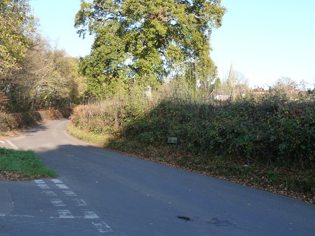
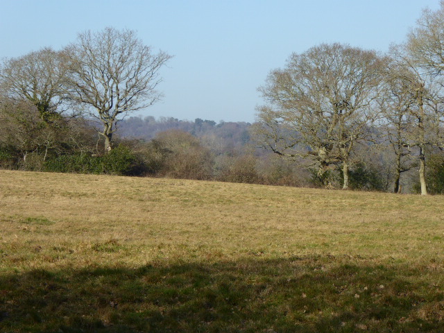
Browndown Wood, located in Sussex, England, is a charming and diverse woodland area that covers approximately 50 hectares. It is situated near the village of Elmer, just south of the town of Bognor Regis, and is a popular destination for both locals and visitors seeking a tranquil natural retreat.
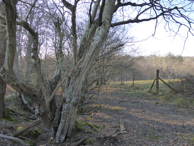
The woodland is predominantly made up of mixed deciduous trees, including oak, beech, and birch, offering a stunning display of colors throughout the seasons. The dense canopy provides shelter and habitat for a wide range of wildlife, including deer, badgers, foxes, and a variety of bird species.
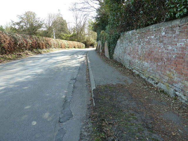
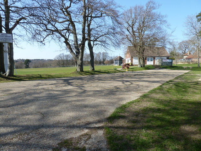
The wood is crisscrossed by a network of footpaths, making it easily accessible for hikers, walkers, and nature enthusiasts. These well-maintained trails lead visitors through a diverse array of landscapes, including open glades, shady groves, and meandering streams. Along the way, visitors can enjoy the peaceful ambiance, listen to the soothing sounds of nature, and observe the rich biodiversity that thrives within the wood.
Browndown Wood is also home to an abundance of wildflowers, which carpet the forest floor during the spring and summer months. Bluebells, primroses, and wood anemones are just a few examples of the vibrant flora that can be discovered here.
In addition to its natural beauty, Browndown Wood holds historical significance as well. It is believed to have been part of a larger ancient woodland that once covered this area of Sussex, dating back centuries.
Overall, Browndown Wood is a captivating and enchanting destination, offering a delightful escape into the heart of nature, where visitors can immerse themselves in the beauty and tranquility of this diverse woodland habitat.
If you have any feedback on the listing, please let us know in the comments section below.
Browndown Wood Images
Images are sourced within 2km of 50.956928/0.28066677 or Grid Reference TQ6019. Thanks to Geograph Open Source API. All images are credited.


Browndown Wood is located at Grid Ref: TQ6019 (Lat: 50.956928, Lng: 0.28066677)
Administrative County: East Sussex
District: Wealden
Police Authority: Sussex
What 3 Words
///jaundice.performs.cabbages. Near Heathfield, East Sussex
Nearby Locations
Related Wikis

All Saints Church, Heathfield
All Saints Church is a Church of England parish church in Heathfield, East Sussex, England. It was constructed in the 14th century and is a Grade II* listed...

St Dunstan's Farm Meadows
St Dunstan's Farm Meadows is a 10.2-hectare (25-acre) biological Site of Special Scientific Interest south-east of Heathfield in East Sussex. It is in...

Heathfield Community College
Heathfield Community College is a secondary school near the market town of Heathfield, East Sussex, England. == School Enrollment == The college draws...
Heathfield Park SSSI
Heathfield Park SSSI is a 41-hectare (100-acre) biological Site of Special Scientific Interest east of Heathfield in East Sussex. It is part of Heathfield...
Sapperton Meadows
Sapperton Meadows is a 14.7-hectare (36-acre) biological Site of Special Scientific Interest south of Heathfield in East Sussex.These poorly drained hay...

Warbleton
Warbleton is a village and civil parish in the Wealden district of East Sussex, England. Within its bounds are three other settlements. It is located south...

Heathfield, East Sussex
Heathfield is a market town and former civil parish, now in the parish of Heathfield and Waldron, in the Wealden District of East Sussex, England. The...
Heathfield and Waldron
Heathfield and Waldron is a civil parish within the Wealden District of East Sussex, England. Heathfield is surrounded by the High Weald Area of Outstanding...
Nearby Amenities
Located within 500m of 50.956928,0.28066677Have you been to Browndown Wood?
Leave your review of Browndown Wood below (or comments, questions and feedback).