Beeston's Orchard
Wood, Forest in Sussex Wealden
England
Beeston's Orchard
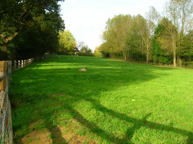
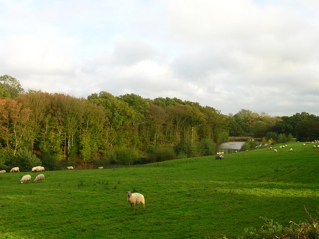
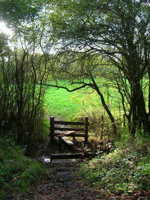
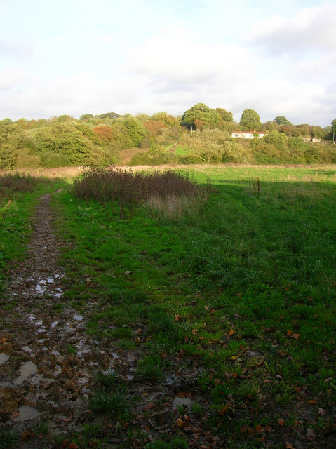
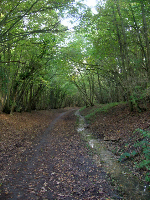
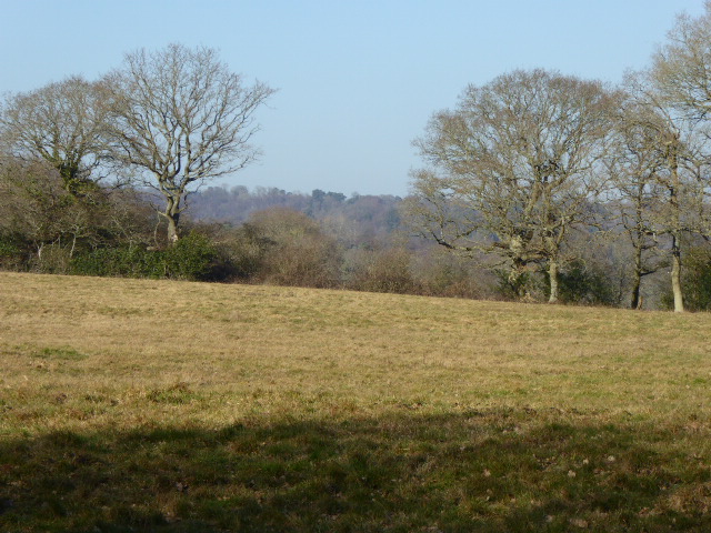
Beeston's Orchard, located in Sussex, is a picturesque woodland area known for its beautiful scenery and diverse range of trees. Covering an area of approximately 100 acres, the orchard is a popular destination for nature lovers, hikers, and photographers.
The woodland is primarily composed of native tree species such as oak, beech, and birch, creating a rich and vibrant ecosystem. These trees provide a habitat for a wide variety of wildlife, including birds, squirrels, and deer. The foliage transforms with the changing seasons, offering visitors a unique experience throughout the year.
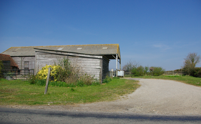
Beeston's Orchard is famous for its apple trees, which date back several centuries. It is believed that the orchard was originally planted by the Beeston family, who owned the land in the 17th century. Today, the orchard continues to produce a bountiful harvest of apples, attracting local farmers and cider makers.
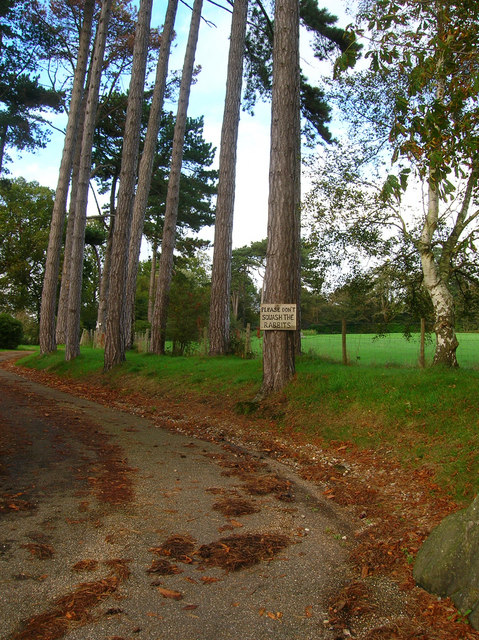
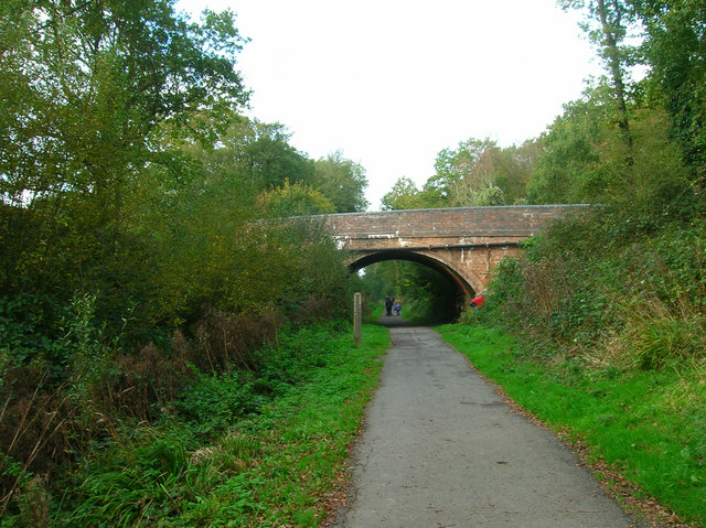
The woodland is crisscrossed with well-maintained walking trails, allowing visitors to explore and immerse themselves in the tranquil surroundings. These trails offer breathtaking views of the surrounding countryside, including rolling hills and meadows.
In addition to its natural beauty, Beeston's Orchard also hosts several events throughout the year, such as apple picking festivals and guided nature walks. These activities provide an opportunity for visitors to learn more about the orchard's history, as well as its significance in the local community.
Overall, Beeston's Orchard is a haven of tranquility and natural beauty, offering visitors a chance to escape the hustle and bustle of everyday life and reconnect with nature.
If you have any feedback on the listing, please let us know in the comments section below.
Beeston's Orchard Images
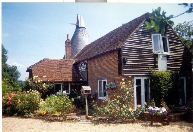
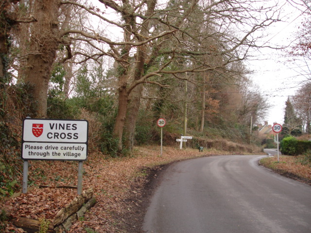
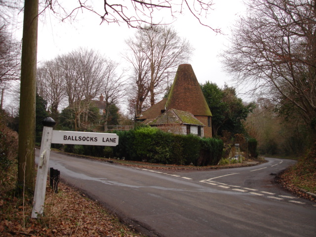
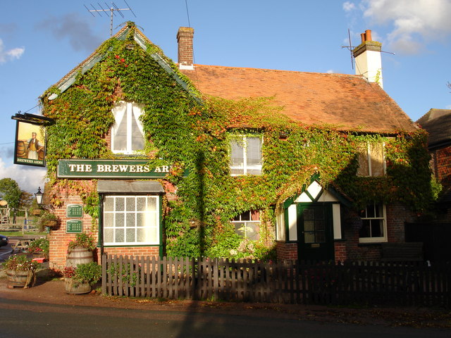
Images are sourced within 2km of 50.925503/0.2756571 or Grid Reference TQ6016. Thanks to Geograph Open Source API. All images are credited.


Beeston's Orchard is located at Grid Ref: TQ6016 (Lat: 50.925503, Lng: 0.2756571)
Administrative County: East Sussex
District: Wealden
Police Authority: Sussex
What 3 Words
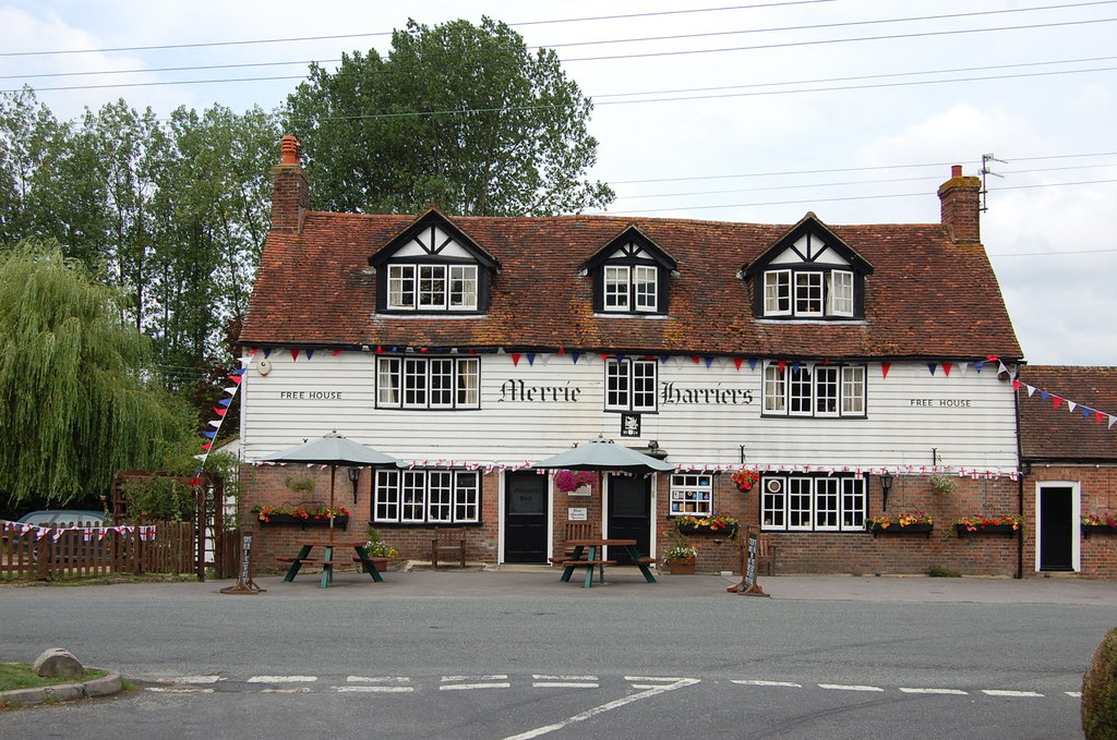
///image.flopping.buck. Near Horam, East Sussex
Nearby Locations
Related Wikis

Warbleton
Warbleton is a village and civil parish in the Wealden district of East Sussex, England. Within its bounds are three other settlements. It is located south...
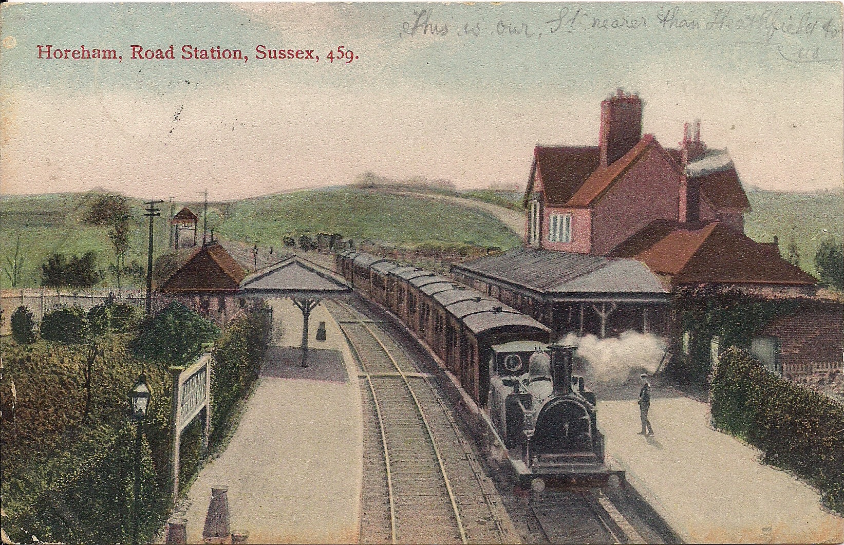
Horam railway station
Horam railway station was on the Cuckoo Line between Hellingly and Heathfield, serving the village of Horam. == History == The station was opened by the...

Horam
Horam is a village, electoral ward and civil parish in the Wealden District of East Sussex, situated three miles (4.8 km) south of Heathfield. Included...
Cowbeech
Cowbeech is a small village in the civil parish of Herstmonceux in the Wealden district of East Sussex, England. Its nearest town is Hailsham, which lies...

Maynard's Green
Maynard's Green is a village in the Wealden district of East Sussex. == External links == Maynards Green Community Primary School
Sapperton Meadows
Sapperton Meadows is a 14.7-hectare (36-acre) biological Site of Special Scientific Interest south of Heathfield in East Sussex.These poorly drained hay...

St Dunstan's Farm Meadows
St Dunstan's Farm Meadows is a 10.2-hectare (25-acre) biological Site of Special Scientific Interest south-east of Heathfield in East Sussex. It is in...

Rushlake Green
Rushlake Green is a small village in the civil parish of Warbleton in the Wealden district of East Sussex, England. Rushlake Green is situated on the slopes...
Nearby Amenities
Located within 500m of 50.925503,0.2756571Have you been to Beeston's Orchard?
Leave your review of Beeston's Orchard below (or comments, questions and feedback).