Ely Wood
Wood, Forest in Sussex Wealden
England
Ely Wood
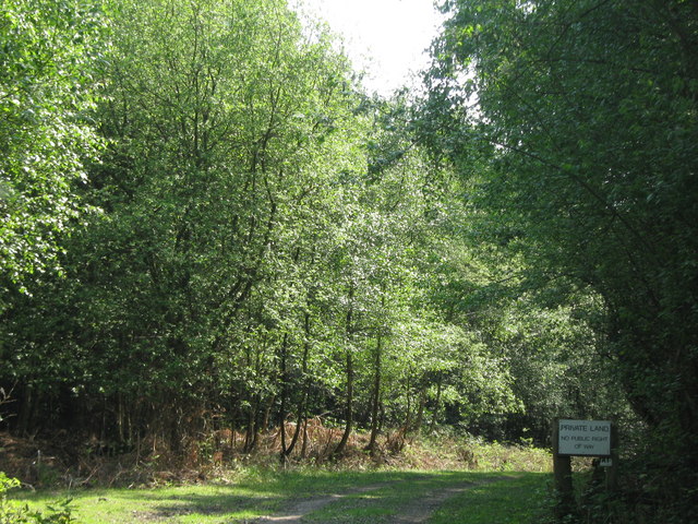
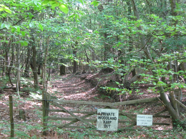
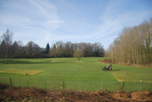
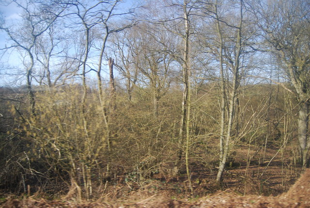
Ely Wood is a picturesque forest located in the county of Sussex, England. It is nestled in the heart of the South Downs National Park, offering visitors a tranquil and scenic experience. The wood covers an area of approximately 100 acres, consisting mainly of ancient oak and beech trees, which create a dense and enchanting canopy.
One of the notable features of Ely Wood is its diverse wildlife. The forest provides a habitat for a range of species, including deer, badgers, foxes, and numerous bird species. The abundance of flora and fauna makes it a popular destination for nature enthusiasts and wildlife photographers.
The woodland is crisscrossed by a network of well-maintained footpaths, allowing visitors to explore its beauty while enjoying leisurely walks or hikes. The paths wind through the forest, passing by bubbling streams, moss-covered logs, and vibrant wildflowers, adding to the wood's natural charm.
Ely Wood also holds historical significance, with evidence of human presence dating back to the Bronze Age. Archaeological excavations have revealed ancient burial mounds and artifacts, highlighting the area's rich heritage.
The forest is easily accessible, with a car park located nearby and regular bus services connecting it to the surrounding towns and villages. Facilities such as picnic areas and benches are available for visitors to relax and enjoy the serene atmosphere.
Ely Wood, Sussex, offers a captivating blend of natural beauty, wildlife, and historical significance, making it a perfect destination for those seeking a peaceful retreat or an opportunity to connect with nature.
If you have any feedback on the listing, please let us know in the comments section below.
Ely Wood Images
Images are sourced within 2km of 51.1023/0.28401546 or Grid Reference TQ6036. Thanks to Geograph Open Source API. All images are credited.


Ely Wood is located at Grid Ref: TQ6036 (Lat: 51.1023, Lng: 0.28401546)
Administrative County: East Sussex
District: Wealden
Police Authority: Sussex
What 3 Words
///smart.worry.nobody. Near Royal Tunbridge Wells, Kent
Nearby Locations
Related Wikis

Frant railway station
Frant railway station is on the Hastings line in East Sussex, England, and serves the civil parish of Frant (although the station is actually located some...

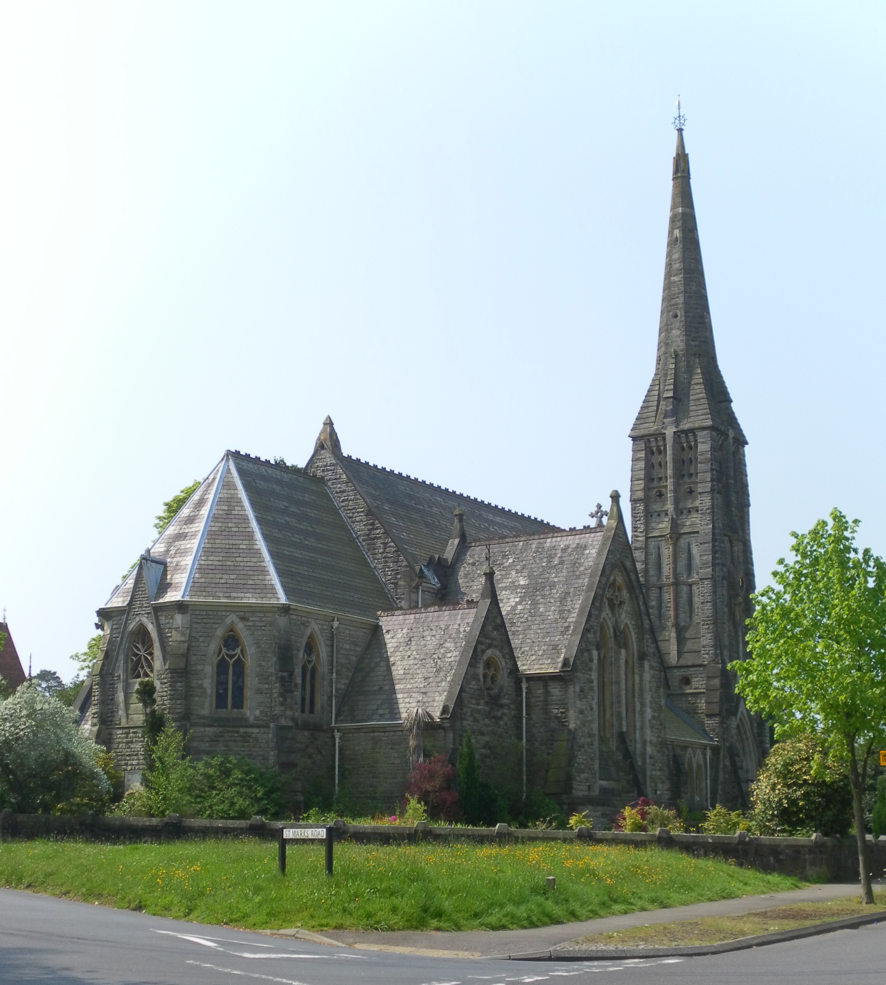
St Alban's Church, Frant
St Alban's Church is a Church of England parish church in Frant, East Sussex, England. It was built in 1819–22 in a fifteenth-century gothic revival style...

Frant
Frant is a village and civil parish in the Wealden District of East Sussex, England, on the Kentish border about three miles (5 km) south of Royal Tunbridge...

Kent and Sussex Crematorium and Cemetery
The Kent and Sussex Crematorium and Cemetery is a crematorium and cemetery located in Royal Tunbridge Wells in the county of Kent, England. == Background... ==

Hawkenbury, Tunbridge Wells
Hawkenbury is a small village area located in the south east of Royal Tunbridge Wells, Kent, England. == History == Hawkenbury was settled before Tunbridge...

Nevill Ground
The Nevill Ground is a cricket ground at Royal Tunbridge Wells in the English county of Kent. It is owned by Tunbridge Wells Borough Council and is used...
St Mark's Church, Royal Tunbridge Wells
St. Mark's Church is the Church of England parish church for the Broadwater Down area of Royal Tunbridge Wells, Kent, England, in the Diocese of Rochester...

Eridge Park
Eridge Park () is a village and historic park located north of the parish of Rotherfield, to the north-east of Crowborough in East Sussex, England. The...
Nearby Amenities
Located within 500m of 51.1023,0.28401546Have you been to Ely Wood?
Leave your review of Ely Wood below (or comments, questions and feedback).