Barnfield Shaw
Wood, Forest in Sussex Wealden
England
Barnfield Shaw
The requested URL returned error: 429 Too Many Requests
If you have any feedback on the listing, please let us know in the comments section below.
Barnfield Shaw Images
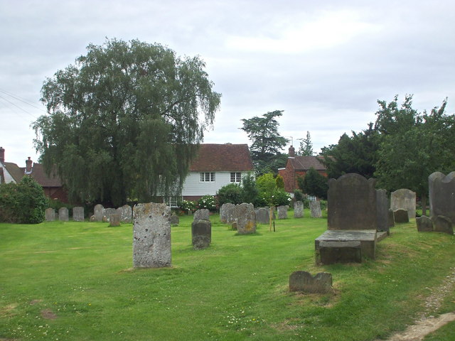
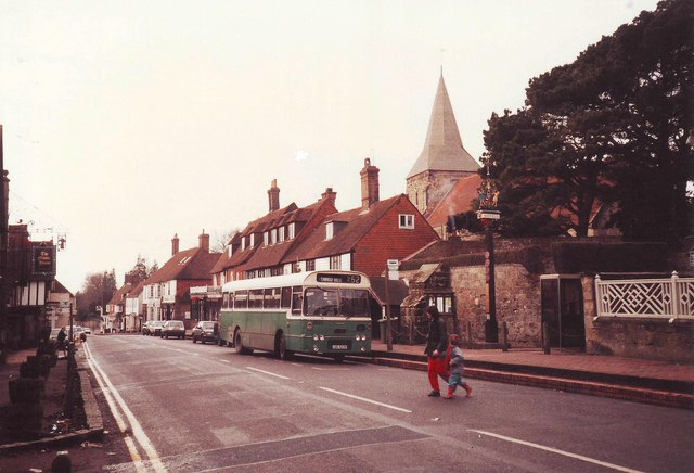
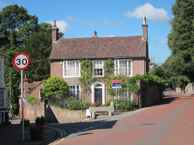
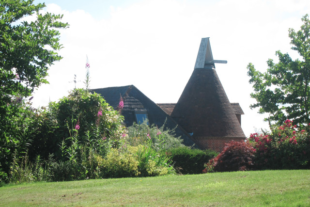
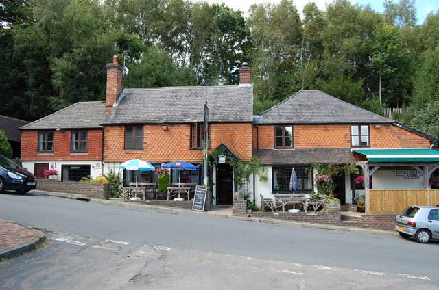
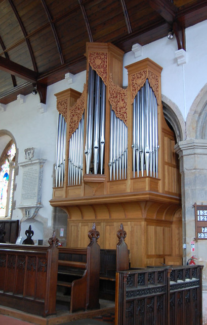
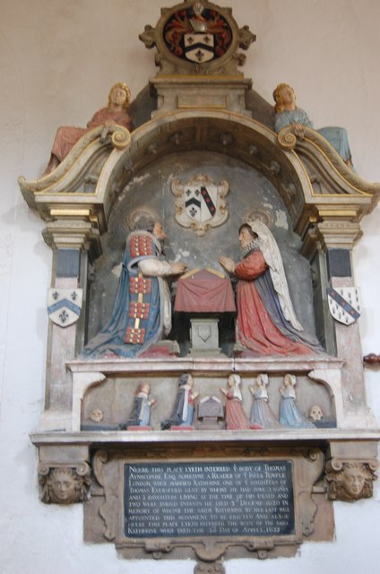
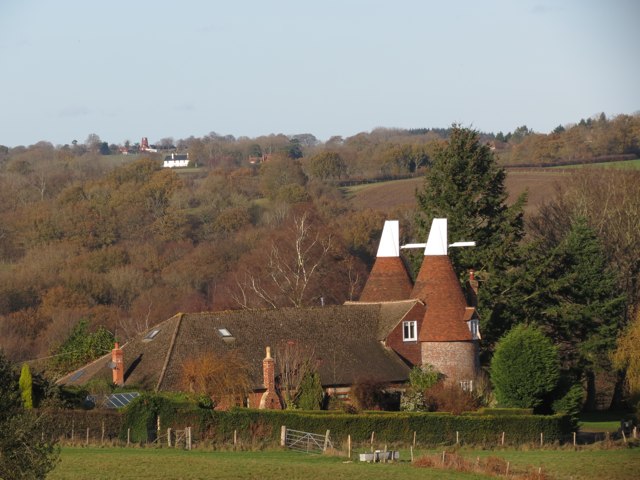
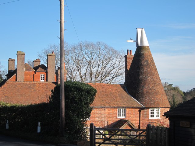
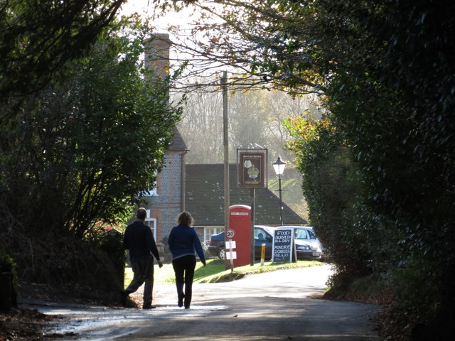
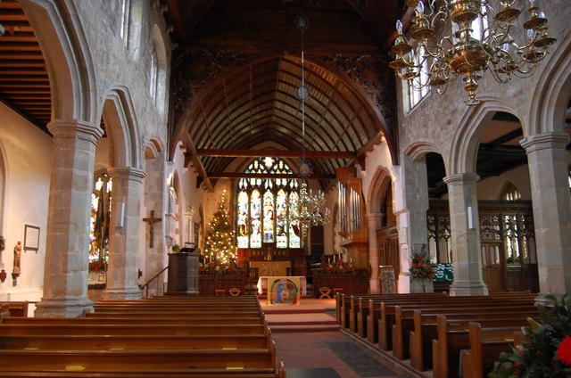
Images are sourced within 2km of 51.013252/0.27902386 or Grid Reference TQ5926. Thanks to Geograph Open Source API. All images are credited.

Barnfield Shaw is located at Grid Ref: TQ5926 (Lat: 51.013252, Lng: 0.27902386)
Administrative County: East Sussex
District: Wealden
Police Authority: Sussex
What 3 Words
///marmalade.phantom.disco. Near Town Row, East Sussex
Nearby Locations
Related Wikis

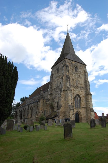
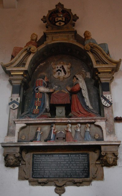
St Dunstan's Church, Mayfield
St Dunstan's, Mayfield in Mayfield, East Sussex, was founded in 960 CE by St Dunstan, who was then Archbishop of Canterbury. The church is a listed building...
Mayfield School, East Sussex
Mayfield School, previously St Leonards-Mayfield School, is an independent Catholic boarding and day school for girls aged 11 to 18. It is in the village...
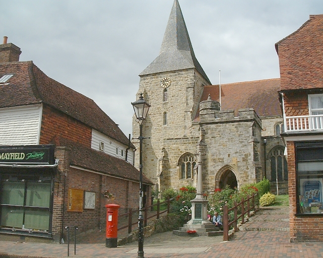
Mayfield and Five Ashes
Mayfield and Five Ashes is a civil parish in the High Weald of East Sussex, England. The two villages making up the principal part of the parish lie on...
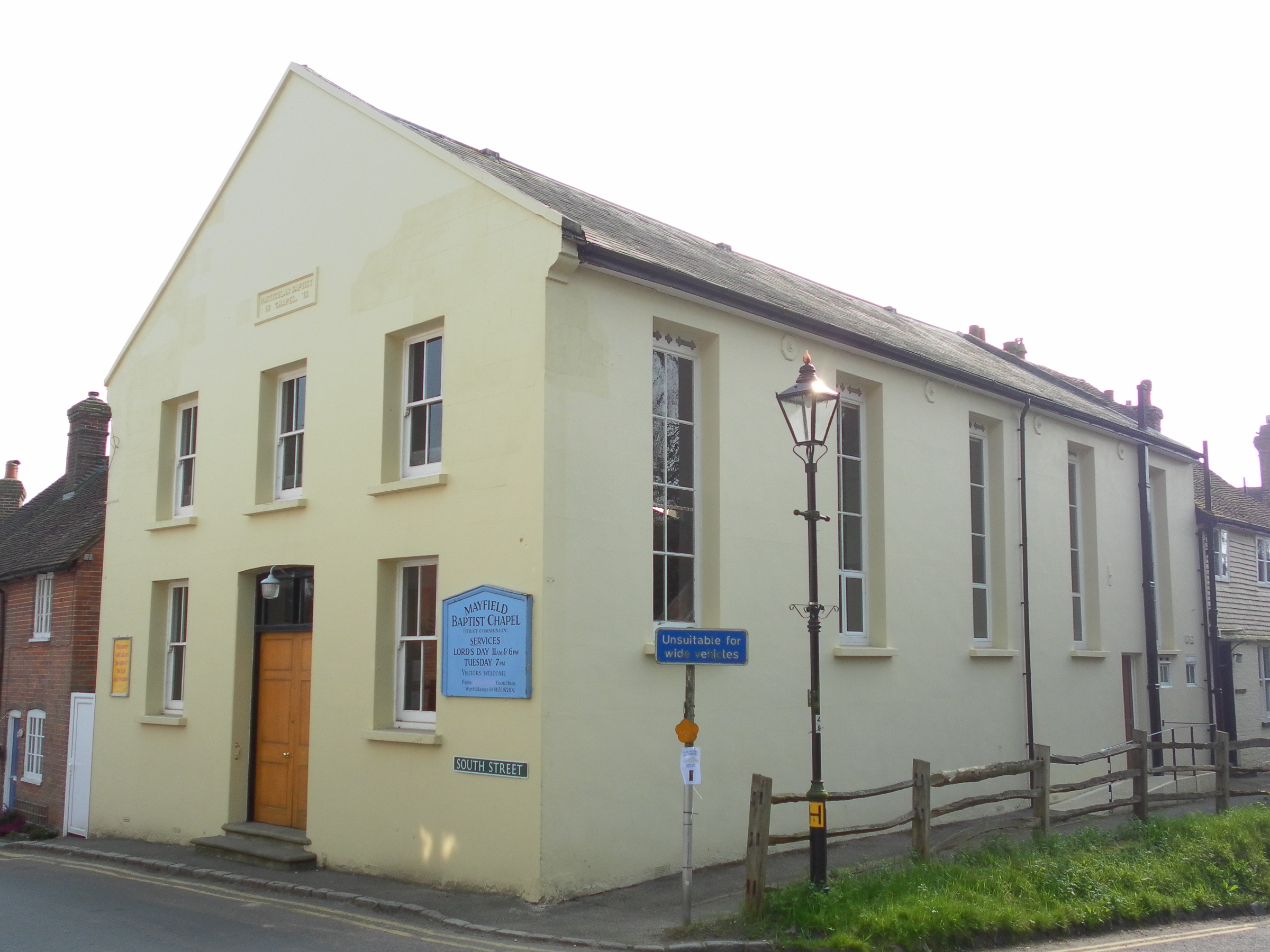
Mayfield Baptist Chapel
Mayfield Baptist Chapel, also known as Mayfield Strict Baptist Chapel, is a place of worship for Gospel Standard Strict Baptists in the village of Mayfield...
Nearby Amenities
Located within 500m of 51.013252,0.27902386Have you been to Barnfield Shaw?
Leave your review of Barnfield Shaw below (or comments, questions and feedback).