Gravelpit Plantation
Wood, Forest in Cambridgeshire South Cambridgeshire
England
Gravelpit Plantation
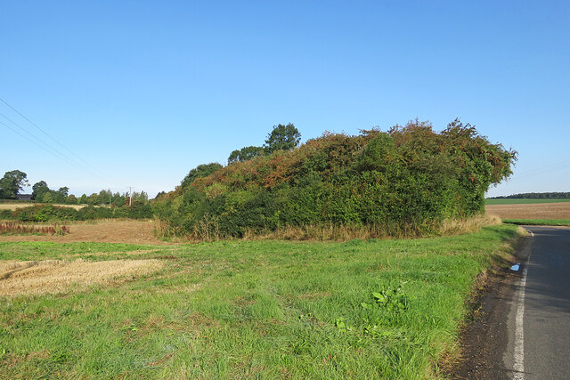
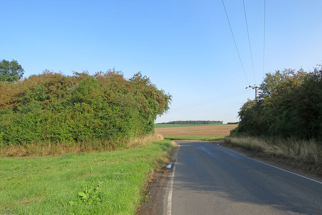
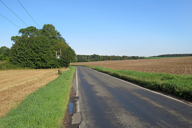
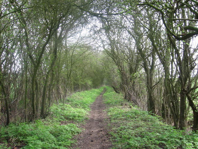
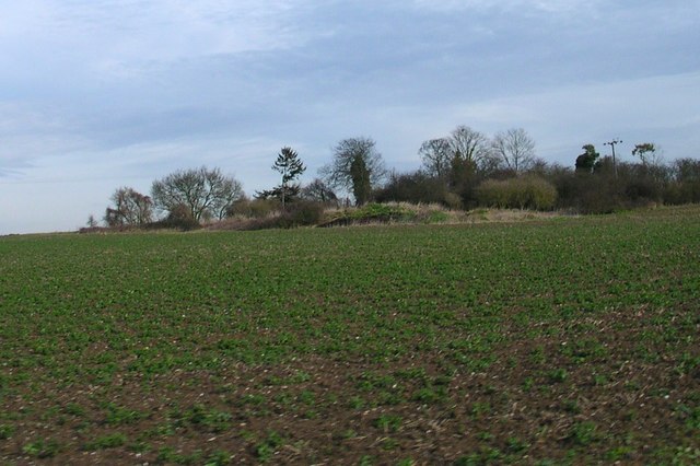
Gravelpit Plantation is a picturesque woodland area located in Cambridgeshire, England. Spanning over a vast expanse of land, this plantation is known for its dense and diverse forest, making it a haven for nature enthusiasts and hikers alike.
The plantation is characterized by its rich flora, consisting of a variety of tree species such as oak, ash, birch, and beech. These towering trees create a canopy that filters sunlight, creating a serene and shaded environment below. The forest floor is carpeted with a thick layer of moss, ferns, and wildflowers, adding vibrancy to the landscape.
Wildlife thrives within the confines of Gravelpit Plantation. It serves as a habitat for a diverse range of species, including squirrels, foxes, badgers, and a wide array of bird species. Birdwatchers will be delighted to spot woodpeckers, jays, and tawny owls, among many others.
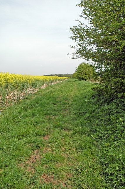
The plantation is crisscrossed with well-maintained walking trails, allowing visitors to explore the beauty of the woodland at their own pace. These trails wind through the forest, occasionally revealing small clearings and secluded ponds, adding to the enchanting atmosphere of the plantation.
Gravelpit Plantation is a popular destination for outdoor activities such as hiking, jogging, and picnicking. Its peaceful ambiance and natural beauty provide a perfect escape from the hustle and bustle of everyday life. Whether visitors seek solitude or adventure, this woodland sanctuary has something to offer for everyone.
If you have any feedback on the listing, please let us know in the comments section below.
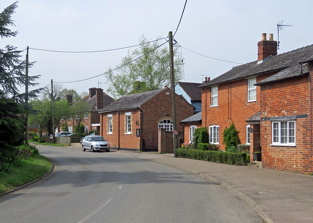
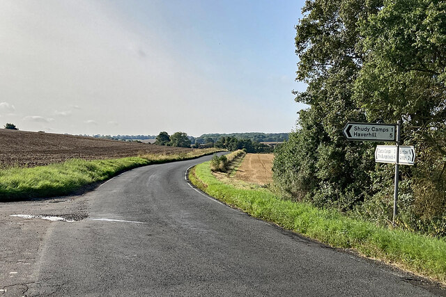
Gravelpit Plantation Images
Images are sourced within 2km of 52.0896/0.33126929 or Grid Reference TL5946. Thanks to Geograph Open Source API. All images are credited.


Gravelpit Plantation is located at Grid Ref: TL5946 (Lat: 52.0896, Lng: 0.33126929)
Administrative County: Cambridgeshire
District: South Cambridgeshire
Police Authority: Cambridgeshire
What 3 Words
///wider.alarmed.gracing. Near Linton, Cambridgeshire
Nearby Locations
Related Wikis
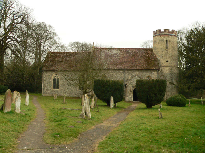
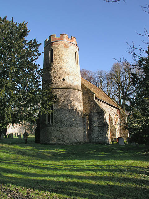
Bartlow
Bartlow is a small village and civil parish in the South Cambridgeshire district of Cambridgeshire, England, about 12 miles (19 km) south-east of Cambridge...
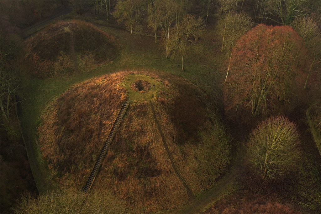
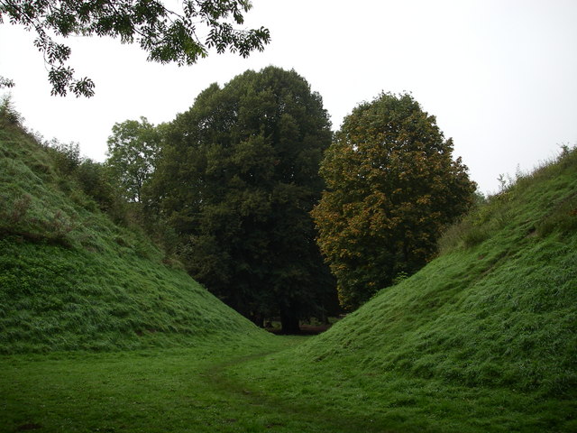
Bartlow Hills
Bartlow Hills is a Roman tumuli cemetery in Bartlow, Cambridgeshire, England. The site was in Essex until a boundary alteration in 1990. Four of the original...
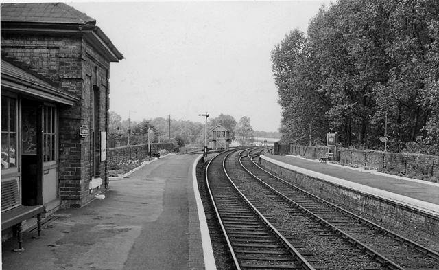
Bartlow railway station
Bartlow railway station was a station in Bartlow, Cambridgeshire on the Stour Valley Railway at the junction with the Saffron Walden Railway. There were...

Horseheath
Horseheath is a village in Cambridgeshire, England, situated a few miles south-east of Cambridge, between Linton and Haverhill, on the A1307 road. It was...

Barham Friary
Barham Friary was a Crutched Friars friary in Linton, Cambridgeshire, England. It was established around 1272 and was dissolved in 1538. == References ==

Bragg's Mill, Ashdon
Bragg's Mill, William Bragg's Mill, Bartlow Hamlet Mill or Stevington End Mill is a grade II listed post mill at Ashdon, Essex, England which has been...

Rivey Hill
Rivey Hill is a hill overlooking Linton in Cambridgeshire, England (grid reference TL567480). At 367 feet (112 m) it is the highest point for several miles...

Caxton and Arrington Rural District
Caxton and Arrington was a rural district in Cambridgeshire, England, from 1894 to 1934. It was formed in 1894 under the Local Government Act 1894, covering...
Have you been to Gravelpit Plantation?
Leave your review of Gravelpit Plantation below (or comments, questions and feedback).