High Rodingbury Wood

Wood, Forest in Essex Uttlesford

England

High Rodingbury Wood

Road junction near Attridge's Farm Behind me the lane goes to Rands and High Roding, ahead heads off towards The Easters and left goes to Bishop's Green and Barnston.
Road junction near Attridge's Farm Credit: Trevor Harris

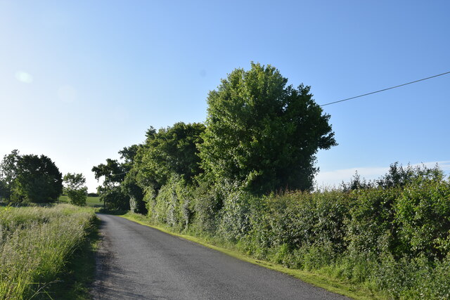
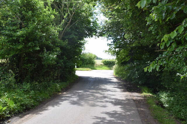
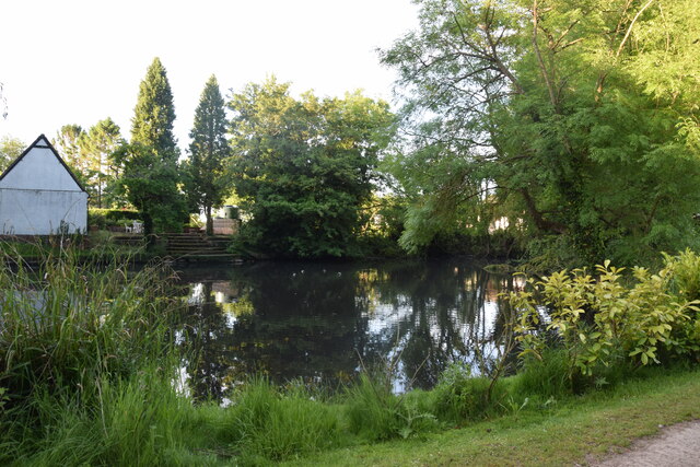
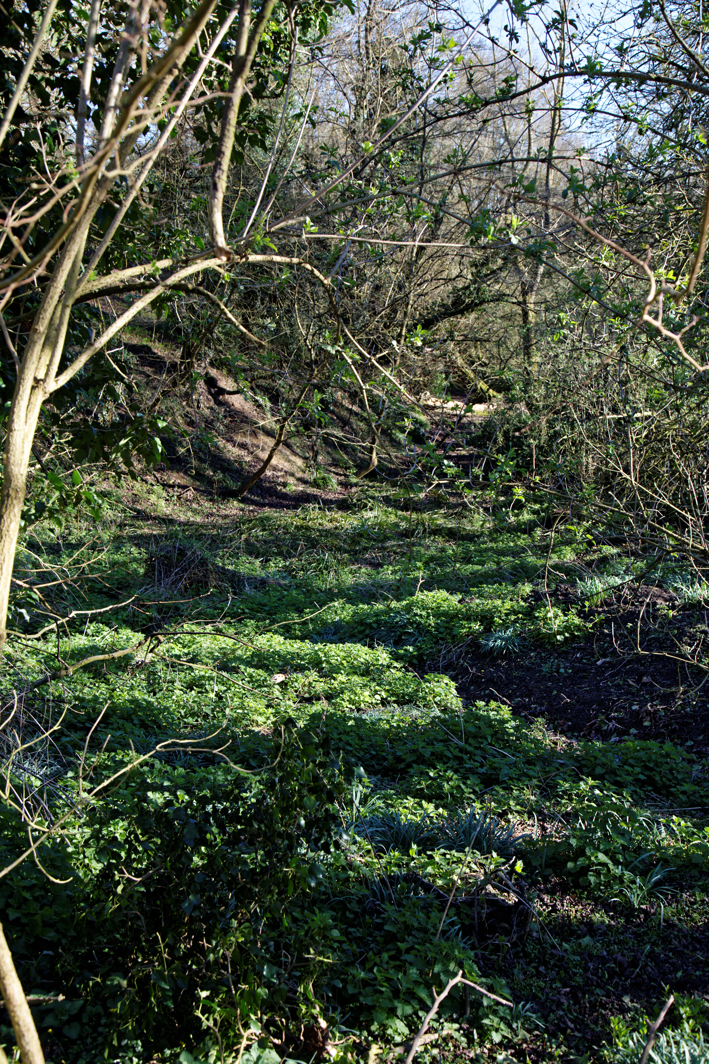
High Rodingbury Wood is a beautiful woodland area located in Essex, England. Covering an approximate area of 40 acres, this woodland is a tranquil haven for nature lovers and outdoor enthusiasts alike. It is situated near the village of High Rodingbury, hence the name.

The woodland is predominantly made up of native broadleaved trees such as oak, beech, and birch. These majestic trees create a dense canopy, providing shade and shelter for a wide variety of flora and fauna. The forest floor is adorned with a rich carpet of wildflowers and ferns, adding to the natural beauty of the area.

The wood is crisscrossed by a network of footpaths, making it accessible to visitors who wish to explore its wonders. Walking through High Rodingbury Wood, one can enjoy the peaceful ambiance and take in the sights and sounds of nature. The tranquil atmosphere makes it an ideal location for picnics or even quiet contemplation.

The wood is also home to a diverse range of wildlife. Birdwatchers can spot various species of birds including woodpeckers, nuthatches, and owls. Squirrels scurry through the treetops, while badgers and foxes roam the forest floor. This makes it a popular spot for wildlife enthusiasts and photographers.

High Rodingbury Wood is managed by the local council and is protected as a Site of Special Scientific Interest (SSSI) due to its ecological importance. The woodland plays a vital role in preserving biodiversity and maintaining the natural balance of the ecosystem.

In conclusion, High Rodingbury Wood is a stunning woodland area in Essex, offering a peaceful retreat from the bustling city life. With its diverse flora and fauna, it provides a unique opportunity to reconnect with nature and enjoy the beauty of the English countryside.

If you have any feedback on the listing, please let us know in the comments section below.

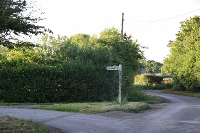
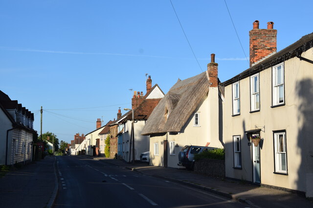
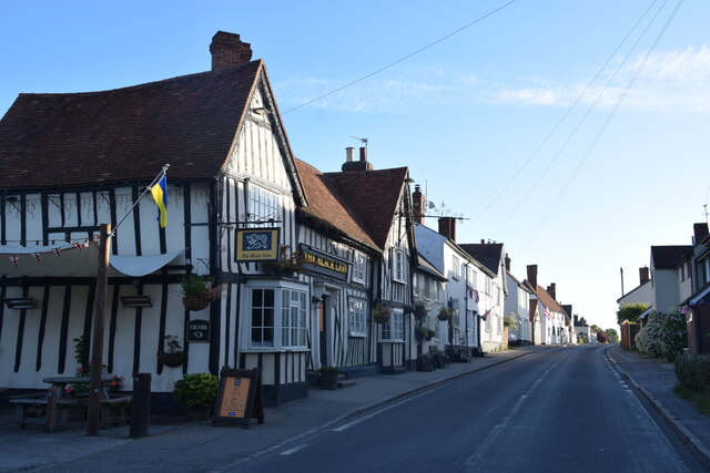
High Rodingbury Wood Images

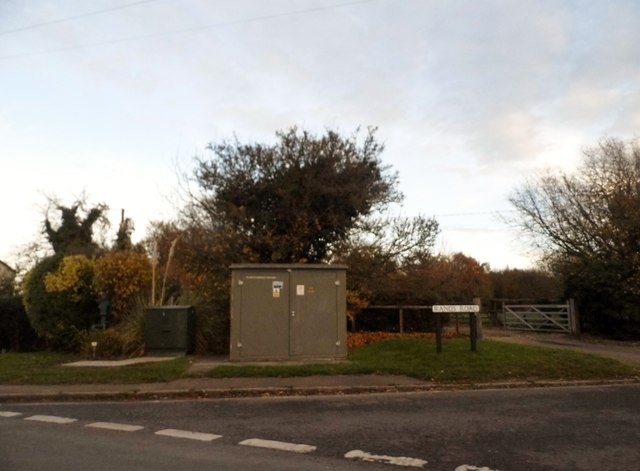
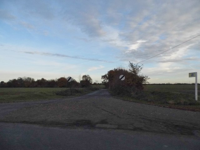
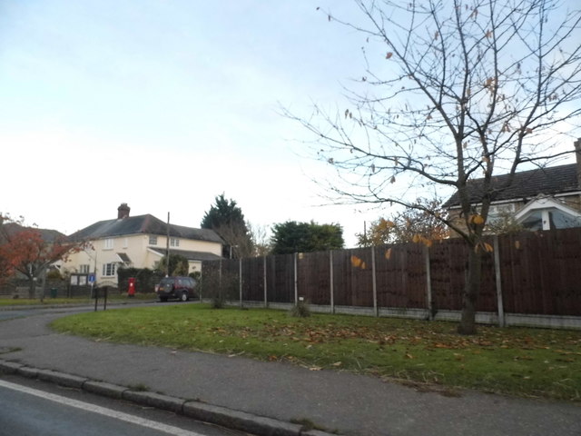
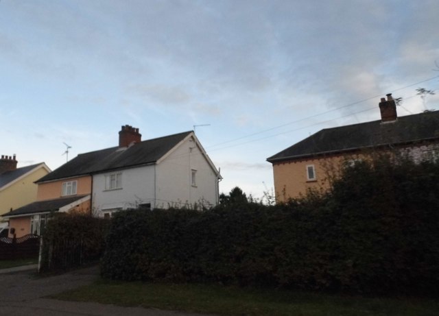
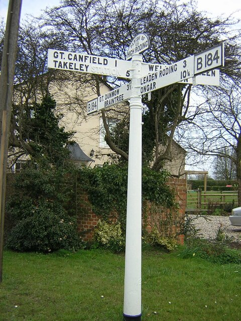
Images are sourced within 2km of 51.829677/0.31728307 or Grid Reference TL5917. Thanks to Geograph Open Source API. All images are credited.

Road junction near Attridge's Farm Behind me the lane goes to Rands and High Roding, ahead heads off towards The Easters and left goes to Bishop's Green and Barnston.
Road junction near Attridge's Farm
Behind me the lane goes to Rands and High Roding, ahead heads off towards The Easters and left goes to Bishop's Green and Barnston.
High Roding A view from he northern end of the village. The early morning sun highlights the little thatched cottage. High Roding is very much a linear settlement with very little development back from The Street - which follows the line of a Roman Road. Some modern development has resulted in some "back streets".
High Roding
A view from he northern end of the village. The early morning sun highlights the little thatched cottage. High Roding is very much a linear settlement with very little development back from The Street - which follows the line of a Roman Road. Some modern development has resulted in some "back streets".
The Black Lion and the view north east along The Street The Black Lion proclaims itself "a Traditional 14th Century Coaching Inn" (no doubt correctly).
The Black Lion and the view north east along The Street
The Black Lion proclaims itself "a Traditional 14th Century Coaching Inn" (no doubt correctly).
Lane to High Trees Farm ....and to the sewage works.
Lane to High Trees Farm
....and to the sewage works.
Road junction at Bacon End Close to Bacon End Farm.
Road junction at Bacon End
Close to Bacon End Farm.
The Black Lion, High Roding The core of the structure is C15 but with many later additions. See <span class="nowrap"><a title="http://www.britishlistedbuildings.co.uk/en-352755-the-black-lion-public-house-high-roothin#.VhrMn_lViko" rel="nofollow ugc noopener" href="http://www.britishlistedbuildings.co.uk/en-352755-the-black-lion-public-house-high-roothin#.VhrMn_lViko">Link</a><img style="margin-left:2px;" alt="External link" title="External link - shift click to open in new window" src="https://s1.geograph.org.uk/img/external.png" width="10" height="10"/></span> for entry in British Listed Buildings.
The Black Lion, High Roding
The core of the structure is C15 but with many later additions. See LinkExternal link for entry in British Listed Buildings.
Village sign, High Roding
The Old Lamb, High Roding It seems to have been converted to residential use. See <span class="nowrap"><a title="http://www.britishlistedbuildings.co.uk/en-352794-the-old-lamb-public-house-high-roothing-#.VhrOavlViko" rel="nofollow ugc noopener" href="http://www.britishlistedbuildings.co.uk/en-352794-the-old-lamb-public-house-high-roothing-#.VhrOavlViko">Link</a><img style="margin-left:2px;" alt="External link" title="External link - shift click to open in new window" src="https://s1.geograph.org.uk/img/external.png" width="10" height="10"/></span> for entry in British Listed Buildings
The Old Lamb, High Roding
It seems to have been converted to residential use. See LinkExternal link for entry in British Listed Buildings
Bacon End Cottages Originally built around 1300 but with much alteration since. See <span class="nowrap"><a title="http://www.britishlistedbuildings.co.uk/en-352660-bacon-end-cottages-great-canfield-essex#.Vls4YnbhDIU" rel="nofollow ugc noopener" href="http://www.britishlistedbuildings.co.uk/en-352660-bacon-end-cottages-great-canfield-essex#.Vls4YnbhDIU">Link</a><img style="margin-left:2px;" alt="External link" title="External link - shift click to open in new window" src="https://s1.geograph.org.uk/img/external.png" width="10" height="10"/></span> for entry in British Listed Buildings.
Bacon End Cottages
Originally built around 1300 but with much alteration since. See LinkExternal link for entry in British Listed Buildings.
Rands Road, High Roding
Road junction in High Roding It's a short lane that leads to a farm
Road junction in High Roding
It's a short lane that leads to a farm
Dunmow Road, High Roding
Houses on Dunmow Road, High Roding
Field by Dunmow Road, Bacon End
Direction Sign – Signpost on the B184 in High Roding village Located on the east side of the crossroads of the B184 Dunmow Road, Canfield Road and Rands Road, High Roding. In High Roothing parish. 4 arms and half-moon finial. 

Milestone Society National ID: EX_TL6017
Direction Sign – Signpost on the B184 in High Roding village
Located on the east side of the crossroads of the B184 Dunmow Road, Canfield Road and Rands Road, High Roding. In High Roothing parish. 4 arms and half-moon finial. Milestone Society National ID: EX_TL6017
Rodingbourne, Church End, Great Canfield The River Roding flows behind the house for which it is named.
Rodingbourne, Church End, Great Canfield
The River Roding flows behind the house for which it is named.
Pond near The Hall, Great Canfield Taken from the footpath which leads to High Roding and Highrodingbury Farm.
Pond near The Hall, Great Canfield
Taken from the footpath which leads to High Roding and Highrodingbury Farm.
Show me another place!

High Rodingbury Wood is located at Grid Ref: TL5917 (Lat: 51.829677, Lng: 0.31728307)

Administrative County: Essex

District: Uttlesford

Police Authority: Essex

What 3 Words

///muscular.retailing.shredder. Near Takeley, Essex

Nearby Locations

High Rodingbury Wood

Related Wikis

High Roding

High Roding is a village and civil parish in the Uttlesford district of Essex, England. The village is included in the eight hamlets and villages called...

Great Canfield Castle

Great Canfield Castle lies in the small village of Great Canfield, 3 miles (5 km) south-west of Great Dunmow in Essex, England: grid reference TL595179...

Baconend Green

Baconend Green is a hamlet in the Uttlesford district of Essex, England. It is within the parish of Great Canfield.

Bacon End

Bacon End is a hamlet in the civil parish of Great Canfield, and near Great Canfield Castle, in Essex, England. == References == == External links == mid...
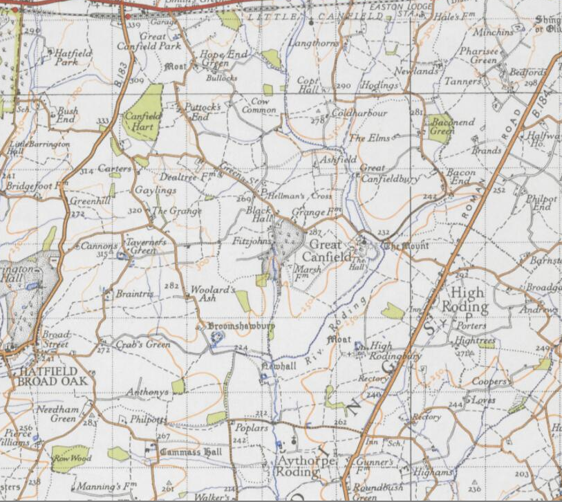
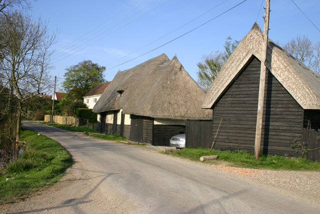
Great Canfield

Great Canfield is a village and a civil parish in the Uttlesford district of Essex, England. The village, which sits at the south-east edge of its civil...

Aythorpe Roding Windmill

Aythorpe Roding Windmill is a Grade II* listed Post mill at Aythorpe Roding, Essex, England which has been restored to working order. == History == Aythorpe...

Aythorpe Roding

Aythorpe Roding is a village and civil parish in the Uttlesford district of Essex, England. The village is included in the eight hamlets and villages called...

Little Canfield

Little Canfield is a village and a civil parish in the Uttlesford district of Essex, England. The village is situated the B1256 road, near the A120 road...

Nearby Amenities

Located within 500m of 51.829677,0.31728307
Bus Stop
The Black Lion
Bus: yes
Naptan AtcoCode: 150002002002
Naptan Bearing: NE
Naptan CommonName: The Black Horse
Naptan Indicator: o/s
Naptan Landmark: The Black Horse
Naptan NaptanCode: esxatwma
Naptan Street: Dunmow Road
Naptan Verified: no
Public Transport: platform
Source: naptan_import
Lat/Long: 51.8293677/0.3236573
The Black Lion
Naptan AtcoCode: 1500020020Y2
Naptan Bearing: SW
Naptan BusStopType: CUS
Naptan CommonName: The Black Horse
Naptan Indicator: Opp
Naptan Landmark: The Black Horse
Naptan NaptanCode: esxgtagd
Naptan Street: Dunmow Road
Naptan Verified: no
Public Transport: platform
Source: naptan_import
Lat/Long: 51.8293291/0.3237859
Entrance: main
Lat/Long: 51.8292026/0.3235564
The data included in this document is from www.openstreetmap.org. The data is made available under ODbL.

Have you been to High Rodingbury Wood?

Leave your review of High Rodingbury Wood below (or comments, questions and feedback).