Apple Tree Shaw
Wood, Forest in Sussex Wealden
England
Apple Tree Shaw
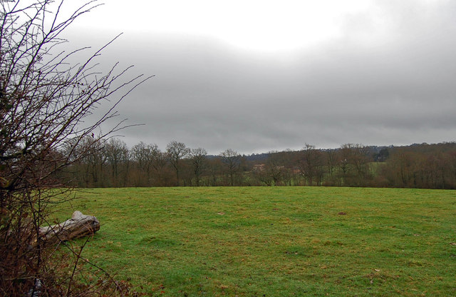
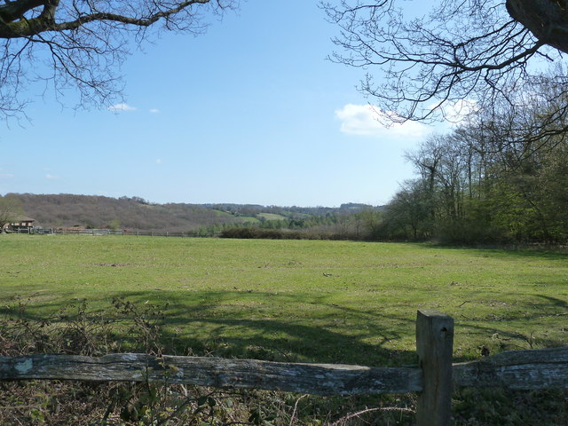
Apple Tree Shaw is a beautiful woodland area located in the county of Sussex, England. This enchanting forest is known for its dense population of apple trees, which give the shaw its name. Spanning over several acres, Apple Tree Shaw is a popular destination for nature enthusiasts and visitors looking to immerse themselves in the beauty of the English countryside.
The shaw is characterized by its rich biodiversity, boasting a wide variety of flora and fauna. The apple trees in the area are predominantly of the cider apple variety, known for their crisp and tangy taste. During the autumn season, the shaw comes alive with vibrant colors as the apples ripen and the leaves turn shades of red, orange, and gold.
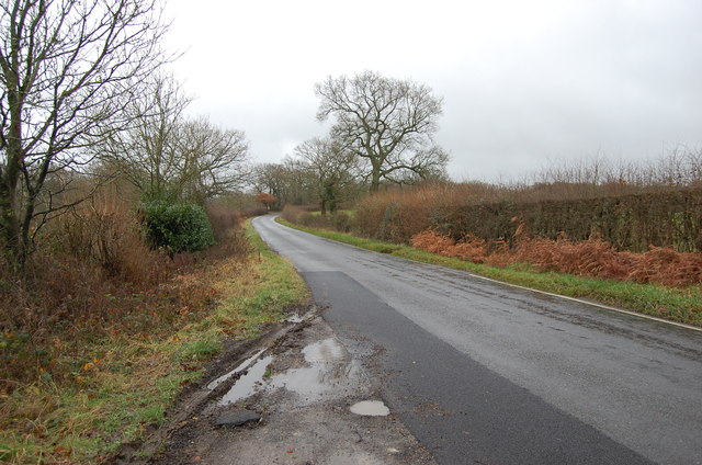
Visitors to Apple Tree Shaw can enjoy leisurely walks along the well-maintained trails that wind through the forest. The paths provide an opportunity to observe the diverse wildlife that calls the shaw home, including birds, squirrels, and deer. The air is filled with the sweet scent of apple blossoms in the spring, creating a sensory experience that is truly captivating.
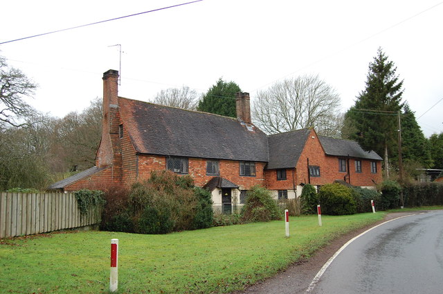
In addition to its natural beauty, Apple Tree Shaw also has historical significance. The area was once part of an apple orchard that supplied the local community with fresh fruit. Though the orchard no longer exists, the shaw stands as a reminder of Sussex's agricultural heritage.
Whether you're a nature lover, history enthusiast, or simply seeking a peaceful retreat, Apple Tree Shaw is a must-visit destination in Sussex. Its picturesque landscape and tranquil atmosphere make it a truly magical place to explore and appreciate the wonders of the natural world.
If you have any feedback on the listing, please let us know in the comments section below.
Apple Tree Shaw Images
Images are sourced within 2km of 50.997589/0.2728403 or Grid Reference TQ5924. Thanks to Geograph Open Source API. All images are credited.


Apple Tree Shaw is located at Grid Ref: TQ5924 (Lat: 50.997589, Lng: 0.2728403)
Administrative County: East Sussex
District: Wealden
Police Authority: Sussex
What 3 Words
///flattered.refills.evolving. Near Heathfield, East Sussex
Nearby Locations
Related Wikis

Paines Cross Meadow
Paines Cross Meadow is a 3.7-hectare (9.1-acre) biological Site of Special Scientific Interest north-east of Heathfield in East Sussex.This site is damp...

Ebenezer Chapel, Heathfield
Ebenezer Chapel is a Strict Baptist place of worship in the hamlet of Broad Oak, part of the parish of Heathfield in the English county of East Sussex...
Mayfield and Five Ashes
Mayfield and Five Ashes is a civil parish in the High Weald of East Sussex, England. The two villages making up the principal part of the parish lie on...
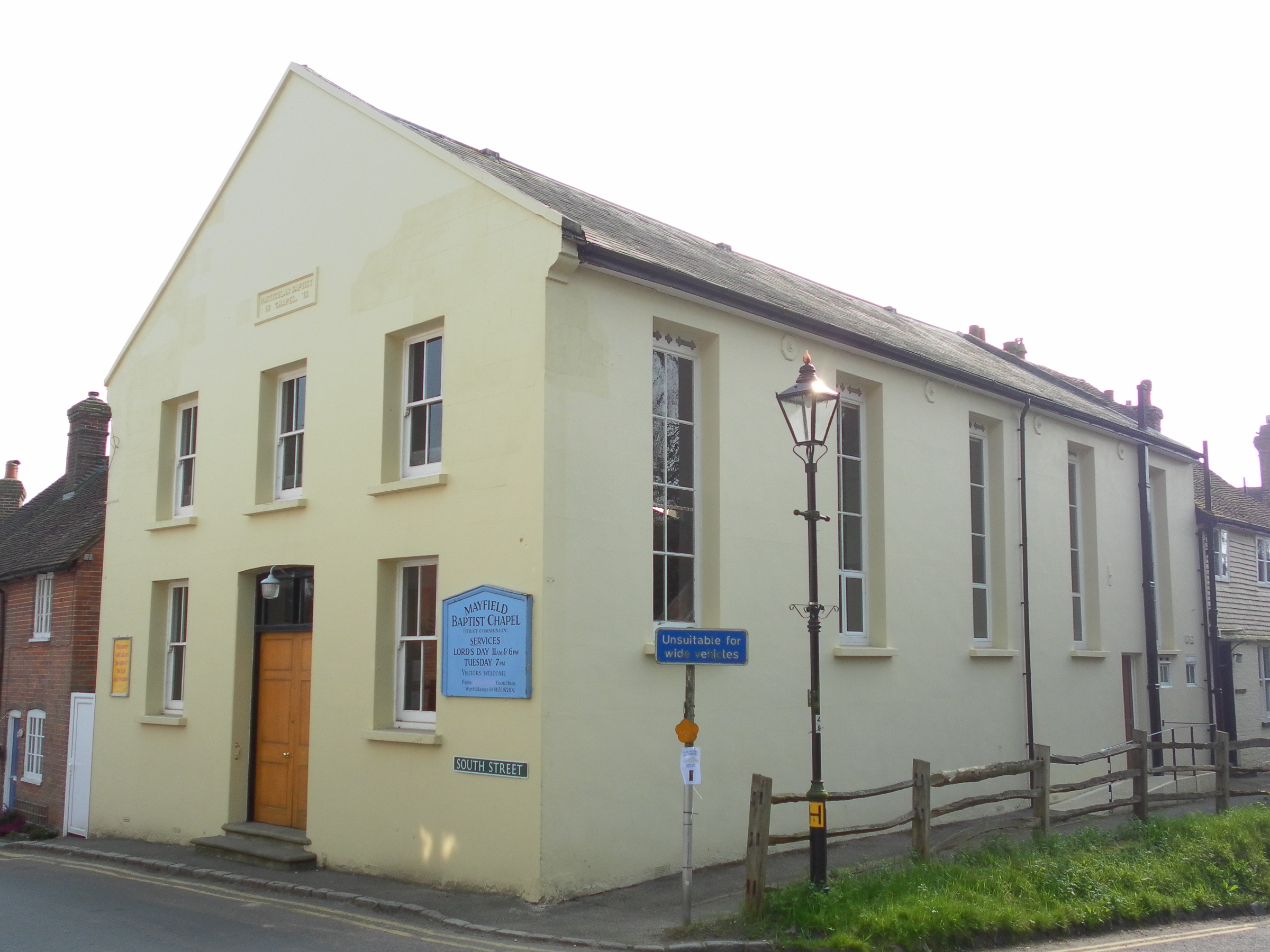
Mayfield Baptist Chapel
Mayfield Baptist Chapel, also known as Mayfield Strict Baptist Chapel, is a place of worship for Gospel Standard Strict Baptists in the village of Mayfield...

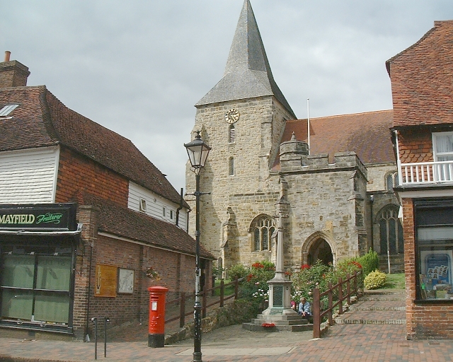
St Dunstan's Church, Mayfield
St Dunstan's, Mayfield in Mayfield, East Sussex was founded in 960 CE by St Dunstan, who was then Archbishop of Canterbury. It is reported as being originally...
Mayfield School, East Sussex
Mayfield School, previously St Leonards-Mayfield School, is an independent Catholic boarding and day school for girls aged 11 to 18. It is in the village...

Mayfield railway station
Mayfield was a railway station on the now closed Eridge to Polegate cross country line (the Cuckoo Line). It was built by London, Brighton and South Coast...

Heathfield, East Sussex
Heathfield is a market town and former civil parish, now in the parish of Heathfield and Waldron, in the Wealden District of East Sussex, England. The...
Nearby Amenities
Located within 500m of 50.997589,0.2728403Have you been to Apple Tree Shaw?
Leave your review of Apple Tree Shaw below (or comments, questions and feedback).