Clappers Wood
Wood, Forest in Sussex Wealden
England
Clappers Wood

Clappers Wood, located in the county of Sussex, England, is a picturesque woodland area renowned for its natural beauty and rich biodiversity. Spanning over a vast area, the wood is a popular destination for nature enthusiasts and hikers alike.
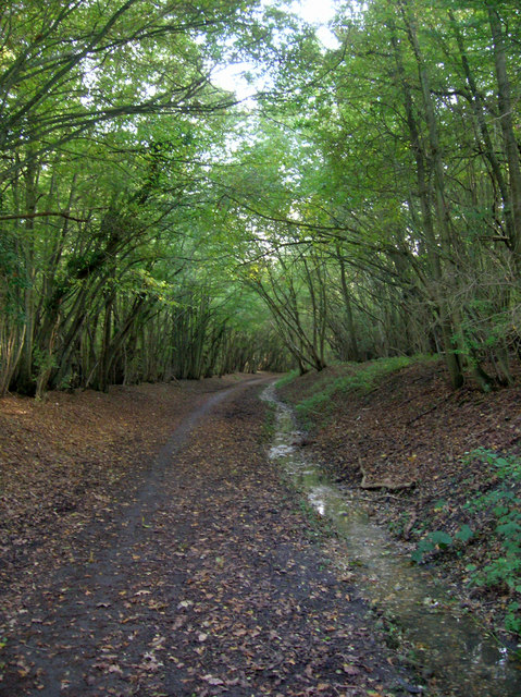
The woodland is characterized by its dense canopy of towering trees, including native species such as oak, beech, and ash. These trees create a serene and tranquil atmosphere, providing a habitat for a wide range of flora and fauna.
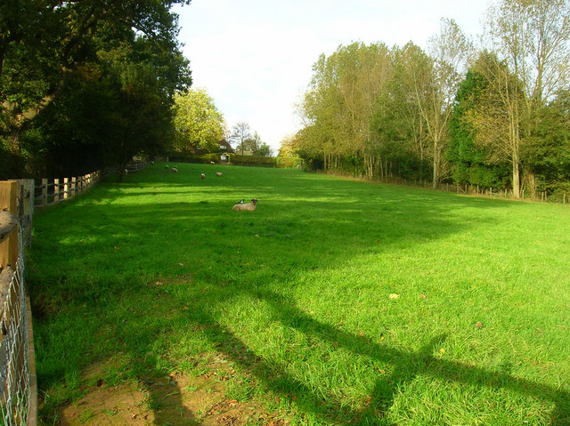
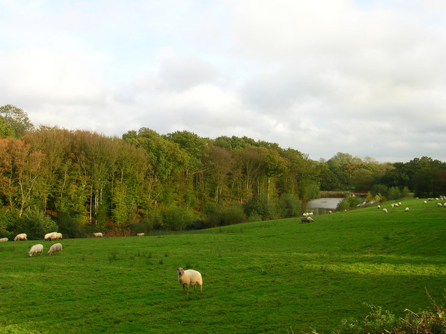
Clappers Wood is home to an abundance of wildlife, with various species of birds, mammals, and insects thriving within its boundaries. Visitors may catch a glimpse of woodland creatures such as deer, foxes, badgers, and squirrels, as well as a diverse array of bird species including owls, woodpeckers, and songbirds.
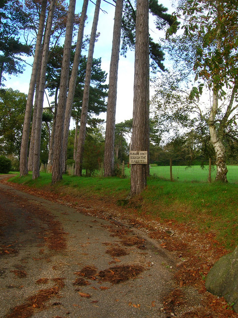
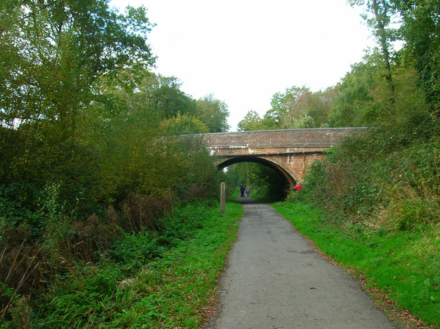
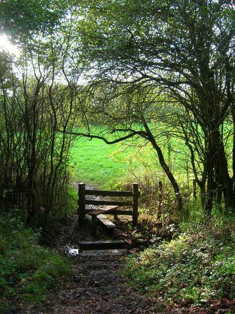
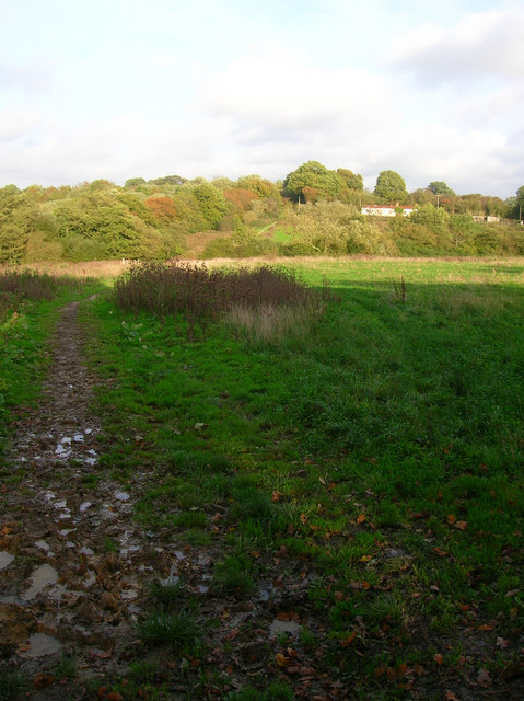
The wood also boasts a network of well-maintained trails and footpaths, allowing visitors to explore its beauty at their own pace. These paths wind through the woodland, leading to hidden clearings, babbling brooks, and scenic viewpoints. Nature enthusiasts can enjoy the sights and sounds of the woodland, immersing themselves in its tranquility.
Clappers Wood is not only a haven for wildlife but also a vital ecosystem that provides important ecological services. It acts as a carbon sink, helping to mitigate the effects of climate change, and also serves as a natural barrier against soil erosion.
Overall, Clappers Wood in Sussex offers a unique opportunity to connect with nature, providing a serene and biodiverse environment for visitors to appreciate and explore.
If you have any feedback on the listing, please let us know in the comments section below.
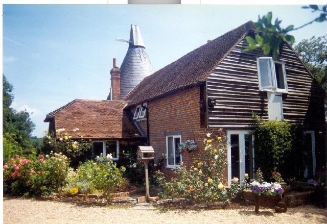
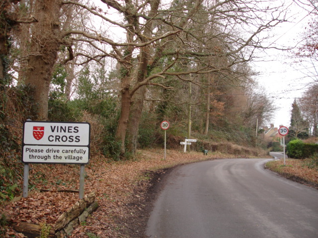
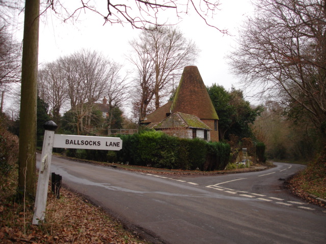
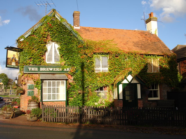
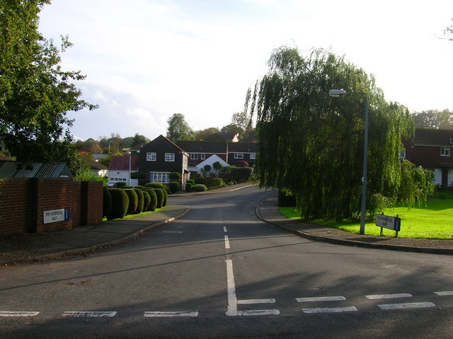
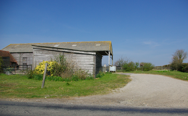
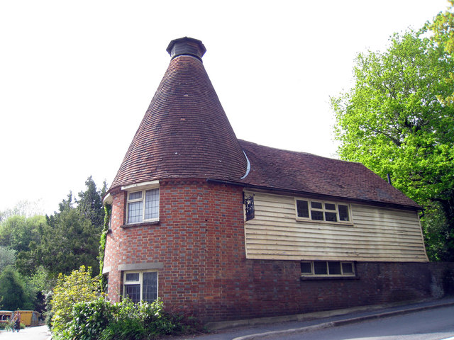
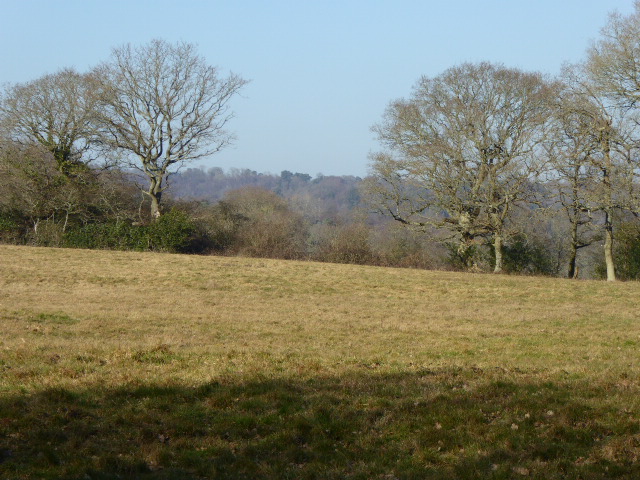
Clappers Wood Images
Images are sourced within 2km of 50.928459/0.26931199 or Grid Reference TQ5916. Thanks to Geograph Open Source API. All images are credited.


Clappers Wood is located at Grid Ref: TQ5916 (Lat: 50.928459, Lng: 0.26931199)
Administrative County: East Sussex
District: Wealden
Police Authority: Sussex
What 3 Words
///grand.crank.blurs. Near Horam, East Sussex
Nearby Locations
Related Wikis
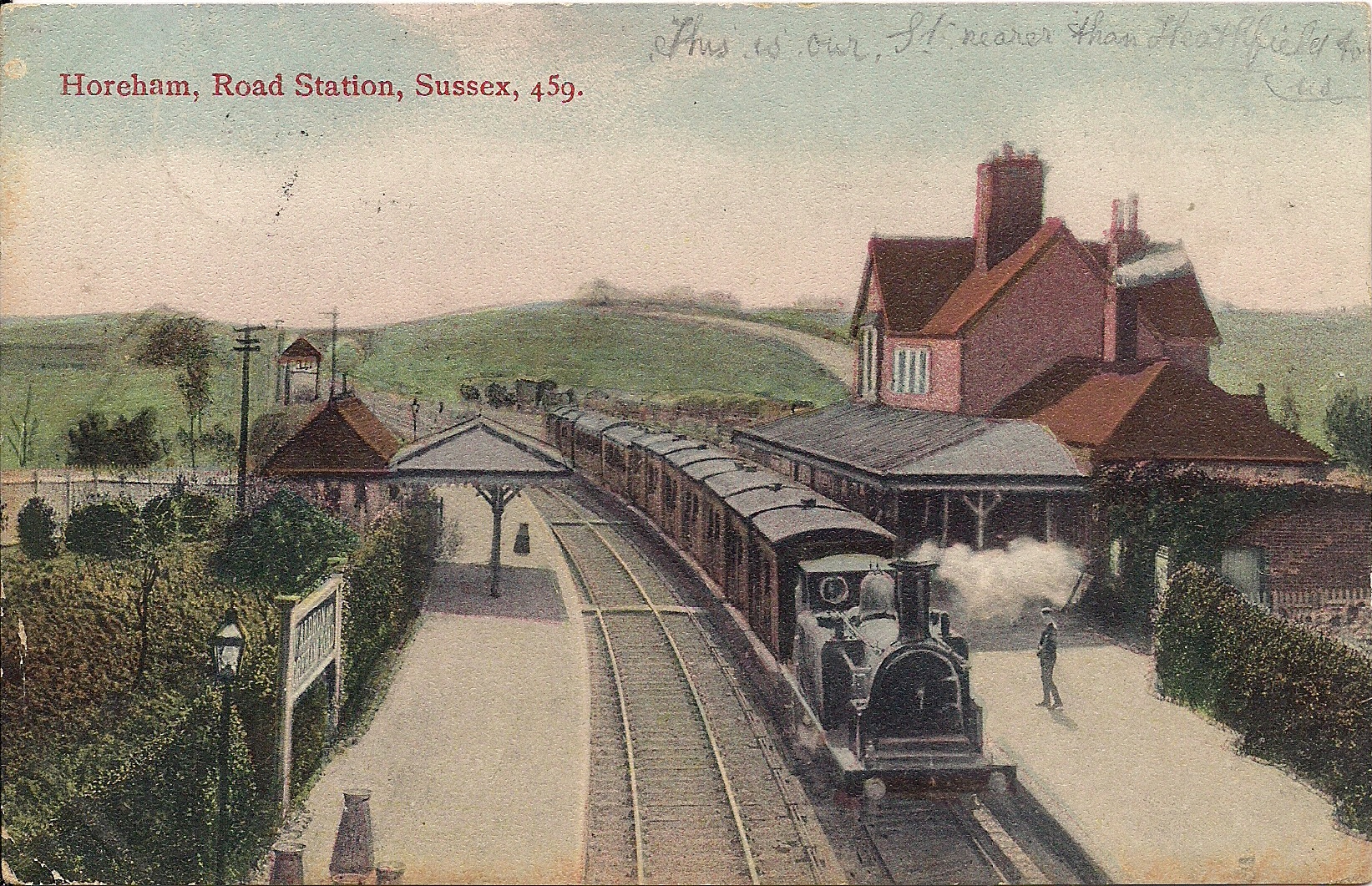
Horam railway station
Horam railway station was on the Cuckoo Line between Hellingly and Heathfield, serving the village of Horam. == History == The station was opened by the...

Warbleton
Warbleton is a village and civil parish in the Wealden district of East Sussex, England. Within its bounds are three other settlements. It is located south...

Horam
Horam is a village, electoral ward and civil parish in the Wealden District of East Sussex, situated three miles (4.8 km) south of Heathfield. Included...

Maynard's Green
Maynard's Green is a village in the Wealden district of East Sussex. == External links == Maynards Green Community Primary School
Sapperton Meadows
Sapperton Meadows is a 14.7-hectare (36-acre) biological Site of Special Scientific Interest south of Heathfield in East Sussex.These poorly drained hay...

St Dunstan's Farm Meadows
St Dunstan's Farm Meadows is a 10.2-hectare (25-acre) biological Site of Special Scientific Interest south-east of Heathfield in East Sussex. It is in...
Cowbeech
Cowbeech is a small village in the civil parish of Herstmonceux in the Wealden district of East Sussex, England. Its nearest town is Hailsham, which lies...

Rushlake Green
Rushlake Green is a small village in the civil parish of Warbleton in the Wealden district of East Sussex, England. Rushlake Green is situated on the slopes...
Nearby Amenities
Located within 500m of 50.928459,0.26931199Have you been to Clappers Wood?
Leave your review of Clappers Wood below (or comments, questions and feedback).