Bush Croft

Wood, Forest in Essex Uttlesford

England

Bush Croft

Houses in Wimbish Green This part of the hamlet is called Upper Green, as opposed to Lower Green which is by a stream to the south.
Houses in Wimbish Green Credit: David Gruar

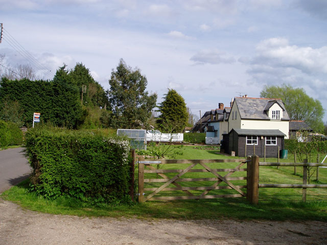
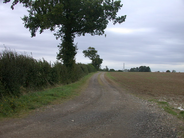
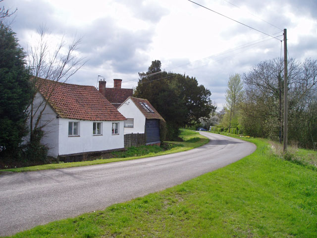
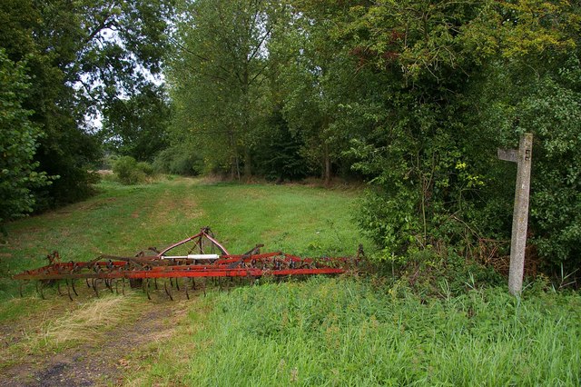
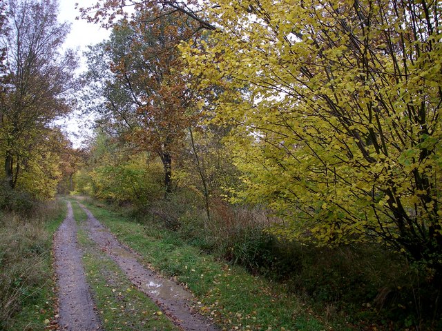
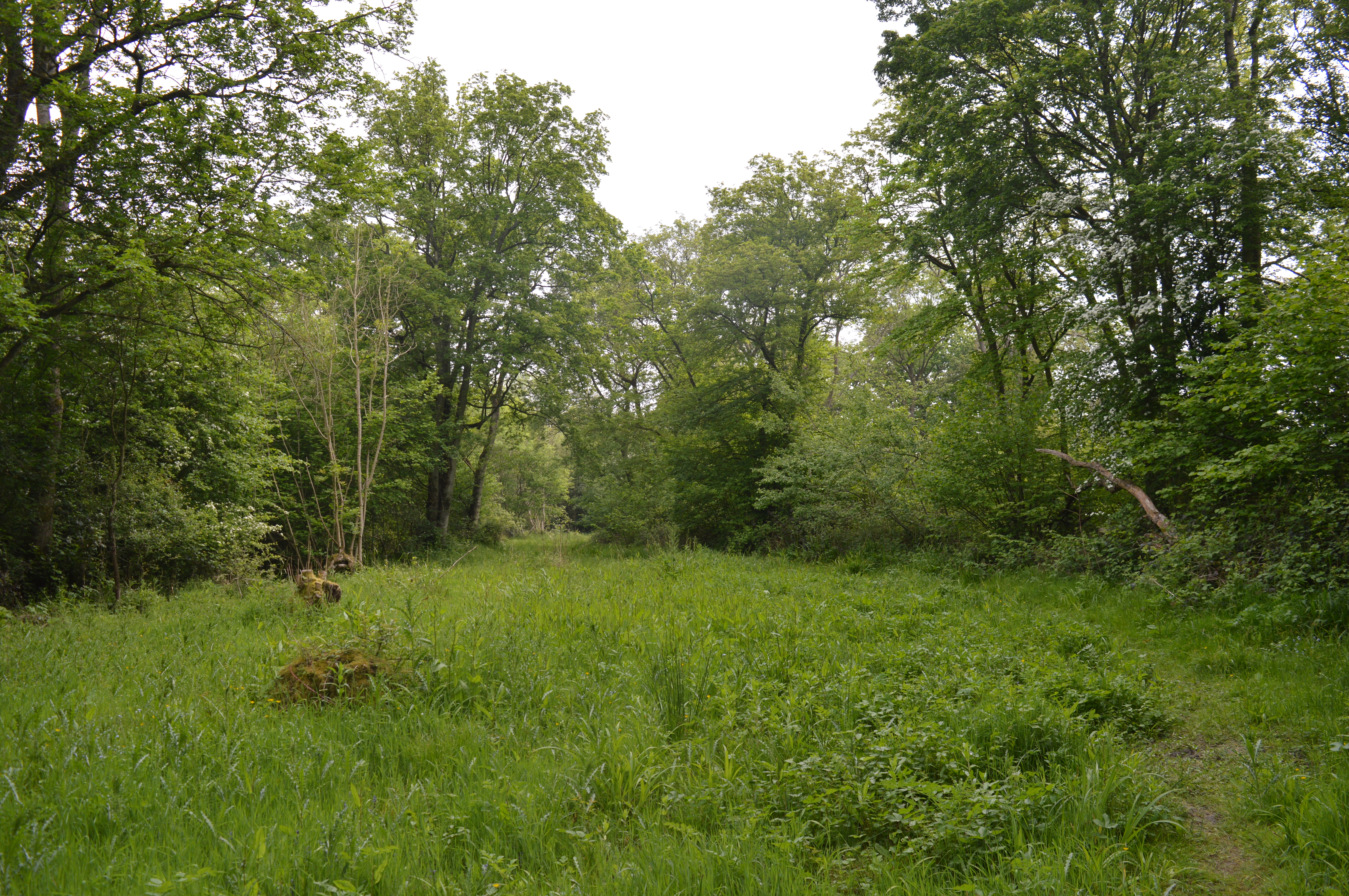
Bush Croft is a small woodland area located in the county of Essex, England. Situated in the northern part of the county, it is part of the larger Epping Forest district. The woodland is primarily composed of deciduous trees, creating a picturesque landscape that changes with the seasons.

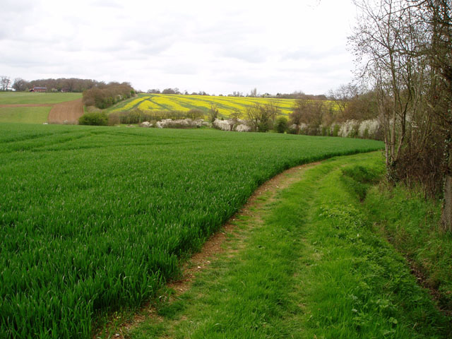
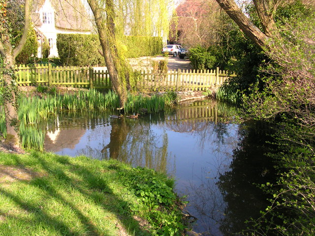
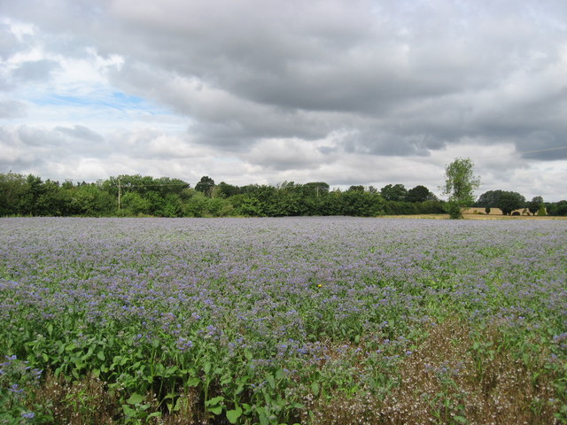
Covering an area of approximately 20 acres, Bush Croft is a popular destination for nature enthusiasts and those seeking a peaceful retreat from urban life. The woodland is home to a diverse range of flora and fauna, including oak, birch, and beech trees, as well as various species of wildflowers and ferns. This rich biodiversity attracts a variety of birds, mammals, and insects, making it an ideal spot for wildlife observation and photography.

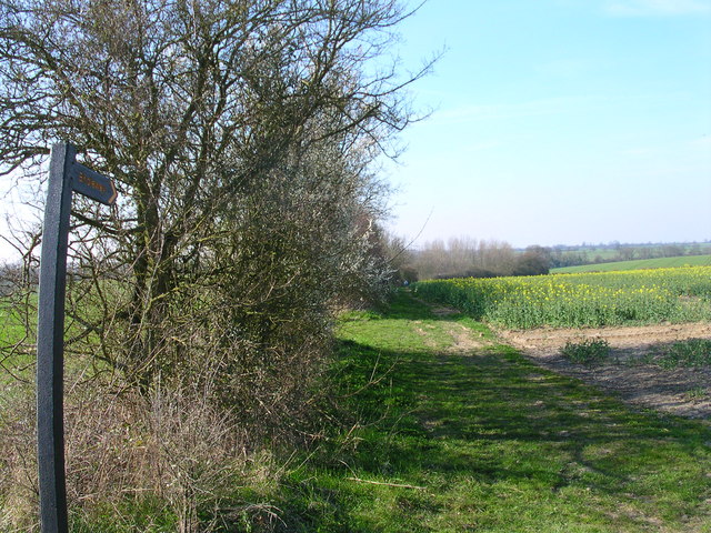
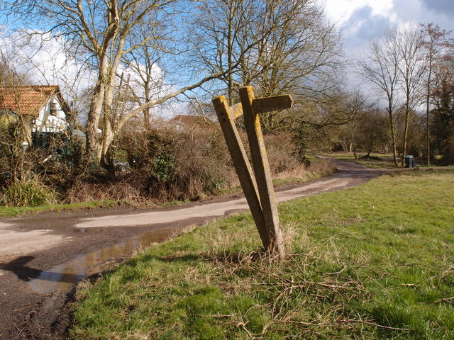
The woodland is crisscrossed by a network of footpaths, allowing visitors to explore the area and enjoy the tranquility of nature. These paths are well-maintained and clearly marked, ensuring that visitors can navigate through the woodland with ease. Additionally, there are several designated picnic areas and benches scattered throughout the woods, providing opportunities for visitors to relax and enjoy a meal amidst the natural surroundings.

Bush Croft is also notable for its historical significance. It is believed to have been established during the medieval period and has been mentioned in various historical documents. The woodland has retained much of its original charm, with ancient trees and remnants of old stone walls still visible in certain areas.

Overall, Bush Croft offers a serene and idyllic natural setting for individuals looking to connect with nature and escape the hustle and bustle of everyday life.

If you have any feedback on the listing, please let us know in the comments section below.
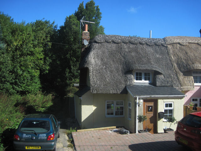
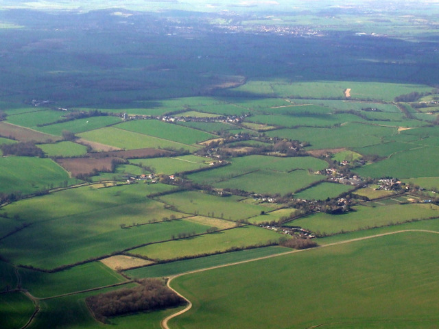
Bush Croft Images

Images are sourced within 2km of 51.987134/0.32154446 or Grid Reference TL5934. Thanks to Geograph Open Source API. All images are credited.

Houses in Wimbish Green This part of the hamlet is called Upper Green, as opposed to Lower Green which is by a stream to the south.
Houses in Wimbish Green
This part of the hamlet is called Upper Green, as opposed to Lower Green which is by a stream to the south.
Yardley Bees This apiary is in a field at the junction of the B184 with the road to Yardley Hall
Yardley Bees
This apiary is in a field at the junction of the B184 with the road to Yardley Hall
Track of old Roman Road
Upper Green, near Tye Green There are two places called Upper Green marked on the 1:25,000 map within 500 metres of each other. One relates to Wimbish Green and is in TL6035; this one, I presume, belongs to Tye Green to the west. Photo taken at the point where the public footpath leaves the road to the north.
Upper Green, near Tye Green
There are two places called Upper Green marked on the 1:25,000 map within 500 metres of each other. One relates to Wimbish Green and is in TL6035; this one, I presume, belongs to Tye Green to the west. Photo taken at the point where the public footpath leaves the road to the north.
Wheat and oilseed rape, near Wimbish In the foreground, a large field of unripened wheat; in the background the rape is just coming into flower. The River Pant flows in the valley in between.
Wheat and oilseed rape, near Wimbish
In the foreground, a large field of unripened wheat; in the background the rape is just coming into flower. The River Pant flows in the valley in between.
'White Hart' public house, Rowney Corner, Essex Rowney Corner is on the B184 near Wimbish.
'White Hart' public house, Rowney Corner, Essex
Rowney Corner is on the B184 near Wimbish.
Footpath Wimbish Green This footpath runs from the B184 to Wimbish Green
Footpath Wimbish Green
This footpath runs from the B184 to Wimbish Green
Rowney wood main ride. The main ride on the eastern side of the wood, amidst an area where the conifers have been removed to allow broadleaved trees to take their rightful place.
Rowney wood main ride.
The main ride on the eastern side of the wood, amidst an area where the conifers have been removed to allow broadleaved trees to take their rightful place.
Conyards Farmhouse pond
The spot but not interesting enough for a walk.
Borage Field of borage in flower near Howlett End, Essex.
Borage
Field of borage in flower near Howlett End, Essex.
Yardley Farm Early C17 barn, timber framed and weatherboarded with grey slate roof. Grade II listed. <span class="nowrap"><a title="http://www.heritagegateway.org.uk/Gateway/Results_Single.aspx?resourceID=5&uid=122264" rel="nofollow ugc noopener" href="http://www.heritagegateway.org.uk/Gateway/Results_Single.aspx?resourceID=5&uid=122264">Link</a><img style="margin-left:2px;" alt="External link" title="External link - shift click to open in new window" src="https://s1.geograph.org.uk/img/external.png" width="10" height="10"/></span>
Yardley Farm
Early C17 barn, timber framed and weatherboarded with grey slate roof. Grade II listed. LinkExternal link
White Hart at Rowney Corner on B184
Road to Wimbish Green from B184
Thatched cottage at Howlett End Lies on the B184 next to the telephone box
Thatched cottage at Howlett End
Lies on the B184 next to the telephone box
Cottage just west of Rowney Corner
Wimbish Green from the air Viewed from a Stansted bound flight from Glasgow.
Wimbish Green from the air
Viewed from a Stansted bound flight from Glasgow.
Concrete marker posts at Lower Green Directional signs in need of a spirit level or at least a man with a tamper.
Concrete marker posts at Lower Green
Directional signs in need of a spirit level or at least a man with a tamper.
Show me another place!

Bush Croft is located at Grid Ref: TL5934 (Lat: 51.987134, Lng: 0.32154446)

Administrative County: Essex

District: Uttlesford

Police Authority: Essex

What 3 Words

///translate.directive.frizz. Near Thaxted, Essex

Nearby Locations

Bush Croft

Related Wikis

Wimbish

Wimbish is a village and civil parish within Uttlesford, in Essex, England. The first recorded mention of the village was in 1042, when it was referred...

RAF Great Sampford

Royal Air Force Great Sampford or more simply RAF Great Sampford is a former Royal Air Force satellite station located 1.7 miles (2.7 km) west of Great...

Carver Barracks

Carver Barracks is a British Army base on the former site of RAF Debden, approximately 1 mile north of the village of Debden, in Essex. The nearest town...

West Wood, Little Sampford

West Wood is a 23.6 hectares (58 acres) biological Site of Special Scientific Interest in Little Sampford, north of Thaxted in northwestern Essex. It is...

Radwinter

Radwinter is a village and a civil parish on the B1053 road, in the Uttlesford district of the county of Essex, England. The population in the 2011 census...

Debden Green

Debden Green is a hamlet in the civil parish of Debden, in the Uttlesford district of Essex, England and 2 miles (3 km) west from the town of Thaxted....

Boyton End, Essex

Boyton End is a hamlet in the Uttlesford district of Essex, England. It is located approximately one mile north-east of Thaxted on the B1051 road.

RAF Debden

Royal Air Force Debden or more simply RAF Debden is a former Royal Air Force station located 3 miles (4.8 km) southeast of Saffron Walden and approximately...

Nearby Amenities

Located within 500m of 51.987134,0.32154446
Power: pole
Lat/Long: 51.9826782/0.3205373
Power: pole
Lat/Long: 51.9864428/0.3281924
Power: pole
Lat/Long: 51.9873117/0.3274548
Power: pole
Lat/Long: 51.9880781/0.3267869
Power: pole
Lat/Long: 51.9888296/0.3261378
Power: pole
Lat/Long: 51.9895201/0.3255048
Power: pole
Lat/Long: 51.99026/0.3248879
Power: pole
Lat/Long: 51.9911751/0.3240886
Power: pole
Lat/Long: 51.9909669/0.3237131
Power: pole
Lat/Long: 51.9902204/0.3243756
Power: pole
Lat/Long: 51.9894672/0.3250435
Power: pole
Lat/Long: 51.9887256/0.3257355
Power: pole
Lat/Long: 51.9880269/0.3263792
Power: pole
Lat/Long: 51.9873612/0.3269693
Power: pole
Lat/Long: 51.9863619/0.3278625
The data included in this document is from www.openstreetmap.org. The data is made available under ODbL.

Have you been to Bush Croft?

Leave your review of Bush Croft below (or comments, questions and feedback).