Black Wood
Wood, Forest in Sussex Wealden
England
Black Wood

Black Wood is a dense forest located in the county of Sussex in southern England. Covering an area of approximately 500 acres, it is known for its rich biodiversity and captivating beauty. The forest is situated near the village of Black Wood and is a popular destination for nature enthusiasts and hikers.
The woodland is predominantly composed of mature oak trees, which tower over the forest floor. These majestic trees provide shelter for a wide variety of flora and fauna, making it a haven for wildlife. The forest boasts a diverse range of plant species, including bluebells, wild garlic, and primroses, which create a vibrant and colorful display during the spring months.
Numerous walking trails crisscross the forest, allowing visitors to explore its hidden treasures. These trails vary in difficulty, catering to both casual strollers and experienced hikers. A highlight of Black Wood is the enchanting Black Wood Stream, which meanders through the forest, adding to its picturesque charm.
In addition to its natural beauty, Black Wood also has a rich history. It is believed that the forest has been in existence for centuries, and remnants of ancient settlements, such as burial mounds and stone circles, can be found within its boundaries. These historical artifacts provide insight into the lives of the early inhabitants of the area.
Overall, Black Wood, Sussex is a captivating forest that offers a tranquil escape from the hustle and bustle of modern life. With its diverse flora and fauna, picturesque trails, and historical significance, it is a must-visit destination for nature lovers and history enthusiasts alike.
If you have any feedback on the listing, please let us know in the comments section below.
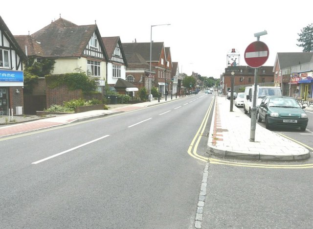
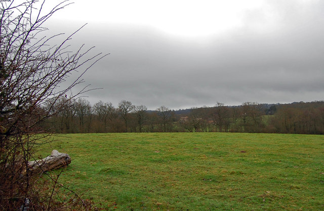
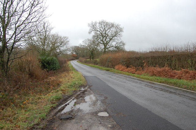
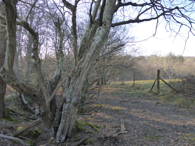
Black Wood Images
Images are sourced within 2km of 50.979973/0.26945811 or Grid Reference TQ5922. Thanks to Geograph Open Source API. All images are credited.


Black Wood is located at Grid Ref: TQ5922 (Lat: 50.979973, Lng: 0.26945811)
Administrative County: East Sussex
District: Wealden
Police Authority: Sussex
What 3 Words
///mistaking.pacifist.unusually. Near Heathfield, East Sussex
Nearby Locations
Related Wikis

Ebenezer Chapel, Heathfield
Ebenezer Chapel is a Strict Baptist place of worship in the hamlet of Broad Oak, part of the parish of Heathfield in the English county of East Sussex...

Heathfield, East Sussex
Heathfield is a market town and former civil parish, now in the parish of Heathfield and Waldron, in the Wealden District of East Sussex, England. The...
Heathfield and Waldron
Heathfield and Waldron is a civil parish within the Wealden District of East Sussex, England. Heathfield is surrounded by the High Weald Area of Outstanding...

Heathfield Community College
Heathfield Community College is a secondary school near the market town of Heathfield, East Sussex, England. == School Enrollment == The college draws...
Heathfield Park SSSI
Heathfield Park SSSI is a 41-hectare (100-acre) biological Site of Special Scientific Interest east of Heathfield in East Sussex. It is part of Heathfield...
Heathfield railway station (East Sussex)
Heathfield railway station was on the Cuckoo Line between Horam and Mayfield, serving the market town of Heathfield. It was opened in 1880 by London, Brighton...

All Saints Church, Heathfield
All Saints Church is a Church of England parish church in Heathfield, East Sussex, England. It was constructed in the 14th century and is a Grade II* listed...

Paines Cross Meadow
Paines Cross Meadow is a 3.7-hectare (9.1-acre) biological Site of Special Scientific Interest north-east of Heathfield in East Sussex.This site is damp...
Nearby Amenities
Located within 500m of 50.979973,0.26945811Have you been to Black Wood?
Leave your review of Black Wood below (or comments, questions and feedback).