Longham Wood

Wood, Forest in Sussex Wealden

England

Longham Wood

Mayfield Rd (A267) The A267 road is a 21 mile long road from Tunbridge Wells <a href="https://www.geograph.org.uk/photo/6669020">TQ5838 : A26, A267 junction</a> to Horsebridge.
Website: <span class="nowrap"><a title="http://www.sabre-roads.org.uk/wiki/index.php?title=A267" rel="nofollow ugc noopener" href="http://www.sabre-roads.org.uk/wiki/index.php?title=A267">Link</a><img style="margin-left:2px;" alt="External link" title="External link - shift click to open in new window" src="https://s1.geograph.org.uk/img/external.png" width="10" height="10"/></span>
Mayfield Rd (A267) Credit: N Chadwick

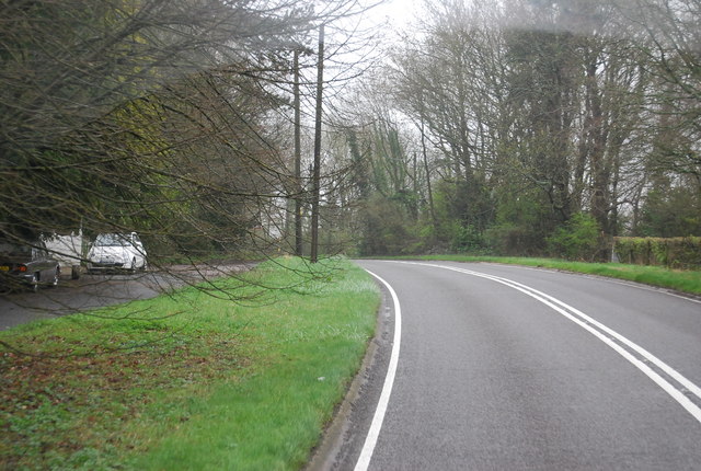
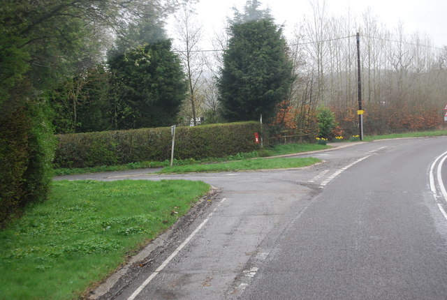
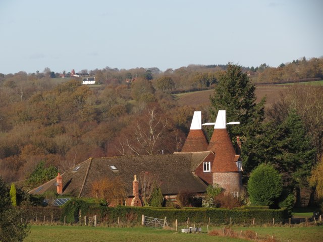
Longham Wood, located in Sussex, England, is a picturesque woodland area encompassing a total area of approximately 100 hectares. The wood is situated in the heart of the Sussex countryside, surrounded by rolling hills and lush green landscapes. It is a popular destination for nature enthusiasts, hikers, and birdwatchers due to its diverse ecosystem and tranquil atmosphere.

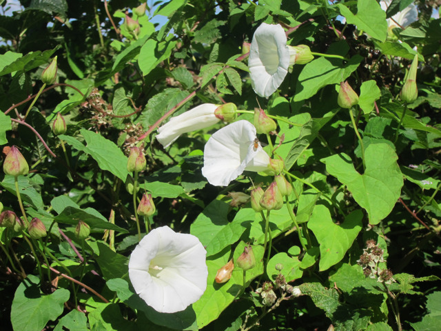
Longham Wood is primarily composed of deciduous trees, including oak, beech, and birch, which provide a stunning canopy during the spring and summer months. The forest floor is blanketed with an array of flora, such as bluebells, wild garlic, and ferns, adding to the wood's natural beauty.

The wood is home to an abundance of wildlife, making it a haven for animal lovers. Visitors may spot various species of birds, including woodpeckers, robins, and owls, as well as mammals like foxes, squirrels, and deer. The wood's peaceful ambiance is further enhanced by the gentle sound of birdsong and the rustle of leaves underfoot.

Longham Wood offers several well-maintained footpaths and trails, allowing visitors to explore its captivating surroundings. There are also designated picnic areas where families and friends can relax and enjoy a meal amidst the serenity of nature.

Due to its close proximity to nearby villages and towns, Longham Wood is easily accessible for both locals and tourists. Whether one seeks a peaceful walk, wildlife spotting, or simply a break from the hustle and bustle of daily life, Longham Wood provides a delightful escape into the natural wonders of Sussex.

If you have any feedback on the listing, please let us know in the comments section below.
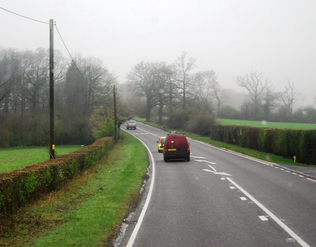
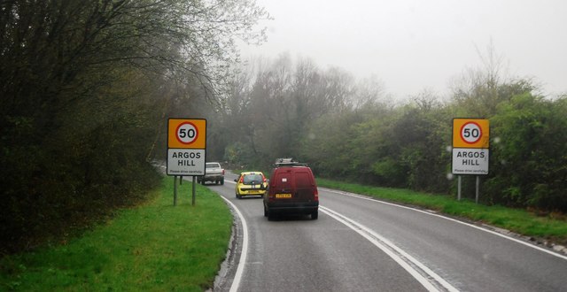
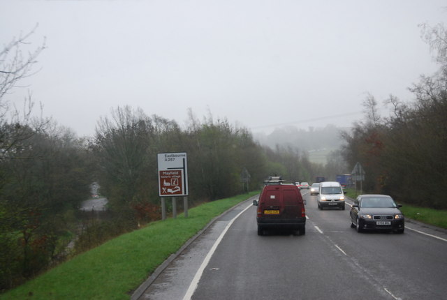
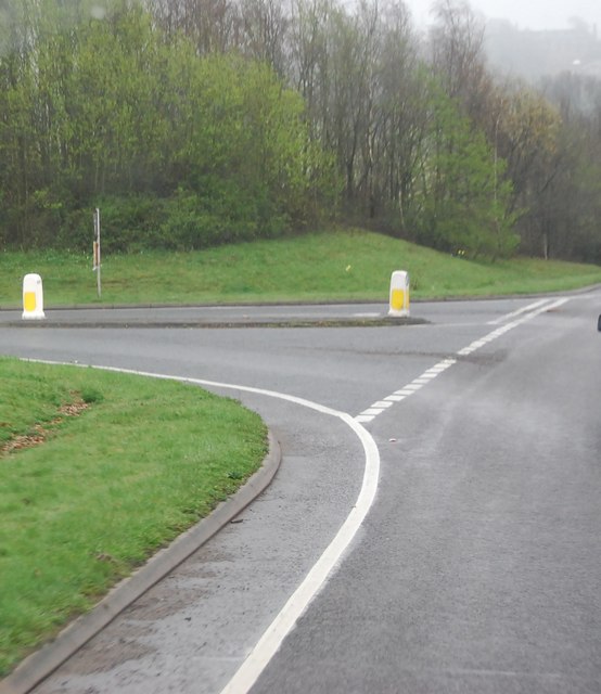
Longham Wood Images

Images are sourced within 2km of 51.040989/0.2715973 or Grid Reference TQ5929. Thanks to Geograph Open Source API. All images are credited.

Mayfield Rd (A267) The A267 road is a 21 mile long road from Tunbridge Wells <a href="https://www.geograph.org.uk/photo/6669020">TQ5838 : A26, A267 junction</a> to Horsebridge.
Website: <span class="nowrap"><a title="http://www.sabre-roads.org.uk/wiki/index.php?title=A267" rel="nofollow ugc noopener" href="http://www.sabre-roads.org.uk/wiki/index.php?title=A267">Link</a><img style="margin-left:2px;" alt="External link" title="External link - shift click to open in new window" src="https://s1.geograph.org.uk/img/external.png" width="10" height="10"/></span>
Mayfield Rd (A267)
The A267 road is a 21 mile long road from Tunbridge Wells TQ5838 : A26, A267 junction to Horsebridge. Website: LinkExternal link
Entering Argos Hill, A267 The A267 road is a 21 mile long road from Tunbridge Wells <a href="https://www.geograph.org.uk/photo/6669020">TQ5838 : A26, A267 junction</a> to Horsebridge.
Website: <span class="nowrap"><a title="http://www.sabre-roads.org.uk/wiki/index.php?title=A267" rel="nofollow ugc noopener" href="http://www.sabre-roads.org.uk/wiki/index.php?title=A267">Link</a><img style="margin-left:2px;" alt="External link" title="External link - shift click to open in new window" src="https://s1.geograph.org.uk/img/external.png" width="10" height="10"/></span>
Entering Argos Hill, A267
The A267 road is a 21 mile long road from Tunbridge Wells TQ5838 : A26, A267 junction to Horsebridge. Website: LinkExternal link
Approaching the Mayfield turn, A267 The A267 road is a 21 mile long road from Tunbridge Wells <a href="https://www.geograph.org.uk/photo/6669020">TQ5838 : A26, A267 junction</a> to Horsebridge.
Website: <span class="nowrap"><a title="http://www.sabre-roads.org.uk/wiki/index.php?title=A267" rel="nofollow ugc noopener" href="http://www.sabre-roads.org.uk/wiki/index.php?title=A267">Link</a><img style="margin-left:2px;" alt="External link" title="External link - shift click to open in new window" src="https://s1.geograph.org.uk/img/external.png" width="10" height="10"/></span>
Approaching the Mayfield turn, A267
The A267 road is a 21 mile long road from Tunbridge Wells TQ5838 : A26, A267 junction to Horsebridge. Website: LinkExternal link
Mayfield turn off, A267
Tunbridge Wells Rd (A267) The A267 road is a 21 mile long road from Tunbridge Wells <a href="https://www.geograph.org.uk/photo/6669020">TQ5838 : A26, A267 junction</a> to Horsebridge.
Website: <span class="nowrap"><a title="http://www.sabre-roads.org.uk/wiki/index.php?title=A267" rel="nofollow ugc noopener" href="http://www.sabre-roads.org.uk/wiki/index.php?title=A267">Link</a><img style="margin-left:2px;" alt="External link" title="External link - shift click to open in new window" src="https://s1.geograph.org.uk/img/external.png" width="10" height="10"/></span>
Tunbridge Wells Rd (A267)
The A267 road is a 21 mile long road from Tunbridge Wells TQ5838 : A26, A267 junction to Horsebridge. Website: LinkExternal link
Tunbridge Wells Rd, Yew Tree Rd Junction
Turn off to Great Trodgers Farm, A267
Oast House at Old Place, Little Trodgers Lane, Mayfield Single round kiln oast house.
Oast House at Old Place, Little Trodgers Lane, Mayfield
Single round kiln oast house.
The Oast House, Old Palace Farm, Little Trodgers Lane, Mayfield Single round kiln oast house.
The Oast House, Old Palace Farm, Little Trodgers Lane, Mayfield
Single round kiln oast house.
Wild flowers near Old Palace
Mayfield College Swimming Pool Mid sixties - House Swimming Competition
Mayfield College Swimming Pool
Mid sixties - House Swimming Competition
The Oasts, Glebe Farm, Coggins Mill Lane, Mayfield The cowls have recently been re-added since <a href="https://www.geograph.org.uk/photo/1105000">TQ5927 : The Oasts, Glebe Farm, Coggins Mill Lane, Mayfield, East Sussex</a>
The Oasts, Glebe Farm, Coggins Mill Lane, Mayfield
Oast House at Old Place, Little Trodgers Lane, Mayfield Single round kiln oast house.
Oast House at Old Place, Little Trodgers Lane, Mayfield
Single round kiln oast house.
A267 - Mayfield bypass Nearing the northern end of the bypass, which was routed along the course of the closed railway from Tunbridge Wells to Eastbourne - the 'Cuckoo Line'.
A267 - Mayfield bypass
Nearing the northern end of the bypass, which was routed along the course of the closed railway from Tunbridge Wells to Eastbourne - the 'Cuckoo Line'.
Footpath Mayfield & Five Ashes 32b An inviting route, but no time to investigate. The start of the path on Little Trodgers Lane has been moved somewhat north, close to the wood on the left, compared with both OS maps and the highway authority's on-line rights-of-way map.
Footpath Mayfield & Five Ashes 32b
An inviting route, but no time to investigate. The start of the path on Little Trodgers Lane has been moved somewhat north, close to the wood on the left, compared with both OS maps and the highway authority's on-line rights-of-way map.
Stump and tree above footpath 43a Or to give the path its full title, Mayfield & Five Ashes 43a. Beyond is Heronry Wood. No herons were noticed.
Stump and tree above footpath 43a
Or to give the path its full title, Mayfield & Five Ashes 43a. Beyond is Heronry Wood. No herons were noticed.
Logs behind the hedge These may have come from across the road on the right, where old ponds have recently been cleaned and the surroundings cleared. Beyond is Furnace Wood, which seems untouched.
Logs behind the hedge
These may have come from across the road on the right, where old ponds have recently been cleaned and the surroundings cleared. Beyond is Furnace Wood, which seems untouched.
A267 - leaving Argos Hill There was a 50 limit through the diffuse settlement.
A267 - leaving Argos Hill
There was a 50 limit through the diffuse settlement.
Show me another place!

Longham Wood is located at Grid Ref: TQ5929 (Lat: 51.040989, Lng: 0.2715973)

Administrative County: East Sussex

District: Wealden

Police Authority: Sussex

What 3 Words

///tadpoles.pipe.piper. Near Town Row, East Sussex

Related Wikis

Mayfield College

Mayfield College is a defunct Roman Catholic boys' boarding school founded as the Holy Trinity Orphanage For Boys in 1865–1866 by the American-born Dowager...

Tidebrook

Tidebrook is a hamlet within the parish of Wadhurst in East Sussex, England. It is located between the villages of Mayfield and Wadhurst. The brook for...

Jameah Islameah School

Jameah Islameah School was an independent Islamic school in East Sussex. The school was located on a 54 acre site and had residential facilities to house...

St Joseph's College, Mark Cross

St Joseph's College was a Roman Catholic minor seminary in Mark Cross, outside Rotherfield in East Sussex. It was designed by Edward Pugin and the site...

Mayfield School, East Sussex

Mayfield School, previously St Leonards-Mayfield School, is an independent Catholic boarding and day school for girls aged 11 to 18. It is in the village...

Walter's Mill, Mark Cross

Walter's Mill is a tower mill at Mark Cross, Sussex, England which has been converted to residential accommodation. == History == Walter's Mill was first...

St Dunstan's Church, Mayfield

St Dunstan's, Mayfield in Mayfield, East Sussex was founded in 960 CE by St Dunstan, who was then Archbishop of Canterbury. It is reported as being originally...

Argos Hill Mill, Mayfield

Argos Hill Mill is a grade II* listed post mill at Argos Hill, Mayfield, East Sussex, England As of 2017 it is in the process of restoration by the Argos...

Nearby Amenities

Located within 500m of 51.040989,0.2715973
Colour: yellow
Marker: post
Material: concrete
Utility: gas
Lat/Long: 51.0398577/0.2685004
Colour: white
Marker: aerial
Material: plastic
Utility: gas
Lat/Long: 51.0398539/0.2685154
Colour: yellow
Marker: post
Material: concrete
Utility: gas
Lat/Long: 51.0398823/0.2683716
The data included in this document is from www.openstreetmap.org. The data is made available under ODbL.

Have you been to Longham Wood?

Leave your review of Longham Wood below (or comments, questions and feedback).