Rocks Wood

Wood, Forest in Sussex Wealden

England

Rocks Wood

Mayfield Rd (A267) The A267 road is a 21 mile long road from Tunbridge Wells <a href="https://www.geograph.org.uk/photo/6669020">TQ5838 : A26, A267 junction</a> to Horsebridge.
Website: <span class="nowrap"><a title="http://www.sabre-roads.org.uk/wiki/index.php?title=A267" rel="nofollow ugc noopener" href="http://www.sabre-roads.org.uk/wiki/index.php?title=A267">Link</a><img style="margin-left:2px;" alt="External link" title="External link - shift click to open in new window" src="https://s1.geograph.org.uk/img/external.png" width="10" height="10"/></span>
Mayfield Rd (A267) Credit: N Chadwick

Rocks Wood, located in Sussex, England, is a charming and picturesque woodland that spans over a vast area. It is a prominent feature of the Sussex countryside, known for its natural beauty and diverse range of flora and fauna. The wood is situated near the village of Forest, which adds to its tranquil and serene atmosphere.

As its name suggests, Rocks Wood is characterized by its rocky terrain, which adds to its unique appeal. The woodland is home to an abundance of mature trees, including oak, beech, and ash, which create a dense canopy overhead. These trees provide shelter and a habitat for various wildlife species, such as deer, foxes, and a wide variety of birds.

The wood offers a network of well-maintained footpaths, allowing visitors to explore and immerse themselves in the natural surroundings. These paths lead to hidden clearings, bubbling streams, and small ponds, adding to the sense of discovery and adventure.

Rocks Wood also holds historical significance, with remnants of ancient settlements and archaeological sites scattered throughout its boundaries. These remnants serve as a testament to the wood's rich cultural heritage and provide an insight into its past inhabitants.

The woodland is a popular destination for nature enthusiasts, walkers, and families seeking a peaceful retreat. It offers a tranquil escape from the hustle and bustle of everyday life, allowing visitors to reconnect with nature and appreciate the beauty of the Sussex countryside.

If you have any feedback on the listing, please let us know in the comments section below.
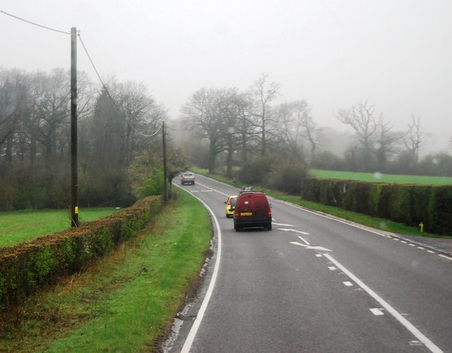
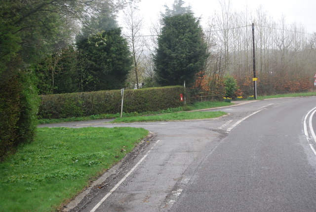
Rocks Wood Images

Images are sourced within 2km of 51.050158/0.2718462 or Grid Reference TQ5930. Thanks to Geograph Open Source API. All images are credited.

Mayfield Rd (A267) The A267 road is a 21 mile long road from Tunbridge Wells <a href="https://www.geograph.org.uk/photo/6669020">TQ5838 : A26, A267 junction</a> to Horsebridge.
Website: <span class="nowrap"><a title="http://www.sabre-roads.org.uk/wiki/index.php?title=A267" rel="nofollow ugc noopener" href="http://www.sabre-roads.org.uk/wiki/index.php?title=A267">Link</a><img style="margin-left:2px;" alt="External link" title="External link - shift click to open in new window" src="https://s1.geograph.org.uk/img/external.png" width="10" height="10"/></span>
Mayfield Rd (A267)
The A267 road is a 21 mile long road from Tunbridge Wells TQ5838 : A26, A267 junction to Horsebridge. Website: LinkExternal link
Tunbridge Wells Rd, Yew Tree Rd Junction
Turn off to Great Trodgers Farm, A267
Mayfield College Swimming Pool Mid sixties - House Swimming Competition
Mayfield College Swimming Pool
Mid sixties - House Swimming Competition
Footpath Mayfield & Five Ashes 32b An inviting route, but no time to investigate. The start of the path on Little Trodgers Lane has been moved somewhat north, close to the wood on the left, compared with both OS maps and the highway authority's on-line rights-of-way map.
Footpath Mayfield & Five Ashes 32b
An inviting route, but no time to investigate. The start of the path on Little Trodgers Lane has been moved somewhat north, close to the wood on the left, compared with both OS maps and the highway authority's on-line rights-of-way map.
Stump and tree above footpath 43a Or to give the path its full title, Mayfield & Five Ashes 43a. Beyond is Heronry Wood. No herons were noticed.
Stump and tree above footpath 43a
Or to give the path its full title, Mayfield & Five Ashes 43a. Beyond is Heronry Wood. No herons were noticed.
Sweeping bend on A267 In the distance is a sign for the right turn into Lake Street.
Sweeping bend on A267
In the distance is a sign for the right turn into Lake Street.
Countryside near Mayfield
Woodland by the path to Mayfield
Stile into the woods
Crossing a small stream
Mayfield College Grade II listed. <span class="nowrap"><a title="http://www.britishlistedbuildings.co.uk/en-435702-mayfield-college-mayfield" rel="nofollow ugc noopener" href="http://www.britishlistedbuildings.co.uk/en-435702-mayfield-college-mayfield">Link</a><img style="margin-left:2px;" alt="External link" title="External link - shift click to open in new window" src="https://s1.geograph.org.uk/img/external.png" width="10" height="10"/></span>
Mayfield College
Grade II listed. LinkExternal link
Footpath to Mayfield
Footpath and woodland
Small footbridge
Small footbridge
Small woodland stream A tributary of the River Rother.
Small woodland stream
A tributary of the River Rother.
Waymark in the woods
Woodland stream A tributary of the River Rother.
Woodland stream
A tributary of the River Rother.
Show me another place!

Rocks Wood is located at Grid Ref: TQ5930 (Lat: 51.050158, Lng: 0.2718462)

Administrative County: East Sussex

District: Wealden

Police Authority: Sussex

What 3 Words

///dote.dislodge.requires. Near Town Row, East Sussex

Nearby Locations

Rocks Wood

Related Wikis

Mayfield College

Mayfield College is a defunct Roman Catholic boys' boarding school founded as the Holy Trinity Orphanage For Boys in 1865–1866 by the American-born Dowager...

Walter's Mill, Mark Cross

Walter's Mill is a tower mill at Mark Cross, Sussex, England which has been converted to residential accommodation. == History == Walter's Mill was first...

Jameah Islameah School

Jameah Islameah School was an independent Islamic school in East Sussex. The school was located on a 54 acre site and had residential facilities to house...

St Joseph's College, Mark Cross

St Joseph's College was a Roman Catholic minor seminary in Mark Cross, outside Rotherfield in East Sussex. It was designed by Edward Pugin and the site...

Tidebrook

Tidebrook is a hamlet within the parish of Wadhurst in East Sussex, England. It is located between the villages of Mayfield and Wadhurst. The brook for...

Best Beech Hill

Best Beech Hill is a locality in the civil parish of Wadhurst in the Wealden district of East Sussex, England. Wadhurst lies approximately 1.6 miles...

Rotherfield and Mark Cross railway station

Rotherfield and Mark Cross (also Rotherfield) is the name of a closed station on the Eridge - Heathfield - Polegate railway (the Cuckoo Line) in East Sussex...

Argos Hill Mill, Mayfield

Argos Hill Mill is a grade II* listed post mill at Argos Hill, Mayfield, East Sussex, England As of 2017 it is in the process of restoration by the Argos...

Nearby Amenities

Located within 500m of 51.050158,0.2718462
Power: pole
Lat/Long: 51.0511086/0.2776408
Power: pole
Lat/Long: 51.0515385/0.2756694
Power: pole
Lat/Long: 51.0519533/0.2738884
Power: pole
Lat/Long: 51.0522298/0.2725339
Power: pole
Lat/Long: 51.0521489/0.2707529
Power: pole
Lat/Long: 51.0520663/0.2681941
Earls Farm
Addr City: Crowborough
Addr Hamlet: Mark Cross
Addr Postcode: TN6 3PF
Addr Street: Wadhurst Road
Place: farm
Lat/Long: 51.0540036/0.2751195
Colour: white
Marker: aerial
Material: plastic
Utility: gas
Lat/Long: 51.0470067/0.2667897
The data included in this document is from www.openstreetmap.org. The data is made available under ODbL.

Have you been to Rocks Wood?

Leave your review of Rocks Wood below (or comments, questions and feedback).