Cinder Path Belt
Wood, Forest in Cambridgeshire East Cambridgeshire
England
Cinder Path Belt
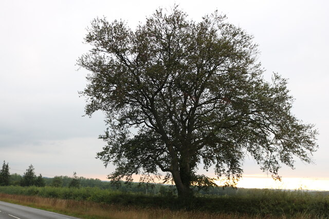
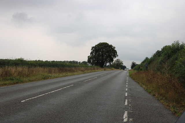
Cinder Path Belt is a picturesque woodland area located in Cambridgeshire, England. Spanning over a vast area, it is a popular destination for nature enthusiasts and outdoor explorers. The name "Cinder Path Belt" derives from the pathway that runs through the heart of this serene forest, which is composed of cinder material, giving it a unique charm.
The forest boasts a diverse range of tree species, including oak, beech, and birch, providing a rich and vibrant ecosystem. The lush greenery offers a tranquil atmosphere, making it an ideal spot for leisurely walks, jogging, or cycling. The well-maintained cinder path provides easy access for visitors to explore the area.
Wildlife thrives in Cinder Path Belt, with various species of birds, mammals, and insects calling it home. Birdwatchers can expect to spot native species such as woodpeckers, owls, and thrushes. Squirrels, rabbits, and deer are also commonly sighted, adding to the natural charm of the forest.
For those seeking a deeper connection with nature, Cinder Path Belt offers numerous opportunities for exploration and discovery. The forest is crisscrossed by smaller trails, allowing visitors to venture off the beaten path and uncover hidden gems within the woodland. These trails wind through enchanting glades, tranquil ponds, and towering trees, providing a truly immersive experience.
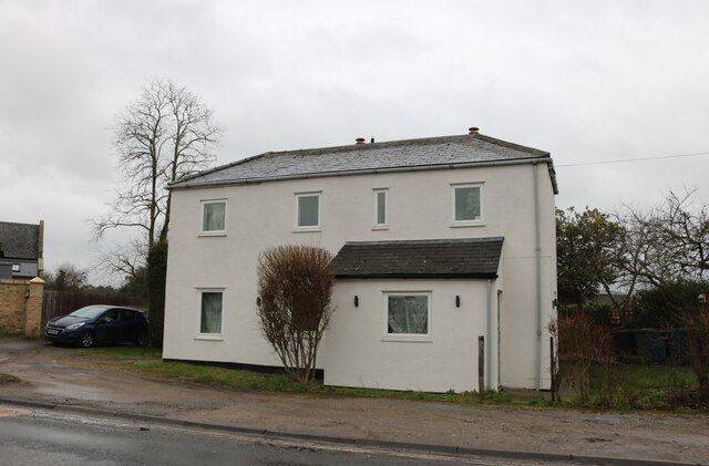
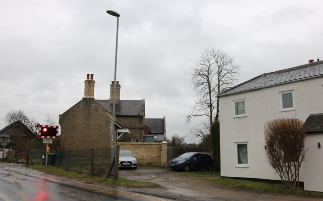
Cinder Path Belt is a true haven for nature-lovers, offering a peaceful retreat from the hustle and bustle of everyday life. Whether it's a leisurely stroll, a family picnic, or an adventurous hike, this idyllic forest is sure to captivate visitors with its natural beauty and abundant biodiversity.
If you have any feedback on the listing, please let us know in the comments section below.
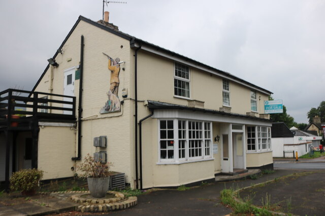
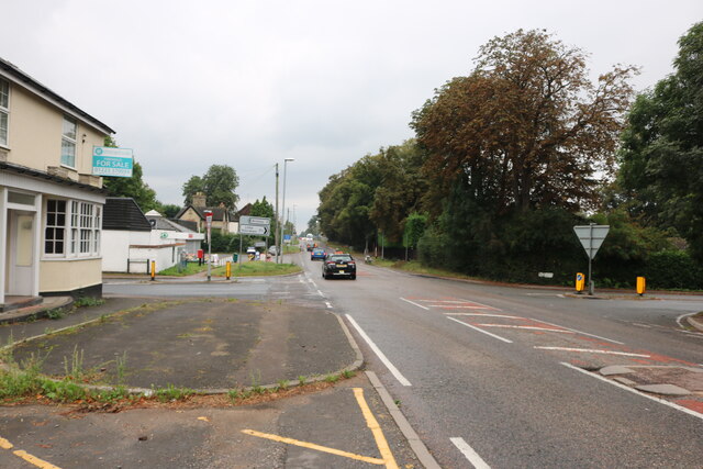
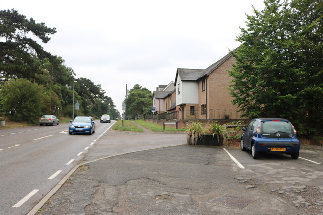
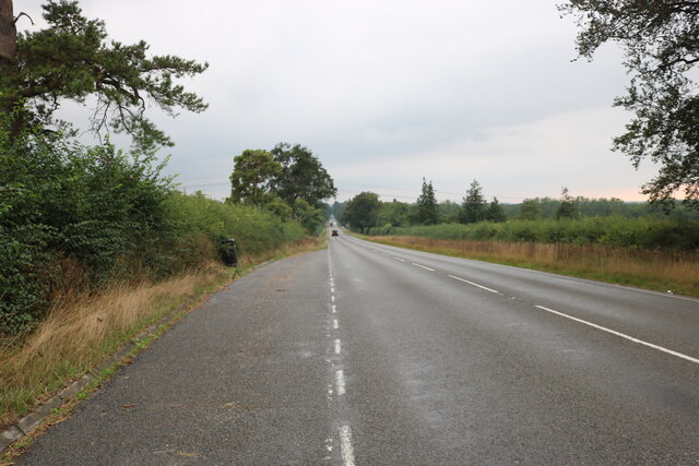
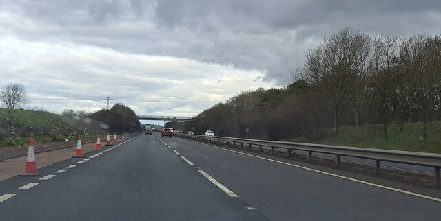
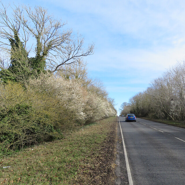
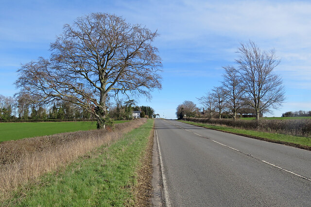
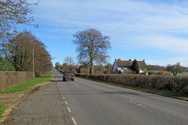
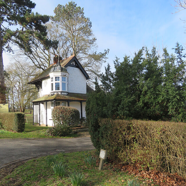
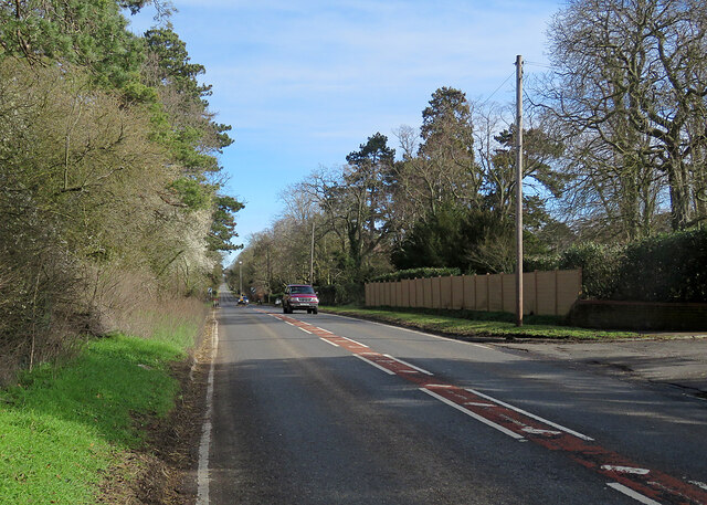
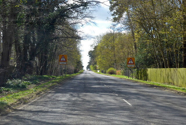
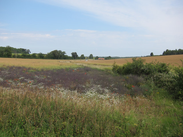
Cinder Path Belt Images
Images are sourced within 2km of 52.192853/0.32879687 or Grid Reference TL5957. Thanks to Geograph Open Source API. All images are credited.


Cinder Path Belt is located at Grid Ref: TL5957 (Lat: 52.192853, Lng: 0.32879687)
Administrative County: Cambridgeshire
District: East Cambridgeshire
Police Authority: Cambridgeshire
What 3 Words
///tasks.quarrel.hits. Near Bottisham, Cambridgeshire
Nearby Locations
Related Wikis

Six Mile Bottom
Six Mile Bottom is a hamlet within the parish of Little Wilbraham, near Cambridge in England. == Etymology == The hamlet was named in 1801, deriving its...

Six Mile Bottom railway station
Six Mile Bottom railway station is a disused railway station on the Ipswich to Cambridge line between Dullingham and Fulbourn. It served the village of...

Dullingham railway station
Dullingham is a railway station that serves the village of Dullingham in Cambridgeshire, England. It is about 1 mile (1.6 km) north-west of the centre...

Westley Waterless
Westley Waterless is a small village and civil parish in East Cambridgeshire, England, 5 miles south west of Newmarket. == History == The parish of Westley...
Dullingham
Dullingham is a small village and civil parish in East Cambridgeshire, England. It is situated 4 miles (6 km) south of Newmarket and 14 miles (23 km) east...
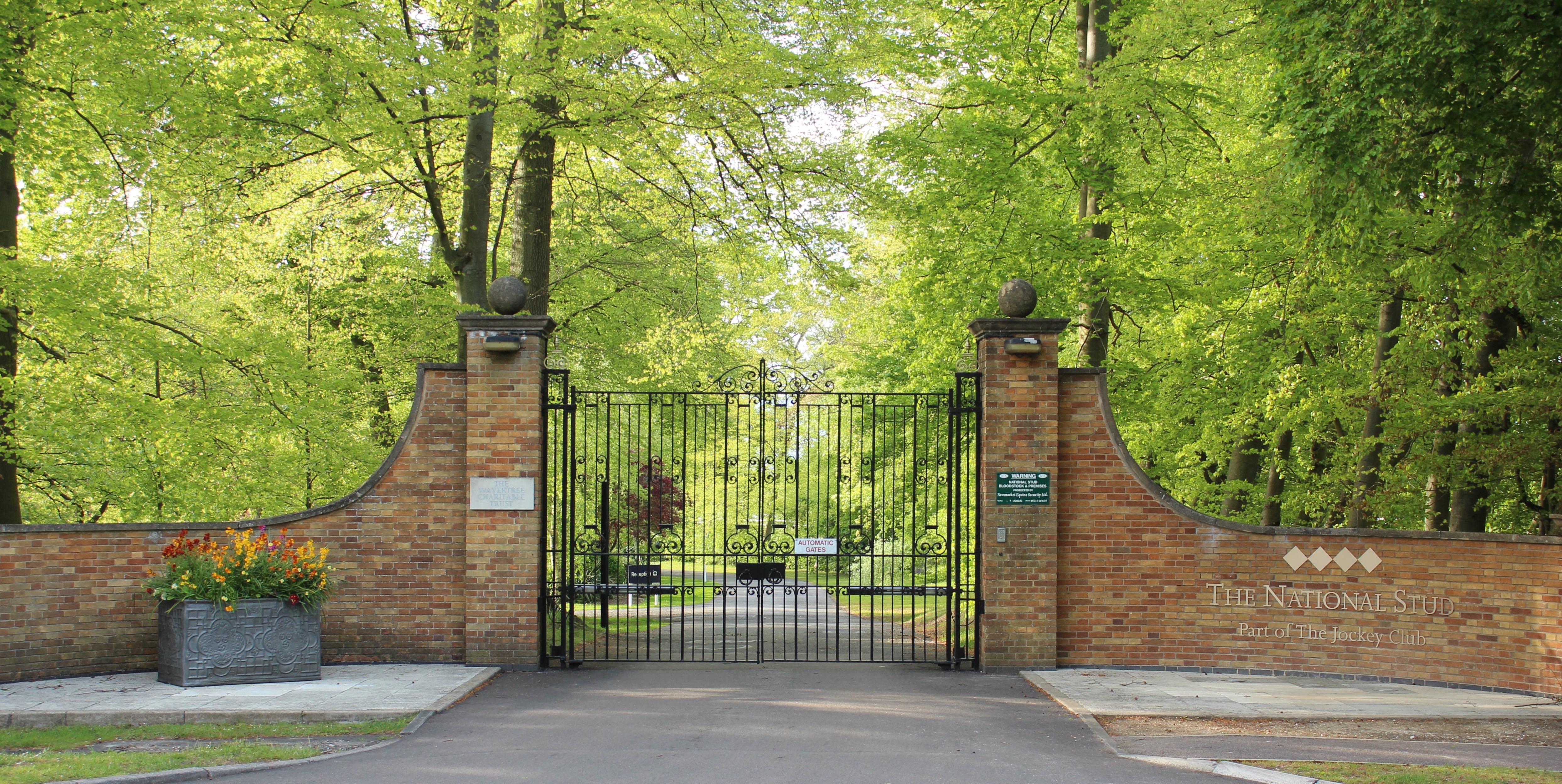
The National Stud
The National Stud is a United Kingdom Thoroughbred horse breeding farm located two miles from Newmarket. The Stud originated in 1916 as a result of a gift...

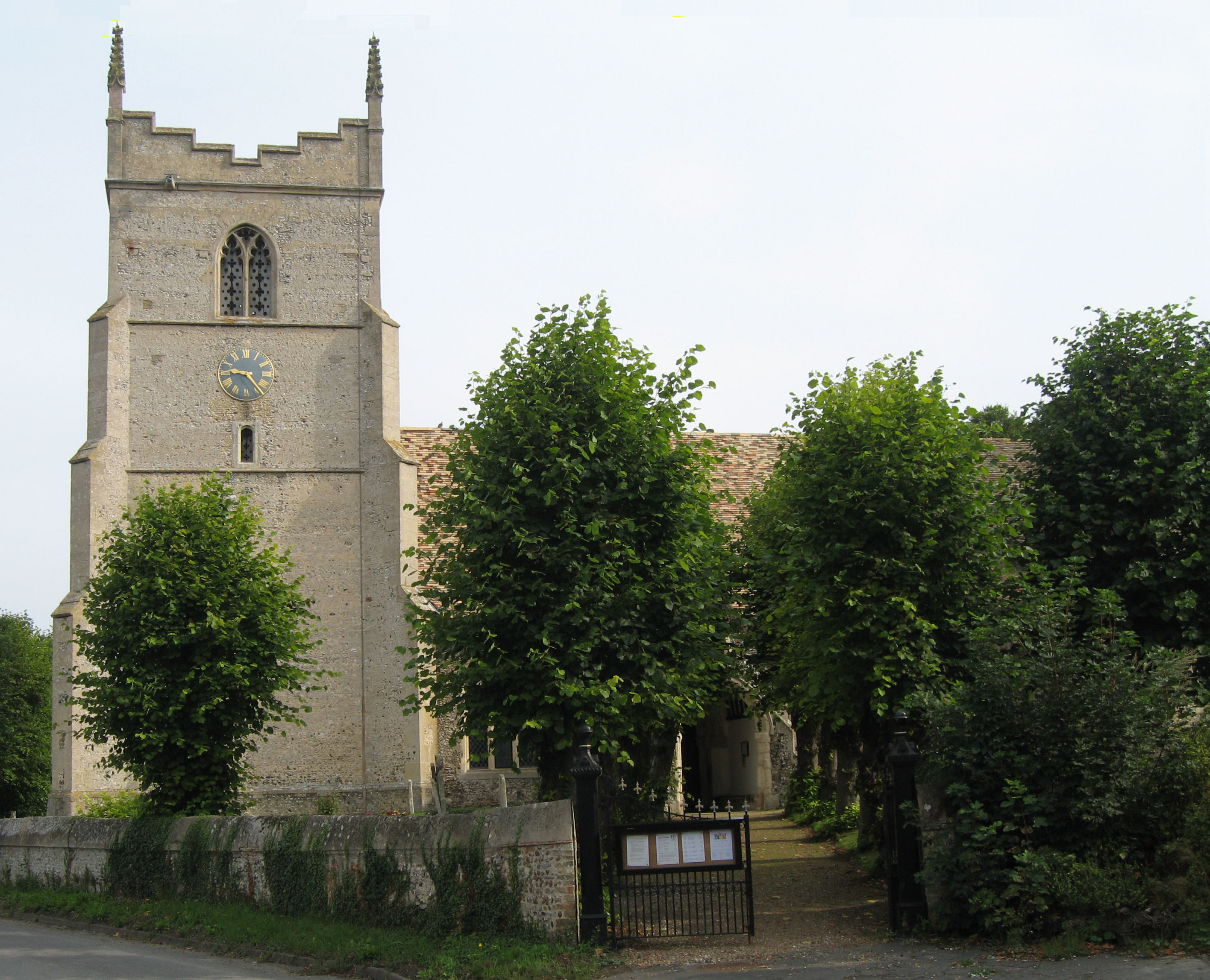
Great Wilbraham
Great Wilbraham is a small village situated in a rural area some seven miles (11 km) to the east of Cambridge, between the edge of an area of low-lying...
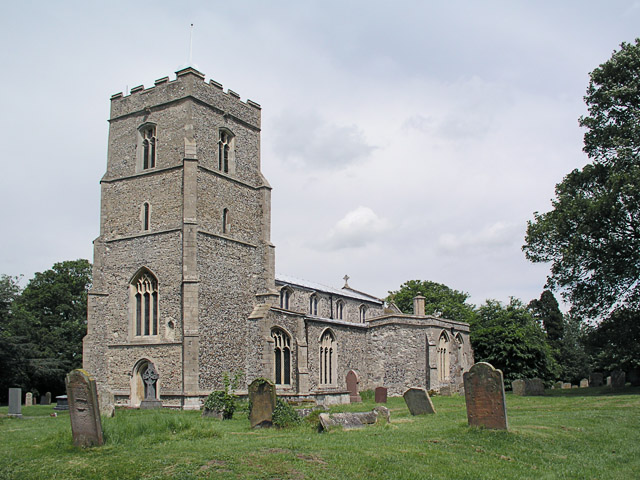
Great Wilbraham Preceptory
Great Wilbraham Preceptory is a preceptory in Great and Little Wilbraham, Cambridgeshire. Much of the Church of Saint Nicholas at Great Wilbraham dates...
Nearby Amenities
Located within 500m of 52.192853,0.32879687Have you been to Cinder Path Belt?
Leave your review of Cinder Path Belt below (or comments, questions and feedback).