Bungalow Wood
Wood, Forest in Cambridgeshire East Cambridgeshire
England
Bungalow Wood

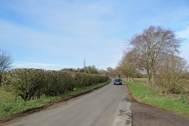
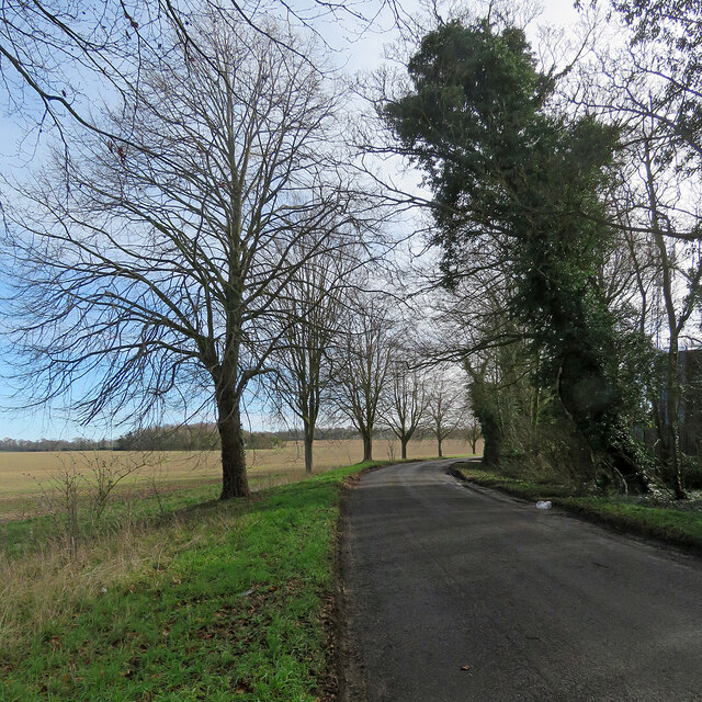
Bungalow Wood is a quaint and picturesque woodland located in Cambridgeshire, England. Situated near the village of Bungalow, it covers an area of approximately 100 acres and is known for its scenic beauty and tranquil atmosphere. The wood is predominantly composed of broadleaf trees, including oak, ash, and beech, which create a dense canopy that provides shade and a sense of seclusion.
The woodland is a popular destination for nature enthusiasts, hikers, and birdwatchers alike. Its diverse ecosystem supports a variety of flora and fauna, with an array of wildflowers, ferns, and mosses carpeting the forest floor. Visitors can spot a range of bird species, including woodpeckers, thrushes, and owls, as well as small mammals like squirrels and rabbits.
Traversing through Bungalow Wood is made easy by a network of well-maintained footpaths and trails. These paths wind their way through the forest, allowing visitors to explore the wood's different sections and discover its hidden gems. The wood also features several picnic areas and benches, providing opportunities for visitors to take a break, relax, and enjoy the peaceful surroundings.
Bungalow Wood is not only a haven for nature enthusiasts but also serves as an important habitat for wildlife conservation. The woodland is managed and protected by local authorities, ensuring the preservation of its natural beauty for future generations to enjoy. With its serene ambiance and stunning natural landscapes, Bungalow Wood is a true gem in the Cambridgeshire countryside.
If you have any feedback on the listing, please let us know in the comments section below.
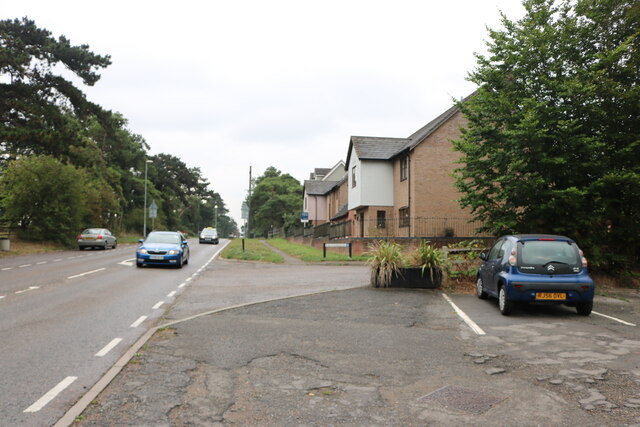
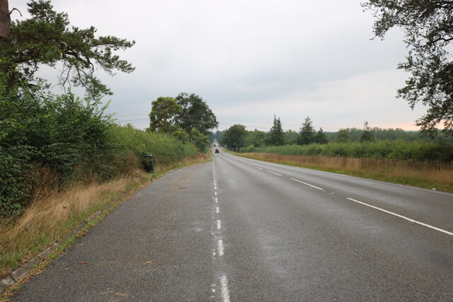
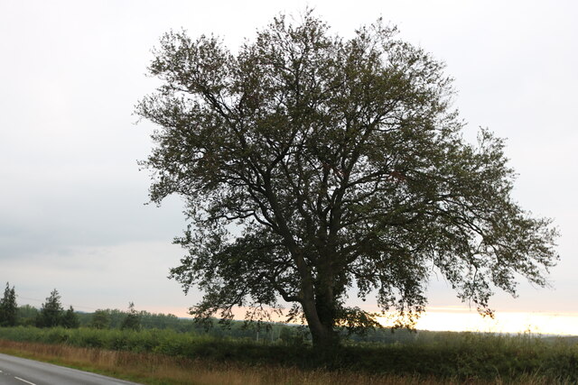
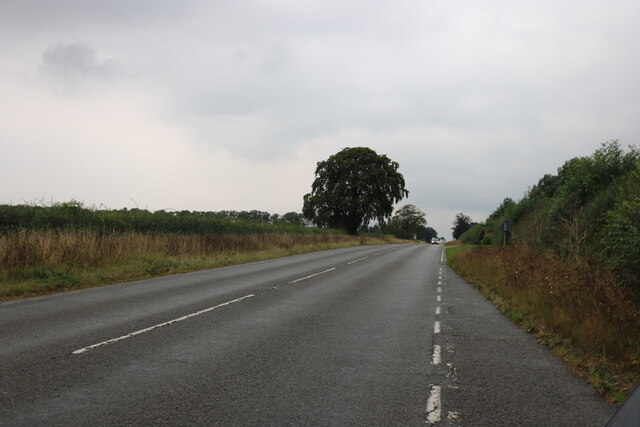
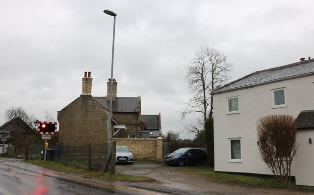
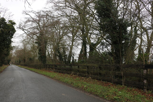
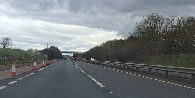
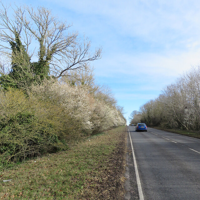
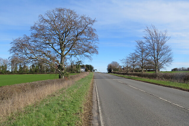
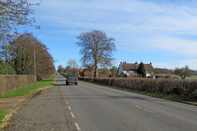
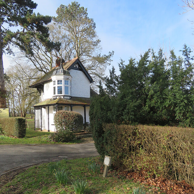
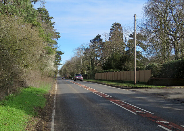
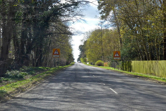
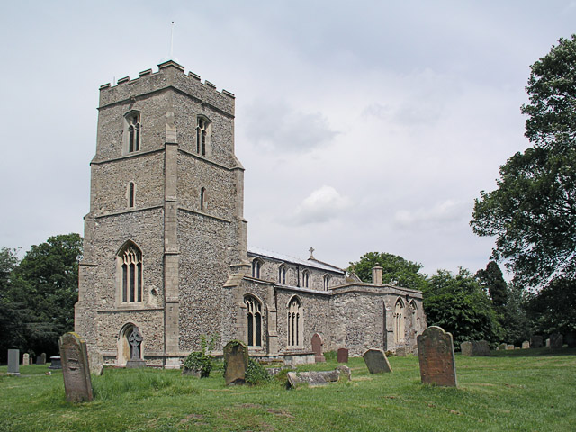
Bungalow Wood Images
Images are sourced within 2km of 52.198599/0.32650711 or Grid Reference TL5958. Thanks to Geograph Open Source API. All images are credited.
Bungalow Wood is located at Grid Ref: TL5958 (Lat: 52.198599, Lng: 0.32650711)
Administrative County: Cambridgeshire
District: East Cambridgeshire
Police Authority: Cambridgeshire
What 3 Words
///flask.graph.bulldozer. Near Bottisham, Cambridgeshire
Nearby Locations
Related Wikis

Six Mile Bottom
Six Mile Bottom is a hamlet within the parish of Little Wilbraham, near Cambridge in England. == History == In the 1790s the only building at Six Mile...

Six Mile Bottom railway station
Six Mile Bottom railway station is a disused railway station on the Ipswich to Cambridge line between Dullingham and Fulbourn. It served the village of...

Dullingham railway station
Dullingham is a railway station that serves the village of Dullingham in Cambridgeshire, England. It is about 1 mile (1.6 km) north-west of the centre...

Westley Waterless
Westley Waterless is a small village and civil parish in East Cambridgeshire, England, 5 miles south west of Newmarket. == History == The parish of Westley...
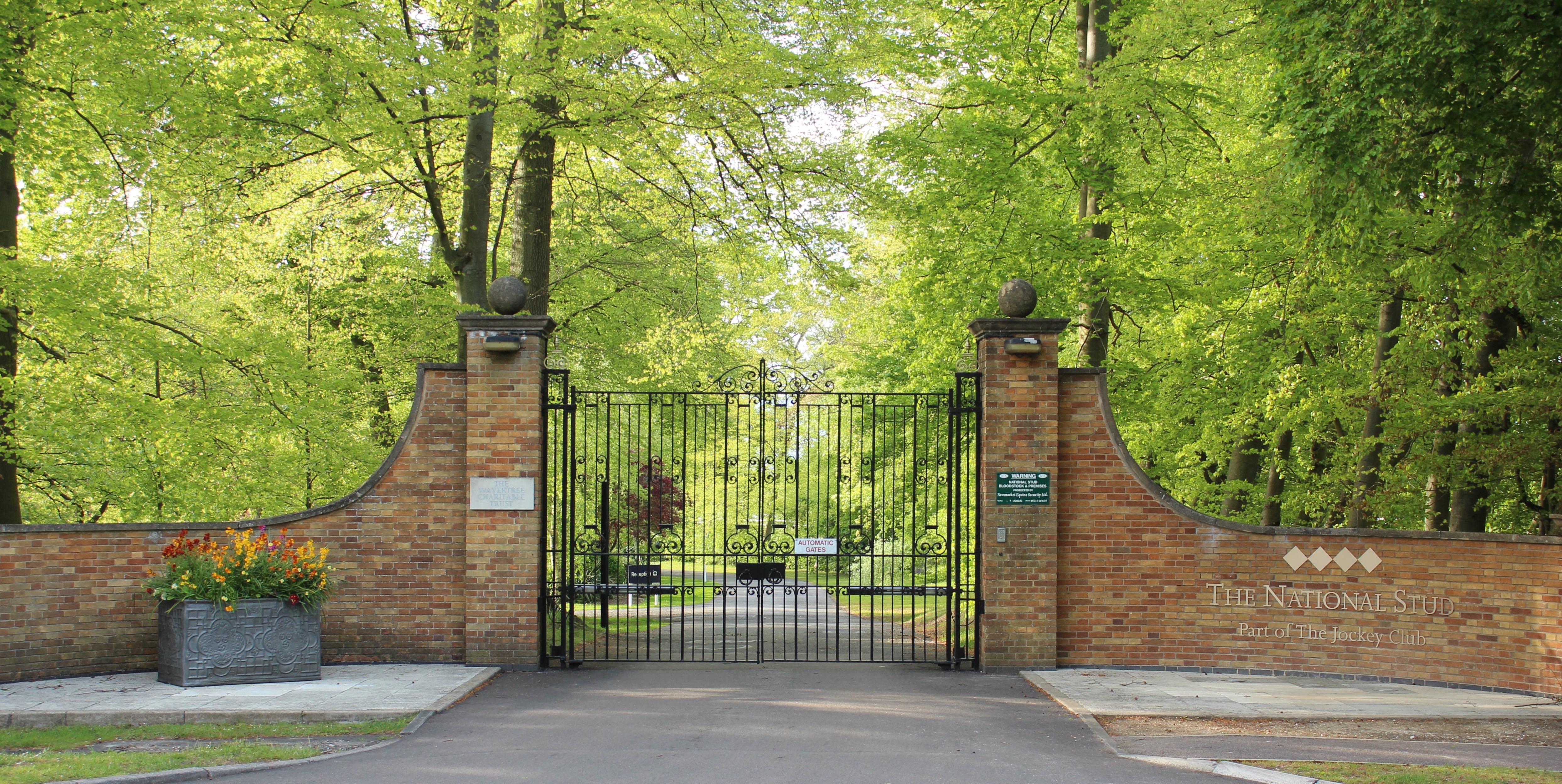
The National Stud
The National Stud is a United Kingdom Thoroughbred horse breeding farm located two miles from Newmarket. The Stud originated in 1916 as a result of a gift...
Dullingham
Dullingham is a small village and civil parish in East Cambridgeshire, England. It is situated 4 miles (6 km) south of Newmarket and 14 miles (23 km) east...

Great Wilbraham
Great Wilbraham is a small village situated in a rural area some seven miles (11 km) to the east of Cambridge, between the edge of an area of low-lying...
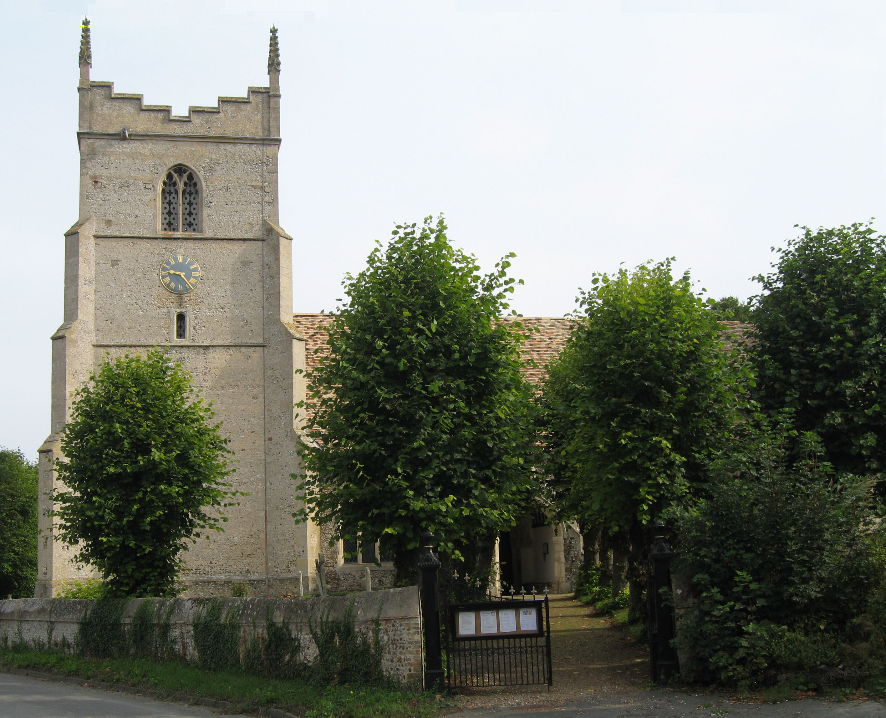
Great Wilbraham Preceptory
Great Wilbraham Preceptory is a preceptory in Great and Little Wilbraham, Cambridgeshire. Much of the Church of Saint Nicholas at Great Wilbraham dates...
Nearby Amenities
Located within 500m of 52.198599,0.32650711Have you been to Bungalow Wood?
Leave your review of Bungalow Wood below (or comments, questions and feedback).