Mace Wood

Wood, Forest in Kent Sevenoaks

England

Mace Wood

Wises Lane
Wises Lane Credit: N Chadwick

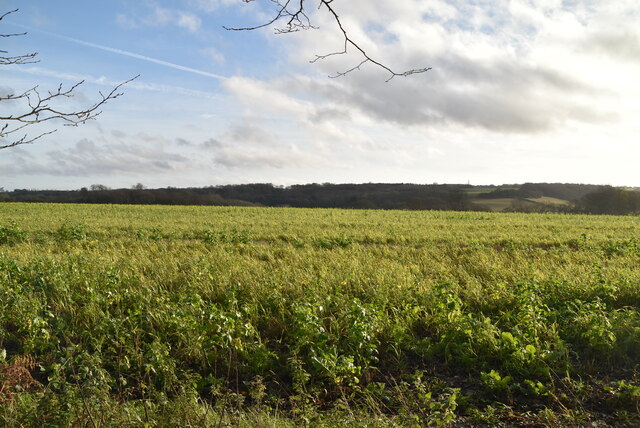
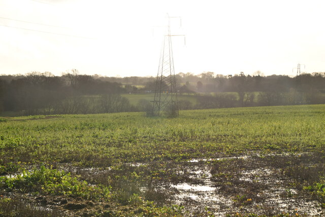
Mace Wood, located in Kent, England, is a stunning forest characterized by its rich biodiversity and tranquil atmosphere. The wood covers an area of approximately 500 acres and is renowned for its natural beauty and historical significance. It forms part of the larger Blean Woods, which is a Site of Special Scientific Interest (SSSI) due to its unique ecosystem.

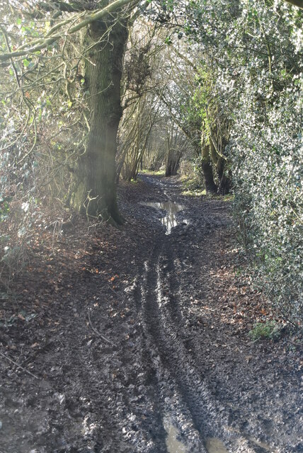
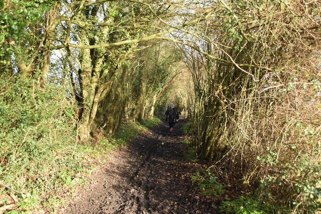
The forest is predominantly composed of broadleaf trees, including oak, beech, and chestnut, which create a dense and vibrant canopy. This habitat provides a haven for a wide range of flora and fauna, making Mace Wood a popular destination for nature enthusiasts and wildlife lovers. The forest floor is adorned with an array of wildflowers, ferns, and mosses, creating a picturesque landscape that changes with the seasons.

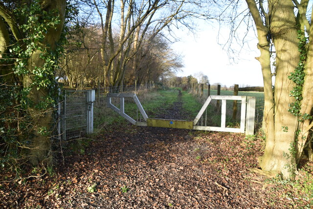
Mace Wood also boasts a network of well-maintained walking trails that offer visitors the opportunity to explore its diverse surroundings. These paths wind through the forest, allowing hikers to discover hidden glades, babbling brooks, and charming wildlife habitats. The wood is home to a variety of bird species, including woodpeckers, owls, and warblers, making it a paradise for birdwatchers.

In addition to its natural beauty, Mace Wood has historical significance as it was once used as a hunting ground by the Tudor monarchs. The remnants of ancient hunting lodges and stone enclosures can still be found within the forest, serving as a reminder of its past.

Overall, Mace Wood is a captivating destination that offers a harmonious blend of natural splendor and historical intrigue. Its serene ambiance and breathtaking scenery make it a must-visit location for anyone seeking to immerse themselves in the beauty of Kent's countryside.

If you have any feedback on the listing, please let us know in the comments section below.
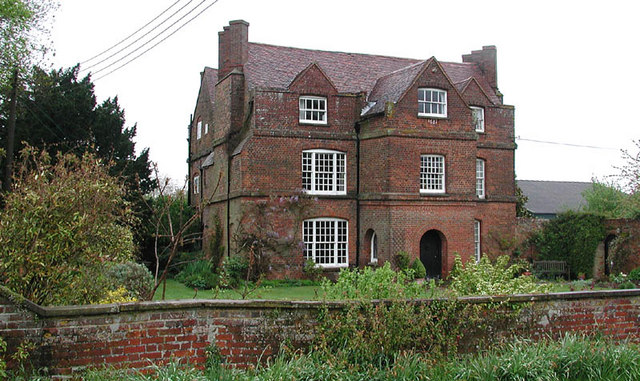
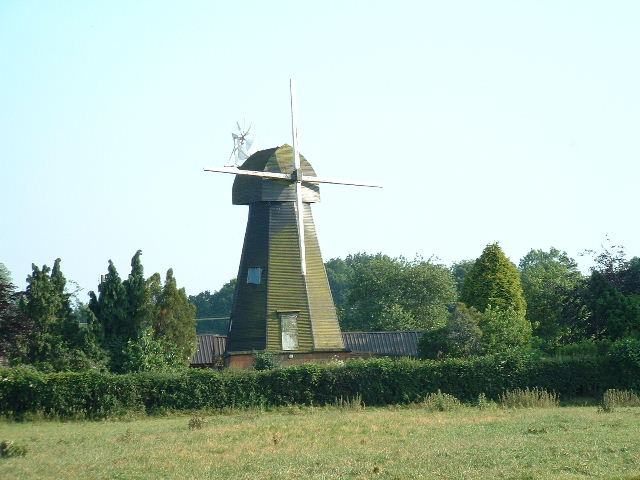
Mace Wood Images

Images are sourced within 2km of 51.348541/0.28255457 or Grid Reference TQ5963. Thanks to Geograph Open Source API. All images are credited.

Wises Lane
Wises Lane
Barrier, Wises Lane
Barrier, Wises Lane
Wises Lane
Wises Lane
Arable field
Arable field
Pylon in a field
Pylon in a field
Edward VII postbox, Old Post Office, Stansted Postbox No. DA15 235.
See <a href="https://www.geograph.org.uk/photo/7215688">TQ6062 : Old Post Office, Stansted</a> for context.
Edward VII postbox, Old Post Office, Stansted
Postbox No. DA15 235. See TQ6062 : Old Post Office, Stansted for context.
Old Post Office, Stansted Showing position of Postbox No. TN15 235.
See <a href="https://www.geograph.org.uk/photo/7215687">TQ6062 : Edward VII postbox, Old Post Office, Stansted</a> for postbox
Old Post Office, Stansted
Showing position of Postbox No. TN15 235. See TQ6062 : Edward VII postbox, Old Post Office, Stansted for postbox
The Anchor and Hope The Anchor and Hope public house is the most prominent feature of this square, which otherwise mostly contains rural fields and a farm.
The Anchor and Hope
The Anchor and Hope public house is the most prominent feature of this square, which otherwise mostly contains rural fields and a farm.
Cottages and Fingerpost,  Ash On the corner of the lane to Ridley, which is pointed out by an unusual cast-iron fingerpost.
Cottages and Fingerpost, Ash
On the corner of the lane to Ridley, which is pointed out by an unusual cast-iron fingerpost.
St Peter & St Paul, Ash (nr Wrotham), Kent
St Peter & St Paul, Ash (nr Wrotham), Kent - Chancel
St Peter & St Paul, Ash (nr Wrotham), Kent - Font
House, Ash (nr Wrotham), Kent Next to St Peter & St Paul, Ash
House, Ash (nr Wrotham), Kent
Next to St Peter & St Paul, Ash
Meeting of uncertain paths (Wise's Lane) The map shows several paths meeting at this point, but their status is unclear. The main track running ahead here is called Wise's Lane, and is shown on both Landranger and Explorer maps as a byway, but is signed as a bridleway (no vehicles permitted) on the ground.  The track from the left is shown as a byway on Explorer, a bridleway on the Landranger but only as a footpath on the ground (locked gates ensuring that horses could certainly not use it).  The two paths coming in from the right are certainly only footpaths.
Meeting of uncertain paths (Wise's Lane)
The map shows several paths meeting at this point, but their status is unclear. The main track running ahead here is called Wise's Lane, and is shown on both Landranger and Explorer maps as a byway, but is signed as a bridleway (no vehicles permitted) on the ground. The track from the left is shown as a byway on Explorer, a bridleway on the Landranger but only as a footpath on the ground (locked gates ensuring that horses could certainly not use it). The two paths coming in from the right are certainly only footpaths.
Rumney Farm Some of the farm buildings at Rumney Farm seen from the south, across just part of a very large and flinty field.
Rumney Farm
Some of the farm buildings at Rumney Farm seen from the south, across just part of a very large and flinty field.
Pylons across the fields
Lone trees Several lone trees dot this very large agricultural field - possibly marking the lines of long-lost boundaries.
Lone trees
Several lone trees dot this very large agricultural field - possibly marking the lines of long-lost boundaries.
Parsons Lane, Stansted The Old Rectory is down this lane, hence the name, presumably.  The property in the picture is called the Old Farmhouse.
Parsons Lane, Stansted
The Old Rectory is down this lane, hence the name, presumably. The property in the picture is called the Old Farmhouse.
Show me another place!

Mace Wood is located at Grid Ref: TQ5963 (Lat: 51.348541, Lng: 0.28255457)

Administrative County: Kent

District: Sevenoaks

Police Authority: Kent

What 3 Words

///palace.coffee.cherry. Near West Kingsdown, Kent

Nearby Locations

Mace Wood South Ash Manor

Related Wikis

London Golf Club

The London Golf Club is a privately owned golf course located in the village of Ash, Kent, approximately 20 miles southeast of London. == History == The...

Ash, Sevenoaks District

Ash is a small village and former civil parish located in the Sevenoaks district in Kent. It shares the parish of Ash-cum-Ridley with the nearby village...

West Kingsdown Windmill

West Kingsdown Windmill is a Grade II listed smock mill in West Kingsdown, Kent, England, that was built in the early nineteenth century at Farningham...

Brands Hatch

Brands Hatch is a motor racing circuit in West Kingsdown, Kent, England, United Kingdom. Originally used as a grasstrack motorcycle circuit on farmland...

Ash-cum-Ridley

Ash-cum-Ridley is a civil parish in the Sevenoaks district of Kent, England. According to the 2001 census the parish had a population of 7,070, reducing...

West Kingsdown

West Kingsdown is a village and civil parish in the Sevenoaks district of Kent, England, on the A20 5 miles (8 km) southeast of Swanley, 5.5 miles (9 km...

Fawkham

Fawkham is a village and civil parish in the Sevenoaks District of Kent, England. Fawkham is defined as a hamlet by Sevenoaks District Council, with a...

Fawkham Green

Fawkham Green see Fawkham == External links == Parish church

Nearby Amenities

Located within 500m of 51.348541,0.28255457
Golf: pin
Lat/Long: 51.3485114/0.2835102
Golf: pin
Lat/Long: 51.3474304/0.2788724
Golf: pin
Lat/Long: 51.3447947/0.2819227
Golf: pin
Lat/Long: 51.3473604/0.2821281
Golf: pin
Lat/Long: 51.3456942/0.2873163
The data included in this document is from www.openstreetmap.org. The data is made available under ODbL.

Have you been to Mace Wood?

Leave your review of Mace Wood below (or comments, questions and feedback).