Chase Wood
Wood, Forest in Sussex Wealden
England
Chase Wood
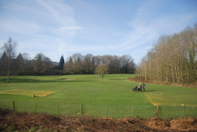
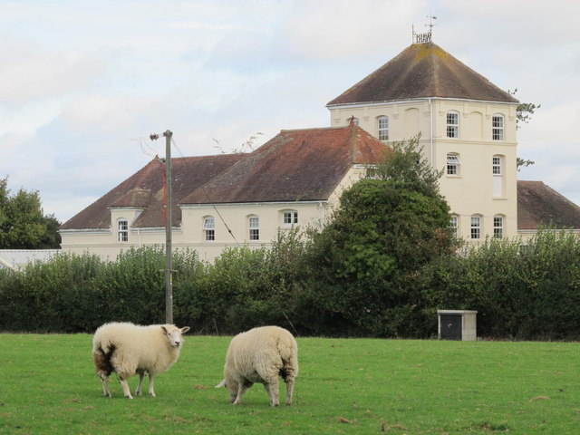
Chase Wood, Sussex, also known as Wood or Forest, is a sprawling woodland area located in the county of Sussex, England. Covering an area of approximately 200 hectares, it is renowned for its natural beauty and diverse flora and fauna.
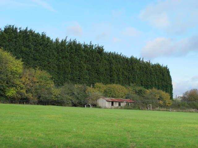
The wood is primarily composed of a mix of broadleaf and coniferous trees, including oak, beech, pine, and birch. These towering trees create a dense canopy, providing a habitat for a wide range of wildlife. Visitors to the wood may spot deer, foxes, badgers, and a variety of bird species.
Chase Wood offers a range of recreational activities for nature enthusiasts and outdoor adventurers. There are numerous walking trails that wind through the woodland, allowing visitors to explore its hidden corners and discover its natural wonders. These trails are well-maintained and suited for all fitness levels.
Picnic areas and designated camping spots are available for those who wish to spend more time immersing themselves in the tranquility of the wood. Additionally, the wood offers opportunities for wildlife photography and birdwatching, with several observation points strategically located throughout the area.
Chase Wood is easily accessible, with ample parking facilities and clear signposting. It is a popular destination for locals and tourists alike, particularly during the spring and summer months when the woodland is ablaze with colorful wildflowers and teeming with life.
In summary, Chase Wood, Sussex is a picturesque woodland area known for its diverse vegetation, abundant wildlife, and recreational opportunities. It is a haven for nature lovers seeking solace and a chance to connect with the natural world.
If you have any feedback on the listing, please let us know in the comments section below.
Chase Wood Images
Images are sourced within 2km of 51.104086/0.26894701 or Grid Reference TQ5836. Thanks to Geograph Open Source API. All images are credited.


Chase Wood is located at Grid Ref: TQ5836 (Lat: 51.104086, Lng: 0.26894701)
Administrative County: East Sussex
District: Wealden
Police Authority: Sussex
What 3 Words
///gave.solid.blur. Near Royal Tunbridge Wells, Kent
Nearby Locations
Related Wikis

St Alban's Church, Frant
St Alban's Church is a Church of England parish church in Frant, East Sussex, England. It was built in 1819–22 in a fifteenth-century gothic revival style...

Frant
Frant is a village and civil parish in the Wealden District of East Sussex, England, on the Kentish border about three miles (5 km) south of Royal Tunbridge...

Kent and Sussex Crematorium and Cemetery
The Kent and Sussex Crematorium and Cemetery is a crematorium and cemetery located in Royal Tunbridge Wells in the county of Kent, England. == Background... ==
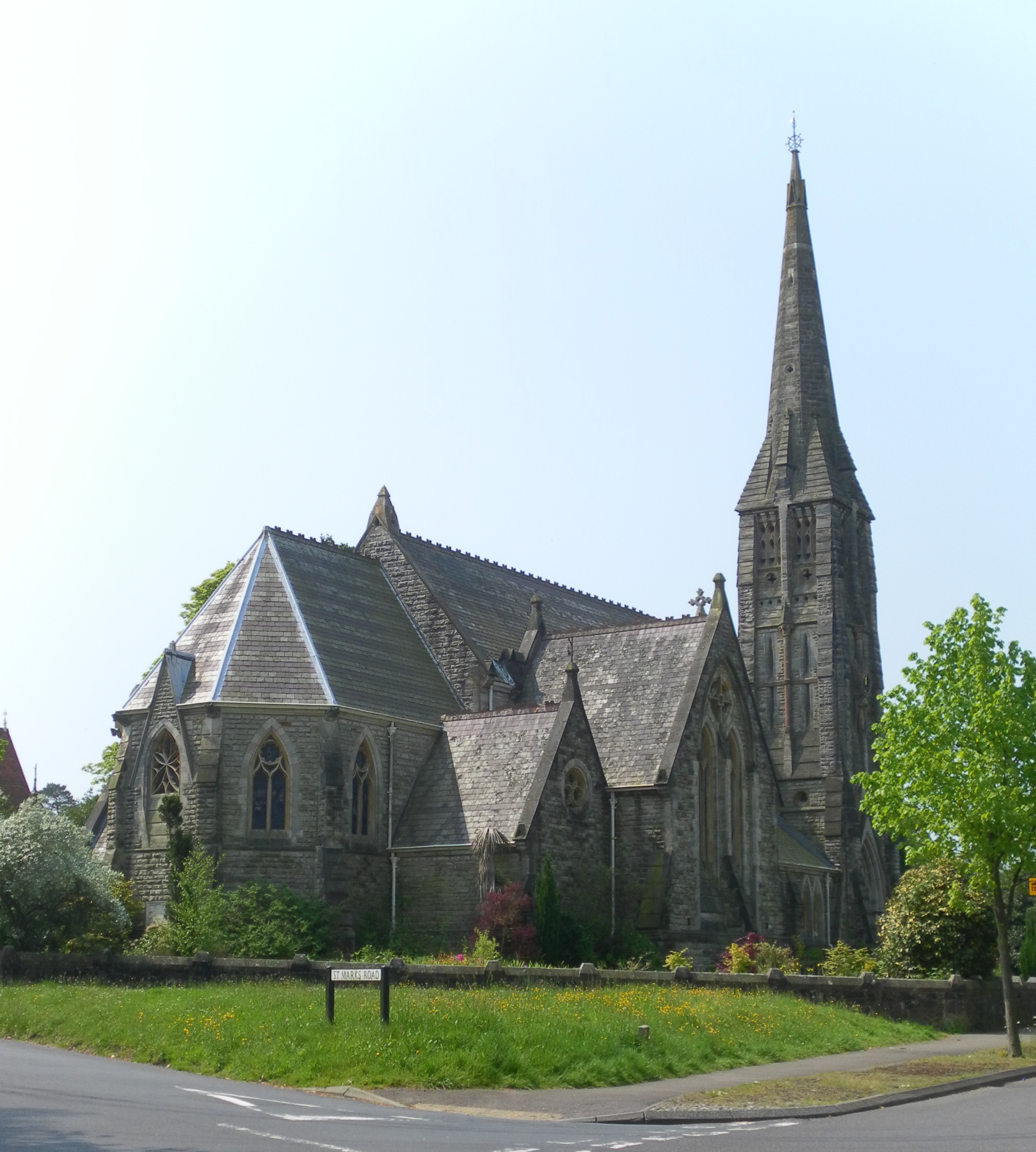
St Mark's Church, Royal Tunbridge Wells
St. Mark's Church is the Church of England parish church for the Broadwater Down area of Royal Tunbridge Wells, Kent, England, in the Diocese of Rochester...

Frant railway station
Frant railway station is on the Hastings line in East Sussex, England, and serves the civil parish of Frant (although the station is actually located some...

Nevill Ground
The Nevill Ground is a cricket ground at Royal Tunbridge Wells in the English county of Kent. It is owned by Tunbridge Wells Borough Council and is used...

Hawkenbury, Tunbridge Wells
Hawkenbury is a small village area located in the south east of Royal Tunbridge Wells, Kent, England. == History == Hawkenbury was settled before Tunbridge...

Eridge Park
Eridge Park () is a village and historic park located north of the parish of Rotherfield, to the north-east of Crowborough in East Sussex, England. The...
Nearby Amenities
Located within 500m of 51.104086,0.26894701Have you been to Chase Wood?
Leave your review of Chase Wood below (or comments, questions and feedback).