Bridge Belt

Wood, Forest in Cambridgeshire East Cambridgeshire

England

Bridge Belt

Empty pub in Six Mile Bottom The old Green Man is up for sale, but will it be a pub?
Empty pub in Six Mile Bottom Credit: David Howard

Bridge Belt is a picturesque woodland area located in the county of Cambridgeshire, England. Situated within close proximity to the town of Cambridge, this forested region offers a tranquil and idyllic escape from the bustling city life.

Covering an area of approximately 100 hectares, Bridge Belt is predominantly composed of dense woodland, characterized by a variety of tree species such as oak, beech, and pine. The forest floor is adorned with a rich carpet of moss, ferns, and wildflowers, creating a vibrant and diverse ecosystem.

The woodland is intersected by a meandering river, which adds to the natural beauty of the area. The river is home to a range of wildlife species, including herons, ducks, and occasionally, otters. The peaceful sound of the flowing water and the gentle rustle of leaves make Bridge Belt an ideal spot for nature enthusiasts and those seeking solace in the great outdoors.

The forest offers a network of well-maintained trails and footpaths, allowing visitors to explore the area at their own pace. These paths lead to several viewpoints, providing stunning vistas of the surrounding countryside and the nearby villages.

Bridge Belt is also a popular destination for recreational activities such as hiking, cycling, and birdwatching. The forest attracts a diverse range of bird species, making it a haven for avid birdwatchers. Additionally, the woodland is home to a variety of small mammals, including squirrels, rabbits, and deer.

Overall, Bridge Belt in Cambridgeshire offers a serene and tranquil woodland experience, making it a must-visit destination for nature lovers and those seeking respite from the urban environment.

If you have any feedback on the listing, please let us know in the comments section below.
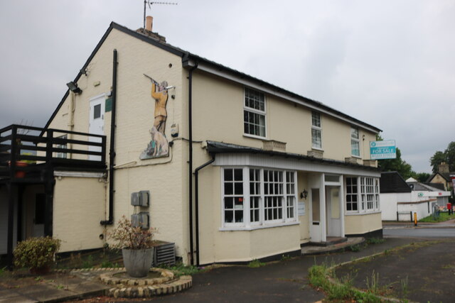
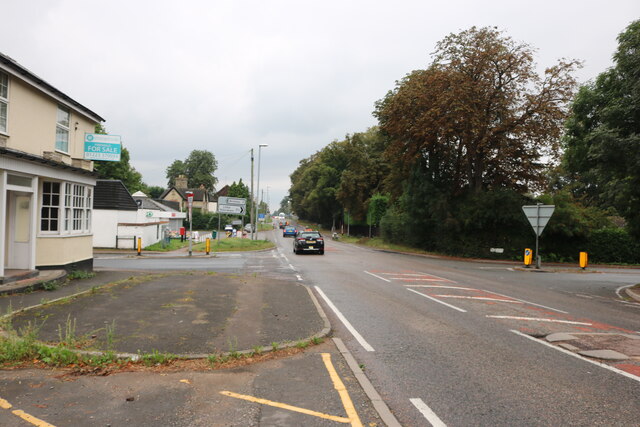
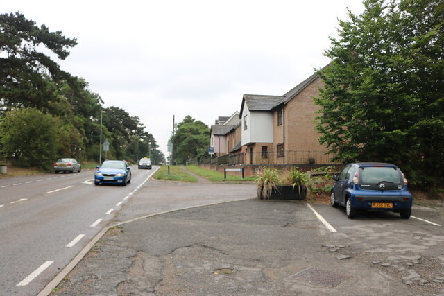
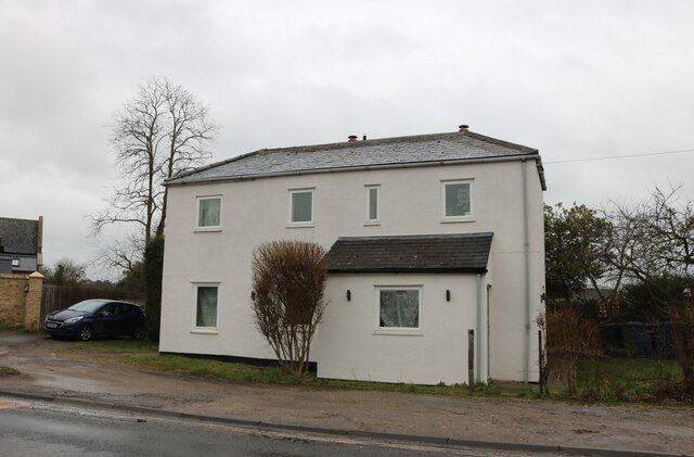
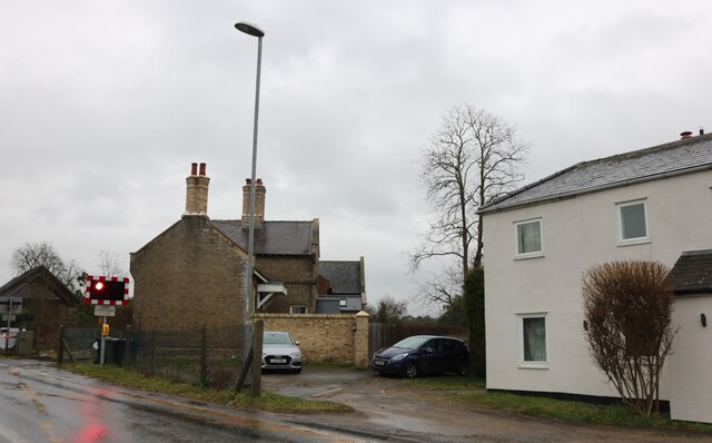
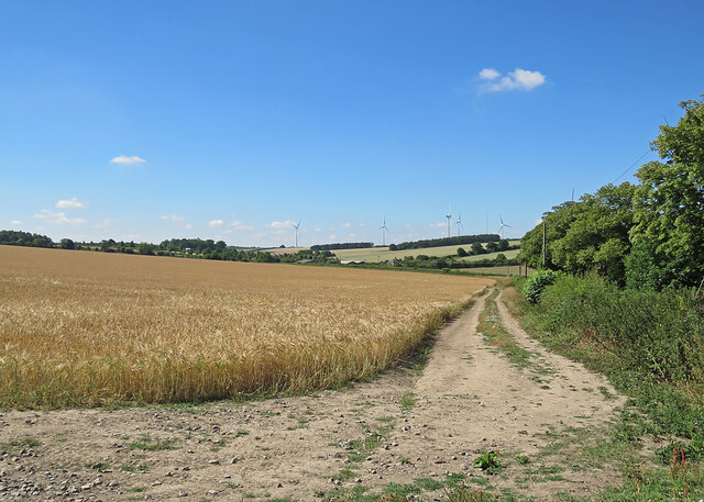
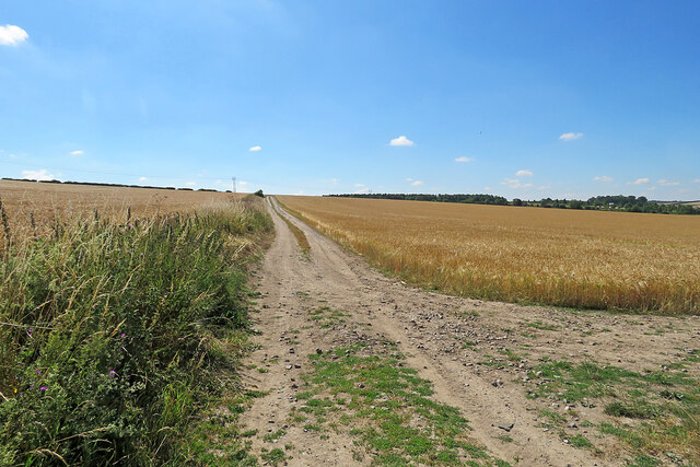
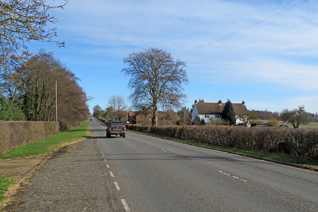
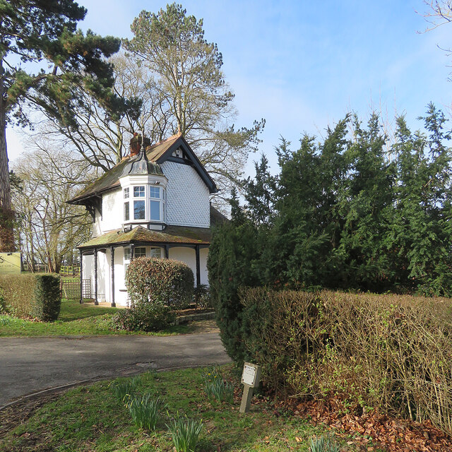
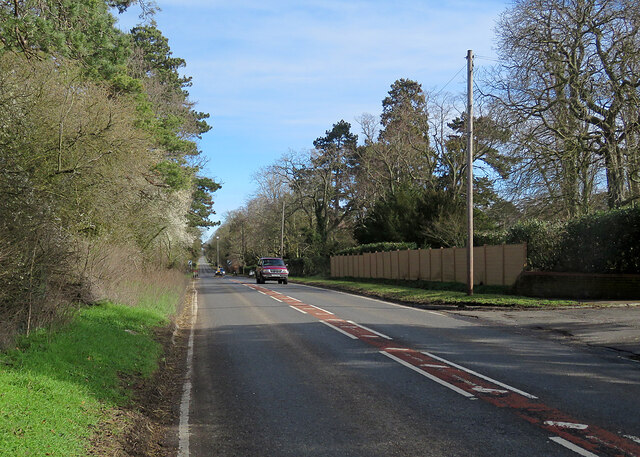
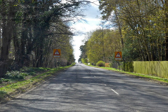
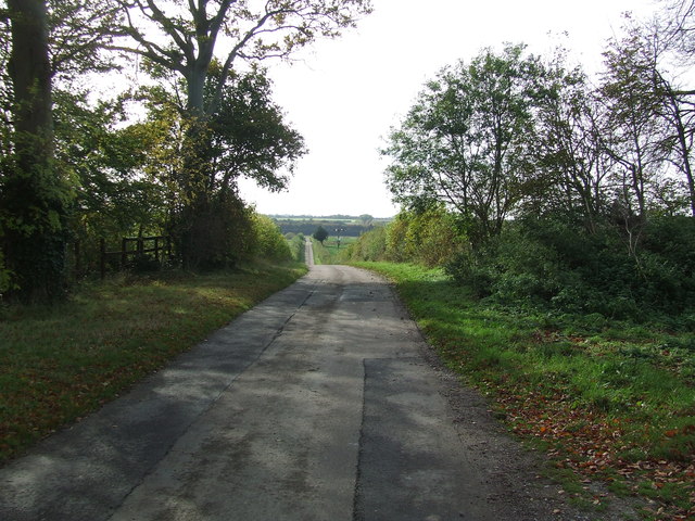
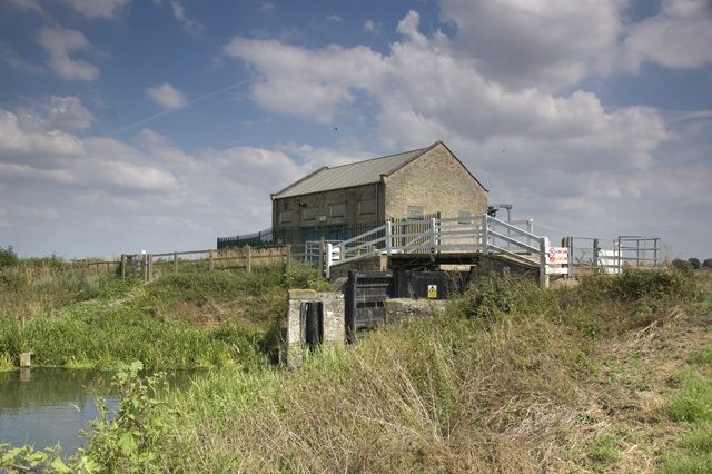
Bridge Belt Images

Images are sourced within 2km of 52.179867/0.32250118 or Grid Reference TL5856. Thanks to Geograph Open Source API. All images are credited.

Empty pub in Six Mile Bottom The old Green Man is up for sale, but will it be a pub?
Empty pub in Six Mile Bottom
The old Green Man is up for sale, but will it be a pub?
London Road, Six Mile Bottom By the closed Green Man pub.
London Road, Six Mile Bottom
By the closed Green Man pub.
London Road, Six Mile Bottom
House on London Road, Six Mile Bottom
Houses on London Road, Six Mile Bottom By the level crossing
Houses on London Road, Six Mile Bottom
By the level crossing
The road to Six Mile Bottom This is the road from West Wratting to Six Mile Bottom, near Lark Hall. The signpost on the right points along a path which cuts a corner and leads to the Weston Colville road (see <a href="https://www.geograph.org.uk/photo/7221136">TL5854 : Footpath through barley</a>).
The road to Six Mile Bottom
This is the road from West Wratting to Six Mile Bottom, near Lark Hall. The signpost on the right points along a path which cuts a corner and leads to the Weston Colville road (see TL5854 : Footpath through barley).
Barley and turbines Looking towards Lark Hall Corner and, on the skyline, some of the turbines of Wadlow Wind Farm on a fine July morning.
Barley and turbines
Looking towards Lark Hall Corner and, on the skyline, some of the turbines of Wadlow Wind Farm on a fine July morning.
Footpath through barley The start, near Lark Hall, of a path which follows a farm track, cutting a corner and leading to the Weston Colville road.
Footpath through barley
The start, near Lark Hall, of a path which follows a farm track, cutting a corner and leading to the Weston Colville road.
On the way to Newmarket The A1304 north-east of Six Mile Bottom.
On the way to Newmarket
The A1304 north-east of Six Mile Bottom.
Six Mile Bottom: The Lodge at Swynford Manor A tile-hung Victorian lodge cottage with a delicate cupola.
Six Mile Bottom: The Lodge at Swynford Manor
A tile-hung Victorian lodge cottage with a delicate cupola.
Six Mile Bottom: London Road The A1304 is the last stretch of the journey from London to Newmarket (ahead) via the M11 and A11.
Six Mile Bottom: London Road
The A1304 is the last stretch of the journey from London to Newmarket (ahead) via the M11 and A11.
A1304 London Road entering Six Mile Bottom The former route of the A11 through Newmarket.
A1304 London Road entering Six Mile Bottom
The former route of the A11 through Newmarket.
Westley Bottom Road Westley Bottom Road looking north east near to Westley Waterless, Cambridgeshire.
Westley Bottom Road
Westley Bottom Road looking north east near to Westley Waterless, Cambridgeshire.
Leading To Partridge Hall Track leading to Partridge Hall near to Westley Waterless, Cambridgeshire.
Leading To Partridge Hall
Track leading to Partridge Hall near to Westley Waterless, Cambridgeshire.
Crossroads Signs Crossroads road signs near to Westley Waterless, Cambridgeshire.
Crossroads Signs
Crossroads road signs near to Westley Waterless, Cambridgeshire.
Country Road Country road near to Westley Waterless, Cambridgeshire.
Country Road
Country road near to Westley Waterless, Cambridgeshire.
Small Footbridge Small footbridge near to Weston Colville, Cambridgeshire.
Small Footbridge
Small footbridge near to Weston Colville, Cambridgeshire.
Near Chalk Pit Farm A bright February morning on the Six Mile Bottom to Brinkley road, near the crossroads (left to Dullingham, right to Weston Colville).
Near Chalk Pit Farm
A bright February morning on the Six Mile Bottom to Brinkley road, near the crossroads (left to Dullingham, right to Weston Colville).
Show me another place!

Bridge Belt is located at Grid Ref: TL5856 (Lat: 52.179867, Lng: 0.32250118)

Administrative County: Cambridgeshire

District: East Cambridgeshire

Police Authority: Cambridgeshire

What 3 Words

///invested.globe.convinces. Near Balsham, Cambridgeshire

Nearby Locations

Bridge Belt

Related Wikis

Six Mile Bottom railway station

Six Mile Bottom railway station is a disused railway station on the Ipswich to Cambridge line between Dullingham and Fulbourn. It served the village of...

Six Mile Bottom

Six Mile Bottom is a hamlet within the parish of Little Wilbraham, near Cambridge in England. == History == In the 1790s the only building at Six Mile...

Westley Waterless

Westley Waterless is a small village and civil parish in East Cambridgeshire, England, 5 miles south west of Newmarket. == History == The parish of Westley...

Cambridgeshire Lodes

The Cambridgeshire Lodes are a series of man-made waterways, believed to be Roman in origin, located in the county of Cambridgeshire, England. Bottisham...

Dullingham railway station

Dullingham is a railway station that serves the village of Dullingham in Cambridgeshire, England. It is about 1 mile (1.6 km) north-west of the centre...

Weston Colville

Weston Colville is a village in South Cambridgeshire, 10 miles southeast of Cambridge and 6 miles south of Newmarket, close to the border with Suffolk...

Shug Monkey

In the folklore of Cambridgeshire, the Shug Monkey is a creature that shares features of a dog and monkey, which reportedly haunted Slough Hill Lane (a...

West Wratting

West Wratting is a village and civil parish 10 miles southeast of Cambridge in Cambridgeshire. At 390 feet (120 m) above sea level, it can claim to be...

Related Videos

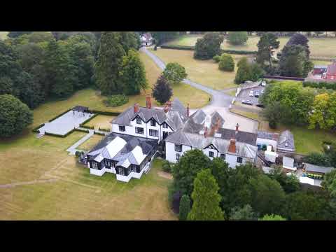
Swynford Manor #swynfordmanor #droneservices #wedding #weddings #aerialvideography #fyp #subscribe

The beautiful Swynford Manor wedding venue in Cambridge Planning for your big day? Need a drone pilot for aerial videography ...

"We've Grown Up Together, Now We'll Grow Old Together" | Swynford Manor Wedding

The beautiful cinematic wedding highlights film from Annabel & Ross' wedding day at the Swynford Manor wedding venue.

swynford manor wedding videographer

Swynford Manor wedding videographer Rosewood wedding films, Created this wedding short film for Marie & Ant.

Nearby Amenities

Located within 500m of 52.179867,0.32250118
Power: pole
Lat/Long: 52.181142/0.3211675
Power: pole
Lat/Long: 52.1763328/0.32091
Power: pole
Lat/Long: 52.1787079/0.320792
Power: pole
Lat/Long: 52.1775499/0.3208671
Power: pole
Lat/Long: 52.1799184/0.3208027
Power: pole
Lat/Long: 52.1800291/0.3208357
Power: pole
Lat/Long: 52.179623/0.3214096
Power: pole
Lat/Long: 52.1811227/0.3192701
Power: pole
Lat/Long: 52.1832284/0.3218552
Power: pole
Lat/Long: 52.1791097/0.322107
Power: pole
Lat/Long: 52.1805888/0.3200677
Power: pole
Lat/Long: 52.1841099/0.3221556
Power: pole
Lat/Long: 52.1821112/0.3215636
Power: pole
Lat/Long: 52.1773269/0.3256039
Power: pole
Lat/Long: 52.1781822/0.3237264
Power: pole
Lat/Long: 52.17858/0.3228734
Power: pole
Lat/Long: 52.1777873/0.3246169
Power: pole
Lat/Long: 52.1820184/0.3176871
Power: pole
Lat/Long: 52.1815685/0.3184972
Power: pole
Lat/Long: 52.1824784/0.3168187
The data included in this document is from www.openstreetmap.org. The data is made available under ODbL.

Have you been to Bridge Belt?

Leave your review of Bridge Belt below (or comments, questions and feedback).