Chestnut Plantation

Wood, Forest in Sussex Wealden

England

Chestnut Plantation

Mayfield Rd (A267) The A267 road is a 21 mile long road from Tunbridge Wells <a href="https://www.geograph.org.uk/photo/6669020">TQ5838 : A26, A267 junction</a> to Horsebridge.
Website: <span class="nowrap"><a title="http://www.sabre-roads.org.uk/wiki/index.php?title=A267" rel="nofollow ugc noopener" href="http://www.sabre-roads.org.uk/wiki/index.php?title=A267">Link</a><img style="margin-left:2px;" alt="External link" title="External link - shift click to open in new window" src="https://s1.geograph.org.uk/img/external.png" width="10" height="10"/></span>
Mayfield Rd (A267) Credit: N Chadwick

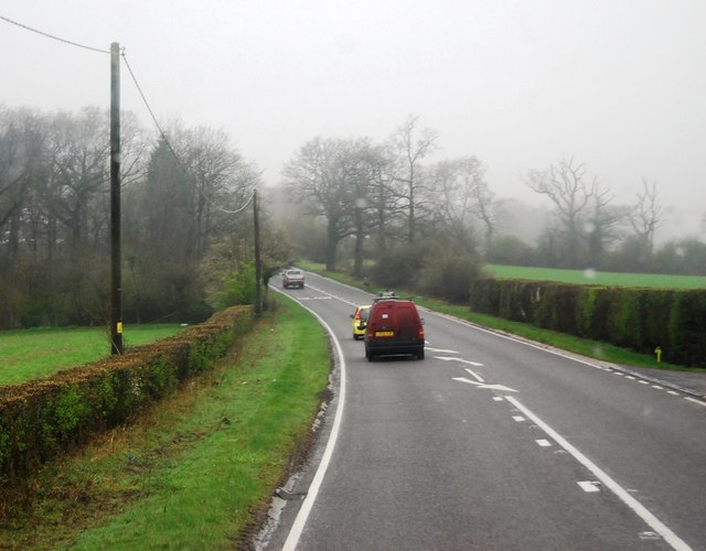
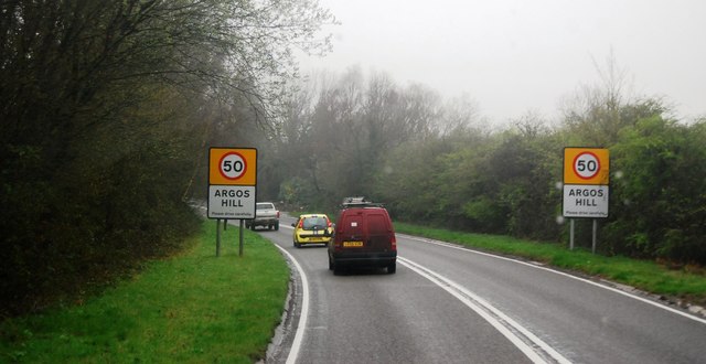
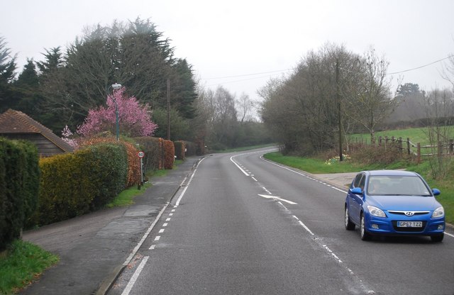
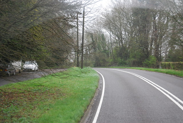
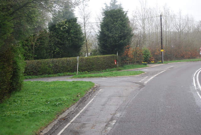
Chestnut Plantation is a scenic woodland located in Sussex, England. Spread over a vast area, it is known for its dense chestnut tree population, lending the plantation its name. The woodland is a part of the larger Sussex Forest, which encompasses several other plantations and natural reserves.

The plantation offers a serene and picturesque environment for nature enthusiasts and hikers alike. It boasts an extensive network of well-maintained trails, allowing visitors to explore the woodland at their own pace. The paths wind through the towering chestnut trees, creating a magical atmosphere that is perfect for a leisurely stroll or a challenging hike.

The diverse flora and fauna found in Chestnut Plantation make it an ideal spot for wildlife enthusiasts. The woodland is home to various species of birds, including woodpeckers, owls, and songbirds, making it a haven for birdwatchers. Additionally, the plantation is inhabited by an array of small mammals, such as squirrels and rabbits, which can often be spotted darting through the undergrowth.

Chestnut Plantation also serves as an important habitat for a variety of plant species. In addition to the dominant chestnut trees, the woodland is adorned with a colorful carpet of wildflowers during the spring and summer months. Bluebells, primroses, and violets are just a few examples of the vibrant flora that can be found in abundance.

Overall, Chestnut Plantation is a must-visit destination for those seeking tranquility and a connection with nature. Its rich biodiversity, well-maintained trails, and breathtaking scenery make it a true gem within the Sussex Forest.

If you have any feedback on the listing, please let us know in the comments section below.

Chestnut Plantation Images

Images are sourced within 2km of 51.051082/0.26174634 or Grid Reference TQ5830. Thanks to Geograph Open Source API. All images are credited.

Mayfield Rd (A267) The A267 road is a 21 mile long road from Tunbridge Wells <a href="https://www.geograph.org.uk/photo/6669020">TQ5838 : A26, A267 junction</a> to Horsebridge.
Website: <span class="nowrap"><a title="http://www.sabre-roads.org.uk/wiki/index.php?title=A267" rel="nofollow ugc noopener" href="http://www.sabre-roads.org.uk/wiki/index.php?title=A267">Link</a><img style="margin-left:2px;" alt="External link" title="External link - shift click to open in new window" src="https://s1.geograph.org.uk/img/external.png" width="10" height="10"/></span>
Mayfield Rd (A267)
The A267 road is a 21 mile long road from Tunbridge Wells TQ5838 : A26, A267 junction to Horsebridge. Website: LinkExternal link
Entering Argos Hill, A267 The A267 road is a 21 mile long road from Tunbridge Wells <a href="https://www.geograph.org.uk/photo/6669020">TQ5838 : A26, A267 junction</a> to Horsebridge.
Website: <span class="nowrap"><a title="http://www.sabre-roads.org.uk/wiki/index.php?title=A267" rel="nofollow ugc noopener" href="http://www.sabre-roads.org.uk/wiki/index.php?title=A267">Link</a><img style="margin-left:2px;" alt="External link" title="External link - shift click to open in new window" src="https://s1.geograph.org.uk/img/external.png" width="10" height="10"/></span>
Entering Argos Hill, A267
The A267 road is a 21 mile long road from Tunbridge Wells TQ5838 : A26, A267 junction to Horsebridge. Website: LinkExternal link
A267, Tunbridge Wells Rd The A267 road is a 21 mile long road from Tunbridge Wells <a href="https://www.geograph.org.uk/photo/6669020">TQ5838 : A26, A267 junction</a> to Horsebridge.
Website: <span class="nowrap"><a title="http://www.sabre-roads.org.uk/wiki/index.php?title=A267" rel="nofollow ugc noopener" href="http://www.sabre-roads.org.uk/wiki/index.php?title=A267">Link</a><img style="margin-left:2px;" alt="External link" title="External link - shift click to open in new window" src="https://s1.geograph.org.uk/img/external.png" width="10" height="10"/></span>
A267, Tunbridge Wells Rd
The A267 road is a 21 mile long road from Tunbridge Wells TQ5838 : A26, A267 junction to Horsebridge. Website: LinkExternal link
Tunbridge Wells Rd (A267) The A267 road is a 21 mile long road from Tunbridge Wells <a href="https://www.geograph.org.uk/photo/6669020">TQ5838 : A26, A267 junction</a> to Horsebridge.
Website: <span class="nowrap"><a title="http://www.sabre-roads.org.uk/wiki/index.php?title=A267" rel="nofollow ugc noopener" href="http://www.sabre-roads.org.uk/wiki/index.php?title=A267">Link</a><img style="margin-left:2px;" alt="External link" title="External link - shift click to open in new window" src="https://s1.geograph.org.uk/img/external.png" width="10" height="10"/></span>
Tunbridge Wells Rd (A267)
The A267 road is a 21 mile long road from Tunbridge Wells TQ5838 : A26, A267 junction to Horsebridge. Website: LinkExternal link
Tunbridge Wells Rd, Yew Tree Rd Junction
Turn off to Great Trodgers Farm, A267
Oast House at Yew Tree Farm, Yew Tree Lane, Town Row Single round kiln oast house. Stone built walls and weatherboarded stowage.  Cowl missing.
Oast House at Yew Tree Farm, Yew Tree Lane, Town Row
Single round kiln oast house. Stone built walls and weatherboarded stowage. Cowl missing.
Footpath Mayfield & Five Ashes 32b An inviting route, but no time to investigate. The start of the path on Little Trodgers Lane has been moved somewhat north, close to the wood on the left, compared with both OS maps and the highway authority's on-line rights-of-way map.
Footpath Mayfield & Five Ashes 32b
An inviting route, but no time to investigate. The start of the path on Little Trodgers Lane has been moved somewhat north, close to the wood on the left, compared with both OS maps and the highway authority's on-line rights-of-way map.
A267 - leaving Argos Hill There was a 50 limit through the diffuse settlement.
A267 - leaving Argos Hill
There was a 50 limit through the diffuse settlement.
Sweeping bend on A267 In the distance is a sign for the right turn into Lake Street.
Sweeping bend on A267
In the distance is a sign for the right turn into Lake Street.
Countryside near Mayfield
Woodland by the path to Mayfield
Stile into the woods
Crossing a small stream
Mayfield College Grade II listed. <span class="nowrap"><a title="http://www.britishlistedbuildings.co.uk/en-435702-mayfield-college-mayfield" rel="nofollow ugc noopener" href="http://www.britishlistedbuildings.co.uk/en-435702-mayfield-college-mayfield">Link</a><img style="margin-left:2px;" alt="External link" title="External link - shift click to open in new window" src="https://s1.geograph.org.uk/img/external.png" width="10" height="10"/></span>
Mayfield College
Grade II listed. LinkExternal link
Footpath to Mayfield
Tunbridge Wells Road at the junction of Yewtree Lane
Sheep in the shade near Lakestreet Manor On the centre horizon is the former Mayfield College, a Roman Catholic boys boarding which was finally closed in 1999. A clause in the developers contract meant they could not start work until the last school occupant had died or left. Mr Walters, a lay teacher, died six years later.
Sheep in the shade near Lakestreet Manor
On the centre horizon is the former Mayfield College, a Roman Catholic boys boarding which was finally closed in 1999. A clause in the developers contract meant they could not start work until the last school occupant had died or left. Mr Walters, a lay teacher, died six years later.
Show me another place!

Chestnut Plantation is located at Grid Ref: TQ5830 (Lat: 51.051082, Lng: 0.26174634)

Administrative County: East Sussex

District: Wealden

Police Authority: Sussex

What 3 Words

///averts.hint.highly. Near Town Row, East Sussex

Related Wikis

Jameah Islameah School

Jameah Islameah School was an independent Islamic school in East Sussex. The school was located on a 54 acre site and had residential facilities to house...

St Joseph's College, Mark Cross

St Joseph's College was a Roman Catholic minor seminary in Mark Cross, outside Rotherfield in East Sussex. It was designed by Edward Pugin and the site...

Walter's Mill, Mark Cross

Walter's Mill is a tower mill at Mark Cross, Sussex, England which has been converted to residential accommodation. == History == Walter's Mill was first...

Mayfield College

Mayfield College is a defunct Roman Catholic boys' boarding school founded as the Holy Trinity Orphanage For Boys in 1865–1866 by the American-born Dowager...

Rotherfield and Mark Cross railway station

Rotherfield and Mark Cross (also Rotherfield) is the name of a closed station on the Eridge - Heathfield - Polegate railway (the Cuckoo Line) in East Sussex...

Argos Hill Mill, Mayfield

Argos Hill Mill is a grade II* listed post mill at Argos Hill, Mayfield, East Sussex, England As of 2017 it is in the process of restoration by the Argos...

Tidebrook

Tidebrook is a hamlet within the parish of Wadhurst in East Sussex, England. It is located between the villages of Mayfield and Wadhurst. The brook for...

Rotherfield

Rotherfield is a village and civil parish in the Wealden District of East Sussex, England. It is one of the largest parishes in East Sussex. There are...

Nearby Amenities

Located within 500m of 51.051082,0.26174634
Barrier: stile
Lat/Long: 51.0548378/0.2588047
Shop: butcher
Lat/Long: 51.0529363/0.2611978
Barrier: stile
Lat/Long: 51.0551868/0.2623652
Power: pole
Lat/Long: 51.0520663/0.2681941
Power: pole
Lat/Long: 51.0518673/0.2646831
Power: pole
Lat/Long: 51.0516347/0.2635753
Power: pole
Lat/Long: 51.0511221/0.2611157
Power: pole
Lat/Long: 51.0507292/0.2592167
Power: pole
Lat/Long: 51.0505151/0.2581197
Power: pole
Lat/Long: 51.0518758/0.2560329
Little Trodgers Farm
Addr City: Crowborough
Addr Hamlet: Mark Cross
Addr Postcode: TN6 3NT
Addr Street: Lake Street
Place: farm
Lat/Long: 51.0483113/0.2649969
Marlborough Head Farm
Addr City: Crowborough
Addr Postcode: TN6 3NS
Place: isolated_dwelling
Lat/Long: 51.0528065/0.2565399
Stile House Farm
Addr City: Crowborough
Addr Postcode: TN6 3NS
Place: farm
Lat/Long: 51.0498238/0.2561992
The data included in this document is from www.openstreetmap.org. The data is made available under ODbL.

Have you been to Chestnut Plantation?

Leave your review of Chestnut Plantation below (or comments, questions and feedback).