Carriage Drive Belt
Wood, Forest in Cambridgeshire East Cambridgeshire
England
Carriage Drive Belt
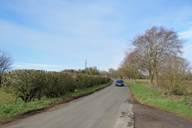
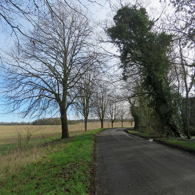
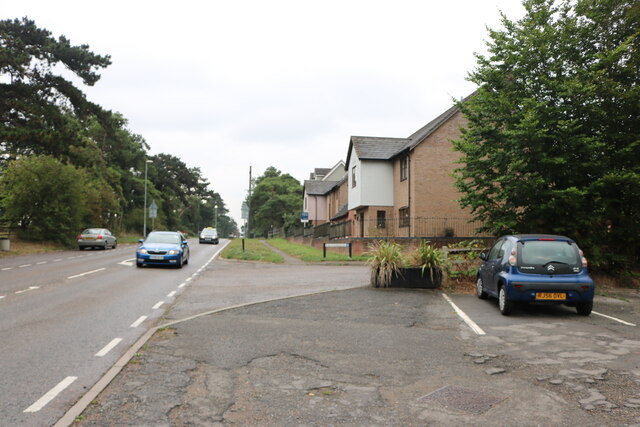
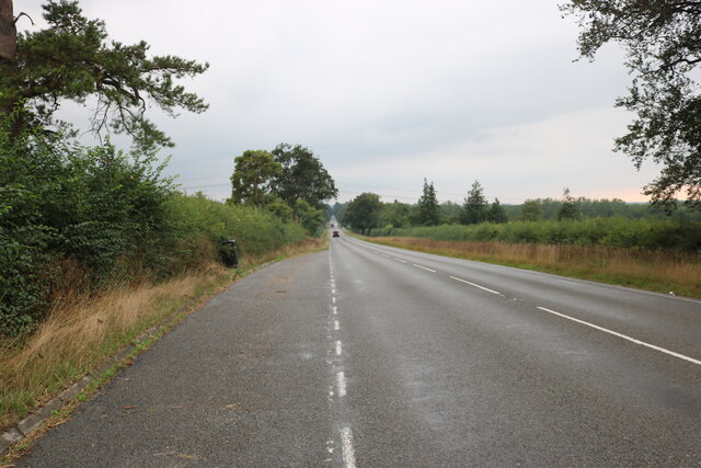
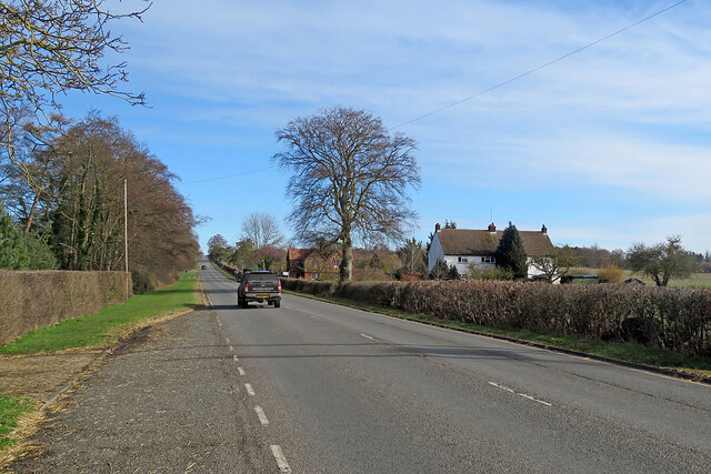
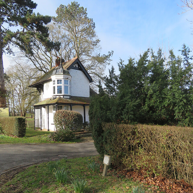
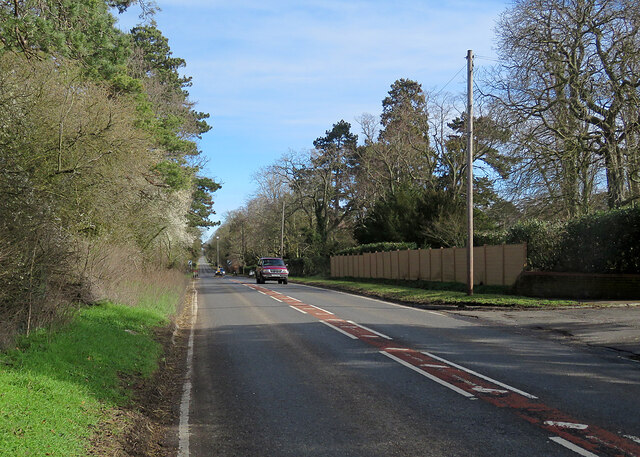
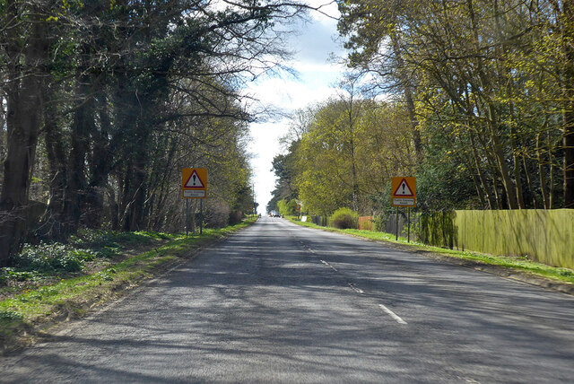
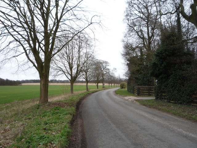
Carriage Drive Belt is a picturesque woodland area located in Cambridgeshire, England. Spread across a vast expanse, it is situated near the town of Cambridgeshire and is easily accessible by road.
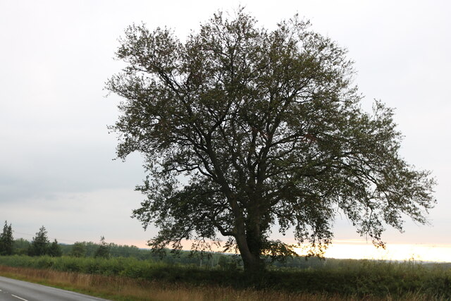
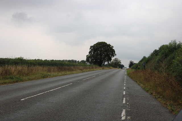
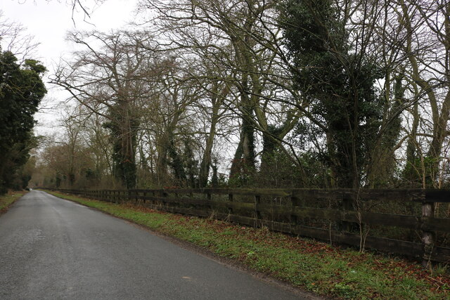
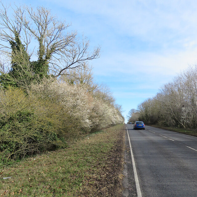
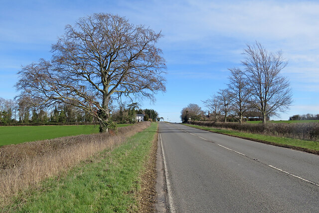
The drive belt is renowned for its pristine woodland, characterized by a dense covering of tall, majestic trees. The area is a haven for nature enthusiasts and offers a range of activities for visitors to enjoy. Walking trails meander through the woods, providing an opportunity to explore the natural beauty of the surroundings. The trails are well-maintained and suitable for all fitness levels, making it an ideal destination for families, couples, and solo travelers alike.
The woodland is home to a diverse range of flora and fauna. Native species such as oak, beech, and birch trees dominate the landscape, creating a lush and vibrant ecosystem. Wildlife enthusiasts can spot a variety of animals, including deer, rabbits, and a myriad of bird species. The tranquil atmosphere and serene ambiance make it a peaceful retreat away from the hustle and bustle of city life.
Carriage Drive Belt is also steeped in history, with remnants of a bygone era scattered throughout the woods. Visitors can stumble upon old carriage tracks and stone structures, reminding them of the area's rich past.
Overall, Carriage Drive Belt offers a delightful escape into nature, with its stunning woodland, abundant wildlife, and historical charm. Whether for a leisurely stroll, a picnic, or simply to immerse oneself in the serene surroundings, it is a must-visit destination for nature lovers in Cambridgeshire.
If you have any feedback on the listing, please let us know in the comments section below.
Carriage Drive Belt Images
Images are sourced within 2km of 52.203949/0.31971754 or Grid Reference TL5858. Thanks to Geograph Open Source API. All images are credited.

Carriage Drive Belt is located at Grid Ref: TL5858 (Lat: 52.203949, Lng: 0.31971754)
Administrative County: Cambridgeshire
District: East Cambridgeshire
Police Authority: Cambridgeshire
What 3 Words
///couriers.spurned.multiples. Near Bottisham, Cambridgeshire
Nearby Locations
Related Wikis

Six Mile Bottom
Six Mile Bottom is a hamlet within the parish of Little Wilbraham, near Cambridge in England. == Etymology == The hamlet was named in 1801, deriving its...

Six Mile Bottom railway station
Six Mile Bottom railway station is a disused railway station on the Ipswich to Cambridge line between Dullingham and Fulbourn. It served the village of...

Dullingham railway station
Dullingham is a railway station that serves the village of Dullingham in Cambridgeshire, England. It is about 1 mile (1.6 km) north-west of the centre...
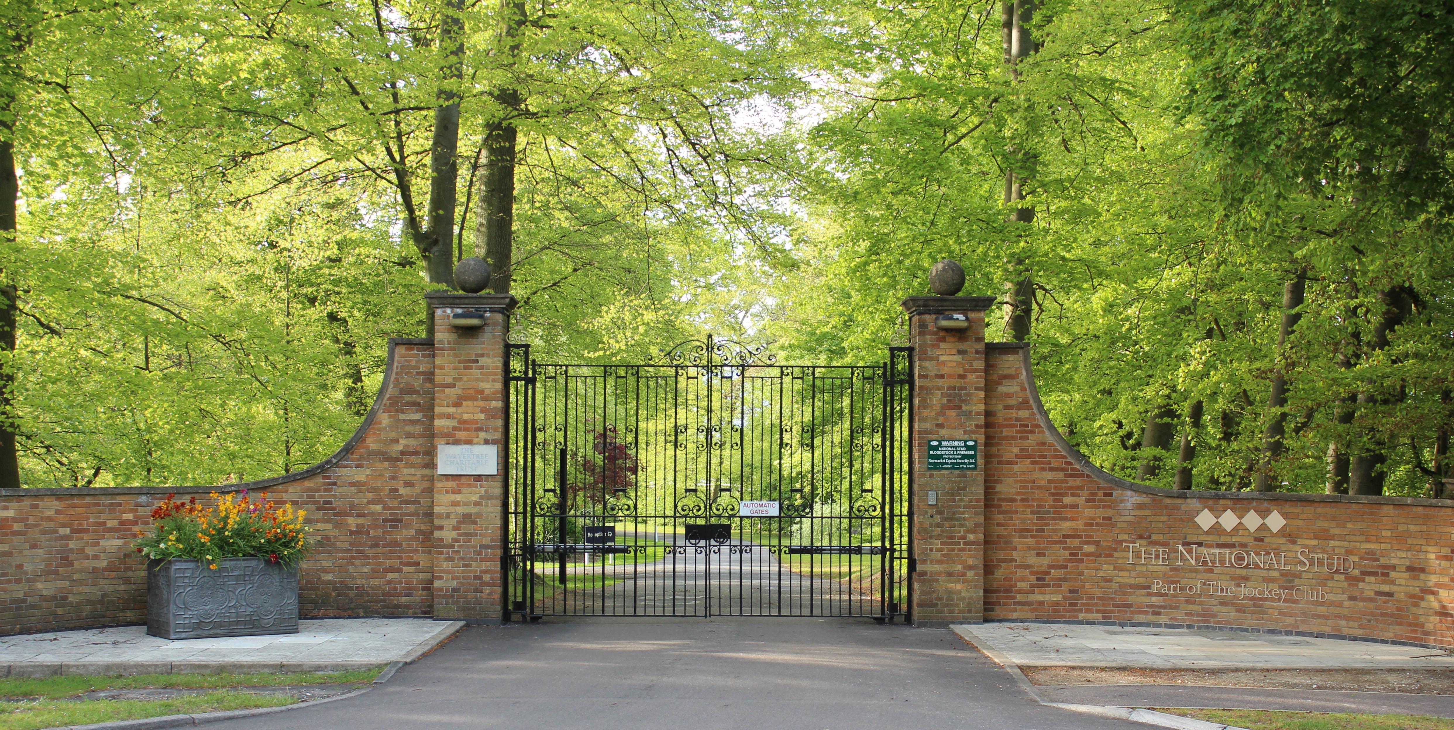
The National Stud
The National Stud is a United Kingdom Thoroughbred horse breeding farm located two miles from Newmarket. The Stud originated in 1916 as a result of a gift...

Great Wilbraham
Great Wilbraham is a small village situated in a rural area some seven miles (11 km) to the east of Cambridge, between the edge of an area of low-lying...

Little Wilbraham
Little Wilbraham is a village in Cambridgeshire, England, 6 miles (10 km) east of Cambridge between the A1303 and the A11. It is in the district of South...
Great Wilbraham Preceptory
Great Wilbraham Preceptory is a preceptory in Great and Little Wilbraham, Cambridgeshire. Much of the Church of Saint Nicholas at Great Wilbraham dates...

Swaffham Bulbeck
Swaffham Bulbeck is a small village in East Cambridgeshire, England. Swaffham Bulbeck is located about 8 miles (13 km) from the city of Cambridge, and...
Nearby Amenities
Located within 500m of 52.203949,0.31971754Have you been to Carriage Drive Belt?
Leave your review of Carriage Drive Belt below (or comments, questions and feedback).