Clay's Wood
Wood, Forest in Sussex Wealden
England
Clay's Wood
Clay's Wood is a picturesque forest located in Sussex, England. Covering an area of approximately 50 acres, it is a popular destination for nature enthusiasts and outdoor lovers. The woodland is situated near the village of Clay's Hill, giving it its name.
The forest is predominantly composed of native tree species, including oak, beech, and birch. These majestic trees provide a dense canopy, creating a serene and tranquil atmosphere within the wood. The forest floor is covered in a rich carpet of mosses, ferns, and wildflowers, adding to the beauty of the surroundings.
Clay's Wood is home to a diverse range of wildlife, making it an ideal spot for birdwatching and animal spotting. Visitors have the chance to encounter various woodland birds, such as woodpeckers, owls, and warblers. Mammals like deer, foxes, and rabbits can also be spotted within the forest, adding to its natural charm.
The wood offers several walking trails, providing visitors with the opportunity to explore its natural beauty. These trails meander through the forest, leading visitors to discover hidden ponds, babbling brooks, and ancient trees. The peaceful ambiance of the wood makes it a perfect place for a leisurely stroll or a family picnic amidst nature.
Clay's Wood, with its stunning scenery and abundant wildlife, offers a haven for those seeking an escape from the hustle and bustle of everyday life. Whether enjoying a peaceful walk, observing the local fauna, or simply appreciating the therapeutic presence of nature, this forest is truly a gem in the heart of Sussex.
If you have any feedback on the listing, please let us know in the comments section below.
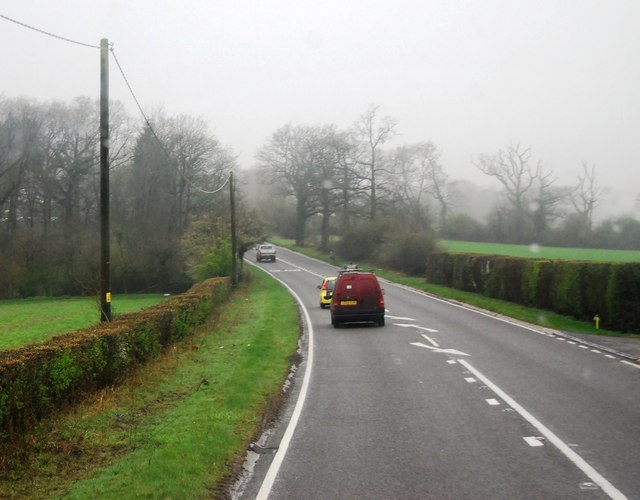
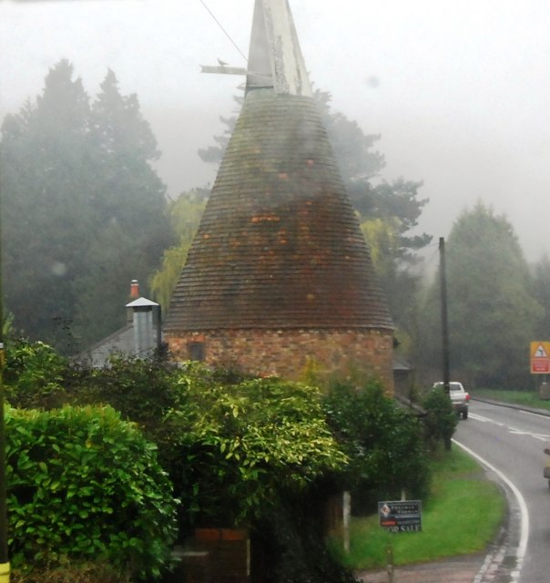
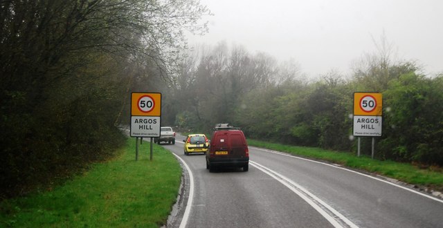
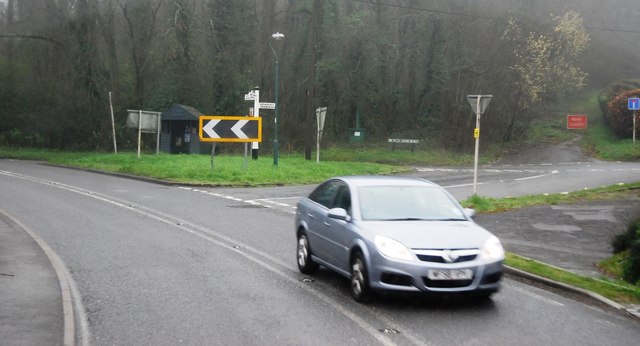
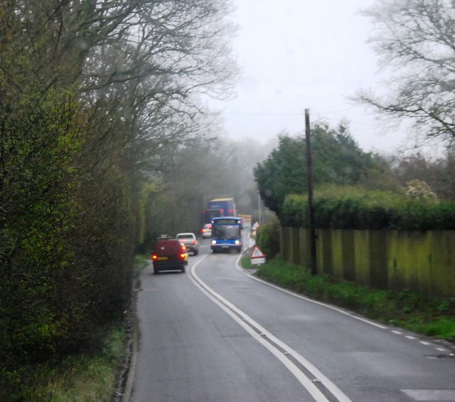
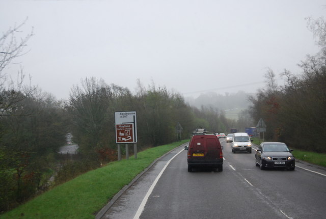
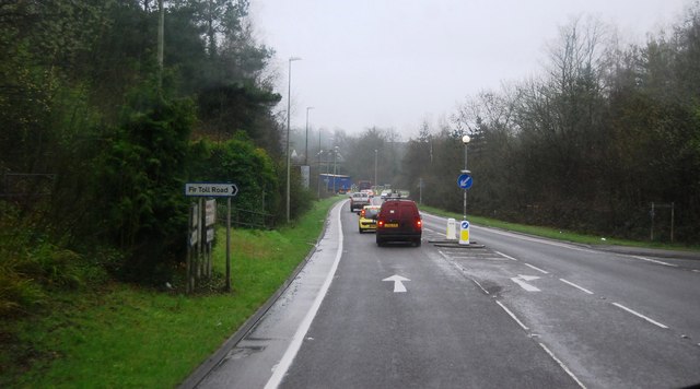
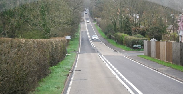
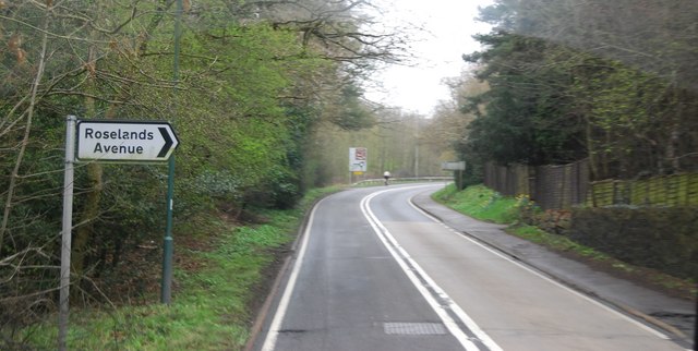
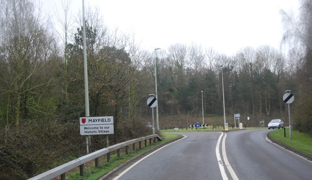
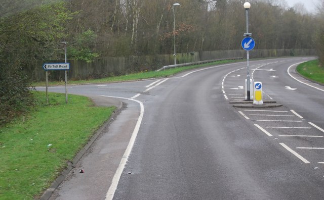
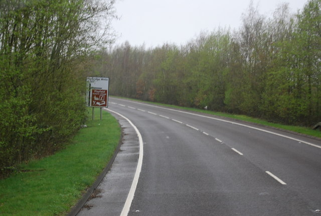
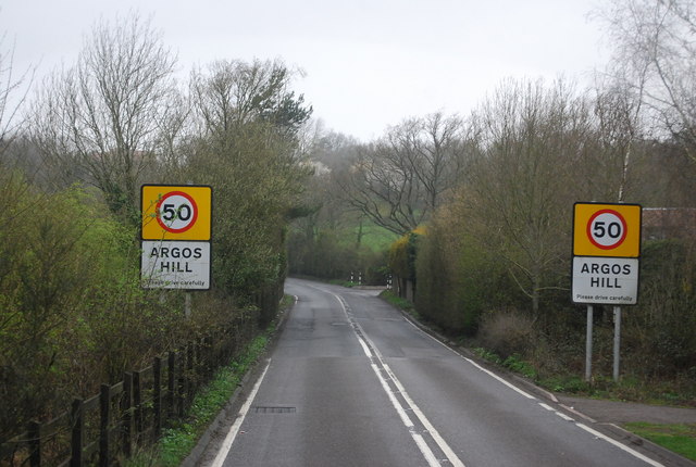
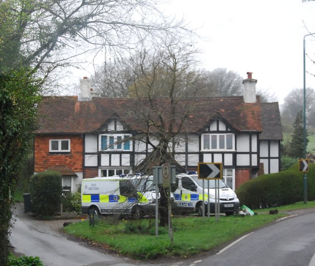
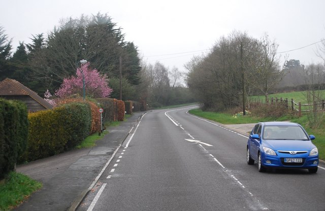
Clay's Wood Images
Images are sourced within 2km of 51.029097/0.25689632 or Grid Reference TQ5827. Thanks to Geograph Open Source API. All images are credited.


Clay's Wood is located at Grid Ref: TQ5827 (Lat: 51.029097, Lng: 0.25689632)
Administrative County: East Sussex
District: Wealden
Police Authority: Sussex
What 3 Words
///costumes.loved.iteration. Near Town Row, East Sussex
Nearby Locations
Related Wikis
Mayfield School, East Sussex
Mayfield School, previously St Leonards-Mayfield School, is an independent Catholic boarding and day school for girls aged 11 to 18. It is in the village...

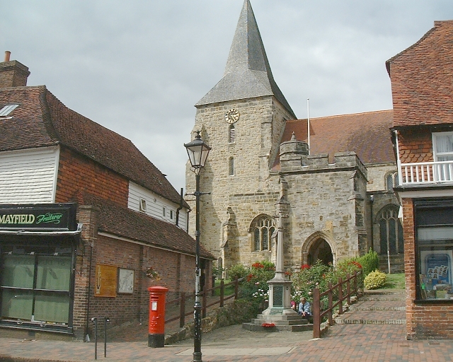
St Dunstan's Church, Mayfield
St Dunstan's, Mayfield in Mayfield, East Sussex was founded in 960 CE by St Dunstan, who was then Archbishop of Canterbury. It is reported as being originally...
Mayfield and Five Ashes
Mayfield and Five Ashes is a civil parish in the High Weald of East Sussex, England. The two villages making up the principal part of the parish lie on...
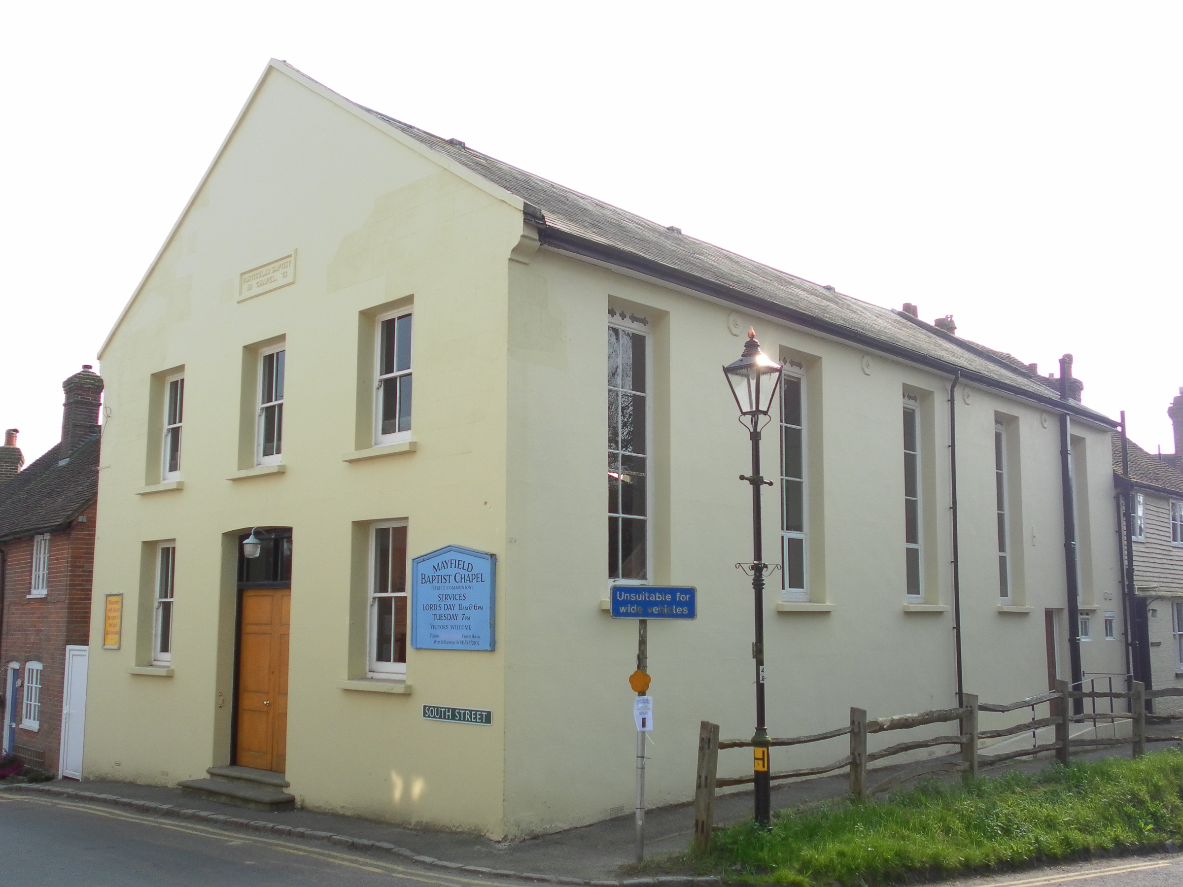
Mayfield Baptist Chapel
Mayfield Baptist Chapel, also known as Mayfield Strict Baptist Chapel, is a place of worship for Gospel Standard Strict Baptists in the village of Mayfield...
Nearby Amenities
Located within 500m of 51.029097,0.25689632Have you been to Clay's Wood?
Leave your review of Clay's Wood below (or comments, questions and feedback).