Gravel Pit Belt
Wood, Forest in Essex Uttlesford
England
Gravel Pit Belt
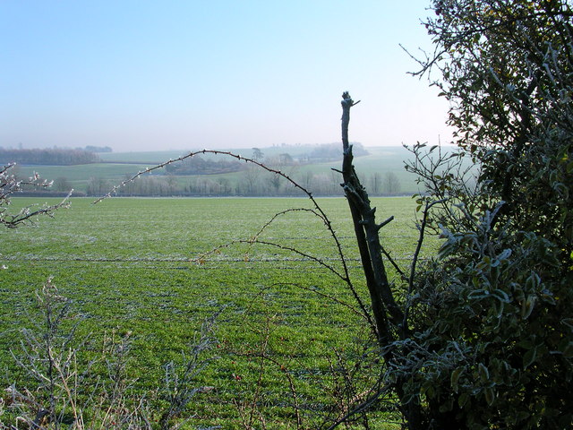
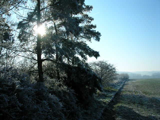
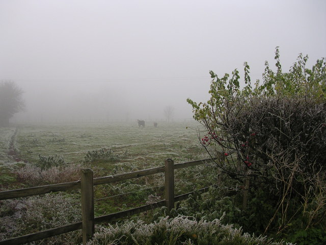
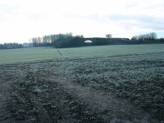
Gravel Pit Belt, located in Essex, is a woodland area known for its picturesque beauty and abundant wildlife. The belt stretches across acres of land, providing a serene and tranquil environment for visitors to explore and enjoy.
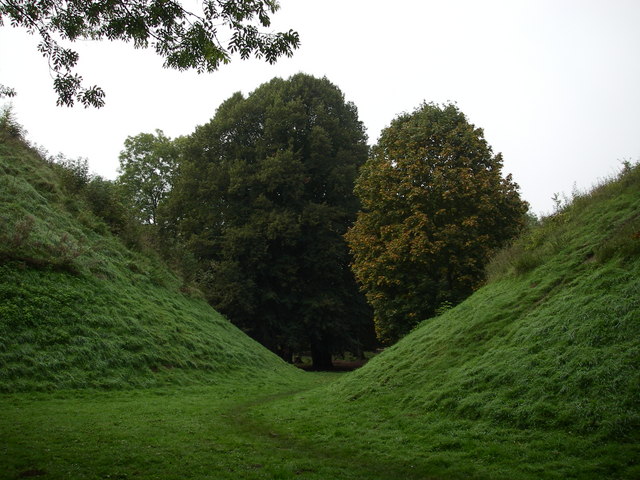
The main feature of Gravel Pit Belt is its vast gravel pits, which were formed through years of excavation for construction purposes. These pits have now been reclaimed by nature, resulting in a unique landscape with rolling mounds and small ponds. The area is covered with a dense forest, consisting of a variety of tree species, such as oaks, birches, and pines.
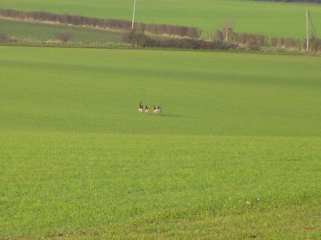
The woodland is a haven for wildlife enthusiasts, as it supports a diverse range of animal species. Visitors can spot various birds, including woodpeckers, owls, and songbirds, as well as mammals like deer, foxes, and rabbits. The tranquil setting also attracts a variety of butterflies and insects, making it an ideal spot for nature photography and observation.
There are several well-maintained walking trails that wind through the woodland, allowing visitors to explore the area at their own pace. These paths offer breathtaking views of the surrounding countryside, with occasional glimpses of the nearby river. Picnic areas are scattered throughout the woods, providing an opportunity for visitors to relax and enjoy a meal amidst nature.
Gravel Pit Belt is a popular destination for outdoor activities such as hiking, birdwatching, and photography. Its natural beauty, diverse wildlife, and peaceful atmosphere make it an ideal escape for nature lovers and a valuable asset to the Essex countryside.
If you have any feedback on the listing, please let us know in the comments section below.
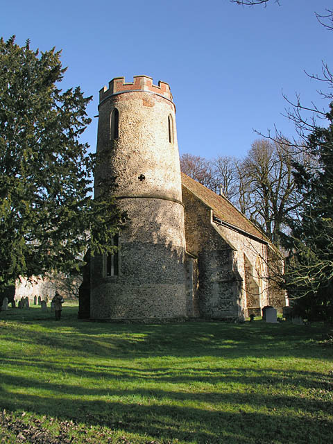
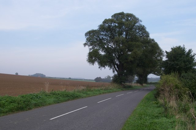
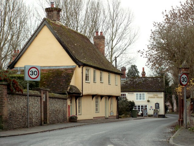
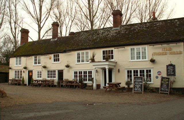
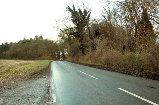
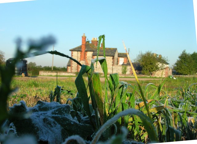
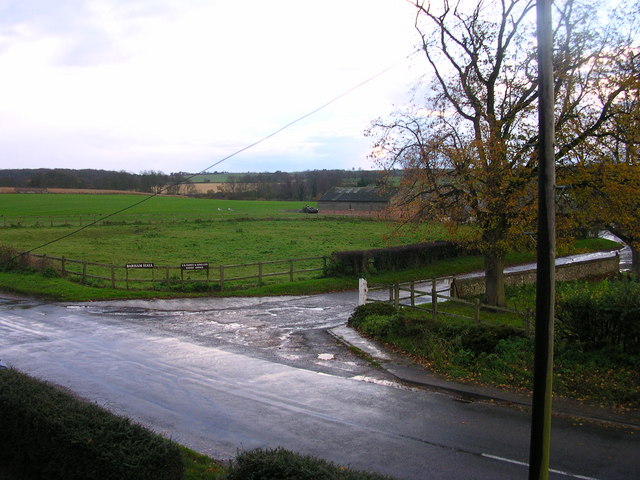
Gravel Pit Belt Images
Images are sourced within 2km of 52.080883/0.30353628 or Grid Reference TL5745. Thanks to Geograph Open Source API. All images are credited.


Gravel Pit Belt is located at Grid Ref: TL5745 (Lat: 52.080883, Lng: 0.30353628)
Administrative County: Essex
District: Uttlesford
Police Authority: Essex
What 3 Words
///celebrate.destroyer.admiral. Near Linton, Cambridgeshire
Nearby Locations
Related Wikis
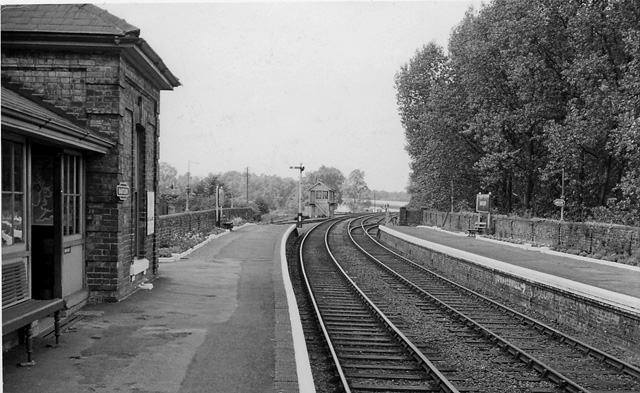
Bartlow railway station
Bartlow railway station was a station in Bartlow, Cambridgeshire on the Stour Valley Railway at the junction with the Saffron Walden Railway. There were...
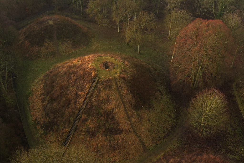
Bartlow Hills
Bartlow Hills is a Roman tumuli cemetery in Bartlow, Cambridgeshire, England. The site was in Essex until a boundary alteration in 1990. Four of the original...
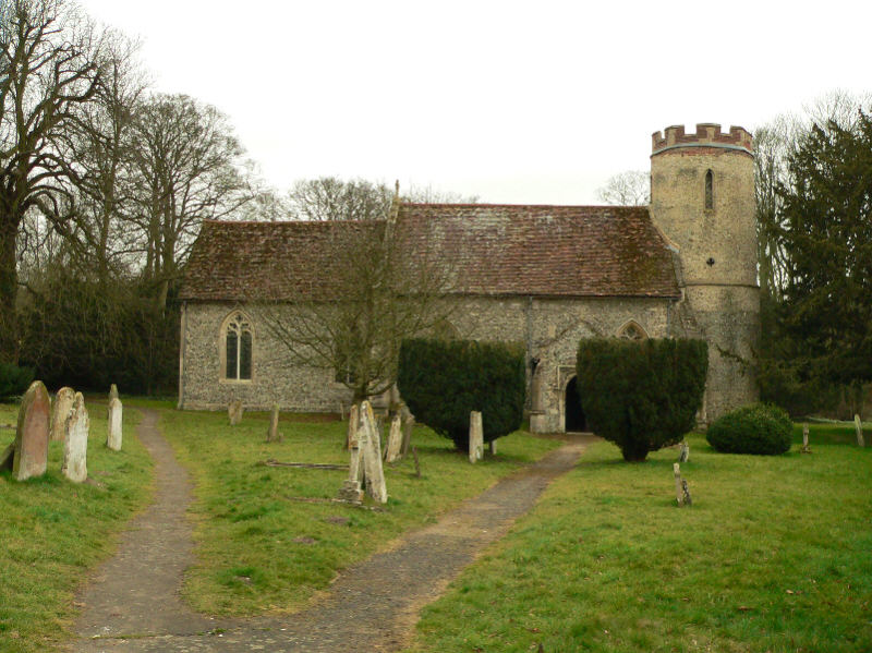
Bartlow
Bartlow is a small village and civil parish in the South Cambridgeshire district of Cambridgeshire, England, about 12 miles (19 km) south-east of Cambridge...

Barham Friary
Barham Friary was a Crutched Friars friary in Linton, Cambridgeshire, England. It was established around 1272 and was dissolved in 1538. == References ==

Hadstock
Hadstock is a village in Essex, England, about 6 miles (10 km) from Saffron Walden. It is on the county boundary with Cambridgeshire and about 9 miles...

Caxton and Arrington Rural District
Caxton and Arrington was a rural district in Cambridgeshire, England, from 1894 to 1934. It was formed in 1894 under the Local Government Act 1894, covering...
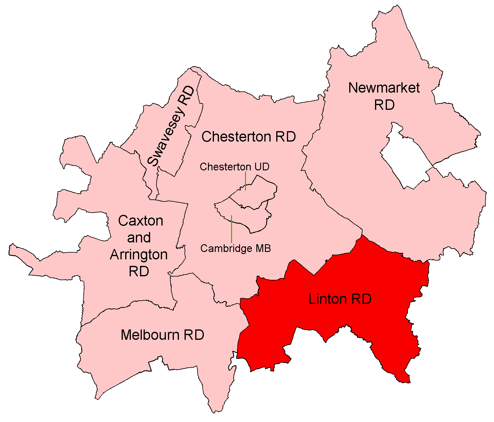
Linton Rural District
Linton was a rural district in Cambridgeshire, England, from 1894 to 1934. It was formed in 1894 under the Local Government Act 1894, covering the area...

Linton, Cambridgeshire
Linton is a village and civil parish in Cambridgeshire, England, on the border with Essex. The village is approximately 8 miles (13 km) southeast from...
Nearby Amenities
Located within 500m of 52.080883,0.30353628Have you been to Gravel Pit Belt?
Leave your review of Gravel Pit Belt below (or comments, questions and feedback).