Borley Wood

Wood, Forest in Cambridgeshire South Cambridgeshire

England

Borley Wood

Distant Horizons. Looking NW from opposite the entrance to Yole Farm
Distant Horizons. Credit: mike

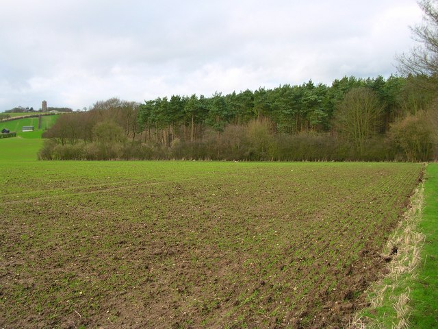
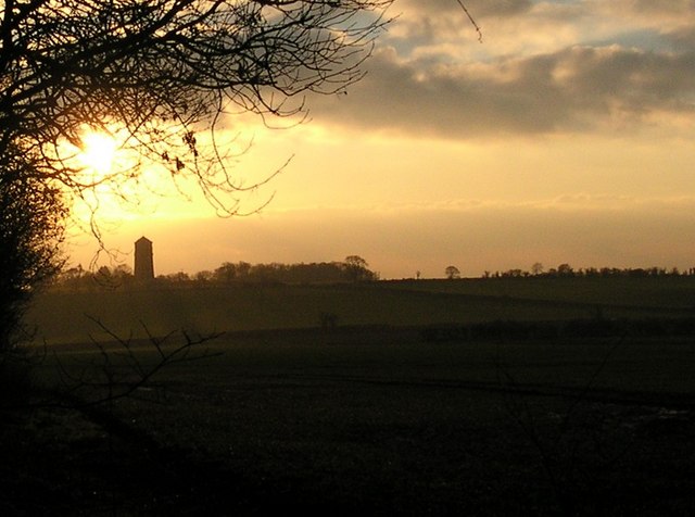
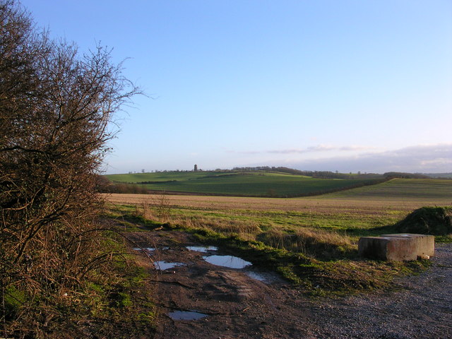
Borley Wood is a picturesque woodland located in the county of Cambridgeshire, England. Situated approximately 10 miles northwest of the city of Cambridge, this area of natural beauty covers an area of around 100 acres.

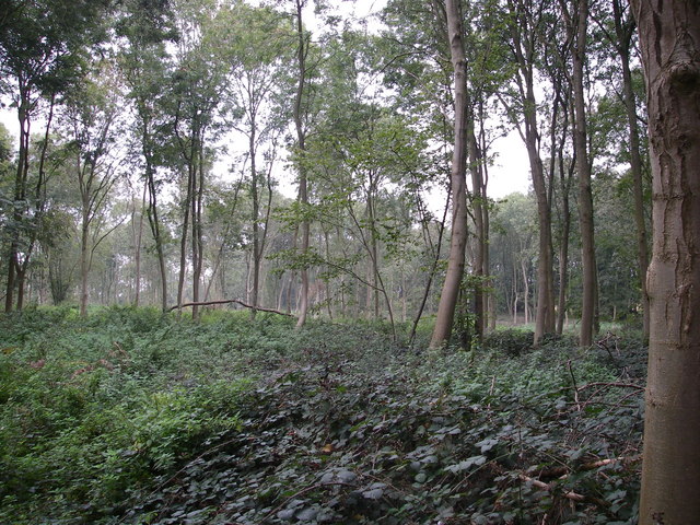
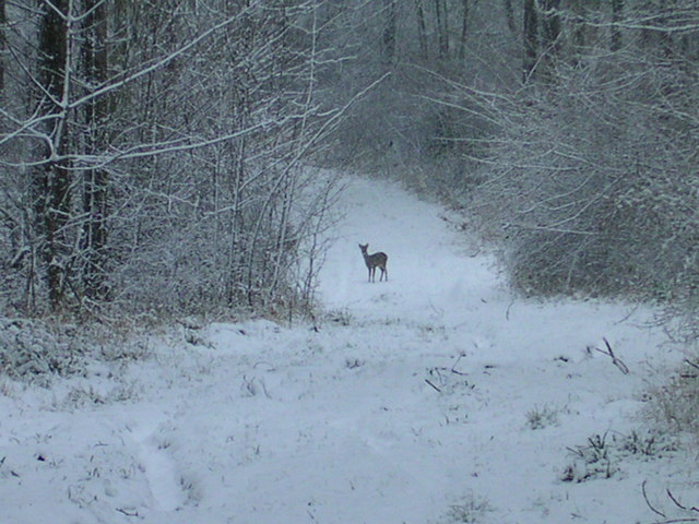
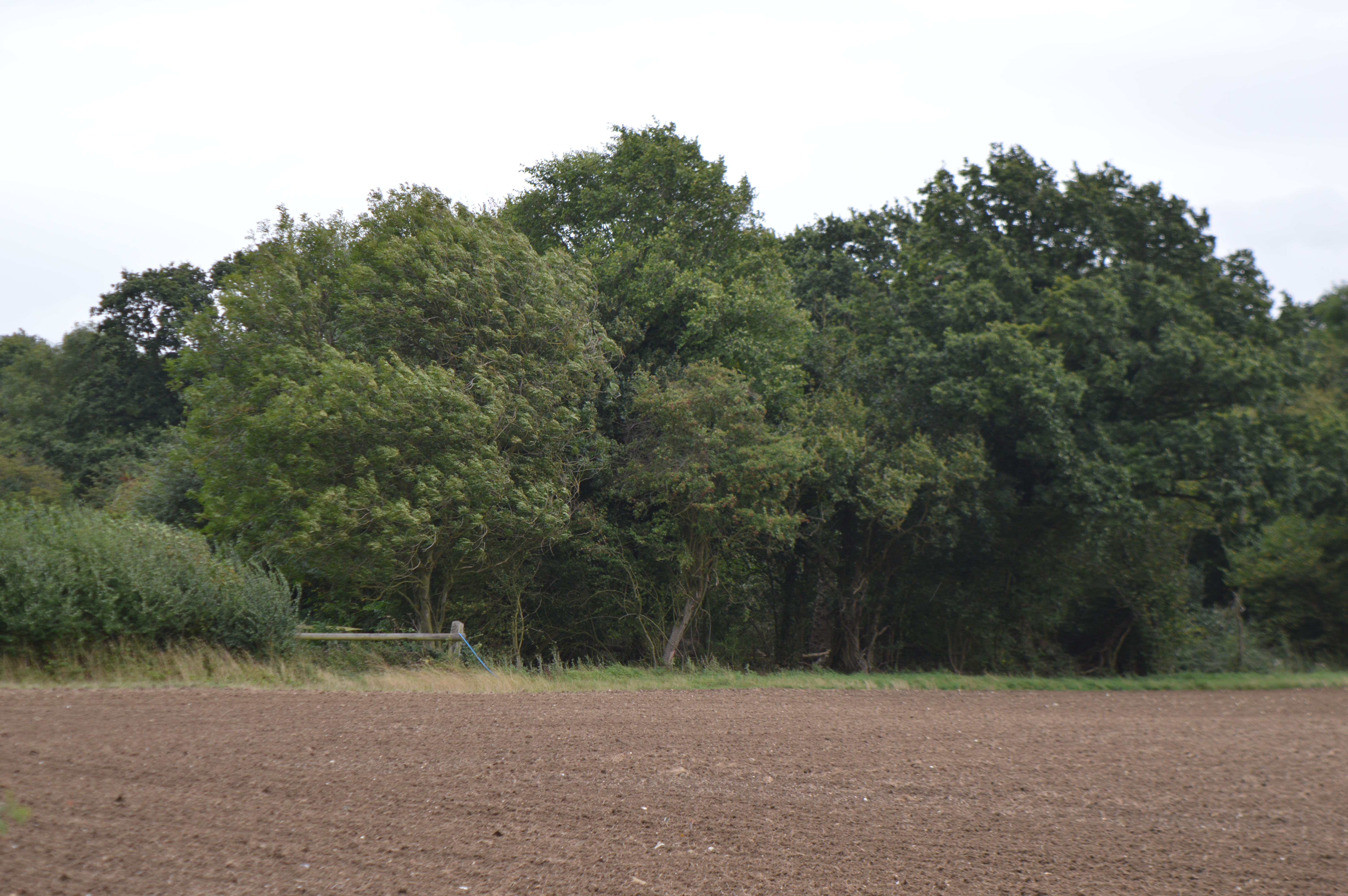
The woodland is predominantly composed of mixed deciduous trees, including oak, ash, birch, and beech, which create a stunning canopy of foliage that changes with the seasons. This diverse ecosystem supports a wide variety of wildlife, making it a popular destination for nature enthusiasts and birdwatchers.

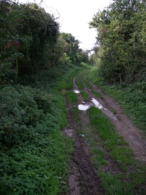
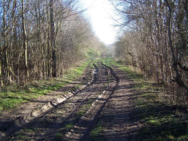
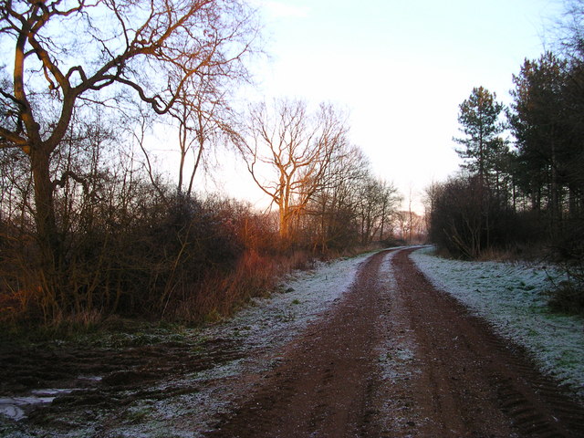
Visitors to Borley Wood can enjoy a network of well-maintained trails, allowing for leisurely walks and exploration of the area's natural wonders. The paths wind their way through the forest, offering glimpses of wildflowers, ferns, and moss-covered trees. The tranquil atmosphere of the wood provides the perfect escape from the hustle and bustle of everyday life.

Borley Wood has a rich history, with evidence of human activity dating back thousands of years. Archaeological finds, including pottery shards and flint tools, suggest that the area was inhabited during the Neolithic and Bronze Ages. Today, the wood is managed by local authorities to preserve its unique natural and historical features.

Overall, Borley Wood is a hidden gem in Cambridgeshire, offering a peaceful retreat for those seeking solace in nature. With its stunning woodland scenery, diverse wildlife, and historical significance, it is a must-visit destination for anyone exploring the region.

If you have any feedback on the listing, please let us know in the comments section below.
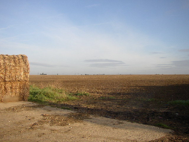
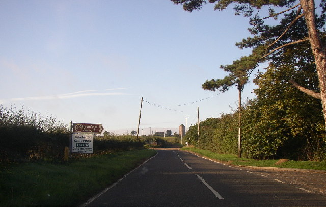
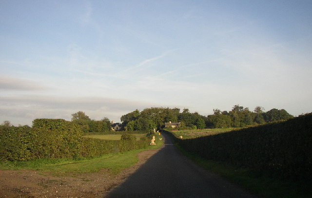
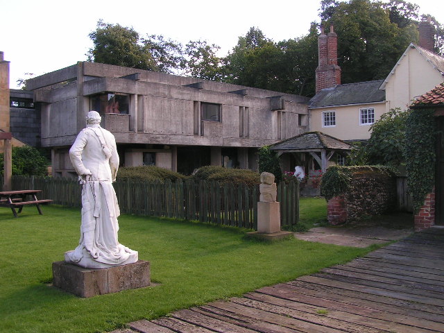
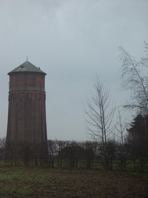
Borley Wood Images

Images are sourced within 2km of 52.112949/0.30495552 or Grid Reference TL5748. Thanks to Geograph Open Source API. All images are credited.

Distant Horizons. Looking NW from opposite the entrance to Yole Farm
Distant Horizons.
Looking NW from opposite the entrance to Yole Farm
Chilford Hall Vineyard Entrance to the vineyard. Looking towards Linton on the Linton - Balsham road.
Chilford Hall Vineyard
Entrance to the vineyard. Looking towards Linton on the Linton - Balsham road.
Chilford Hall Vineyard The main hall can be seen in the trees. As well as a vineyard there is a crafts centre and conference centre.
Chilford Hall Vineyard
The main hall can be seen in the trees. As well as a vineyard there is a crafts centre and conference centre.
Rivey Hill Looking up Rivey Hill from the SE. The water tower surmounts this hill, which at 112m, is the highest point for miles around
Rivey Hill
Looking up Rivey Hill from the SE. The water tower surmounts this hill, which at 112m, is the highest point for miles around
Chilford Hall The concrete extension was added by the current owners in the late 1960s.
Chilford Hall
The concrete extension was added by the current owners in the late 1960s.
Chilford Water Tower This water tower sits on the hill above the town of Linton in Cambridgeshire.
Chilford Water Tower
This water tower sits on the hill above the town of Linton in Cambridgeshire.
Roman road The Roman road across an otherwise featureless landscape maybe an Iron age track upgraded by the Romans.
Roman road
The Roman road across an otherwise featureless landscape maybe an Iron age track upgraded by the Romans.
Borley wood - restoration This view shows a area from which planted exotic conifer species have just been removed to allow site native species to re-assert themselves (NVC W8 ash/maple woodland type).
Borley wood - restoration
This view shows a area from which planted exotic conifer species have just been removed to allow site native species to re-assert themselves (NVC W8 ash/maple woodland type).
Bridleway leading to Streetly End
Driveway to Horseheath Lodge
3 deer sitting out a windy day Zoom in to see the deer.  There are 8 deer all together. They stood up ran into the Borley Wood before my camera refreshed so I can only show 3 here. In the next shot they were a blur.
3 deer sitting out a windy day
Zoom in to see the deer. There are 8 deer all together. They stood up ran into the Borley Wood before my camera refreshed so I can only show 3 here. In the next shot they were a blur.
Roman Road
Roman Road
Heath Farm The name Heath Farm appears on an older map.  There is another Heath Farm on TL 5755 and TL 5253.
Heath Farm
The name Heath Farm appears on an older map. There is another Heath Farm on TL 5755 and TL 5253.
Buck is left of doe The Gamekeeper here said he counted 71 deer here the other day.
Buck is left of doe
The Gamekeeper here said he counted 71 deer here the other day.
Borley Wood at sunset
Linton's pretty lighthouse shaped water tower Got tired of waiting for the sunset so the tree branches helped.
Linton's pretty lighthouse shaped water tower
Got tired of waiting for the sunset so the tree branches helped.
A view from a freeze.
Where the road with no name crosses the Roman Rd. Behind me is the road between Hildersham and Balsham.  The Linton Water tower is on the Horizon.
Where the road with no name crosses the Roman Rd.
Behind me is the road between Hildersham and Balsham. The Linton Water tower is on the Horizon.
Show me another place!

Borley Wood is located at Grid Ref: TL5748 (Lat: 52.112949, Lng: 0.30495552)

Administrative County: Cambridgeshire

District: South Cambridgeshire

Police Authority: Cambridgeshire

What 3 Words

///selects.trespass.caravan. Near Balsham, Cambridgeshire

Nearby Locations

Borley Wood

Related Wikis

Balsham Wood

Balsham Wood is a 35 hectare biological Site of Special Scientific Interest south of Balsham in Cambridgeshire.This site has one of the last surviving...

Rivey Hill

Rivey Hill is a hill overlooking Linton in Cambridgeshire, England (grid reference TL567480). At 367 feet (112 m) it is the highest point for several miles...

South East Cambridgeshire (UK Parliament constituency)

South East Cambridgeshire is a constituency represented in the House of Commons of the UK Parliament since 2015 by Lucy Frazer, a member of the Conservative...

Caxton and Arrington Rural District

Caxton and Arrington was a rural district in Cambridgeshire, England, from 1894 to 1934. It was formed in 1894 under the Local Government Act 1894, covering...

Linton Rural District

Linton was a rural district in Cambridgeshire, England, from 1894 to 1934. It was formed in 1894 under the Local Government Act 1894, covering the area...

Balsham

Balsham is a rural village and civil parish in the county of Cambridgeshire, England, which has much expanded since the 1960s and is now one of several...

Linton, Cambridgeshire

Linton is a village and civil parish in Cambridgeshire, England, on the border with Essex. The village is approximately 8 miles (13 km) southeast from...

Barham Friary

Barham Friary was a Crutched Friars friary in Linton, Cambridgeshire, England. It was established around 1272 and was dissolved in 1538. == References ==

Nearby Amenities

Located within 500m of 52.112949,0.30495552
Power: pole
Lat/Long: 52.1153514/0.3074335
Power: pole
Lat/Long: 52.1143198/0.3083668
Power: pole
Lat/Long: 52.1105847/0.3092948
Power: pole
Lat/Long: 52.1162954/0.304428
Power: pole
Lat/Long: 52.116241/0.3043958
Power: pole
Lat/Long: 52.1124098/0.3093337
Power: pole
Lat/Long: 52.1114486/0.3093083
Power: pole
Lat/Long: 52.1154175/0.3075152
Power: pole
Lat/Long: 52.1146022/0.310805
Power: pole
Lat/Long: 52.1132762/0.3093284
Power: pole
Lat/Long: 52.1158136/0.3058536
Power: pole
Lat/Long: 52.1157486/0.3058013
The data included in this document is from www.openstreetmap.org. The data is made available under ODbL.

Have you been to Borley Wood?

Leave your review of Borley Wood below (or comments, questions and feedback).