Copt Hill Plantation
Wood, Forest in Essex Uttlesford
England
Copt Hill Plantation
Copt Hill Plantation is a picturesque woodland located in Essex, England. Covering an area of approximately 200 hectares, it is a prime example of a well-preserved ancient woodland. The plantation mainly consists of deciduous trees, including oak, beech, and ash, which create a vibrant and diverse canopy.
This woodland has a rich history, dating back hundreds of years. It was originally part of a larger estate owned by a local aristocratic family, and it is believed that the plantation was established in the 17th century. Over the years, it has been managed and maintained to preserve its natural beauty and ecological value.
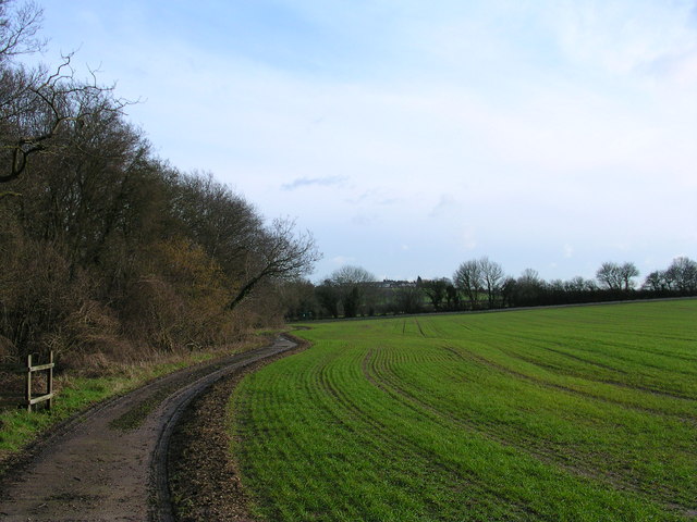
Copt Hill Plantation offers a tranquil escape for nature enthusiasts and walkers. A network of well-maintained footpaths and trails wind through the woodland, providing opportunities to explore its diverse flora and fauna. The woodland floor is adorned with a variety of wildflowers, such as bluebells and primroses, creating a vibrant and colorful display during the spring months.
The plantation is also home to a diverse range of wildlife. Visitors may spot woodland birds, such as woodpeckers and owls, as well as small mammals, including squirrels and rabbits. Additionally, the woodland supports a rich insect population, making it an ideal habitat for butterflies and other pollinators.
Copt Hill Plantation is managed by a local conservation organization in partnership with the Forestry Commission. Their efforts ensure that this beautiful woodland remains protected and accessible for generations to come.
If you have any feedback on the listing, please let us know in the comments section below.
Copt Hill Plantation Images
Images are sourced within 2km of 52.068341/0.30204431 or Grid Reference TL5743. Thanks to Geograph Open Source API. All images are credited.


Copt Hill Plantation is located at Grid Ref: TL5743 (Lat: 52.068341, Lng: 0.30204431)
Administrative County: Essex
District: Uttlesford
Police Authority: Essex
What 3 Words
///ballpoint.segmented.horizons. Near Linton, Cambridgeshire
Nearby Locations
Related Wikis
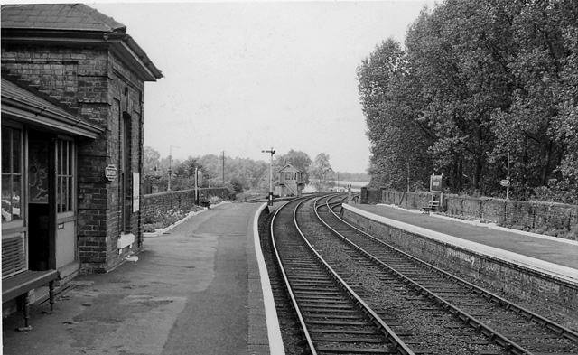
Bartlow railway station
Bartlow railway station was a station in Bartlow, Cambridgeshire on the Stour Valley Railway at the junction with the Saffron Walden Railway. There were...
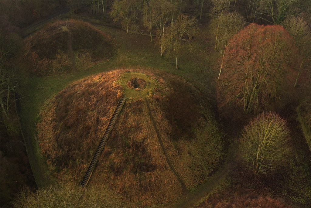
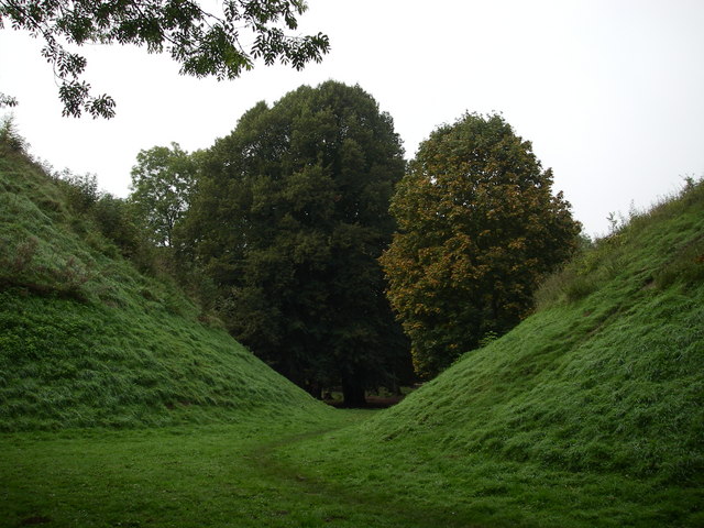
Bartlow Hills
Bartlow Hills is a Roman tumuli cemetery in Bartlow, Cambridgeshire, England. The site was in Essex until a boundary alteration in 1990. Four of the original...

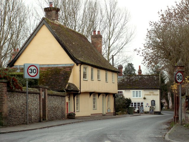
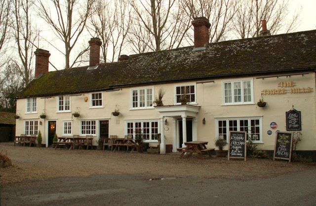
Ashdon
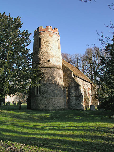
Ashdon, is a village and civil parish in Essex, England. It is about 4 miles (6 km) northeast of Saffron Walden and 23 miles (37 km) northwest from the...

Nunn Wood
Nunn Wood is a 9.7-hectare (24-acre) biological Site of Special Scientific Interest between Great Chesterford and Ashdon in Essex, England.The site is...
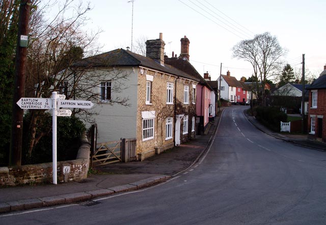
Bartlow
Bartlow is a small village and civil parish in the South Cambridgeshire district of Cambridgeshire, England, about 12 miles (19 km) south-east of Cambridge...
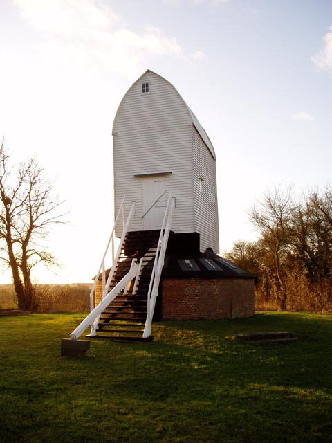
Bragg's Mill, Ashdon
Bragg's Mill, William Bragg's Mill, Bartlow Hamlet Mill or Stevington End Mill is a grade II listed post mill at Ashdon, Essex, England which has been...

Ashdon Halt railway station
Ashdon Halt was a railway station on the Saffron Walden Railway. It opened 14 August 1911 and closed 7 September 1964. The halt was approximately 46 miles...

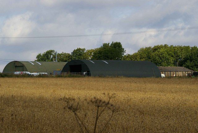
RAF Little Walden
Royal Air Force Little Walden or more simply RAF Little Walden is a former Royal Air Force station primarily used by the United States Army Air Forces...
Nearby Amenities
Located within 500m of 52.068341,0.30204431Have you been to Copt Hill Plantation?
Leave your review of Copt Hill Plantation below (or comments, questions and feedback).