Bushy Wood
Wood, Forest in Sussex Wealden
England
Bushy Wood

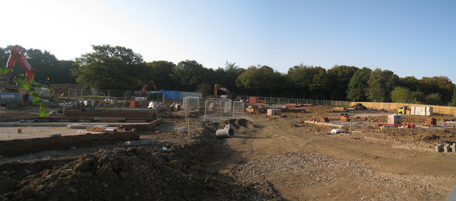
Bushy Wood is a picturesque woodland located in Sussex, England. It covers an area of approximately 100 acres and is renowned for its dense and lush vegetation, making it a haven for wildlife and nature enthusiasts alike. The wood is predominantly composed of broadleaf trees such as oak, beech, and ash, creating a diverse and vibrant ecosystem.
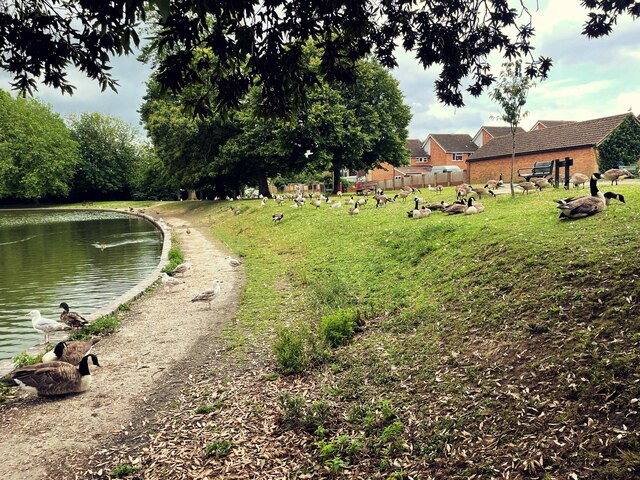
The woodland floor is carpeted with an array of wildflowers, ferns, and mosses, adding to the enchanting atmosphere of Bushy Wood. The undergrowth is teeming with wildlife, including small mammals like squirrels, rabbits, and badgers, as well as a wide variety of bird species, making it a popular spot for birdwatchers.
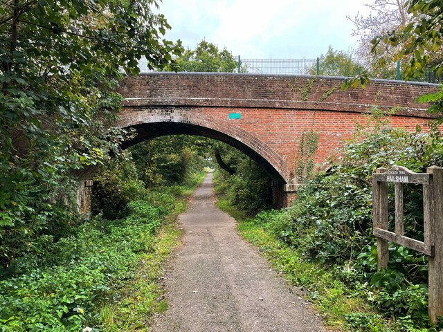
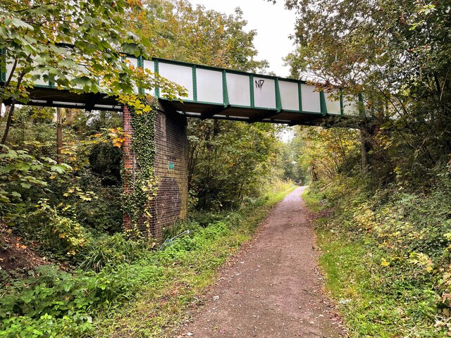
Several well-maintained footpaths crisscross the wood, enabling visitors to explore its beauty and discover hidden corners. These paths wind through the ancient trees, creating a sense of tranquility and a perfect setting for leisurely walks or peaceful picnics.
Bushy Wood has a rich history, dating back centuries. It was once part of the vast woodland that covered much of Sussex and played a significant role in the region's timber industry. Today, it remains a valuable natural resource and is managed by local conservation organizations to preserve its ecological importance.
The wood attracts visitors throughout the year, with each season bringing its own unique charm. In spring, the forest bursts into life with vibrant blossoms and the chorus of birdsong. In autumn, the foliage transforms into a riot of golden hues, creating a stunning display. Bushy Wood truly offers a serene and captivating experience for nature enthusiasts, making it a must-visit destination in Sussex.
If you have any feedback on the listing, please let us know in the comments section below.
Bushy Wood Images
Images are sourced within 2km of 50.859714/0.23887355 or Grid Reference TQ5709. Thanks to Geograph Open Source API. All images are credited.


Bushy Wood is located at Grid Ref: TQ5709 (Lat: 50.859714, Lng: 0.23887355)
Administrative County: East Sussex
District: Wealden
Police Authority: Sussex
What 3 Words
///nibbled.lilac.custom. Near Hailsham, East Sussex
Nearby Locations
Related Wikis

Arlington Stadium, Hailsham
Arlington Stadium is a sports stadium on Arlington Road West, Hailsham, East Sussex. The stadium is mainly used for Stock car racing and was formerly used...
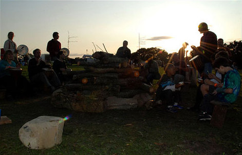
Out of the Ordinary Festival
The Out of the Ordinary Festival was an annual family- and eco-friendly music festival near Hailsham in the Sussex countryside. From 2007 to 2013 it celebrated...

Hailsham Town F.C.
Hailsham Town Football Club is a football club based in Hailsham, East Sussex, England. They are currently members of the Southern Combination Division...

St Wilfrid's Church, Hailsham
St Wilfrid's Church is a Roman Catholic church serving the town of Hailsham in the Wealden district of East Sussex, England. The present building was...

Hailsham railway station
Hailsham Railway Station was on the Cuckoo Line between Polegate and Hellingly serving the town of Hailsham. Originally built in 1849 by the London, Brighton...
Hailsham Community College
Hailsham Community College is a coeducational all-through school and sixth form with academy status, located in Hailsham, East Sussex, England. There...

Hailsham
Hailsham is a town, a civil parish and the administrative centre of the Wealden district of East Sussex, England. It is mentioned in the Domesday Book...
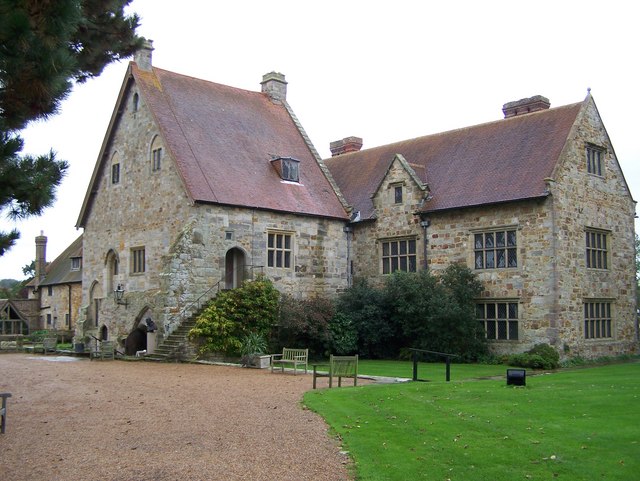
Michelham Priory
Michelham Priory is the site of a former Augustinian Priory in Upper Dicker, East Sussex, England, United Kingdom. The surviving buildings are owned and...
Nearby Amenities
Located within 500m of 50.859714,0.23887355Have you been to Bushy Wood?
Leave your review of Bushy Wood below (or comments, questions and feedback).