Orphanage Wood

Wood, Forest in Sussex Wealden

England

Orphanage Wood

Mayfield Rd (A267) The A267 road is a 21 mile long road from Tunbridge Wells <a href="https://www.geograph.org.uk/photo/6669020">TQ5838 : A26, A267 junction</a> to Horsebridge.
Website: <span class="nowrap"><a title="http://www.sabre-roads.org.uk/wiki/index.php?title=A267" rel="nofollow ugc noopener" href="http://www.sabre-roads.org.uk/wiki/index.php?title=A267">Link</a><img style="margin-left:2px;" alt="External link" title="External link - shift click to open in new window" src="https://s1.geograph.org.uk/img/external.png" width="10" height="10"/></span>
Mayfield Rd (A267) Credit: N Chadwick

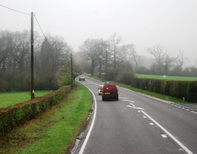
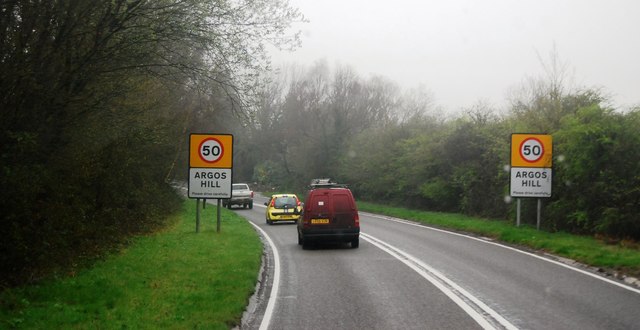
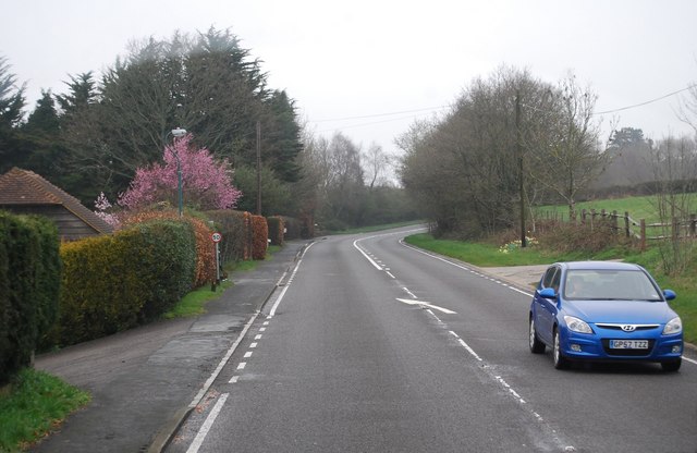
Orphanage Wood, located in Sussex, England, is a picturesque forest that covers an area of approximately 100 acres. Known for its natural beauty and tranquility, the wood is a popular destination for both locals and tourists seeking a peaceful retreat from the hustle and bustle of everyday life.

The wood is characterized by a dense canopy of towering oak, beech, and pine trees, which provide a cool and shaded environment, particularly during the warmer months. The forest floor is covered with a lush carpet of ferns, wildflowers, and moss, creating a vibrant and colorful display throughout the year.

Orphanage Wood is home to a diverse array of wildlife, including several species of birds, mammals, and insects. Birdwatchers can often spot woodpeckers, owls, and thrushes, among other species, while nature enthusiasts may come across rabbits, deer, and squirrels. The wood is also known for its rich insect population, with butterflies, dragonflies, and bees adding to the vibrant ecosystem.

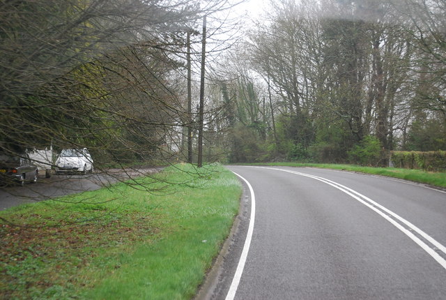
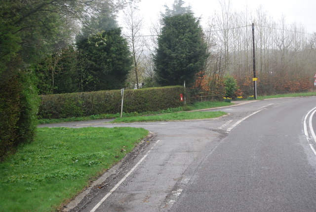
The wood offers several well-maintained walking trails, allowing visitors to explore its hidden gems. These trails wind through the forest, offering glimpses of sparkling streams, small ponds, and ancient stone walls. Along the way, visitors can find benches and picnic areas, providing opportunities to rest and enjoy the serenity of the surroundings.

Orphanage Wood is open to the public year-round, and admission is free. The wood is easily accessible by foot or bicycle, and there is ample parking available for those arriving by car. The management of the wood ensures that the natural habitat remains protected and preserved, allowing visitors to experience the beauty of this enchanting forest for generations to come.

If you have any feedback on the listing, please let us know in the comments section below.

Orphanage Wood Images

Images are sourced within 2km of 51.055787/0.24349572 or Grid Reference TQ5730. Thanks to Geograph Open Source API. All images are credited.

Mayfield Rd (A267) The A267 road is a 21 mile long road from Tunbridge Wells <a href="https://www.geograph.org.uk/photo/6669020">TQ5838 : A26, A267 junction</a> to Horsebridge.
Website: <span class="nowrap"><a title="http://www.sabre-roads.org.uk/wiki/index.php?title=A267" rel="nofollow ugc noopener" href="http://www.sabre-roads.org.uk/wiki/index.php?title=A267">Link</a><img style="margin-left:2px;" alt="External link" title="External link - shift click to open in new window" src="https://s1.geograph.org.uk/img/external.png" width="10" height="10"/></span>
Mayfield Rd (A267)
The A267 road is a 21 mile long road from Tunbridge Wells TQ5838 : A26, A267 junction to Horsebridge. Website: LinkExternal link
Entering Argos Hill, A267 The A267 road is a 21 mile long road from Tunbridge Wells <a href="https://www.geograph.org.uk/photo/6669020">TQ5838 : A26, A267 junction</a> to Horsebridge.
Website: <span class="nowrap"><a title="http://www.sabre-roads.org.uk/wiki/index.php?title=A267" rel="nofollow ugc noopener" href="http://www.sabre-roads.org.uk/wiki/index.php?title=A267">Link</a><img style="margin-left:2px;" alt="External link" title="External link - shift click to open in new window" src="https://s1.geograph.org.uk/img/external.png" width="10" height="10"/></span>
Entering Argos Hill, A267
The A267 road is a 21 mile long road from Tunbridge Wells TQ5838 : A26, A267 junction to Horsebridge. Website: LinkExternal link
Catts Inn, Rotherfield The inn, on the Square at the end of the High Street, bears a date of 1741.  The Union Flags were probably flying as it was the day after St George's Day.
Catts Inn, Rotherfield
The inn, on the Square at the end of the High Street, bears a date of 1741. The Union Flags were probably flying as it was the day after St George's Day.
Rotherfield Stores A general store on The Square in the centre of the village.
Rotherfield Stores
A general store on The Square in the centre of the village.
A267, Tunbridge Wells Rd The A267 road is a 21 mile long road from Tunbridge Wells <a href="https://www.geograph.org.uk/photo/6669020">TQ5838 : A26, A267 junction</a> to Horsebridge.
Website: <span class="nowrap"><a title="http://www.sabre-roads.org.uk/wiki/index.php?title=A267" rel="nofollow ugc noopener" href="http://www.sabre-roads.org.uk/wiki/index.php?title=A267">Link</a><img style="margin-left:2px;" alt="External link" title="External link - shift click to open in new window" src="https://s1.geograph.org.uk/img/external.png" width="10" height="10"/></span>
A267, Tunbridge Wells Rd
The A267 road is a 21 mile long road from Tunbridge Wells TQ5838 : A26, A267 junction to Horsebridge. Website: LinkExternal link
Tunbridge Wells Rd (A267) The A267 road is a 21 mile long road from Tunbridge Wells <a href="https://www.geograph.org.uk/photo/6669020">TQ5838 : A26, A267 junction</a> to Horsebridge.
Website: <span class="nowrap"><a title="http://www.sabre-roads.org.uk/wiki/index.php?title=A267" rel="nofollow ugc noopener" href="http://www.sabre-roads.org.uk/wiki/index.php?title=A267">Link</a><img style="margin-left:2px;" alt="External link" title="External link - shift click to open in new window" src="https://s1.geograph.org.uk/img/external.png" width="10" height="10"/></span>
Tunbridge Wells Rd (A267)
The A267 road is a 21 mile long road from Tunbridge Wells TQ5838 : A26, A267 junction to Horsebridge. Website: LinkExternal link
Tunbridge Wells Rd, Yew Tree Rd Junction
Turn off to Great Trodgers Farm, A267
Oast House at Yew Tree Farm, Yew Tree Lane, Town Row Single round kiln oast house. Stone built walls and weatherboarded stowage.  Cowl missing.
Oast House at Yew Tree Farm, Yew Tree Lane, Town Row
Single round kiln oast house. Stone built walls and weatherboarded stowage. Cowl missing.
The Kings Arms, Rotherfield
Rotherfield Stores On the corner of Church Road and North Street to the right.
Rotherfield Stores
On the corner of Church Road and North Street to the right.
A267 - leaving Argos Hill There was a 50 limit through the diffuse settlement.
A267 - leaving Argos Hill
There was a 50 limit through the diffuse settlement.
Sweeping bend on A267 In the distance is a sign for the right turn into Lake Street.
Sweeping bend on A267
In the distance is a sign for the right turn into Lake Street.
Station Road, Rotherfield Rotherfield and Marks Cross station complete with the line from Uckfield closed in June 1965. <span class="nowrap"><a title="http://www.disused-stations.org.uk/r/rotherfield_and_mark_cross/index.shtml" rel="nofollow ugc noopener" href="http://www.disused-stations.org.uk/r/rotherfield_and_mark_cross/index.shtml">Link</a><img style="margin-left:2px;" alt="External link" title="External link - shift click to open in new window" src="https://s1.geograph.org.uk/img/external.png" width="10" height="10"/></span>
Station Road, Rotherfield
Rotherfield and Marks Cross station complete with the line from Uckfield closed in June 1965. LinkExternal link
Tunbridge Wells Road at the junction of Yewtree Lane
'The Barn', Rotherfield
North Street, Rotherfield
Rotherfield Primary School
Show me another place!

Orphanage Wood is located at Grid Ref: TQ5730 (Lat: 51.055787, Lng: 0.24349572)

Administrative County: East Sussex

District: Wealden

Police Authority: Sussex

What 3 Words

///embarks.incur.tigers. Near Town Row, East Sussex

Related Wikis

St Joseph's College, Mark Cross

St Joseph's College was a Roman Catholic minor seminary in Mark Cross, outside Rotherfield in East Sussex. It was designed by Edward Pugin and the site...

Jameah Islameah School

Jameah Islameah School was an independent Islamic school in East Sussex. The school was located on a 54 acre site and had residential facilities to house...

Rotherfield and Mark Cross railway station

Rotherfield and Mark Cross (also Rotherfield) is the name of a closed station on the Eridge - Heathfield - Polegate railway (the Cuckoo Line) in East Sussex...

Walter's Mill, Mark Cross

Walter's Mill is a tower mill at Mark Cross, Sussex, England which has been converted to residential accommodation. == History == Walter's Mill was first...

Rotherfield

Rotherfield is a village and civil parish in the Wealden District of East Sussex, England. It is one of the largest parishes in East Sussex. There are...

Mayfield College

Mayfield College is a defunct Roman Catholic boys' boarding school founded as the Holy Trinity Orphanage For Boys in 1865–1866 by the American-born Dowager...

Argos Hill Mill, Mayfield

Argos Hill Mill is a grade II* listed post mill at Argos Hill, Mayfield, East Sussex, England As of 2017 it is in the process of restoration by the Argos...

Eridge Park

Eridge Park () is a village and historic park located north of the parish of Rotherfield, to the north-east of Crowborough in East Sussex, England. The...

Related Videos

Walt Disney World Florida (USA) - 4K - Animal Kingdom: Kilimanjaro Safari

Explore the Harambe Wildlife Reserve, home to 34 species living in 110 acres of picturesque open plains, shady forest ...

Part 4 - Solo Trekking In The Woods

A short solo trek with a 6kg rucksack through woodland as part of the training for a 100-mile hike across the South Downs in East ...

Nearby Amenities

Located within 500m of 51.055787,0.24349572
Post Box
Brand: Royal Mail
Brand Wikidata: Q638098
Brand Wikipedia: en:Royal Mail
Operator: Royal Mail
Operator Wikidata: Q638098
Post Box Type: wall
Ref: TN6 296
Royal Cypher: GR
Royal Cypher Wikidata: Q33102273
Lat/Long: 51.0539024/0.2444062
Power: pole
Lat/Long: 51.0567415/0.2485898
Power: pole
Lat/Long: 51.0571714/0.247879
Power: pole
Lat/Long: 51.0571259/0.2459183
Power: pole
Lat/Long: 51.0570989/0.2444404
Power: pole
Lat/Long: 51.0570484/0.2429733
Power: pole
Lat/Long: 51.0569877/0.2402535
Power: pole
Lat/Long: 51.0569422/0.238333
The data included in this document is from www.openstreetmap.org. The data is made available under ODbL.

Have you been to Orphanage Wood?

Leave your review of Orphanage Wood below (or comments, questions and feedback).