Hales Wood

Wood, Forest in Essex Uttlesford

England

Hales Wood

Derelict station platform, Ashdon Marked as 'halt' on the 1940s map, this was a platform on the Audley End to Bartlow line. Just here there's no other evidence on the ground that it ever existed.
Derelict station platform, Ashdon Credit: David Gruar

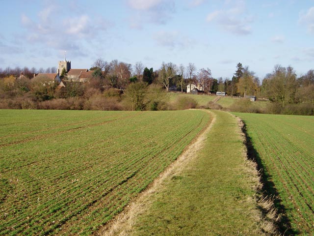
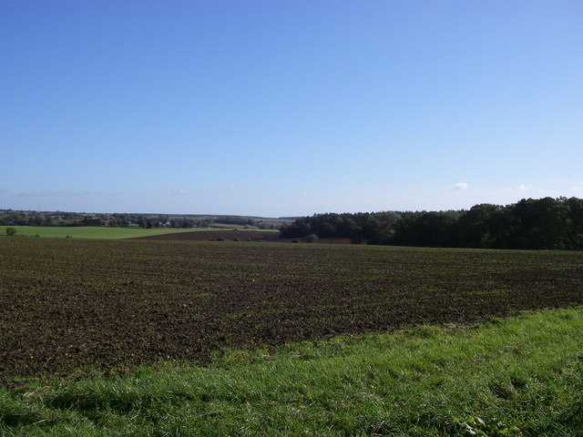
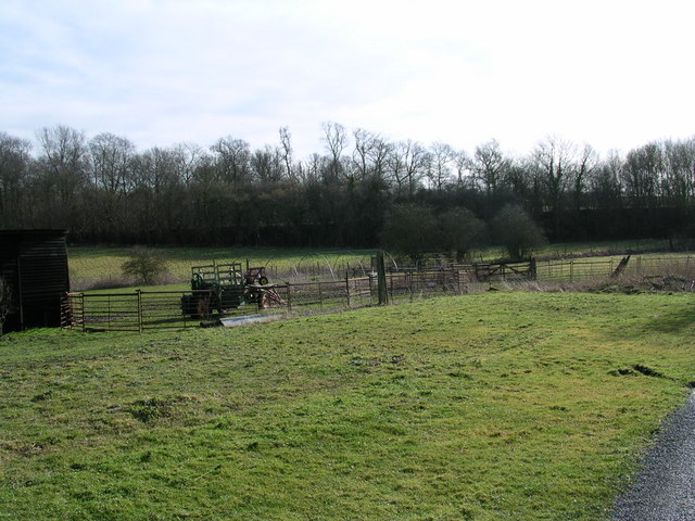
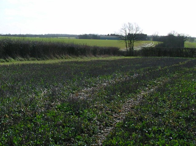
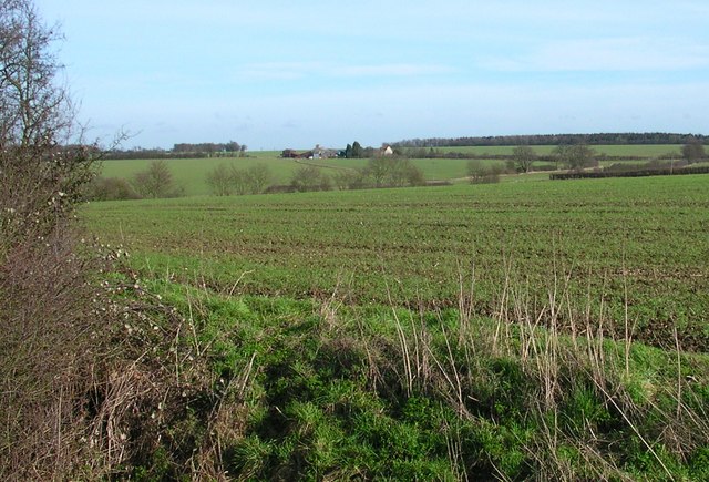
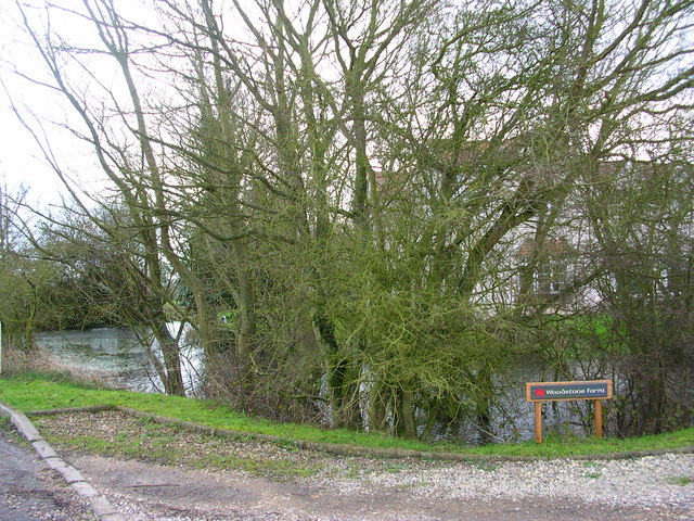
Hales Wood, located in Essex, England, is a picturesque forest covering an area of approximately 250 acres. It is a popular destination for nature lovers, hikers, and birdwatchers due to its diverse ecosystem and tranquil surroundings.

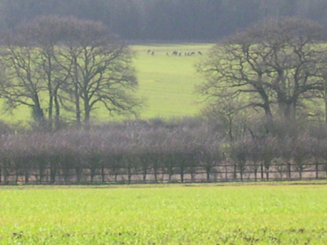
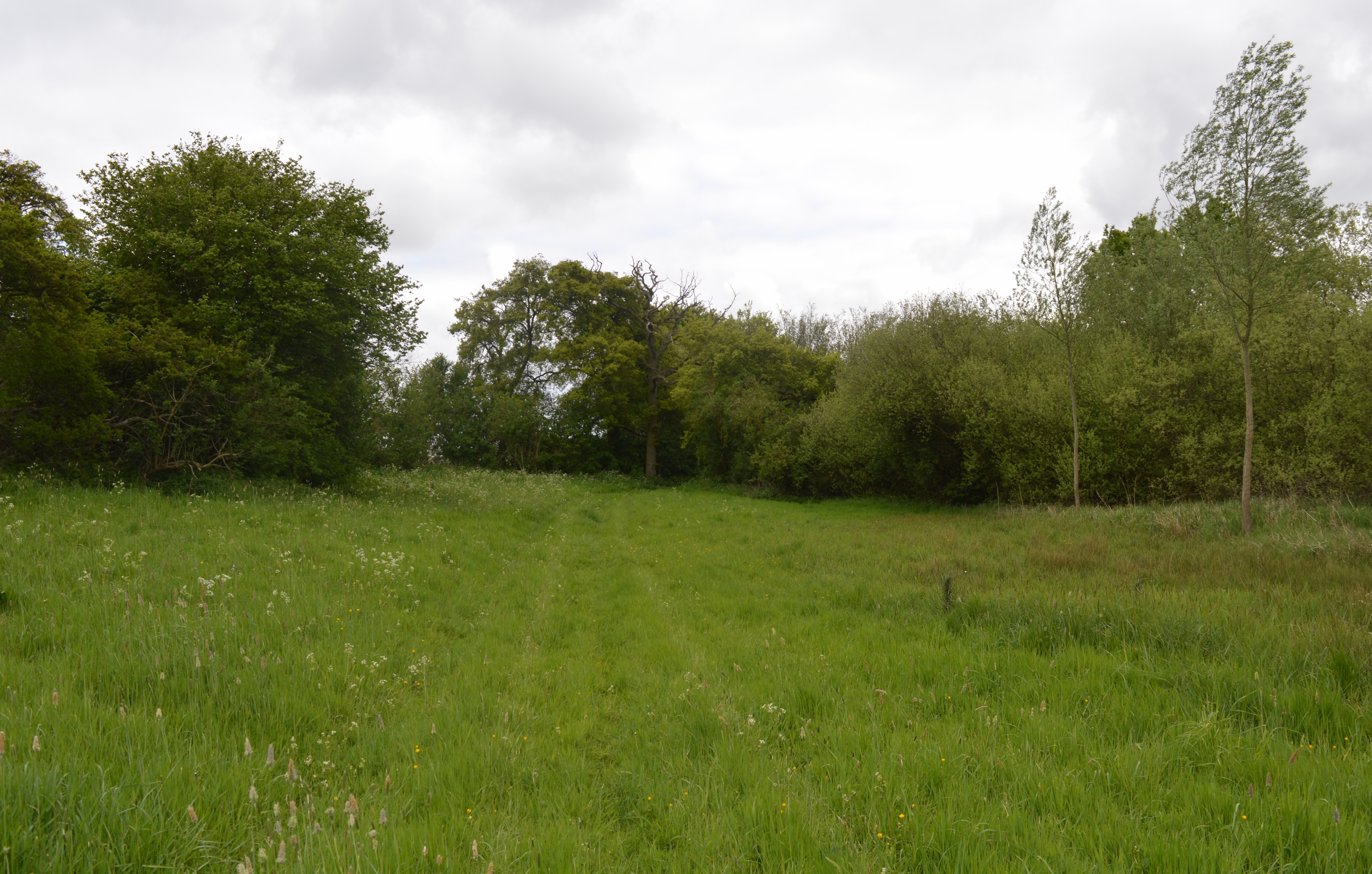
The woodland is primarily composed of broadleaf trees, such as oak, beech, and birch, which create a dense canopy overhead, providing shelter and shade for a variety of wildlife. The forest floor is covered in a rich carpet of wildflowers, including bluebells and primroses, adding vibrant colors to the landscape during springtime.

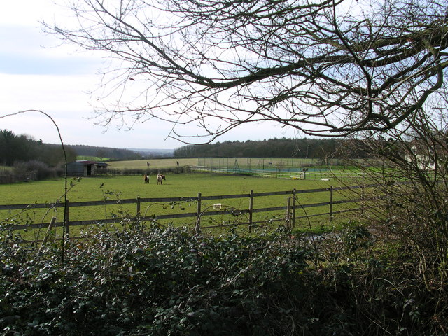
Hales Wood is home to a wide array of animal species, including deer, foxes, badgers, and an abundance of birdlife. Birdwatchers can spot woodpeckers, owls, and various songbirds in the treetops, while small mammals scurry among the undergrowth. The forest also boasts several ponds and streams, attracting frogs, newts, and dragonflies.

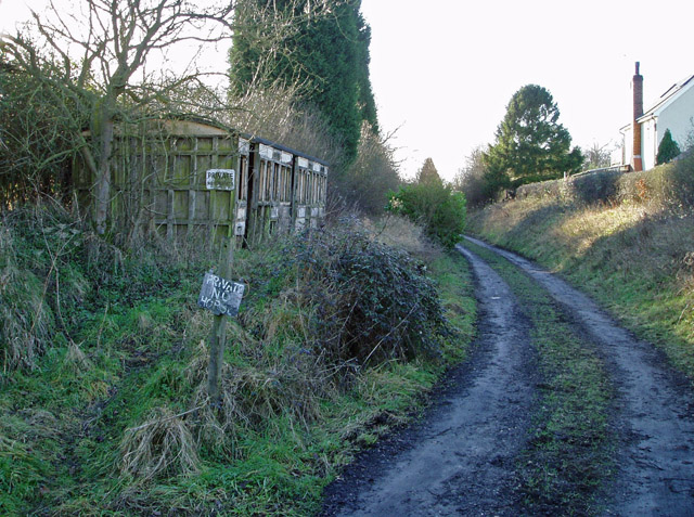
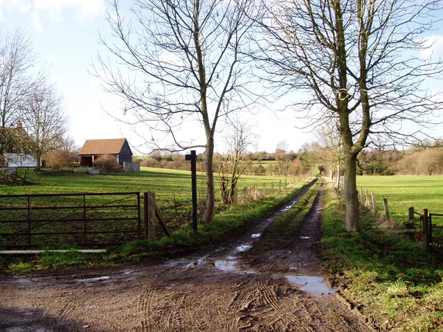
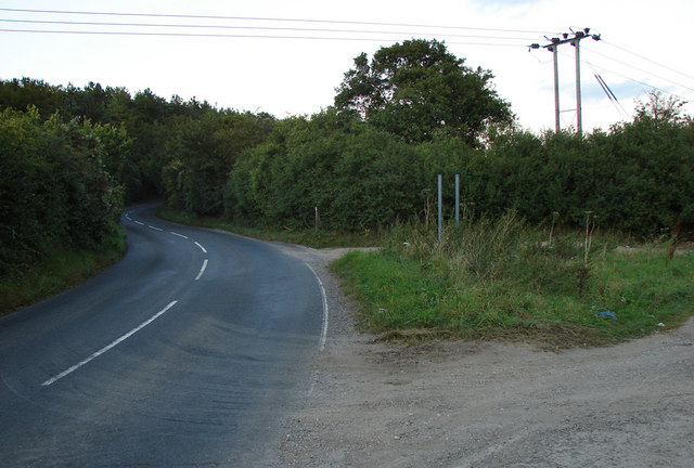
The woodland is crisscrossed by a network of well-maintained footpaths, allowing visitors to explore its natural beauty at their own pace. The gentle rustling of leaves, the chirping of birds, and the fresh scent of the forest create a tranquil atmosphere, making Hales Wood a perfect escape from the hustle and bustle of daily life.

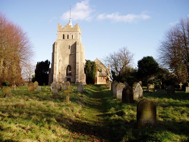
Aside from its natural attractions, Hales Wood also holds historical significance. The forest has been a part of the local landscape for centuries and contains remnants of ancient settlements, including earthworks and burial mounds, providing glimpses into Essex's past.

Overall, Hales Wood offers a captivating blend of natural beauty, biodiversity, and historical significance, making it a cherished destination for both locals and visitors alike.

If you have any feedback on the listing, please let us know in the comments section below.

Hales Wood Images

Images are sourced within 2km of 52.037898/0.28974786 or Grid Reference TL5740. Thanks to Geograph Open Source API. All images are credited.

Derelict station platform, Ashdon Marked as 'halt' on the 1940s map, this was a platform on the Audley End to Bartlow line. Just here there's no other evidence on the ground that it ever existed.
Derelict station platform, Ashdon
Marked as 'halt' on the 1940s map, this was a platform on the Audley End to Bartlow line. Just here there's no other evidence on the ground that it ever existed.
All Saints' Church, Ashdon Ashdon church is up the hill from the main village, part of the small settlement of Church End.
All Saints' Church, Ashdon
Ashdon church is up the hill from the main village, part of the small settlement of Church End.
Footpath from Church End to Water End, Ashdon A raised strip of land between two fields. Church End is in the background.
Footpath from Church End to Water End, Ashdon
A raised strip of land between two fields. Church End is in the background.
Path junction by Burnt House, Water End, Ashdon Burnt House is a name, not a description! The track straight ahead leads over to Church End (see also <a href="https://www.geograph.org.uk/photo/108668">TL5841 : Footpath from Church End to Water End, Ashdon</a>).
Path junction by Burnt House, Water End, Ashdon
Burnt House is a name, not a description! The track straight ahead leads over to Church End (see also TL5841 : Footpath from Church End to Water End, Ashdon).
Little Hales wood and fields - Ashdon The chalky boulder clay results in this typical mosaic of fields and woods.
Little Hales wood and fields - Ashdon
The chalky boulder clay results in this typical mosaic of fields and woods.
Puddle Wharf The Harcamlow Way follows the pavement south here.  That tractor has 1 wheel drive with the motor mounted to the right of the front wheel.
Puddle Wharf
The Harcamlow Way follows the pavement south here. That tractor has 1 wheel drive with the motor mounted to the right of the front wheel.
Oakfield Cottage Perfectly maintained.
Oakfield Cottage
Perfectly maintained.
Turn Right at the tree for Grimsditch Wood. The aerial to the left is in TL 5735. The building on the horizon is Butlers Farm where Harcamlow Way passes to the Southwest.
Turn Right at the tree for Grimsditch Wood.
The aerial to the left is in TL 5735. The building on the horizon is Butlers Farm where Harcamlow Way passes to the Southwest.
Looking across the Harcamlow Way to Butlers Farm. Trying to sneek up on 11 deer around the corner to the right.
Looking across the Harcamlow Way to Butlers Farm.
Trying to sneek up on 11 deer around the corner to the right.
11 deer. Zooming through the haze.
11 deer.
Zooming through the haze.
Ponies at Redgate Farm B and B here.
Ponies at Redgate Farm
B and B here.
Aerial marks the trail.
Behind the woods is Woodstone Farm
The road to Ashdon (north-east of Saffron Walden) A well used and open gated farm track joins the Ashdon road at the bottom of the hill (before the Redgate junction)
The road to Ashdon (north-east of Saffron Walden)
A well used and open gated farm track joins the Ashdon road at the bottom of the hill (before the Redgate junction)
Road junction and St Aylotts farm entrance
Countryside view Up on the ridge, a fair amount of countryside can be seen. The ridge at the back is above Littlebury, about five miles away.
Countryside view
Up on the ridge, a fair amount of countryside can be seen. The ridge at the back is above Littlebury, about five miles away.
Houses on the descent into Ashdon A well-earned rest for cyclists like this one who have climbed the hill from Saffron Walden. Haverhill TV mast is visible on the horizon.
Houses on the descent into Ashdon
A well-earned rest for cyclists like this one who have climbed the hill from Saffron Walden. Haverhill TV mast is visible on the horizon.
All Saints Ashdon from the north
Show me another place!

Hales Wood is located at Grid Ref: TL5740 (Lat: 52.037898, Lng: 0.28974786)

Administrative County: Essex

District: Uttlesford

Police Authority: Essex

What 3 Words

///slung.clean.pint. Near Saffron Walden, Essex

Related Wikis

Hales and Shadwell Woods

Hales and Shadwell Woods is a 15.4-hectare (38-acre) biological Site of Special Scientific Interest north-east of Saffron Walden in Essex. Shadwell Wood...

Ashdon Halt railway station

Ashdon Halt was a railway station on the Saffron Walden Railway. It opened 14 August 1911 and closed 7 September 1964. The halt was approximately 46 miles...

Ashdon Meadows

Ashdon Meadows is a 1.5-hectare (3.7-acre) biological Site of Special Scientific Interest south of Ashdon in Essex.The site is unimproved grassland which...

Sewards End

Sewards End is a village and civil parish in the Uttlesford district of Essex, England. Its area is 1211 acres. It is set in the rolling countryside...

Acrow Halt railway station

Acrow Halt was a railway station on the Saffron Walden Railway. Located at the north-eastern edge of Saffron Walden, Essex, the station was close to the...

Ashdon

Ashdon, is a village and civil parish in Essex, England. It is about 4 miles (6 km) northeast of Saffron Walden and 23 miles (37 km) northwest from the...

Nunn Wood

Nunn Wood is a 9.7-hectare (24-acre) biological Site of Special Scientific Interest between Great Chesterford and Ashdon in Essex, England.The site is...

Saffron Walden Grammar School

Saffron Walden Free Grammar School (or Saffron Walden Grammar School) was a school in the Essex town of Saffron Walden, which for over four hundred years...

Have you been to Hales Wood?

Leave your review of Hales Wood below (or comments, questions and feedback).