Crab Wood
Wood, Forest in Sussex Wealden
England
Crab Wood
Crab Wood, located in Sussex, England, is a picturesque woodland area that spans approximately 105 hectares. Situated within the South Downs National Park, it is renowned for its diverse array of flora and fauna, making it a popular destination for nature enthusiasts.
The woodland is predominantly composed of broadleaf trees, with oak, beech, and ash being the most common species. These majestic trees form a dense canopy, providing shelter for a variety of wildlife. Visitors to Crab Wood can expect to encounter a wide range of bird species, including woodpeckers, tits, and thrushes. Mammals such as deer, foxes, and badgers also call this woodland home.
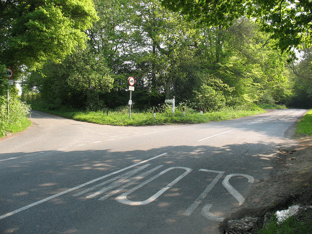
Crab Wood is crisscrossed by a network of well-maintained footpaths, offering visitors the opportunity to explore its enchanting beauty. These trails cater to both leisurely strolls and more challenging hikes, allowing visitors to immerse themselves in the tranquil atmosphere of the forest. Along the paths, one can find vibrant wildflowers, ferns, and mosses, adding splashes of color to the greenery.
One of the standout features of Crab Wood is its ancient trees, some of which are estimated to be over 500 years old. These ancient giants are protected and revered, adding a sense of wonder and history to the woodland. The unique character and biodiversity of Crab Wood make it a valuable ecological resource and a cherished natural gem within the Sussex countryside.
If you have any feedback on the listing, please let us know in the comments section below.
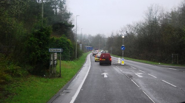
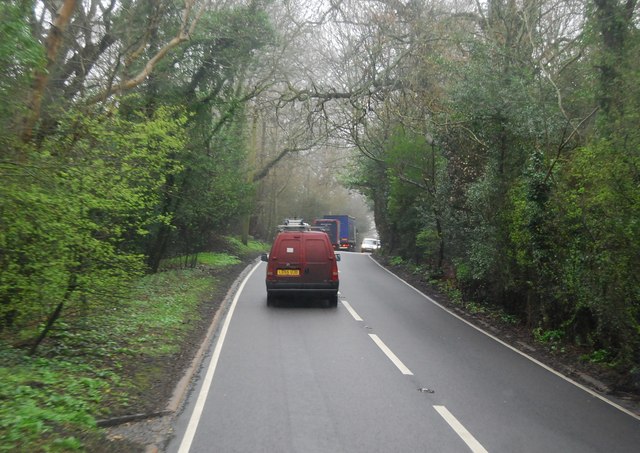
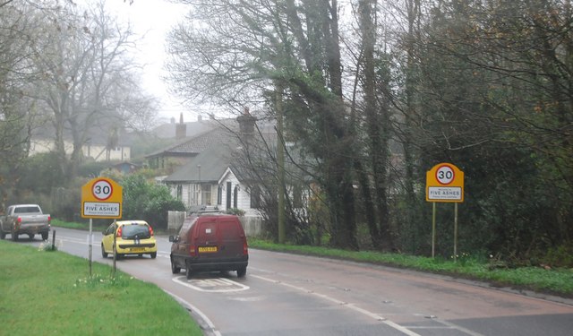
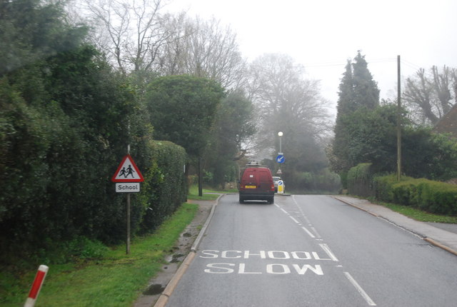
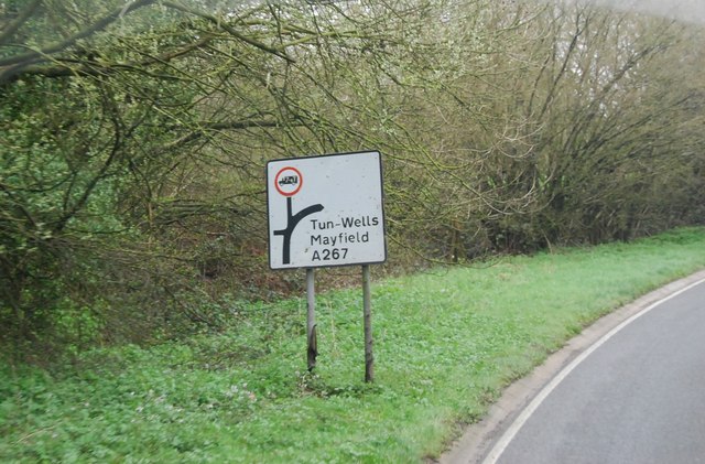
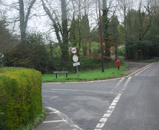
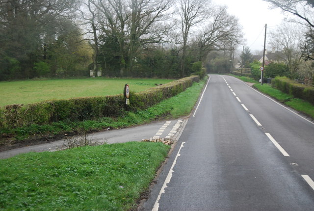
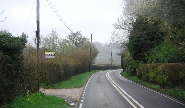
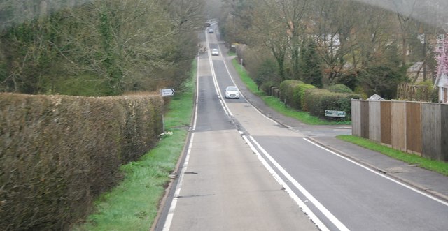
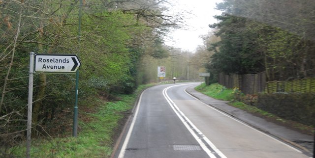
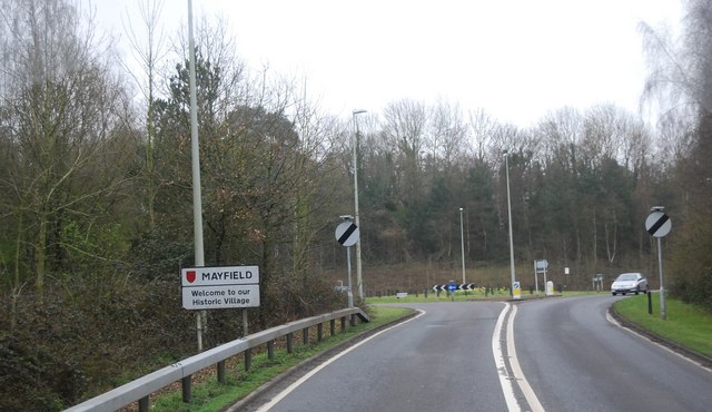
Crab Wood Images
Images are sourced within 2km of 51.008535/0.23830649 or Grid Reference TQ5725. Thanks to Geograph Open Source API. All images are credited.


Crab Wood is located at Grid Ref: TQ5725 (Lat: 51.008535, Lng: 0.23830649)
Administrative County: East Sussex
District: Wealden
Police Authority: Sussex
What 3 Words
///softest.unpacked.mice. Near Heathfield, East Sussex
Nearby Locations
Related Wikis

Mayfield railway station
Mayfield was a railway station on the now closed Eridge to Polegate cross country line (the Cuckoo Line). It was built by London, Brighton and South Coast...
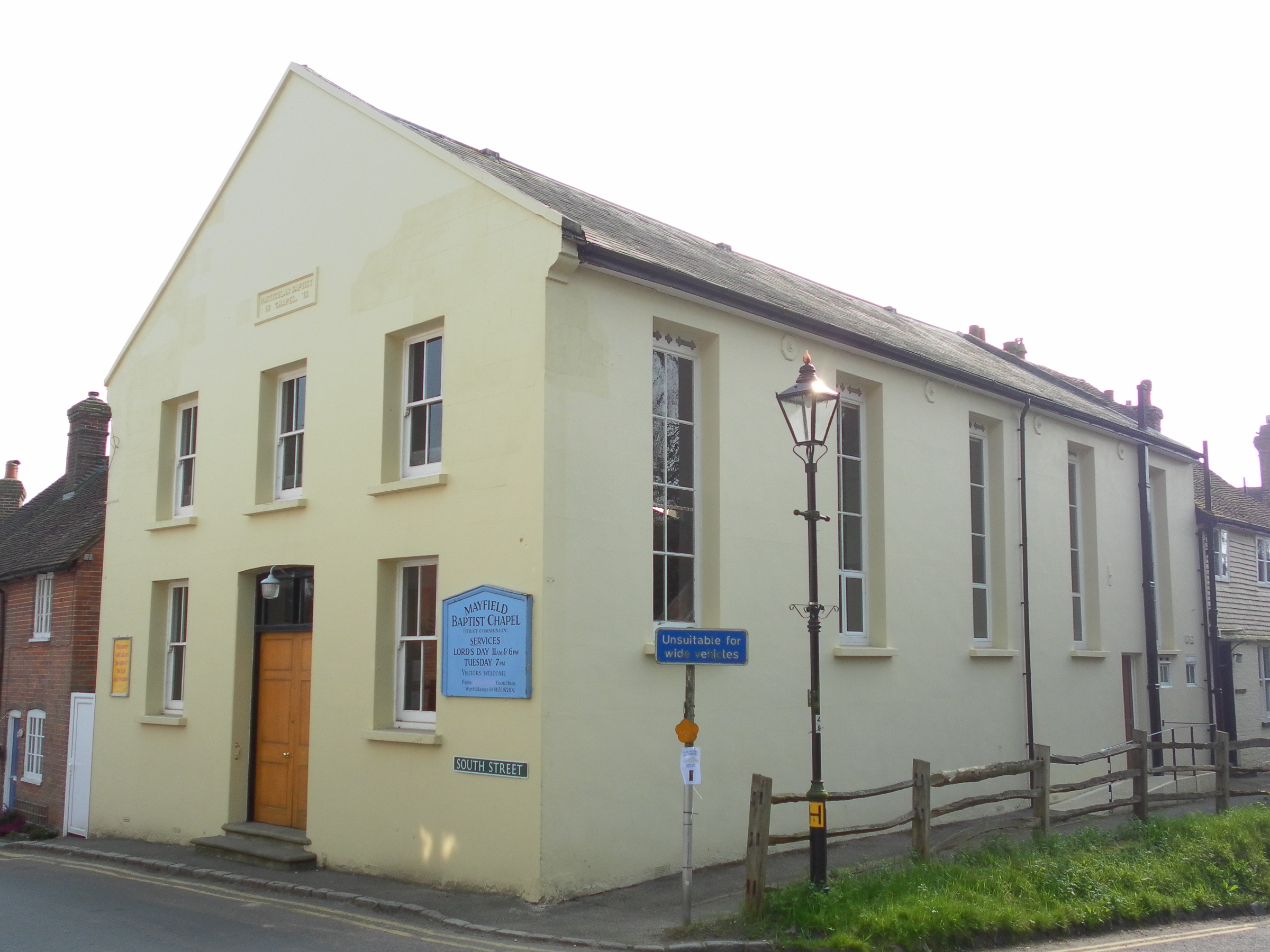
Mayfield Baptist Chapel
Mayfield Baptist Chapel, also known as Mayfield Strict Baptist Chapel, is a place of worship for Gospel Standard Strict Baptists in the village of Mayfield...
Mayfield and Five Ashes
Mayfield and Five Ashes is a civil parish in the High Weald of East Sussex, England. The two villages making up the principal part of the parish lie on...

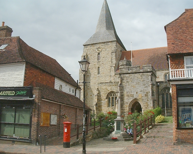
St Dunstan's Church, Mayfield
St Dunstan's, Mayfield in Mayfield, East Sussex was founded in 960 CE by St Dunstan, who was then Archbishop of Canterbury. It is reported as being originally...

Wealden (UK Parliament constituency)
Wealden is a constituency represented in the House of Commons of the UK Parliament since 2015 by Nus Ghani, a Conservative. Ghani is the first Muslim woman...

Wealden District
Wealden is a local government district in East Sussex, England. Its council is based in Hailsham, the district's largest town. The district also includes...
Mayfield School, East Sussex
Mayfield School, previously St Leonards-Mayfield School, is an independent Catholic boarding and day school for girls aged 11 to 18. It is in the village...

Argos Hill Mill, Mayfield
Argos Hill Mill is a grade II* listed post mill at Argos Hill, Mayfield, East Sussex, England As of 2017 it is in the process of restoration by the Argos...
Nearby Amenities
Located within 500m of 51.008535,0.23830649Have you been to Crab Wood?
Leave your review of Crab Wood below (or comments, questions and feedback).