Wilderness Plantation
Wood, Forest in Kent Tonbridge and Malling
England
Wilderness Plantation
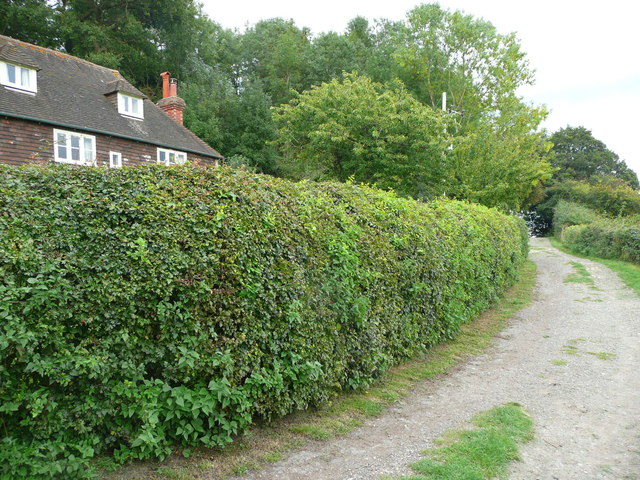
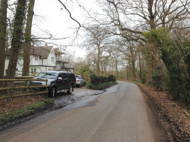
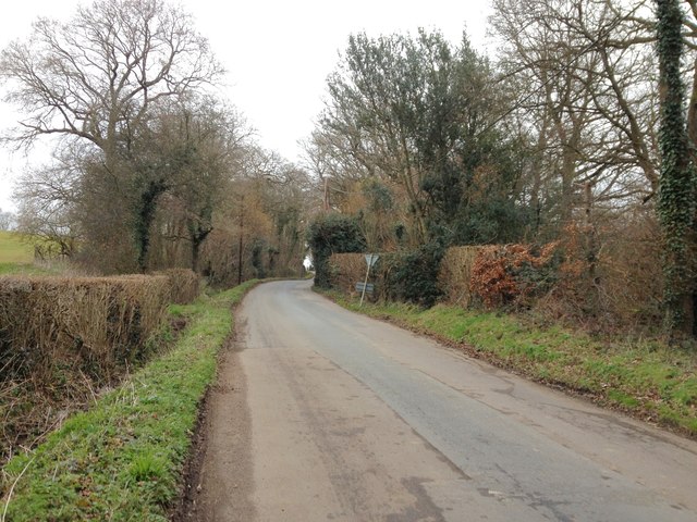
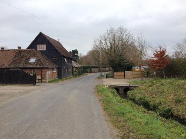
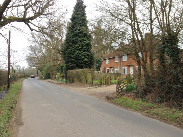
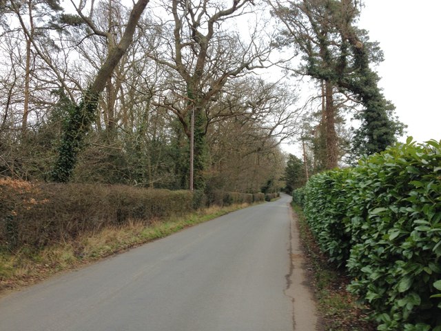
Wilderness Plantation, located in Kent, England, is a picturesque woodland area encompassing approximately 100 acres of stunning natural beauty. This enchanting forest, also known as Wilderness Wood, offers visitors a tranquil and immersive experience in the heart of nature.
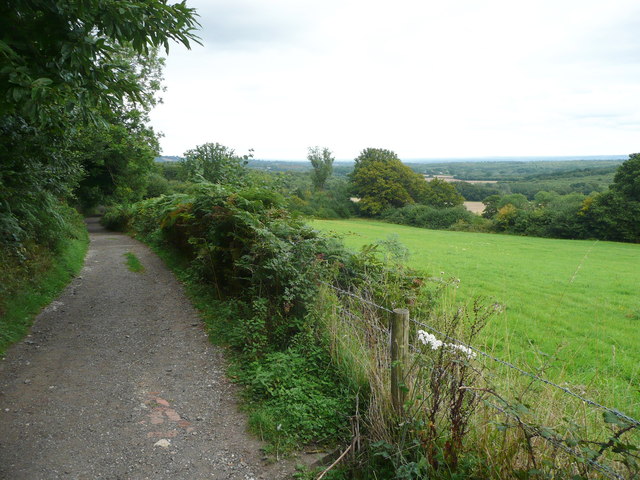
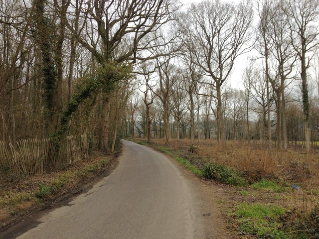
The plantation boasts a diverse range of plant species, including oak, beech, ash, and birch trees, creating a rich and vibrant ecosystem. The woodland floor is adorned with a colorful carpet of wildflowers, such as bluebells and primroses, further enhancing the area's charm.
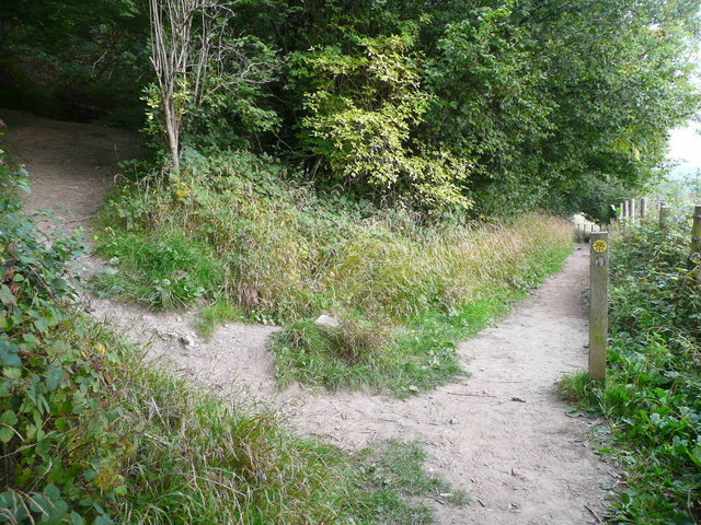
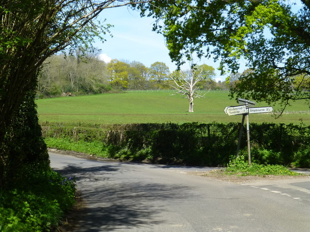
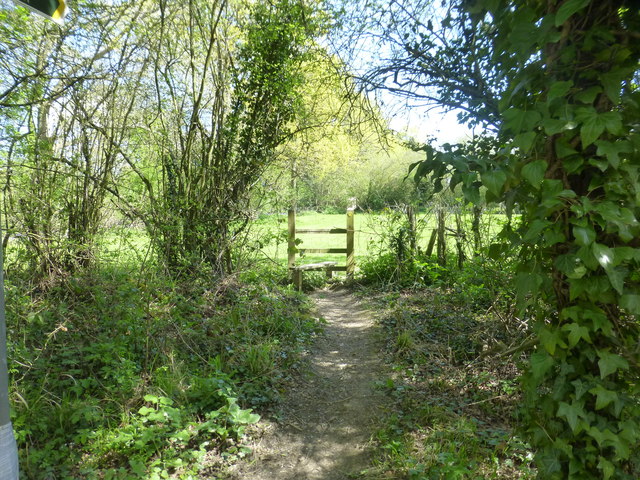
Visitors to Wilderness Plantation can explore the network of well-maintained walking trails that wind through the forest, allowing for a leisurely stroll or an invigorating hike. The paths are clearly marked, ensuring visitors can navigate the plantation with ease while taking in the breathtaking scenery.
For those interested in birdwatching, Wilderness Plantation is a haven for a variety of bird species. Birdsong fills the air as visitors may catch a glimpse of woodpeckers, nuthatches, and tawny owls among the treetops. The plantation also provides a habitat for other wildlife, including deer, rabbits, and squirrels, adding to the sense of wilderness and natural harmony.
Wilderness Plantation offers a range of facilities to enhance visitors' experience, including picnic areas, a café serving refreshments, and a gift shop where visitors can purchase locally sourced products and souvenirs.
Whether seeking solitude and tranquility or a family outing immersed in nature, Wilderness Plantation in Kent provides an idyllic escape from the hustle and bustle of everyday life.
If you have any feedback on the listing, please let us know in the comments section below.
Wilderness Plantation Images
Images are sourced within 2km of 51.237227/0.24838705 or Grid Reference TQ5751. Thanks to Geograph Open Source API. All images are credited.


Wilderness Plantation is located at Grid Ref: TQ5751 (Lat: 51.237227, Lng: 0.24838705)
Administrative County: Kent
District: Tonbridge and Malling
Police Authority: Kent
What 3 Words
///guises.vine.shine. Near Tonbridge, Kent
Nearby Locations
Related Wikis

Princess Christian's Farm
Princess Christian's Farm is an educational facility geared towards people with learning disabilities. The farm is run by a partnership with Kent County...
Underriver
Underriver is a village about 3 miles (5 km) south-east of Sevenoaks, Kent. It is in the civil parish of Seal. The name "Underriver" is derived from the...

One Tree Hill and Bitchet Common
One Tree Hill and Bitchet Common is a 79.2-hectare (196-acre) biological Site of Special Scientific Interest east of Sevenoaks in Kent. It is in Kent Downs...

Sackville School, Hildenborough
Sackville School is a small profit-making coeducational independent school located in the village of Hildenborough, in Kent, England. == History == Sackville...
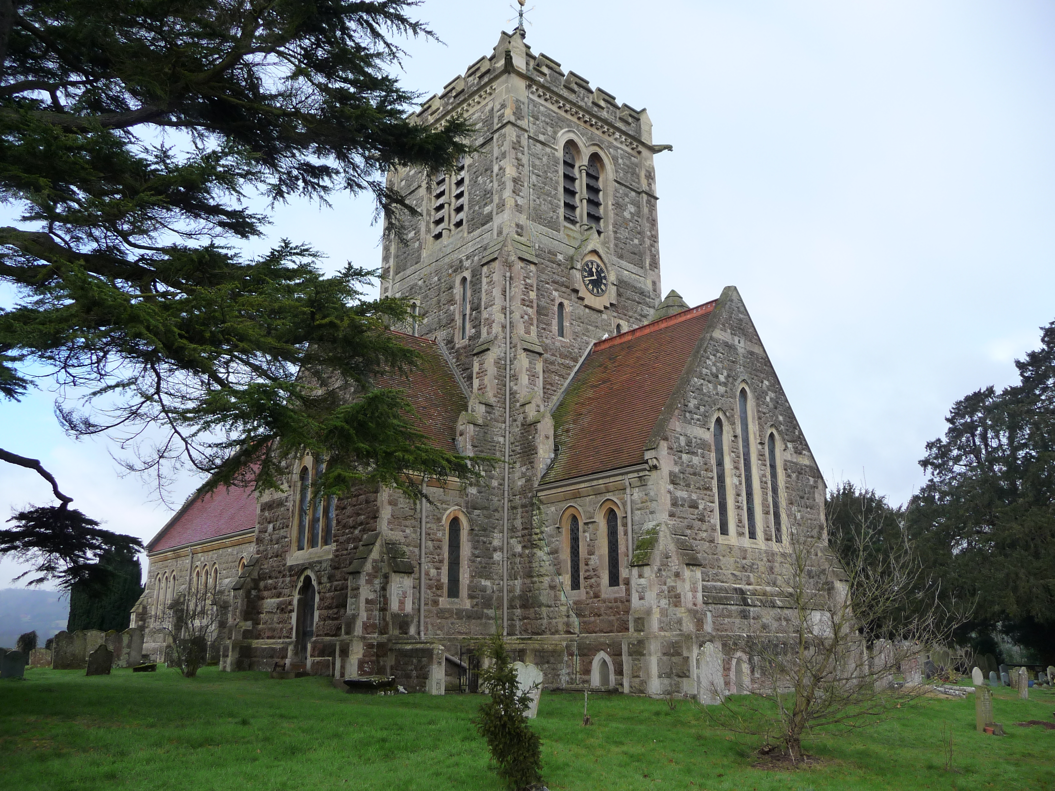
Hildenborough
Hildenborough is a village and rural parish in the borough of Tonbridge and Malling in Kent, England. It is located 2 miles (3.2 km) north-west of Tonbridge...

1927 KLM Fokker F.VIII crash
The 1927 KLM Fokker F.VIII crash happened on 22 August 1927 when Fokker F.VIII H-NADU of KLM crashed at Underriver, Kent, following structural failure...
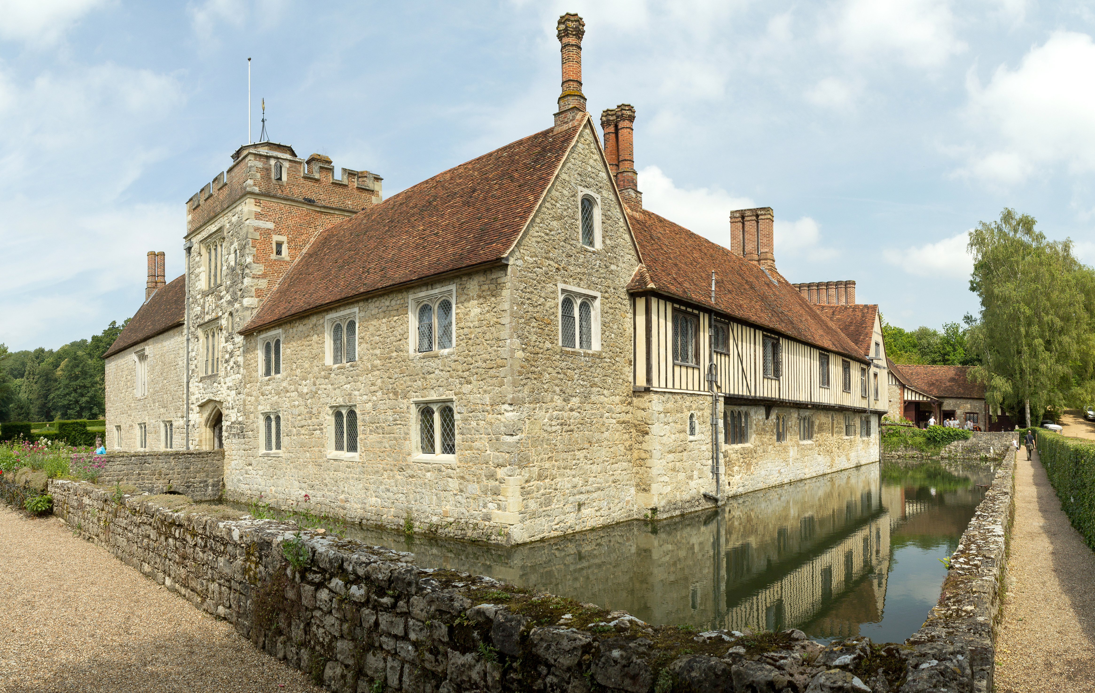
Ightham Mote
Ightham Mote (), at Ightham, is a medieval moated manor house in Kent, England. The architectural writer John Newman describes it as "the most complete...
Shipbourne
Shipbourne ( SHIB-ərn) is a village and civil parish situated between the towns of Sevenoaks and Tonbridge, in the borough of Tonbridge and Malling in...
Nearby Amenities
Located within 500m of 51.237227,0.24838705Have you been to Wilderness Plantation?
Leave your review of Wilderness Plantation below (or comments, questions and feedback).