An Fasadh Feàrna

Settlement in Argyllshire

Scotland

An Fasadh Feàrna

Estate road, Fassfern
Estate road, Fassfern Credit: Steven Brown

An Fasadh Feàrna, also known as Fearnan, is a small village located in Argyllshire, Scotland. Situated on the eastern shore of Loch Tay, it offers picturesque views of the surrounding mountainous landscape. The village is an ideal destination for nature enthusiasts, outdoor adventurers, and those seeking tranquility.

An Fasadh Feàrna is home to a close-knit community, with a population of approximately 200 residents. The village maintains a strong sense of pride in its Gaelic heritage, and visitors may have the opportunity to experience traditional Scottish culture and language.

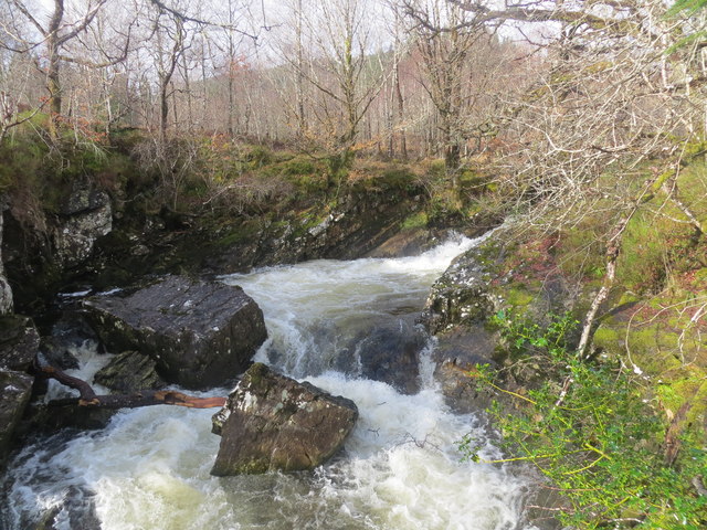
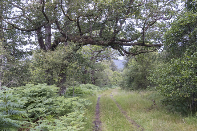
The village itself is characterized by charming cottages and historic buildings, some dating back several centuries. The local architecture reflects the traditional Scottish style, adding to the village's unique and authentic atmosphere. The nearby forested areas provide ample opportunities for walking, hiking, and birdwatching, with various trails suitable for all levels of fitness.

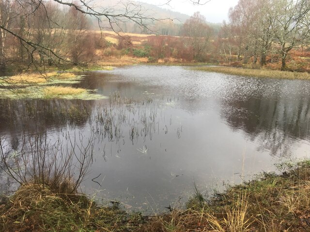
Loch Tay is a prominent feature of the landscape, and visitors can enjoy a range of water activities such as boating, fishing, and kayaking. The loch is also home to a diverse range of wildlife, including otters, ospreys, and even the occasional Golden Eagle.

For those interested in history, the area offers several notable sites, such as the ancient Fortingall Yew, one of the oldest trees in Europe, and the Scottish Crannog Centre, a reconstructed Iron Age dwelling. The village also hosts various events and festivals throughout the year, celebrating local traditions and culture.

An Fasadh Feàrna provides a peaceful and idyllic setting for visitors looking to immerse themselves in Scotland's natural beauty and rich history.

If you have any feedback on the listing, please let us know in the comments section below.

An Fasadh Feàrna Images

Images are sourced within 2km of 56.854934/-5.2552427 or Grid Reference NN0178. Thanks to Geograph Open Source API. All images are credited.

Estate road, Fassfern
Waterfall in An t-Suileag
Forestry track at the western edge of the forest
Tango on the Fassfern More properly known as An t-Suileag, the Scottish Whitewater guidebook defers to many people's ability (a tad on the poor side) to pronounce Gaelic and calls it the Fassfern, as most kayakers do. Though short (less than two kilometres from a put-in just above this point) and often in condition for only a few hours after heavy rain, it is full of interest. This is the hardest bit, and gets grade 5 in some guidebooks. The run in to the drop seen here is not straightforward, and it is critical to stay upright and make an eddy, as the river is then blocked by a large pinning rock just out of view to the right. A ferry across the jet and a line tight on river left then gets you down to easier water. Although this drop looks quite powerful in the photo, the level was dropping and this is barely enough to get down the river - most people would aim to run with a bit more water. However this was our second river of the day and a bit of an afterthought - with better planning we'd have done the Fassfern first and the Ailort second.
Tango on the Fassfern
More properly known as An t-Suileag, the Scottish Whitewater guidebook defers to many people's ability (a tad on the poor side) to pronounce Gaelic and calls it the Fassfern, as most kayakers do. Though short (less than two kilometres from a put-in just above this point) and often in condition for only a few hours after heavy rain, it is full of interest. This is the hardest bit, and gets grade 5 in some guidebooks. The run in to the drop seen here is not straightforward, and it is critical to stay upright and make an eddy, as the river is then blocked by a large pinning rock just out of view to the right. A ferry across the jet and a line tight on river left then gets you down to easier water. Although this drop looks quite powerful in the photo, the level was dropping and this is barely enough to get down the river - most people would aim to run with a bit more water. However this was our second river of the day and a bit of an afterthought - with better planning we'd have done the Fassfern first and the Ailort second.
The narrow gap between plantations in the SW corner of the square. A muddy All-Terrain Vehicle track leads up through this gap, giving access to the hills above.
The narrow gap between plantations in the SW corner of the square.
A muddy All-Terrain Vehicle track leads up through this gap, giving access to the hills above.
Sitka spruce plantation, Gleann Sùileag Dense plantations on the west side of Gleann Sùileag.
Sitka spruce plantation, Gleann Sùileag
Dense plantations on the west side of Gleann Sùileag.
Forest, Gleann Sùileag A recently felled area on the west side of Gleann Sùileag.
Forest, Gleann Sùileag
A recently felled area on the west side of Gleann Sùileag.
Forest above Gleann Sùileag Approaching a gap in the trees which leads down to tracks back to Fassfearn. Loch Eil in the background.
Forest above Gleann Sùileag
Approaching a gap in the trees which leads down to tracks back to Fassfearn. Loch Eil in the background.
Loch Eil shore at Corribeg The railway to Mallaig hugs the coast here.
Loch Eil shore at Corribeg
The railway to Mallaig hugs the coast here.
West Highland Line at Corribeg on Loch Eil
Lineside cottage near Locheilside Station
A830 at Corribeg
A830 at Corribeg
Small lochan near Fassfern
Forestry road near Fassfern
Mussel farming on Loch Eil
Trees on the shore of Loch Eil near Fassfern
Shingle foreshore on Loch Eil
Pasture on the shore of Loch Eil
Show me another place!

An Fasadh Feàrna is located at Grid Ref: NN0178 (Lat: 56.854934, Lng: -5.2552427)

Unitary Authority: Highland

Police Authority: Highlands and Islands

Also known as: Fassfern

What 3 Words

///flickers.orchids.tradition. Near Fort William, Highland

Related Wikis

Fassfern

Fassfern (Scottish Gaelic: An Fasadh Feàrna) is a hamlet on the north shore of Loch Eil in the Scottish Highlands, at the bottom of Glen Suileag and almost...

Loch Eil

Loch Eil (Scottish Gaelic: Loch Iall) is a sea loch in Lochaber, Scotland that opens into Loch Linnhe near the town of Fort William. Ardvorlich notes that...

Duisky

Duisky (Scottish Gaelic: Dubh-uisge – "black water", referring to the dark appearance of Loch Eil) is a small hamlet on the south shore of Loch Eil, directly...

Locheilside railway station

Locheilside railway station is a railway station on the northern shore of Loch Eil in the Highland Council Area of Scotland. This station is on the West...

Related Videos

Steam Train Locomotive Near Fassfern On History Visit To The Highlands Of Scotland

Tour Scotland short 4K travel video clip of the sight and sounds of a steam train locomotive on the West Highland Railway Line ...

Nearby Amenities

Located within 500m of 56.854934,-5.2552427
Bus Stop
Fassfern
Description: Bus Stop Shiel Buses
Lat/Long: 56.8548889/-5.25513
Power: pole
Lat/Long: 56.858644/-5.2521059
Power: pole
Lat/Long: 56.8574856/-5.2549785
Power: pole
Lat/Long: 56.8567113/-5.2568024
Power: pole
Lat/Long: 56.8561775/-5.2581194
Power: pole
Lat/Long: 56.8554926/-5.2598387
Power: pole
Lat/Long: 56.8552976/-5.2624726
The data included in this document is from www.openstreetmap.org. The data is made available under ODbL.

Have you been to An Fasadh Feàrna?

Leave your review of An Fasadh Feàrna below (or comments, questions and feedback).