Brickyard Shaw

Wood, Forest in Sussex Wealden

England

Brickyard Shaw

A267 to Five Ashes The A267 road is a 21 mile long road from Tunbridge Wells <a href="https://www.geograph.org.uk/photo/6669020">TQ5838 : A26, A267 junction</a> to Horsebridge.
Website: <span class="nowrap"><a title="http://www.sabre-roads.org.uk/wiki/index.php?title=A267" rel="nofollow ugc noopener" href="http://www.sabre-roads.org.uk/wiki/index.php?title=A267">Link</a><img style="margin-left:2px;" alt="External link" title="External link - shift click to open in new window" src="https://s1.geograph.org.uk/img/external.png" width="10" height="10"/></span>
A267 to Five Ashes Credit: N Chadwick

Brickyard Shaw, located in Sussex, is a picturesque woodland area known for its beautiful brickyard ruins and serene forest environment. Spanning over several hectares, this wood is a popular destination for nature enthusiasts, hikers, and history buffs alike.

The name "Brickyard Shaw" originates from the remnants of a brick-making industry that once thrived in the area during the 18th and 19th centuries. Visitors can still observe the decaying brick kilns, clay pits, and scattered bricks that serve as reminders of the region's industrial past.

The woodland itself boasts a diverse range of trees, including oak, beech, and birch, creating a dense canopy that offers shade and tranquility to those exploring its trails. The forest floor is adorned with a variety of flora, such as bluebells, primroses, and wild garlic, creating a vibrant and colorful backdrop during the spring and summer months.

Outdoor enthusiasts have the opportunity to enjoy several activities within Brickyard Shaw. The well-maintained footpaths and trails are perfect for leisurely walks, while more adventurous individuals can try their hand at mountain biking or horseback riding. The wood is also home to an abundance of wildlife, including deer, foxes, and various bird species, making it a popular spot for birdwatching and wildlife photography.

Overall, Brickyard Shaw in Sussex offers a unique blend of natural beauty and historical significance. Whether one is interested in exploring the ruins of a bygone industry or simply seeking solace in the tranquility of a beautiful forest, this woodland promises an unforgettable experience for visitors of all ages.

If you have any feedback on the listing, please let us know in the comments section below.

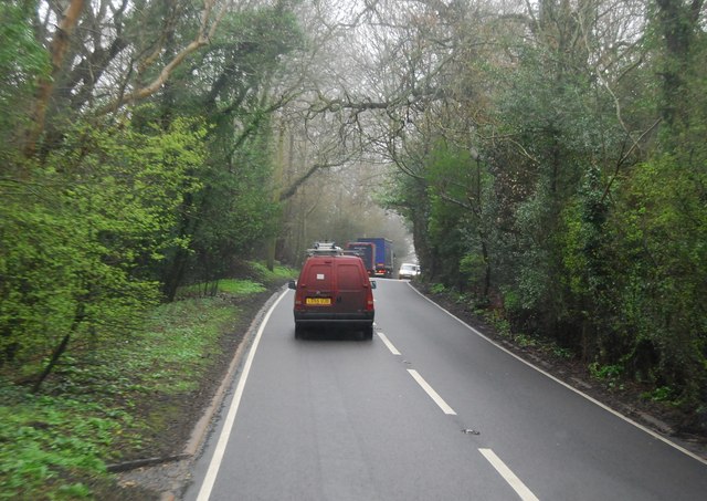
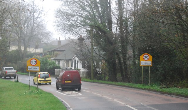
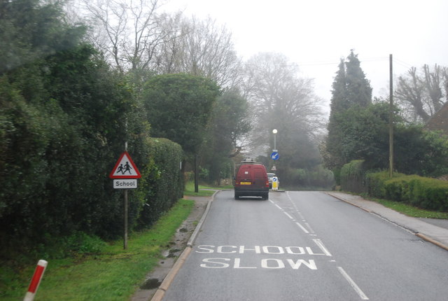
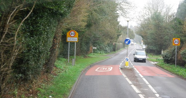
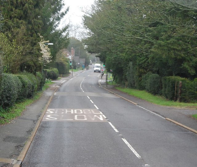
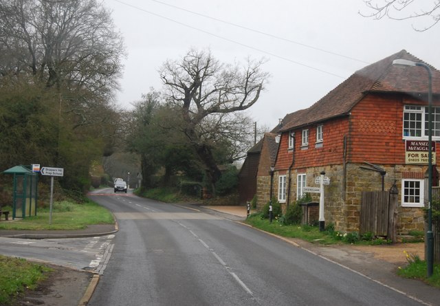
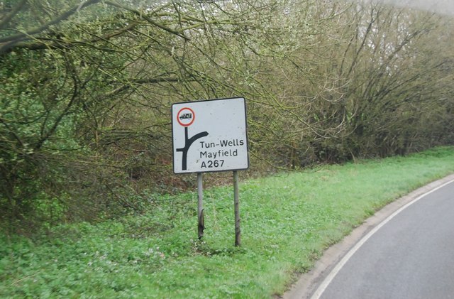
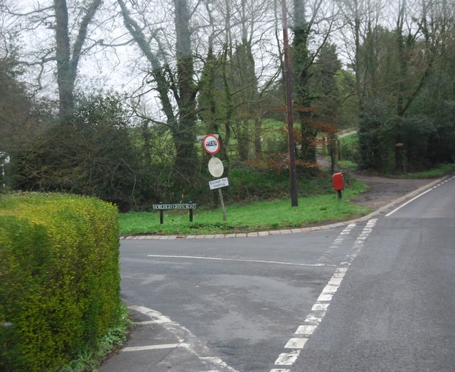
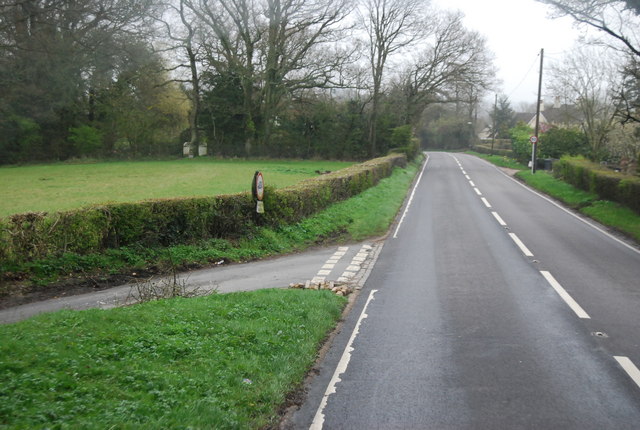
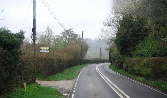
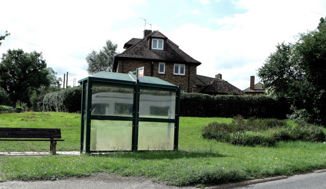
Brickyard Shaw Images

Images are sourced within 2km of 50.995036/0.23358088 or Grid Reference TQ5624. Thanks to Geograph Open Source API. All images are credited.

A267 to Five Ashes The A267 road is a 21 mile long road from Tunbridge Wells <a href="https://www.geograph.org.uk/photo/6669020">TQ5838 : A26, A267 junction</a> to Horsebridge.
Website: <span class="nowrap"><a title="http://www.sabre-roads.org.uk/wiki/index.php?title=A267" rel="nofollow ugc noopener" href="http://www.sabre-roads.org.uk/wiki/index.php?title=A267">Link</a><img style="margin-left:2px;" alt="External link" title="External link - shift click to open in new window" src="https://s1.geograph.org.uk/img/external.png" width="10" height="10"/></span>
A267 to Five Ashes
The A267 road is a 21 mile long road from Tunbridge Wells TQ5838 : A26, A267 junction to Horsebridge. Website: LinkExternal link
A267, Butcher's Cross The A267 road is a 21 mile long road from Tunbridge Wells <a href="https://www.geograph.org.uk/photo/6669020">TQ5838 : A26, A267 junction</a> to Horsebridge.
Website: <span class="nowrap"><a title="http://www.sabre-roads.org.uk/wiki/index.php?title=A267" rel="nofollow ugc noopener" href="http://www.sabre-roads.org.uk/wiki/index.php?title=A267">Link</a><img style="margin-left:2px;" alt="External link" title="External link - shift click to open in new window" src="https://s1.geograph.org.uk/img/external.png" width="10" height="10"/></span>
A267, Butcher's Cross
The A267 road is a 21 mile long road from Tunbridge Wells TQ5838 : A26, A267 junction to Horsebridge. Website: LinkExternal link
A267, entering Five Ashes The A267 road is a 21 mile long road from Tunbridge Wells <a href="https://www.geograph.org.uk/photo/6669020">TQ5838 : A26, A267 junction</a> to Horsebridge.
Website: <span class="nowrap"><a title="http://www.sabre-roads.org.uk/wiki/index.php?title=A267" rel="nofollow ugc noopener" href="http://www.sabre-roads.org.uk/wiki/index.php?title=A267">Link</a><img style="margin-left:2px;" alt="External link" title="External link - shift click to open in new window" src="https://s1.geograph.org.uk/img/external.png" width="10" height="10"/></span>
A267, entering Five Ashes
The A267 road is a 21 mile long road from Tunbridge Wells TQ5838 : A26, A267 junction to Horsebridge. Website: LinkExternal link
A267, Five Ashes The A267 road is a 21 mile long road from Tunbridge Wells <a href="https://www.geograph.org.uk/photo/6669020">TQ5838 : A26, A267 junction</a> to Horsebridge.
Website: <span class="nowrap"><a title="http://www.sabre-roads.org.uk/wiki/index.php?title=A267" rel="nofollow ugc noopener" href="http://www.sabre-roads.org.uk/wiki/index.php?title=A267">Link</a><img style="margin-left:2px;" alt="External link" title="External link - shift click to open in new window" src="https://s1.geograph.org.uk/img/external.png" width="10" height="10"/></span>
A267, Five Ashes
The A267 road is a 21 mile long road from Tunbridge Wells TQ5838 : A26, A267 junction to Horsebridge. Website: LinkExternal link
Frog Hole Lane / A267 junction
A267 / A272 junction The A267 road is a 21 mile long road from Tunbridge Wells <a href="https://www.geograph.org.uk/photo/6669020">TQ5838 : A26, A267 junction</a> to Horsebridge.
Website: <span class="nowrap"><a title="http://www.sabre-roads.org.uk/wiki/index.php?title=A267" rel="nofollow ugc noopener" href="http://www.sabre-roads.org.uk/wiki/index.php?title=A267">Link</a><img style="margin-left:2px;" alt="External link" title="External link - shift click to open in new window" src="https://s1.geograph.org.uk/img/external.png" width="10" height="10"/></span>
A267 / A272 junction
The A267 road is a 21 mile long road from Tunbridge Wells TQ5838 : A26, A267 junction to Horsebridge. Website: LinkExternal link
A267 heading north The A267 road is a 21 mile long road from Tunbridge Wells <a href="https://www.geograph.org.uk/photo/6669020">TQ5838 : A26, A267 junction</a> to Horsebridge.
Website: <span class="nowrap"><a title="http://www.sabre-roads.org.uk/wiki/index.php?title=A267" rel="nofollow ugc noopener" href="http://www.sabre-roads.org.uk/wiki/index.php?title=A267">Link</a><img style="margin-left:2px;" alt="External link" title="External link - shift click to open in new window" src="https://s1.geograph.org.uk/img/external.png" width="10" height="10"/></span>
A267 heading north
The A267 road is a 21 mile long road from Tunbridge Wells TQ5838 : A26, A267 junction to Horsebridge. Website: LinkExternal link
The A267 The A267 road is a 21 mile long road from Tunbridge Wells <a href="https://www.geograph.org.uk/photo/6669020">TQ5838 : A26, A267 junction</a> to Horsebridge.
Website: <span class="nowrap"><a title="http://www.sabre-roads.org.uk/wiki/index.php?title=A267" rel="nofollow ugc noopener" href="http://www.sabre-roads.org.uk/wiki/index.php?title=A267">Link</a><img style="margin-left:2px;" alt="External link" title="External link - shift click to open in new window" src="https://s1.geograph.org.uk/img/external.png" width="10" height="10"/></span>
The A267
The A267 road is a 21 mile long road from Tunbridge Wells TQ5838 : A26, A267 junction to Horsebridge. Website: LinkExternal link
Approaching the junction of the A267 and A272 The A267 road is a 21 mile long road from Tunbridge Wells <a href="https://www.geograph.org.uk/photo/6669020">TQ5838 : A26, A267 junction</a> to Horsebridge.
Website: <span class="nowrap"><a title="http://www.sabre-roads.org.uk/wiki/index.php?title=A267" rel="nofollow ugc noopener" href="http://www.sabre-roads.org.uk/wiki/index.php?title=A267">Link</a><img style="margin-left:2px;" alt="External link" title="External link - shift click to open in new window" src="https://s1.geograph.org.uk/img/external.png" width="10" height="10"/></span>
Approaching the junction of the A267 and A272
The A267 road is a 21 mile long road from Tunbridge Wells TQ5838 : A26, A267 junction to Horsebridge. Website: LinkExternal link
A267 south of Poundford The A267 road is a 21 mile long road from Tunbridge Wells <a href="https://www.geograph.org.uk/photo/6669020">TQ5838 : A26, A267 junction</a> to Horsebridge.
Website: <span class="nowrap"><a title="http://www.sabre-roads.org.uk/wiki/index.php?title=A267" rel="nofollow ugc noopener" href="http://www.sabre-roads.org.uk/wiki/index.php?title=A267">Link</a><img style="margin-left:2px;" alt="External link" title="External link - shift click to open in new window" src="https://s1.geograph.org.uk/img/external.png" width="10" height="10"/></span>
A267 south of Poundford
The A267 road is a 21 mile long road from Tunbridge Wells TQ5838 : A26, A267 junction to Horsebridge. Website: LinkExternal link
Entering Five Ashes on the A267 The A267 road is a 21 mile long road from Tunbridge Wells <a href="https://www.geograph.org.uk/photo/6669020">TQ5838 : A26, A267 junction</a> to Horsebridge.
Website: <span class="nowrap"><a title="http://www.sabre-roads.org.uk/wiki/index.php?title=A267" rel="nofollow ugc noopener" href="http://www.sabre-roads.org.uk/wiki/index.php?title=A267">Link</a><img style="margin-left:2px;" alt="External link" title="External link - shift click to open in new window" src="https://s1.geograph.org.uk/img/external.png" width="10" height="10"/></span>
Entering Five Ashes on the A267
The A267 road is a 21 mile long road from Tunbridge Wells TQ5838 : A26, A267 junction to Horsebridge. Website: LinkExternal link
A267 through Five Ashes The A267 road is a 21 mile long road from Tunbridge Wells <a href="https://www.geograph.org.uk/photo/6669020">TQ5838 : A26, A267 junction</a> to Horsebridge.
Website: <span class="nowrap"><a title="http://www.sabre-roads.org.uk/wiki/index.php?title=A267" rel="nofollow ugc noopener" href="http://www.sabre-roads.org.uk/wiki/index.php?title=A267">Link</a><img style="margin-left:2px;" alt="External link" title="External link - shift click to open in new window" src="https://s1.geograph.org.uk/img/external.png" width="10" height="10"/></span>
A267 through Five Ashes
The A267 road is a 21 mile long road from Tunbridge Wells TQ5838 : A26, A267 junction to Horsebridge. Website: LinkExternal link
Stone and tiled house, Criers Lane turn off
Road sign by the A267, Butcher's Cross
Horleigh Green Rd off the A267
A267, east of Butcher's Cross Horleigh Green Rd is coming in from the left.
A267, east of Butcher's Cross
Horleigh Green Rd is coming in from the left.
The A267 The A267 road is a 21 mile long road from Tunbridge Wells <a href="https://www.geograph.org.uk/photo/6669020">TQ5838 : A26, A267 junction</a> to Horsebridge.
Website: <span class="nowrap"><a title="http://www.sabre-roads.org.uk/wiki/index.php?title=A267" rel="nofollow ugc noopener" href="http://www.sabre-roads.org.uk/wiki/index.php?title=A267">Link</a><img style="margin-left:2px;" alt="External link" title="External link - shift click to open in new window" src="https://s1.geograph.org.uk/img/external.png" width="10" height="10"/></span>
The A267
The A267 road is a 21 mile long road from Tunbridge Wells TQ5838 : A26, A267 junction to Horsebridge. Website: LinkExternal link
Bus stop at Five Ashes, East Sussex
Show me another place!

Brickyard Shaw is located at Grid Ref: TQ5624 (Lat: 50.995036, Lng: 0.23358088)

Administrative County: East Sussex

District: Wealden

Police Authority: Sussex

What 3 Words

///spicy.thrones.unimpeded. Near Heathfield, East Sussex

Related Wikis

Wealden (UK Parliament constituency)

Wealden is a constituency represented in the House of Commons of the UK Parliament since 2015 by Nus Ghani, a Conservative. Ghani is the first Muslim woman...

Wealden District

Wealden is a local government district in East Sussex, England. Its council is based in Hailsham, the district's largest town. The district also includes...

Heathfield transmitting station

The Heathfield transmitting station is a facility for FM and television transmission at Heathfield, East Sussex, UK (grid reference TQ566220). Opened in...

Southern Sandstone

Southern Sandstone is a local name for the Ardingly Sandstone of southeast England, a soft sandstone of Cretaceous age separating the Tunbridge Wells Sands...

New Mill, Cross-in-Hand

New Mill is a Grade II* listed post mill at Cross in Hand near Heathfield, East Sussex, England. It was the last windmill working commercially by wind...

Cross-in-Hand

Cross-in-Hand is a small village outside Heathfield town to its west, in the Wealden District situated in East Sussex, England. It is occasionally referred...

Mayfield railway station

Mayfield was a railway station on the now closed Eridge to Polegate cross country line (the Cuckoo Line). It was built by London, Brighton and South Coast...

Great Bush Railway

The Great Bush Railway is a private, 2 ft (610 mm) narrow gauge running round the edge of Tinkers Park, Hadlow Down, Sussex. The railway is operated by...

Nearby Amenities

Located within 500m of 50.995036,0.23358088
Power: tower
Lat/Long: 50.9920859/0.2284813
Power: tower
Lat/Long: 50.9920217/0.23229
Power: tower
Lat/Long: 50.9919508/0.2366835
The data included in this document is from www.openstreetmap.org. The data is made available under ODbL.

Have you been to Brickyard Shaw?

Leave your review of Brickyard Shaw below (or comments, questions and feedback).