Caldicott's Wood

Wood, Forest in Sussex Wealden

England

Caldicott's Wood

Upper reaches of River Cuckmere Upper reaches of River Cuckmere at Hellingly
Upper reaches of River Cuckmere Credit: Terry Jones

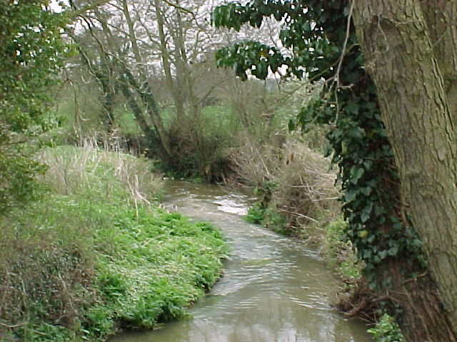
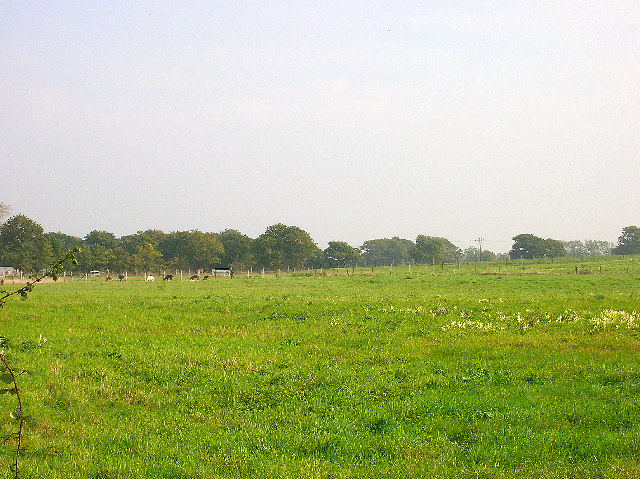
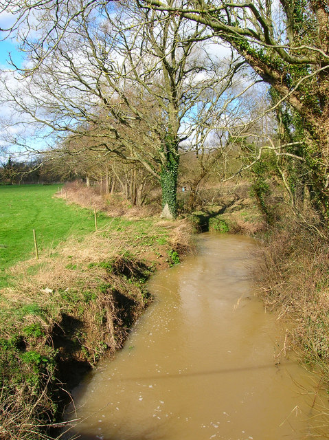
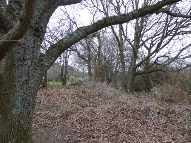
Caldicott's Wood is a captivating forest located in the picturesque county of Sussex, England. Spanning over a vast area of land, this wood is known for its enchanting beauty and diverse wildlife. It constitutes a mix of deciduous and coniferous trees, creating a harmonious blend of colors throughout the seasons.

The wood's remarkable landscape is home to a plethora of flora and fauna. Ancient oaks and beech trees tower over the forest floor, providing shelter and sustenance to a wide range of species. Bluebells and wildflowers carpet the woodland in spring, creating a vibrant tapestry of colors that attracts visitors from far and wide.

Nature enthusiasts and wildlife photographers frequent Caldicott's Wood for its abundant wildlife. Roe deer can often be spotted gracefully roaming through the trees, while squirrels scurry and play in the branches above. The forest is an important habitat for various bird species, including woodpeckers and owls, which fill the air with their melodic calls.

Caldicott's Wood is not only a haven for wildlife but also a popular destination for outdoor activities. Numerous trails wind their way through the forest, offering opportunities for hiking, jogging, and cycling. The wood also has designated picnic areas, where visitors can enjoy a leisurely lunch surrounded by nature's serenity.

With its captivating beauty and thriving ecosystem, Caldicott's Wood is a cherished natural gem in Sussex. It provides an escape from the hustle and bustle of everyday life, offering a tranquil haven where visitors can reconnect with nature and immerse themselves in the wonders of the woodland.

If you have any feedback on the listing, please let us know in the comments section below.

Caldicott's Wood Images

Images are sourced within 2km of 50.884306/0.22270692 or Grid Reference TQ5611. Thanks to Geograph Open Source API. All images are credited.

Upper reaches of River Cuckmere Upper reaches of River Cuckmere at Hellingly
Upper reaches of River Cuckmere
Upper reaches of River Cuckmere at Hellingly
Lower Horsebridge Looking east along the A271 and its junction with the B2104. Upper and Lower Horsebridge are named after the two bridges over the Cuckmere where the river splits.
Lower Horsebridge
Looking east along the A271 and its junction with the B2104. Upper and Lower Horsebridge are named after the two bridges over the Cuckmere where the river splits.
Coldharbour Road, Lower Dicker Looking north towards the junction with the A22.
Coldharbour Road, Lower Dicker
Looking north towards the junction with the A22.
Farmland, Coldharbour Road Looking east north east from Coldharbour Road near The Nurseries at a field of llamas.
Farmland, Coldharbour Road
Looking east north east from Coldharbour Road near The Nurseries at a field of llamas.
Quinces, Camberlot Road, near Upper Dicker Looking south. The cottage is just north of Clover Farm.
Quinces, Camberlot Road, near Upper Dicker
Looking south. The cottage is just north of Clover Farm.
Camberlot Farm Looking west from Camberlot Road.
Camberlot Farm
Looking west from Camberlot Road.
Eight Acre Wood Taken from Nash Street.
Eight Acre Wood
Taken from Nash Street.
Nash Street Wood Following the footpath that leads to Thunder Hill
Nash Street Wood
Following the footpath that leads to Thunder Hill
Barn, Nash Street Farm Taken from Nash Street.
Barn, Nash Street Farm
Taken from Nash Street.
Peacocks, Nash Street Farm My first peacock point too.
Peacocks, Nash Street Farm
My first peacock point too.
Tributary of the Cuckmere River, Lea Bridge Unnamed stream that joins the Cuckmere river south of Hellingly. Lea Bridge now carries the A267 to Heathfield.
Tributary of the Cuckmere River, Lea Bridge
Unnamed stream that joins the Cuckmere river south of Hellingly. Lea Bridge now carries the A267 to Heathfield.
View to World's End The trees mark the course of a stream whilst Nut Knowles Farm at World's End can be seen beyond. Typical Wealden countryside of woods, streams and farmland.
View to World's End
The trees mark the course of a stream whilst Nut Knowles Farm at World's End can be seen beyond. Typical Wealden countryside of woods, streams and farmland.
Broken Footbridge Taking the footpath from World's End to Boggy Wood. Had the choice of a two mile detour or a possible early bath.
Broken Footbridge
Taking the footpath from World's End to Boggy Wood. Had the choice of a two mile detour or a possible early bath.
Hawthbush Farm The trees at the bottom of the field follow the course of a stream whilst Riverfield Shaw is to the right. The field is also suffering the after effects of the previous night's downpour.
Hawthbush Farm
The trees at the bottom of the field follow the course of a stream whilst Riverfield Shaw is to the right. The field is also suffering the after effects of the previous night's downpour.
Motocross Circuit, Boggy Wood The circuit runs around the central areas of Boggy Wood the footpath diverted to accommodate it. Needless to say the wood lives up to its name.
Motocross Circuit, Boggy Wood
The circuit runs around the central areas of Boggy Wood the footpath diverted to accommodate it. Needless to say the wood lives up to its name.
Farmland North of Boggy Wood The wood is to the right whilst Broad Farm is just visible on the horizon.
Farmland North of Boggy Wood
The wood is to the right whilst Broad Farm is just visible on the horizon.
Footpath Junction, South of Boggy Wood The footpath to Perrylands Farm crosses a small footbridge on the lefthand side.
Footpath Junction, South of Boggy Wood
The footpath to Perrylands Farm crosses a small footbridge on the lefthand side.
Field near Hackhurst Stud Showing evidence of the previous night's downpour.
Field near Hackhurst Stud
Showing evidence of the previous night's downpour.
Show me another place!

Caldicott's Wood is located at Grid Ref: TQ5611 (Lat: 50.884306, Lng: 0.22270692)

Administrative County: East Sussex

District: Wealden

Police Authority: Sussex

What 3 Words

///regularly.encoded.arch. Near Hailsham, East Sussex

Related Wikis

Zoar Strict Baptist Chapel

Zoar Strict Baptist Chapel is a Strict Baptist place of worship in the hamlet of Lower Dicker in the English county of East Sussex. Founded in 1837 and...

Lower Dicker

Lower Dicker is a 0.1-hectare (0.25-acre) geological Site of Special Scientific Interest west of Hailsham in East Sussex. It is a Geological Conservation...

Horselunges Manor

Horselunges Manor is a 15th-century manor house in Hellingly, East Sussex, that was restored in the 20th century. The house was previously owned by Peter...

Hellingly

Hellingly (pronounced 'Helling-lye') is a village, and can also refer to a civil parish, and to a district ward, in the Wealden District of East Sussex...

Hellingly railway station

Hellingly was a railway station on the now closed Polegate to Eridge line (the Cuckoo Line) in East Sussex. It served the village of Hellingly. ��2�...

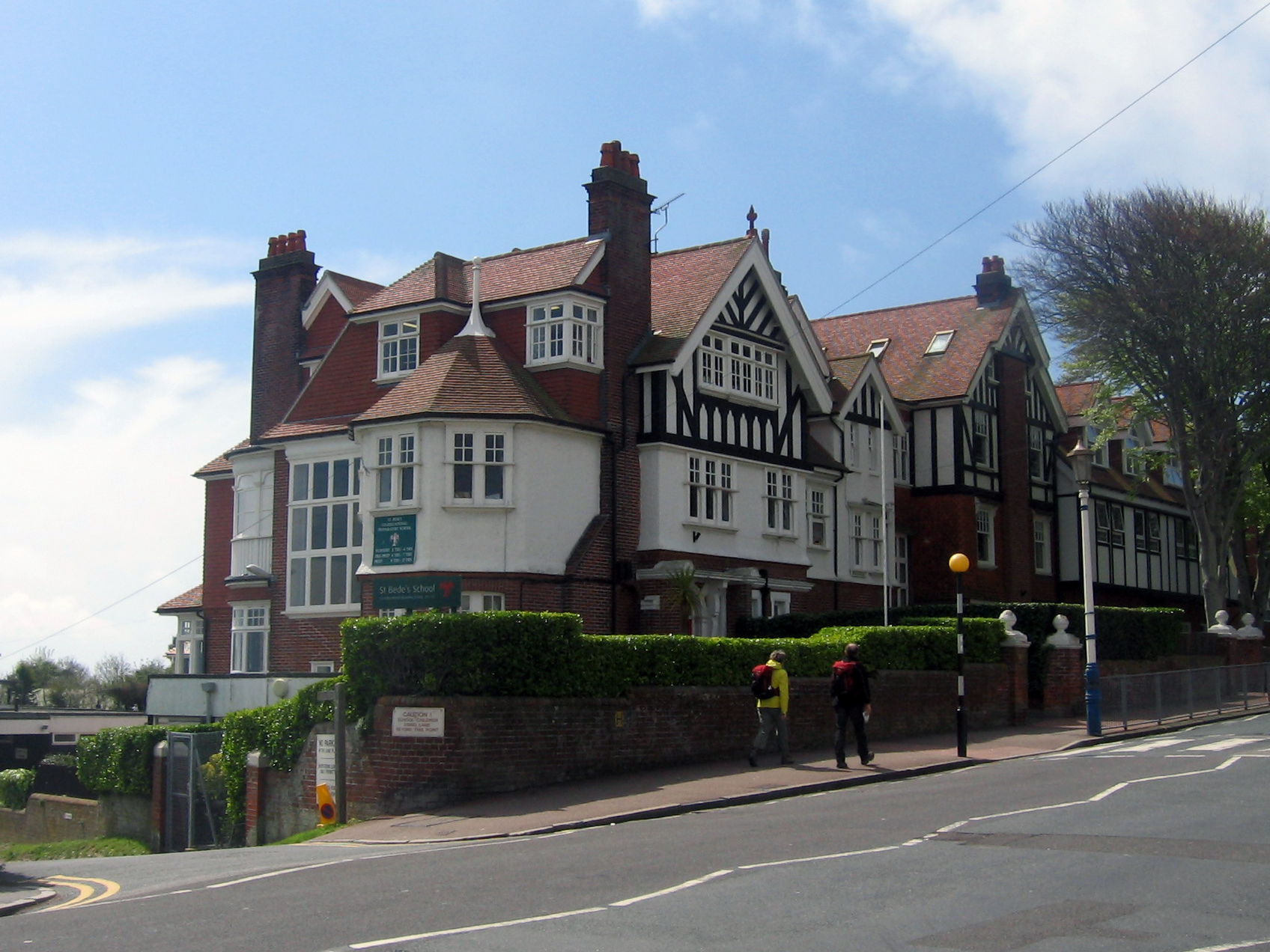
Bede's School, Eastbourne

Bede's School (until 2012, known as St Bede's School), consists of a preparatory school and pre-preparatory nursery in Holywell, Meads, Eastbourne, East...

Farleys House

Farleys House near Chiddingly, East Sussex, has been converted into a museum and archive featuring the lives and work of its former residents, the photographer...
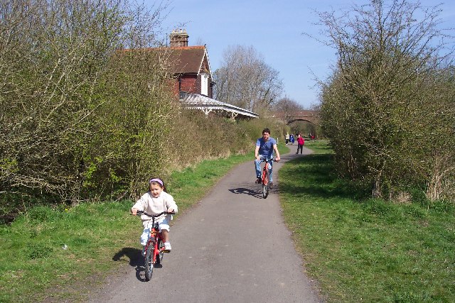
Cuckoo Trail

The Cuckoo Trail is a 14-mile (23 km) footpath and cycleway which runs from Hampden Park to Heathfield in East Sussex. It passes through the towns of Polegate...

Nearby Amenities

Located within 500m of 50.884306,0.22270692
Post Box
Collection Times: Mo-Fr 09:00; Sa 07:00
Post Box Type: wall
Ref: BN27 902D
Royal Cypher: GR
Royal Cypher Wikidata: Q33102273
Lat/Long: 50.8802702/0.2221362
Lower Dicker
Place: village
Source Name: OS_OpenData_Streetview
Wikidata: Q6693447
Wikipedia: en:Lower Dicker
Lat/Long: 50.8808877/0.2221209
AMC Sales Centre
Shop: yes
Lat/Long: 50.8818774/0.2172563
Addr Housename: West view
Addr Street: The Dicker
Building: house
Lat/Long: 50.881563/0.2180636
Addr Housename: Meadowfield
Building: house
Lat/Long: 50.8816309/0.2177227
Power: pole
Lat/Long: 50.8831248/0.2164945
Power: pole
Lat/Long: 50.8826188/0.2181682
Power: pole
Lat/Long: 50.8813158/0.2272797
Knights Farm
Place: farm
Lat/Long: 50.8804862/0.2263139
Barrier: stile
Lat/Long: 50.8835424/0.2219495
Barrier: stile
Lat/Long: 50.8839473/0.2250143
Barrier: stile
Lat/Long: 50.8842984/0.227429
The data included in this document is from www.openstreetmap.org. The data is made available under ODbL.

Have you been to Caldicott's Wood?

Leave your review of Caldicott's Wood below (or comments, questions and feedback).