Hadstock Wood

Wood, Forest in Essex Uttlesford

England

Hadstock Wood

Hadstock The village green. Looking east from the northeast corner of the grid square.
Hadstock Credit: Alan Simkins

Hadstock Wood is a picturesque woodland located in the county of Essex, England. Covering an area of approximately 100 acres, it is a popular destination for nature enthusiasts and outdoor lovers. The woodland is part of the larger Hatfield Forest, which is managed by the National Trust.

Hadstock Wood boasts a diverse range of flora and fauna, making it a haven for wildlife. The woodland is predominantly composed of oak and hornbeam trees, which create a lush, green canopy during the summer months. In addition to these dominant species, visitors can also spot beech, birch, and hazel trees scattered throughout the woodland.

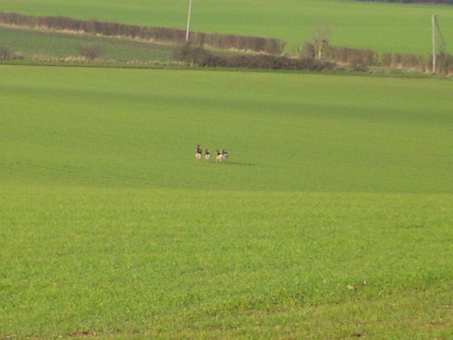
The forest floor is carpeted with a variety of wildflowers, including bluebells, wood anemones, and primroses, providing a vibrant burst of color in springtime. Numerous bird species can be found within the wood, including woodpeckers, nuthatches, and tawny owls. Visitors may also be lucky enough to catch a glimpse of deer, foxes, and badgers that call Hadstock Wood their home.

Several well-maintained footpaths and trails wind through the woodland, offering visitors an opportunity to explore the natural beauty at their own pace. These paths provide access to various points of interest, including a tranquil pond, ancient trees, and scenic viewpoints.

Hadstock Wood is not only a haven for wildlife but also a peaceful retreat for those seeking solace in nature. The tranquil atmosphere, coupled with its stunning natural scenery, makes it a perfect destination for a leisurely walk, picnic, or simply to immerse oneself in the beauty of the Essex countryside.

If you have any feedback on the listing, please let us know in the comments section below.

Hadstock Wood Images

Images are sourced within 2km of 52.076131/0.2741042 or Grid Reference TL5544. Thanks to Geograph Open Source API. All images are credited.

Hadstock The village green. Looking east from the northeast corner of the grid square.
Hadstock
The village green. Looking east from the northeast corner of the grid square.
Icknield way path leading to Linton Linton water tower on the horizon at about 110m.
Icknield way path leading to Linton
Linton water tower on the horizon at about 110m.
FDL, Hadstock Common, Essex These buildings belong to a company called Fuerst Day Lawson.
FDL, Hadstock Common, Essex
These buildings belong to a company called Fuerst Day Lawson.
St. Botolph's church, Hadstock, Essex This is a very interesting church, which contains rare evidence of an 11th century building. It has remains of Saxon transepts, which are a rarity. Other parts are 14th century. The church stands on high ground at the centre of the village.
St. Botolph's church, Hadstock, Essex
This is a very interesting church, which contains rare evidence of an 11th century building. It has remains of Saxon transepts, which are a rarity. Other parts are 14th century. The church stands on high ground at the centre of the village.
RAF Little Walden This is the Control Tower of RAF Little Walden. It is probably the best-preserved WW2 airfield tower in Essex. It began its operational life in March 1944 with the USAAF 409th Bomb Group flying A20's, other types that operated from here included P51 Mustang, and B17's. The airfield was returned to the RAF in 1946 and finally decommissioned in 1958. To go to the next field in an alphabetical tour of Essex WW2 airfields click on <a href="https://www.geograph.org.uk/photo/260801">TL5512 : Matching Aerodrome</a>. Much information was gleaned from Graham Smith’s book “Essex Airfields In The Second World War”.
<span class="nowrap"><a title="https://books.google.co.uk/books/about/Essex_Airfields_in_the_Second_World_War.html?id=u3atAAAACAAJ&redir_esc=y" rel="nofollow ugc noopener" href="https://books.google.co.uk/books/about/Essex_Airfields_in_the_Second_World_War.html?id=u3atAAAACAAJ&redir_esc=y">Link</a><img style="margin-left:2px;" alt="External link" title="External link - shift click to open in new window" src="https://s1.geograph.org.uk/img/external.png" width="10" height="10"/></span>
RAF Little Walden
This is the Control Tower of RAF Little Walden. It is probably the best-preserved WW2 airfield tower in Essex. It began its operational life in March 1944 with the USAAF 409th Bomb Group flying A20's, other types that operated from here included P51 Mustang, and B17's. The airfield was returned to the RAF in 1946 and finally decommissioned in 1958. To go to the next field in an alphabetical tour of Essex WW2 airfields click on TL5512 : Matching Aerodrome. Much information was gleaned from Graham Smith’s book “Essex Airfields In The Second World War”. LinkExternal link
Trig on Mitchells Farm This triangulation pillar stands on the byway from Mitchells Farm to the trig point. After this point the road becomes a footpath.
Trig on Mitchells Farm
This triangulation pillar stands on the byway from Mitchells Farm to the trig point. After this point the road becomes a footpath.
Peri Track to Monks Hall This is the road to Monks Hall and Bowsers, it exactly follows the path of the perimeter track of <a href="https://www.geograph.org.uk/photo/221842">TL5543 : RAF Little Walden</a>.
Peri Track to Monks Hall
This is the road to Monks Hall and Bowsers, it exactly follows the path of the perimeter track of TL5543 : RAF Little Walden.
Monks Farm It is possible these blister style buildings on Monks farm are contemporary with <a href="https://www.geograph.org.uk/photo/221842">TL5543 : RAF Little Walden</a> however I would be willing to bet a few geograph points the rectangular building behind them is a military building of 1940’s vintage.
Monks Farm
It is possible these blister style buildings on Monks farm are contemporary with TL5543 : RAF Little Walden however I would be willing to bet a few geograph points the rectangular building behind them is a military building of 1940’s vintage.
Little Walden Path This bridle path follows the perimeter track of <a href="https://www.geograph.org.uk/photo/221842">TL5543 : RAF Little Walden</a> as far as the hedge it then takes a sharp left turn and disappears through the trees.
Little Walden Path
This bridle path follows the perimeter track of TL5543 : RAF Little Walden as far as the hedge it then takes a sharp left turn and disappears through the trees.
Iknield Way Trig This Triangulation Pillar is just off the Iknield Way long distance footpath. At this point it follows the Essex Cambridgeshire border. The pillar is a few metres into Cambridgeshire.
Iknield Way Trig
This Triangulation Pillar is just off the Iknield Way long distance footpath. At this point it follows the Essex Cambridgeshire border. The pillar is a few metres into Cambridgeshire.
Esxbridgshire This is the Icknield Way long-distance footpath. At this point it follows the Essex/Cambridgeshire border. Cambridgeshire is to the left and Essex is to the right.
Esxbridgshire
This is the Icknield Way long-distance footpath. At this point it follows the Essex/Cambridgeshire border. Cambridgeshire is to the left and Essex is to the right.
Harrison Sayer Reserve This is one of two surviving fuel tanks of <a href="https://www.geograph.org.uk/photo/221842">TL5543 : RAF Little Walden</a> they are located on the Harrison Sayer nature reserve this is run by Essex Wildlife Trust see <span class="nowrap"><a title="http://www.essexwt.org.uk/" rel="nofollow ugc noopener" href="http://www.essexwt.org.uk/">Link</a><img style="margin-left:2px;" alt="External link" title="External link - shift click to open in new window" src="https://s1.geograph.org.uk/img/external.png" width="10" height="10"/></span> for more info. The building in the background is <a href="https://www.geograph.org.uk/photo/200416">TL5543 : FDL, Hadstock Common, Essex</a> Continue on a virtual tour of Wildlife Trust Reserves in Essex by visiting <a href="https://www.geograph.org.uk/photo/1319878">TQ5099 : Hawksmere Springs</a>
Harrison Sayer Reserve
This is one of two surviving fuel tanks of TL5543 : RAF Little Walden they are located on the Harrison Sayer nature reserve this is run by Essex Wildlife Trust see LinkExternal link for more info. The building in the background is TL5543 : FDL, Hadstock Common, Essex Continue on a virtual tour of Wildlife Trust Reserves in Essex by visiting TQ5099 : Hawksmere Springs
Ploughed earth above Barham Hall Cottages The edge of the grid with the dirt in the foreground barely within the grid.
Ploughed earth above Barham Hall Cottages
The edge of the grid with the dirt in the foreground barely within the grid.
Pheasants at sunset. Sorry about the grittiness.  Digital optical zoom has poor resolution.
Pheasants at sunset.
Sorry about the grittiness. Digital optical zoom has poor resolution.
Water tank at New Farm Cottages The wood in the distance is Thirty Three Acre Covert.
Water tank at New Farm Cottages
The wood in the distance is Thirty Three Acre Covert.
Deer in flight.
Deer in flight.
Bunker 3 clicks Northwest of the United States Air Base, disused.
Bunker
3 clicks Northwest of the United States Air Base, disused.
Show me another place!

Hadstock Wood is located at Grid Ref: TL5544 (Lat: 52.076131, Lng: 0.2741042)

Administrative County: Essex

District: Uttlesford

Police Authority: Essex

What 3 Words

///sofas.gashes.surveyors. Near Linton, Cambridgeshire

Nearby Locations

Hadstock Wood

Related Wikis

Hadstock

Hadstock is a village in Essex, England, about 6 miles (10 km) from Saffron Walden. It is on the county boundary with Cambridgeshire and about 9 miles...
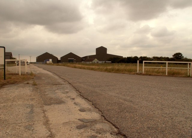
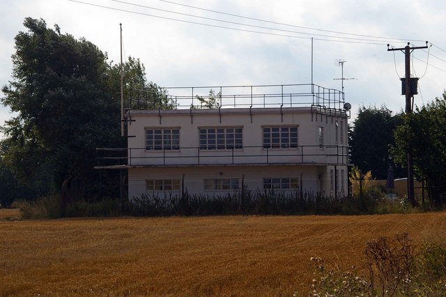
RAF Little Walden

Royal Air Force Little Walden or more simply RAF Little Walden is a former Royal Air Force station primarily used by the United States Army Air Forces...

Nunn Wood

Nunn Wood is a 9.7-hectare (24-acre) biological Site of Special Scientific Interest between Great Chesterford and Ashdon in Essex, England.The site is...

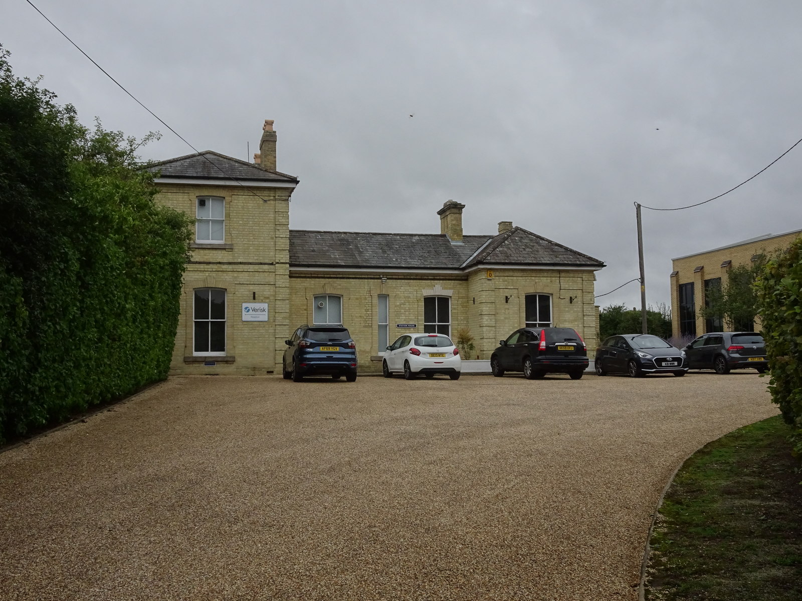
Linton railway station (Cambridgeshire)

Linton railway station was a railway station in Linton, Cambridgeshire on the Stour Valley Railway. It closed in 1967. The station house is H-shaped and...

Barham Friary

Barham Friary was a Crutched Friars friary in Linton, Cambridgeshire, England. It was established around 1272 and was dissolved in 1538. == References ==

Bartlow railway station

Bartlow railway station was a station in Bartlow, Cambridgeshire on the Stour Valley Railway at the junction with the Saffron Walden Railway. There were...

Linton Village College

Linton Village College is a secondary school in Linton, South Cambridgeshire, England. Established in 1937 as a village college, the school now has academy...

Linton, Cambridgeshire

Linton is a village and civil parish in Cambridgeshire, England, on the border with Essex. The village is approximately 8 miles (13 km) southeast from...

Nearby Amenities

Located within 500m of 52.076131,0.2741042
Source: npe
Lat/Long: 52.0803992/0.2739543
Source: npe
Lat/Long: 52.0792635/0.272261
Created By: POI Editor
Source: npe
Lat/Long: 52.0790258/0.271993
Created By: POI Editor
Source: npe
Lat/Long: 52.0772519/0.2718236
Hadstock
Created By: POI Editor
Is In: Essex,England,UK
Place: village
Source: npe
Lat/Long: 52.0800611/0.2739753
Bus Stop
The Library
Naptan AtcoCode: 150018025003
Naptan Bearing: N
Naptan BusStopType: CUS
Naptan CommonName: The Library
Naptan Indicator: o/s
Naptan Landmark: The Library
Naptan NaptanCode: esxdatdt
Naptan Street: Walden Road
Naptan Verified: no
Public Transport: platform
Source: naptan_import
Lat/Long: 52.0784216/0.2716266
Bus Stop
The Kings Head
Naptan AtcoCode: 1500IM2027
Naptan Bearing: NW
Naptan BusStopType: CUS
Naptan CommonName: The Kings Head
Naptan Indicator: o/s
Naptan Landmark: The Kings Head
Naptan NaptanCode: esxdatdw
Naptan Street: Linton Road
Naptan Verified: no
Public Transport: platform
Source: naptan_import
Lat/Long: 52.0805302/0.2737332
Bus Stop
The Kings Head
Naptan AtcoCode: 1500IM2027AA
Naptan Bearing: SE
Naptan BusStopType: CUS
Naptan CommonName: The Kings Head
Naptan Indicator: Opp
Naptan Landmark: The Kings Head
Naptan NaptanCode: esxgpdwt
Naptan Street: Linton Road
Naptan Verified: no
Shelter: no
Source: naptan_import
Lat/Long: 52.0805996/0.2738466
Public Bookcase
Defibrillator
Booth: K6
Covered: booth
Defibrillator Location: in old red phone box (now used as book exchange) next to the green, Hadstock
Disused Amenity: telephone
Emergency: defibrillator
Listed Status: Grade II
Man Made: telephone_box
Public Bookcase Type: phone_box
Lat/Long: 52.0802573/0.2742168
Bench
Backrest: yes
Material: wood
Lat/Long: 52.0791767/0.2732103
Man Made: village_sign
Lat/Long: 52.0802503/0.2743797
The data included in this document is from www.openstreetmap.org. The data is made available under ODbL.

Have you been to Hadstock Wood?

Leave your review of Hadstock Wood below (or comments, questions and feedback).