Smithfield Shaw
Wood, Forest in Sussex Wealden
England
Smithfield Shaw

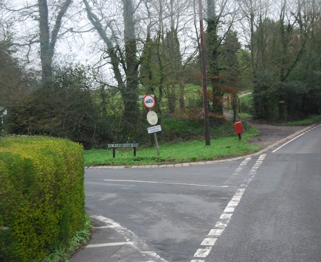
Smithfield Shaw is a charming woodland area located in the county of Sussex, England. Situated in the heart of the countryside, this picturesque forest offers a haven of tranquility and natural beauty. The woods are a mix of both deciduous and evergreen trees, creating a diverse and vibrant ecosystem.
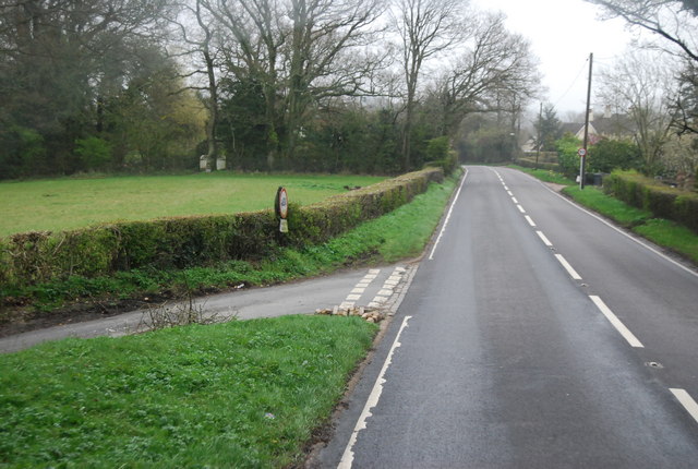
Covering an area of approximately 100 acres, Smithfield Shaw is a popular destination for nature enthusiasts and outdoor enthusiasts alike. The forest boasts an extensive network of walking trails and paths, allowing visitors to explore the area at their own pace. These trails wind through the dense vegetation, leading to hidden clearings, babbling brooks, and breathtaking viewpoints.
One of the standout features of Smithfield Shaw is its rich wildlife. The forest is home to a variety of animal species, including deer, foxes, badgers, and a wide range of birdlife. Nature lovers will delight in the opportunity to observe these creatures in their natural habitat.
For those seeking a peaceful retreat, Smithfield Shaw offers several picnic spots and seating areas, allowing visitors to relax and immerse themselves in the serenity of the surroundings. Additionally, the forest is equipped with basic amenities such as parking facilities and public toilets.
Smithfield Shaw is a true gem of Sussex, offering a slice of unspoiled nature for all to enjoy. Whether one wishes to embark on a leisurely stroll, spot wildlife, or simply unwind amidst the beauty of the woodland, this enchanting forest promises an unforgettable experience for all who visit.
If you have any feedback on the listing, please let us know in the comments section below.
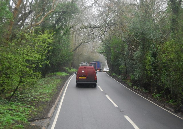
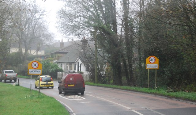
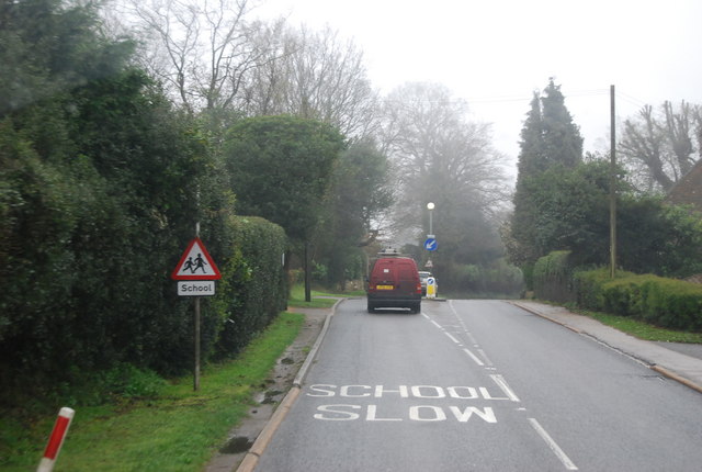
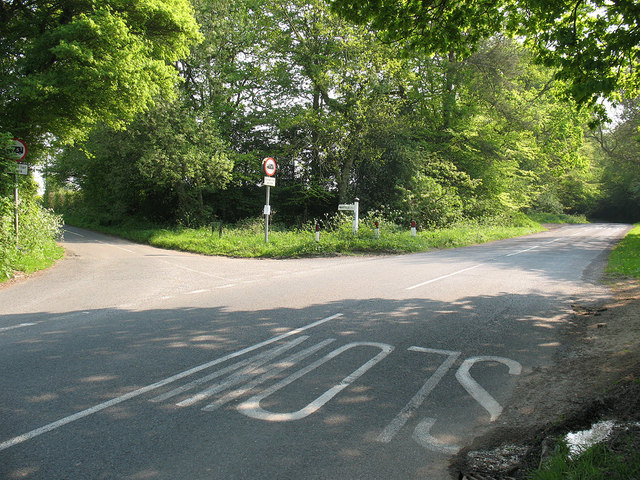
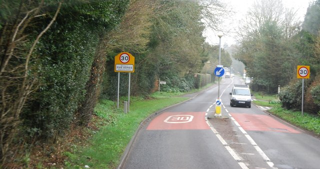
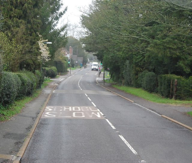
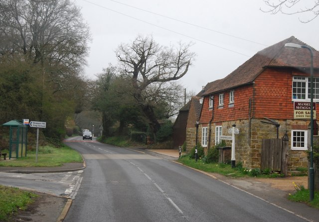
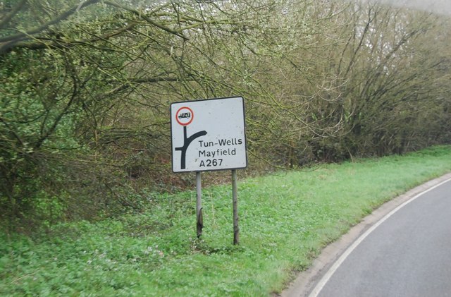
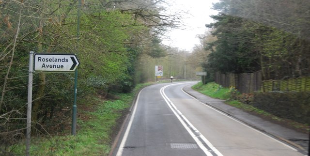
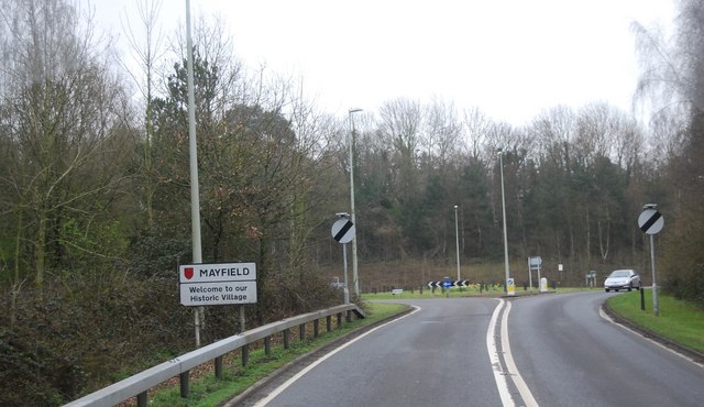
Smithfield Shaw Images
Images are sourced within 2km of 51.013469/0.22106482 or Grid Reference TQ5526. Thanks to Geograph Open Source API. All images are credited.


Smithfield Shaw is located at Grid Ref: TQ5526 (Lat: 51.013469, Lng: 0.22106482)
Administrative County: East Sussex
District: Wealden
Police Authority: Sussex
What 3 Words
///held.orchestra.column. Near Town Row, East Sussex
Nearby Locations
Related Wikis

Wealden (UK Parliament constituency)
Wealden is a constituency represented in the House of Commons of the UK Parliament since 2015 by Nus Ghani, a Conservative. Ghani is the first Muslim woman...

Wealden District
Wealden is a local government district in East Sussex, England. Its council is based in Hailsham, the district's largest town. The district also includes...

Mayfield railway station
Mayfield was a railway station on the now closed Eridge to Polegate cross country line (the Cuckoo Line). It was built by London, Brighton and South Coast...

Southern Sandstone
Southern Sandstone is a local name for the Ardingly Sandstone of southeast England, a soft sandstone of Cretaceous age separating the Tunbridge Wells Sands...

Argos Hill Mill, Mayfield
Argos Hill Mill is a grade II* listed post mill at Argos Hill, Mayfield, East Sussex, England As of 2017 it is in the process of restoration by the Argos...
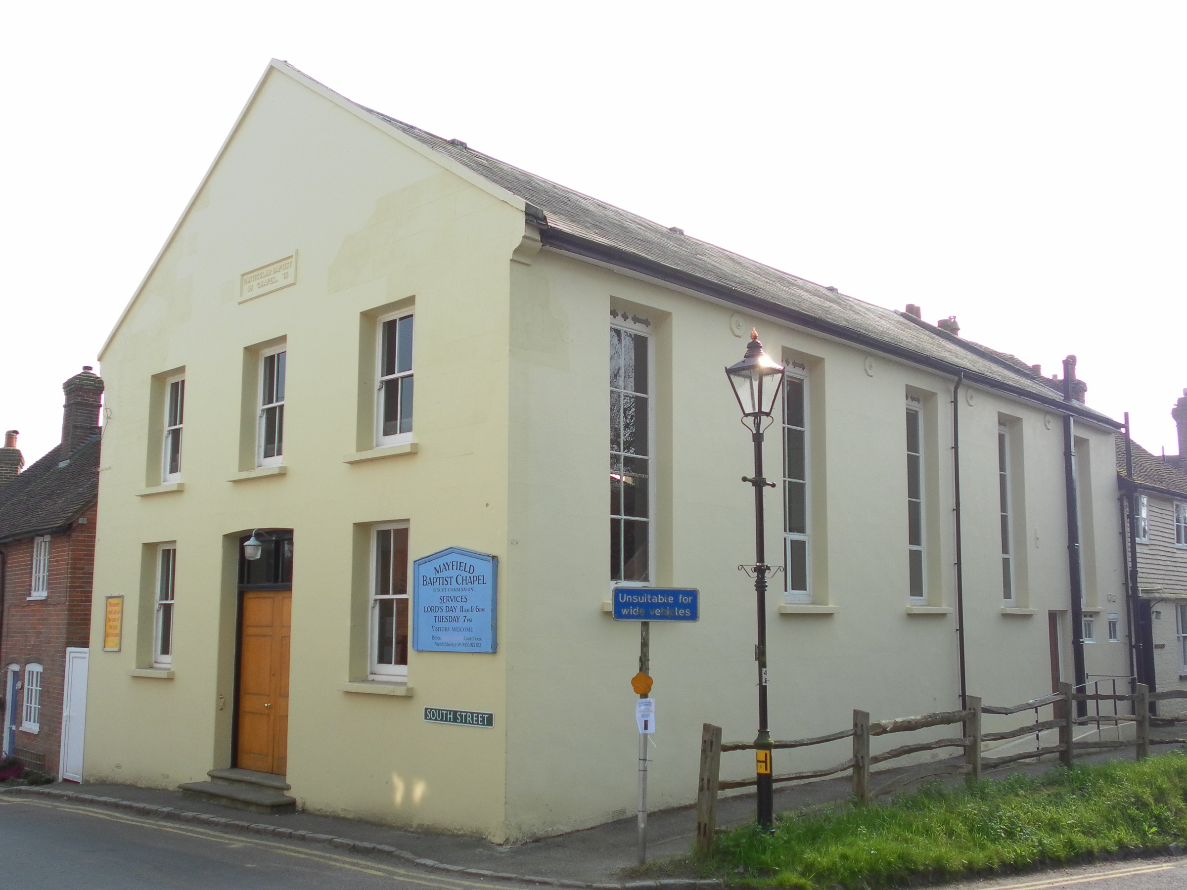
Mayfield Baptist Chapel
Mayfield Baptist Chapel, also known as Mayfield Strict Baptist Chapel, is a place of worship for Gospel Standard Strict Baptists in the village of Mayfield...
Mayfield and Five Ashes
Mayfield and Five Ashes is a civil parish in the High Weald of East Sussex, England. The two villages making up the principal part of the parish lie on...

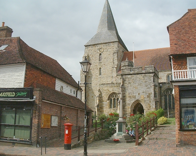
St Dunstan's Church, Mayfield
St Dunstan's, Mayfield in Mayfield, East Sussex was founded in 960 CE by St Dunstan, who was then Archbishop of Canterbury. It is reported as being originally...
Related Videos

Tinkers Park 25th Sept 2021
Some video from the Steam Show here.

Great Bush Railway UK. Narrow Gauge Railway. Tinkers Park. Cab Ride Orenstein and Koppel 0-6-0 UK.
Tinkers Park. Great Bush Industrial Narrow Gauge Railway. Orenstein and Koppel 0-6-0 Cab Ride. A great 2 foot British Narrow ...
The Great Bush Railway - Tinkers Park (4k)
A visit arranged by the Narrow Gauge Railway Society to Great Bush Railway. Loco driving lessons included ! The video contains ...

Tinkers Park Steam Rally - Saturday 5th June 2021
55th Anniversary of the show. Tinkers Park didn't go ahead last year because of the Covid-19 Pandemic. I'm not sure of whether ...
Nearby Amenities
Located within 500m of 51.013469,0.22106482Have you been to Smithfield Shaw?
Leave your review of Smithfield Shaw below (or comments, questions and feedback).