Marchant's Wood
Wood, Forest in Sussex Wealden
England
Marchant's Wood
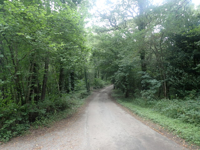
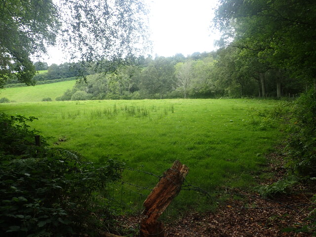
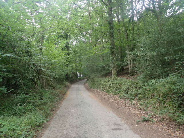
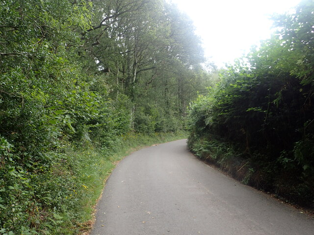
Marchant's Wood is a charming wooded area located in Sussex, England. Spread across a vast expanse, this wood is known for its natural beauty and rich biodiversity. It is situated in the heart of the Sussex countryside, offering visitors a peaceful and tranquil environment.
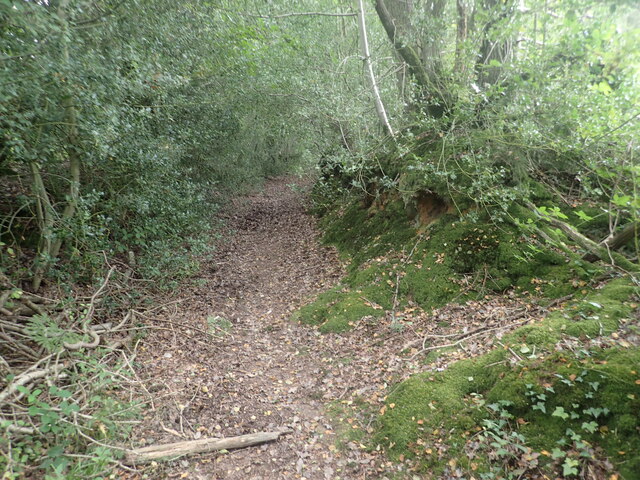
The wood is predominantly made up of native broadleaf trees such as oak, beech, and birch, which create a dense canopy overhead. This creates a cool and shaded atmosphere, perfect for escaping the summer heat. The forest floor is covered in a carpet of lush green moss, ferns, and wildflowers, adding to the overall picturesque setting.
Marchant's Wood is a haven for wildlife, attracting a diverse range of species. The wood is home to various birds such as woodpeckers, owls, and songbirds, which can be heard chirping and singing throughout the day. Visitors may also spot small mammals like foxes, badgers, and rabbits, as well as reptiles and amphibians like snakes and frogs.
The wood offers several walking trails, allowing visitors to explore its natural wonders at their own pace. These trails wind through the towering trees, offering glimpses of scenic viewpoints and secluded spots. It is a popular destination for nature enthusiasts, hikers, and families looking to enjoy a day in the great outdoors.
Marchant's Wood is a true gem of Sussex, offering a peaceful retreat from the hustle and bustle of everyday life. With its stunning beauty and abundant wildlife, it is a must-visit destination for anyone seeking a connection with nature.
If you have any feedback on the listing, please let us know in the comments section below.
Marchant's Wood Images
Images are sourced within 2km of 51.074012/0.21928039 or Grid Reference TQ5532. Thanks to Geograph Open Source API. All images are credited.


Marchant's Wood is located at Grid Ref: TQ5532 (Lat: 51.074012, Lng: 0.21928039)
Administrative County: East Sussex
District: Wealden
Police Authority: Sussex
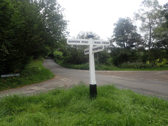
What 3 Words
///waistcoat.spotty.cloth. Near Town Row, East Sussex
Nearby Locations
Related Wikis

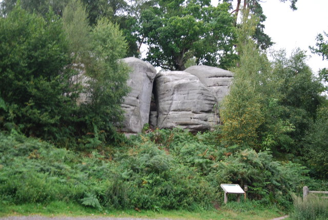
Bowles Rocks
Bowles Rocks is a sandstone crag in the county of East Sussex, on the border with Kent, approximately 8 kilometres (5 mi) south of the town of Royal Tunbridge...

Bowles Outdoor Centre
Bowles Outdoor Centre is an outdoor education/outdoor learning centre in southeast England, located between Royal Tunbridge Wells and Crowborough at Bowles...

Eridge railway station
Eridge railway station is on the Uckfield branch of the Oxted line in southern England and serves a rural district around Eridge in East Sussex. It is...

Eridge Park
Eridge Park () is a village and historic park located north of the parish of Rotherfield, to the north-east of Crowborough in East Sussex, England. The...

Rotherfield and Mark Cross railway station
Rotherfield and Mark Cross (also Rotherfield) is the name of a closed station on the Eridge - Heathfield - Polegate railway (the Cuckoo Line) in East Sussex...
Eridge Green
Eridge Green is a 8.4-hectare (21-acre) biological Site of Special Scientific Interest north-east of Crowborough in East Sussex. It is part of the 44 hectares...

St Joseph's College, Mark Cross
St Joseph's College was a Roman Catholic minor seminary in Mark Cross, outside Rotherfield in East Sussex. It was designed by Edward Pugin and the site...
Jameah Islameah School
Jameah Islameah School was an independent Islamic school in East Sussex. The school was located on a 54 acre site and had residential facilities to house...
Nearby Amenities
Located within 500m of 51.074012,0.21928039Have you been to Marchant's Wood?
Leave your review of Marchant's Wood below (or comments, questions and feedback).