Bonnetts Wood
Wood, Forest in Essex
England
Bonnetts Wood

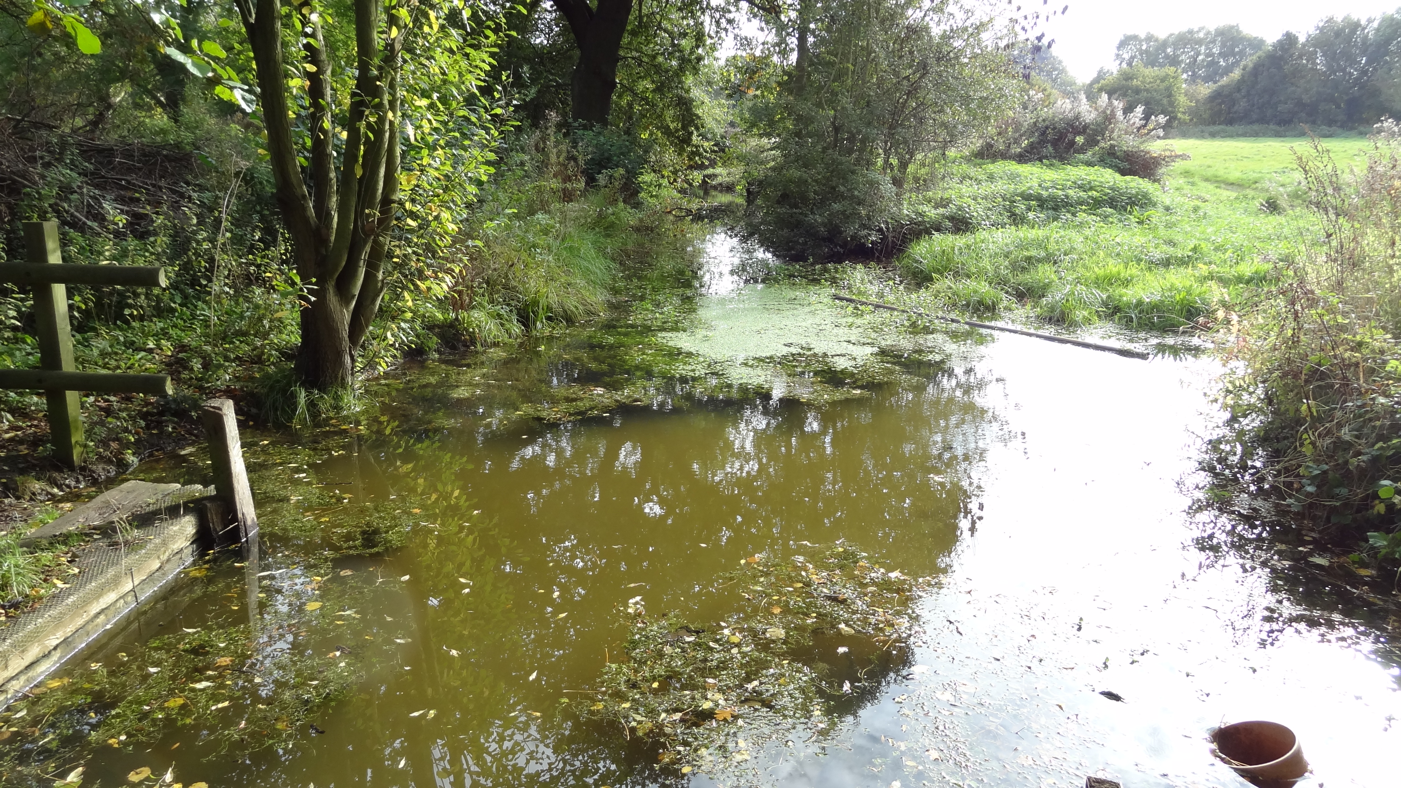
Bonnetts Wood is a stunning woodland area located in the county of Essex, England. Covering an area of approximately 40 hectares, the wood is part of the larger Epping Forest district and is surrounded by a variety of natural habitats and diverse flora and fauna.
The wood is predominantly made up of native broadleaf trees, including oak, beech, birch, and hornbeam. These trees create a dense canopy that provides shade and shelter for a range of woodland plants and animals. Bluebells, wood anemones, and primroses are just a few of the wildflowers that bloom in abundance during spring, creating a vibrant and colorful carpet across the forest floor.
Bonnetts Wood is home to a rich array of wildlife, with many species finding sanctuary within its boundaries. Birdwatchers will delight in the sight of woodpeckers, nuthatches, and tawny owls, while mammal enthusiasts may spot foxes, badgers, and even the elusive muntjac deer. The wood is also known for its wide variety of insects and butterflies, making it a haven for entomologists and nature enthusiasts alike.
Visitors to Bonnetts Wood can enjoy a peaceful and serene atmosphere, perfect for walking, picnicking, or simply immersing oneself in nature. There are well-maintained footpaths that wind through the wood, allowing visitors to explore its many hidden corners and discover its natural wonders. The wood is also equipped with information boards that provide insights into the local wildlife and the history of the area.
Overall, Bonnetts Wood is a true gem of Essex, offering a tranquil retreat for nature lovers and a haven for biodiversity in the heart of the county.
If you have any feedback on the listing, please let us know in the comments section below.
Bonnetts Wood Images
Images are sourced within 2km of 51.537506/0.24002638 or Grid Reference TQ5584. Thanks to Geograph Open Source API. All images are credited.


Bonnetts Wood is located at Grid Ref: TQ5584 (Lat: 51.537506, Lng: 0.24002638)
Unitary Authority: Havering
Police Authority: Metropolitan
What 3 Words
///outfit.mason.cards. Near Upminster, London
Nearby Locations
Related Wikis

Hacton
Hacton is a small dispersed settlement in Greater London, England, located within the London Borough of Havering and in East London, and beyond London...
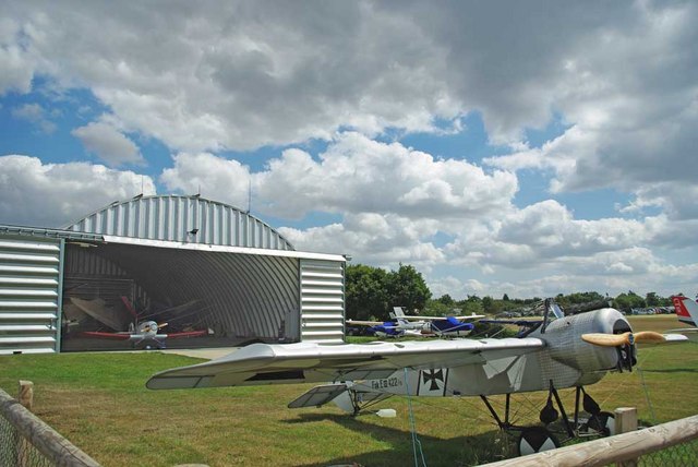
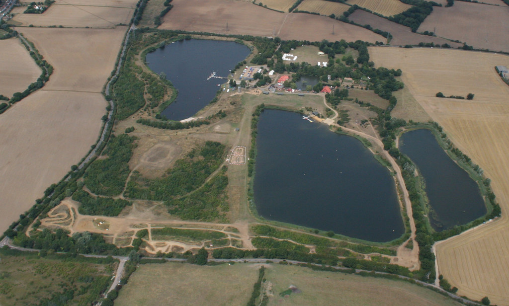
Damyns Hall Aerodrome
Damyns Hall Aerodrome (ICAO: EGML) is an operational general aviation training and experience aerodrome 2 nautical miles (3.7 km; 2.3 mi) south of Upminster...
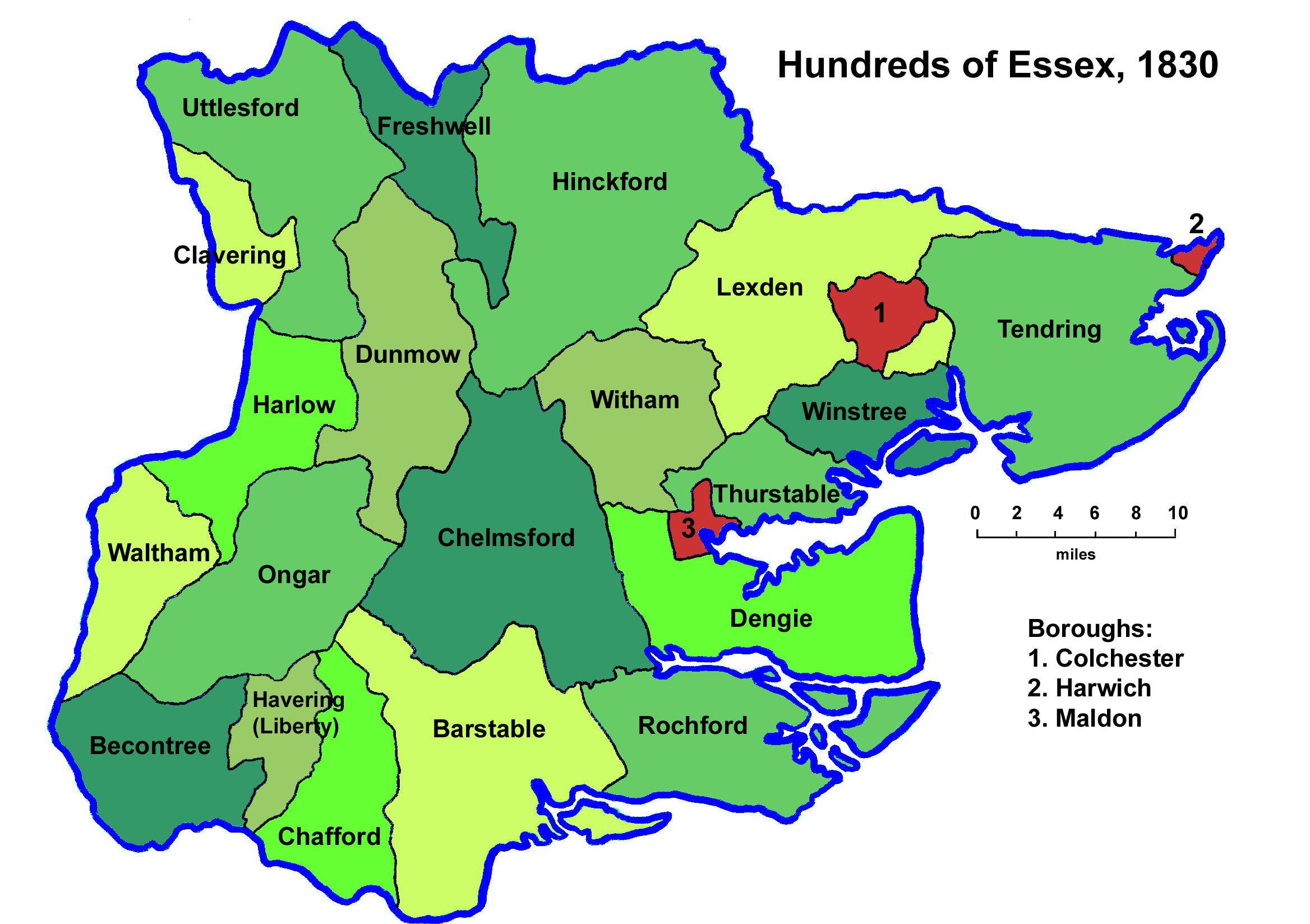
Hundred of Chafford
Chafford was an ancient hundred in the south west of the county of Essex, England. Its area has been partly absorbed by the growth of London; with its...

Gaynes School
Gaynes School is a coeducational secondary school situated on Brackendale Gardens, Upminster, in the London Borough of Havering, London, England.Opened...
Cranham Marsh
Cranham Marsh is a 15.3 hectare Local Nature Reserve and a Site of Metropolitan Importance for Nature Conservation in Cranham in the London Borough of...

St George's Hospital, Havering
St George's Hospital was a hospital on Suttons Lane in Hornchurch in the London Borough of Havering, in northeast London, England. It opened in 1938 and...
Stubbers
Stubbers was a stately home in North Ockendon, Essex, England. The house was demolished in 1955 and the grounds became the Stubbers Activity Centre in...
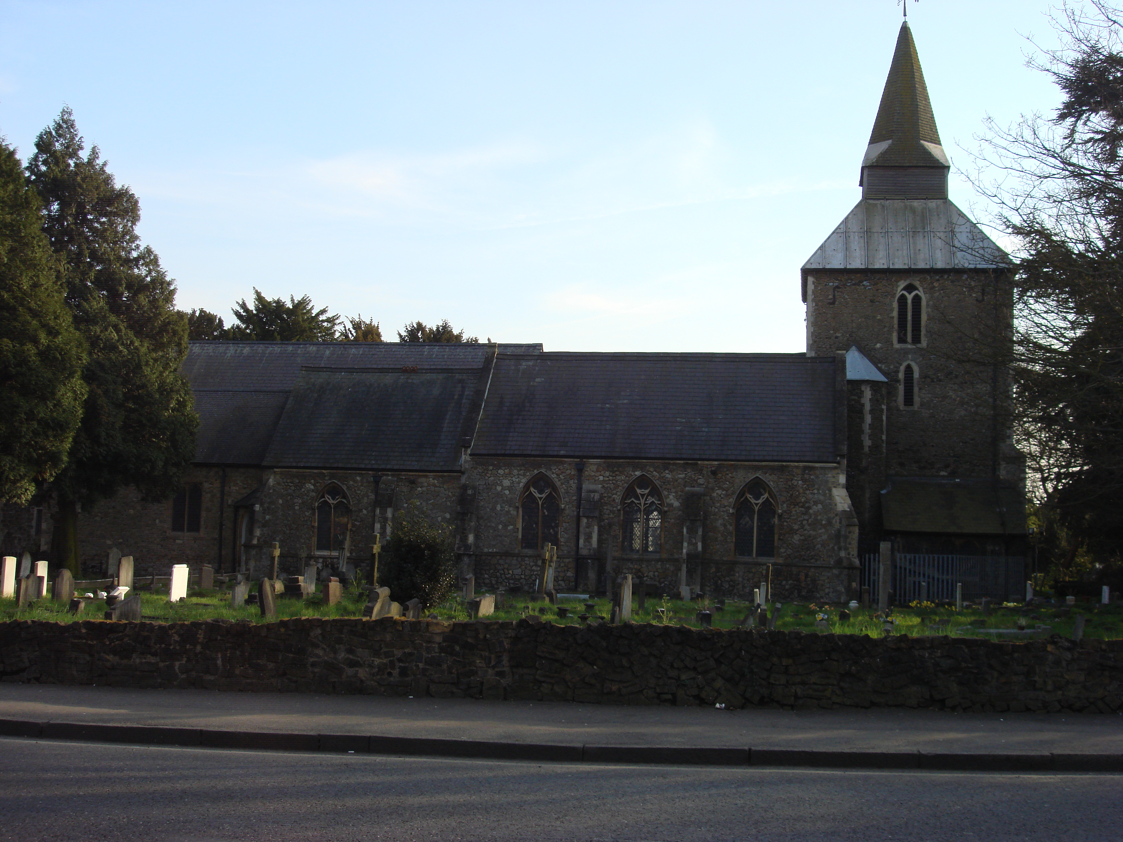
Church of St Laurence, Upminster
The church of St Laurence, Upminster, is the Church of England parish church in Upminster, England. It is a Grade I listed building. It is the historic...
Nearby Amenities
Located within 500m of 51.537506,0.24002638Have you been to Bonnetts Wood?
Leave your review of Bonnetts Wood below (or comments, questions and feedback).