Brocton's Plantation
Wood, Forest in Essex Uttlesford
England
Brocton's Plantation

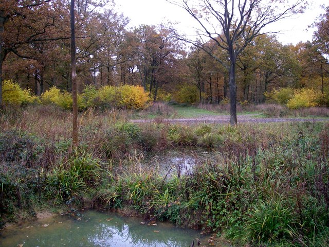
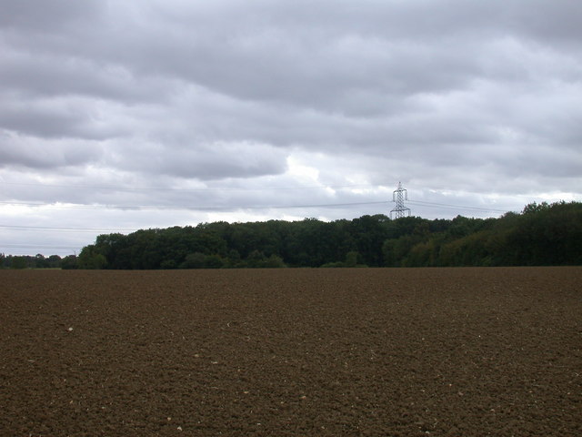
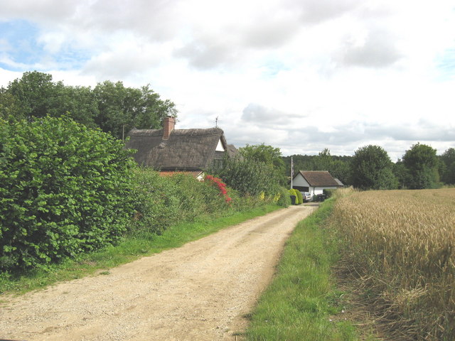
Located in the county of Essex, England, Brocton's Plantation is a picturesque woodland area nestled within the vast expanse of the Brocton Estate. Covering an area of approximately 50 acres, this enchanting forest is known for its diverse ecosystem, stunning flora, and tranquil ambiance.
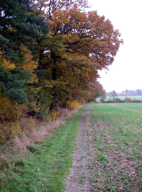
Brocton's Plantation is characterized by a rich variety of tree species, including oak, beech, ash, and birch, which create a lush canopy overhead. The forest floor is adorned with an array of colorful wildflowers, ferns, and moss, providing a vibrant tapestry of natural beauty. Numerous walking trails wind their way through the woodland, offering visitors an opportunity to explore the plantation's hidden gems and appreciate its serene atmosphere.
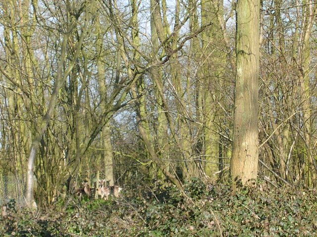
The plantation also boasts a diverse wildlife population, with many species finding refuge within its boundaries. Birdwatchers can spot a myriad of avian species, such as woodpeckers, owls, and various songbirds. Small mammals, such as squirrels and rabbits, are a common sight darting through the undergrowth, while larger creatures like deer and foxes occasionally make appearances.
Brocton's Plantation is a popular destination for nature enthusiasts, hikers, and photographers seeking solace in its natural splendor. Its proximity to the bustling town of Brocton makes it easily accessible for day trips or longer excursions. The plantation's remarkable beauty, coupled with its tranquil ambiance, offers a respite from the hustle and bustle of daily life, making it a cherished gem within the Essex countryside.
If you have any feedback on the listing, please let us know in the comments section below.
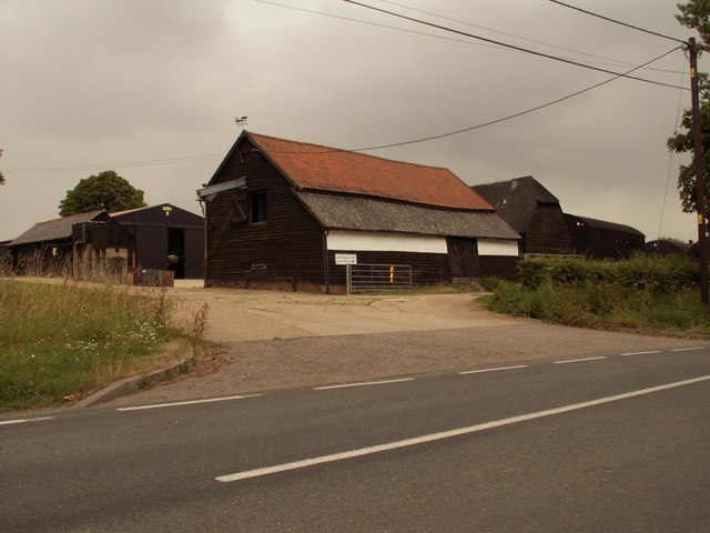
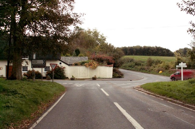
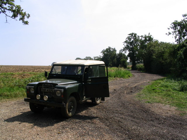
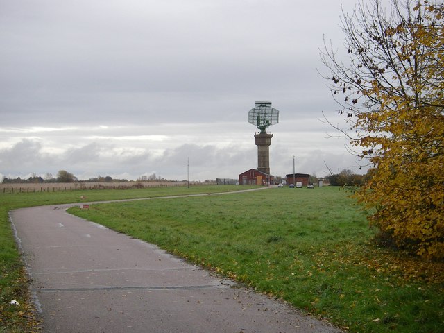
Brocton's Plantation Images
Images are sourced within 2km of 51.973147/0.26121183 or Grid Reference TL5532. Thanks to Geograph Open Source API. All images are credited.


Brocton's Plantation is located at Grid Ref: TL5532 (Lat: 51.973147, Lng: 0.26121183)
Administrative County: Essex
District: Uttlesford
Police Authority: Essex
What 3 Words
///sideboard.depths.retained. Near Saffron Walden, Essex
Nearby Locations
Related Wikis
Rook End
Rook End is a hamlet near the village of Widdington, in the Uttlesford district, in the county of Essex, England. Rook End contains three listed buildings...

Debden Windmill
Debden Windmill is a grade II listed Tower mill at Debden, Essex, England which has been converted to residential use. == History == Debden Windmill was...
Debden, Uttlesford
Debden is a small rural village in the Uttlesford district of Essex in the East of England. It is located 4 miles (6 km) from Saffron Walden and 17 miles...

Debden Hall, Uttlesford
There was another Debden Hall in Essex, in Epping ForestDebden Hall was a country house in the north-west of the county of Essex, in England. It was demolished...

Debden Water SSSI
Debden Water SSSI is a 20.9-hectare (52-acre) biological Site of Special Scientific Interest which comprises two stretches of Debden Water, a small tributary...

Widdington
Widdington is a village and civil parish near Saffron Walden, in the Uttlesford district, in the county of Essex, England. The population of the parish...

RAF Debden
Royal Air Force Debden or more simply RAF Debden is a former Royal Air Force station located 3 miles (4.8 km) southeast of Saffron Walden and approximately...

Carver Barracks
Carver Barracks is a British Army base on the former site of RAF Debden, approximately 1 mile north of the village of Debden, in Essex. The nearest town...
Nearby Amenities
Located within 500m of 51.973147,0.26121183Have you been to Brocton's Plantation?
Leave your review of Brocton's Plantation below (or comments, questions and feedback).