Broadwater Forest
Wood, Forest in Sussex Wealden
England
Broadwater Forest

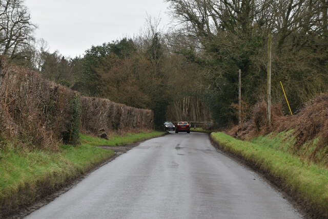
Broadwater Forest is a picturesque woodland located in the county of Sussex in Southeast England. Covering an area of approximately 1,500 acres, it is a popular destination for nature enthusiasts and outdoor adventurers alike.
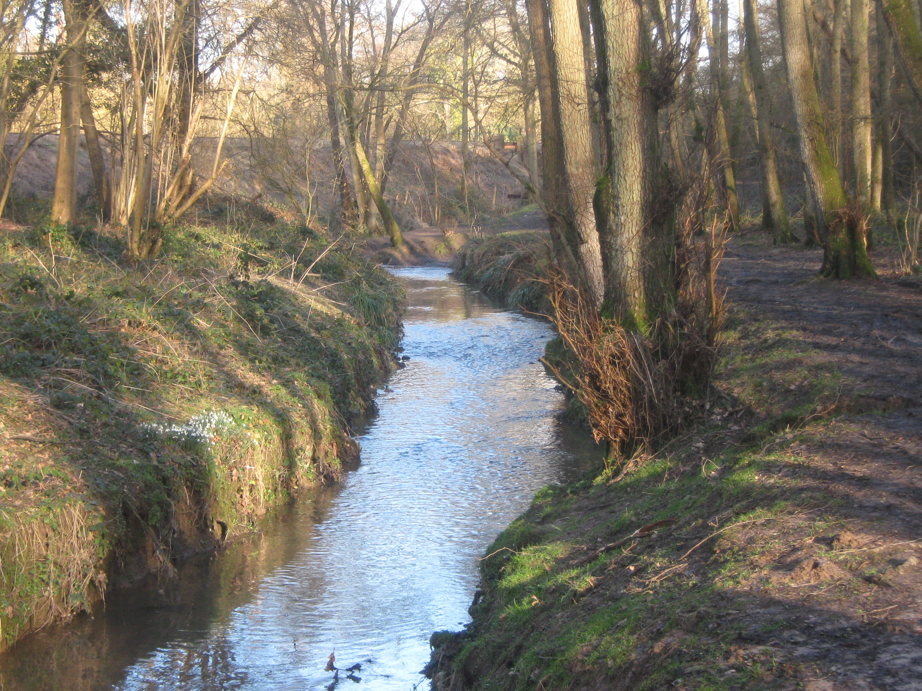
The forest is characterized by its diverse range of flora and fauna, boasting an impressive array of tree species such as oak, beech, and chestnut. The woodland floor is adorned with a vibrant carpet of bluebells during the spring, creating a stunning and colorful landscape. The forest also provides a habitat for various wildlife, including deer, foxes, and a variety of bird species, making it an ideal location for birdwatching and animal spotting.
Broadwater Forest offers a multitude of recreational activities for visitors to enjoy. There are numerous walking trails and paths that wind through the woodland, allowing visitors to explore the forest at their own pace. The forest is also a popular spot for cycling, with designated trails and tracks available for both beginners and experienced cyclists.
Furthermore, Broadwater Forest is equipped with picnic areas and barbecue spots, providing an ideal setting for families and friends to gather and enjoy a day out in nature. The forest is also equipped with basic facilities such as toilets and a car park, ensuring convenience and accessibility for visitors.
Overall, Broadwater Forest is a haven of natural beauty and tranquility, providing an escape from the hustle and bustle of everyday life. Its diverse ecosystem and range of recreational activities make it a must-visit destination for nature lovers and outdoor enthusiasts in Sussex.
If you have any feedback on the listing, please let us know in the comments section below.
Broadwater Forest Images
Images are sourced within 2km of 51.116338/0.21867898 or Grid Reference TQ5537. Thanks to Geograph Open Source API. All images are credited.


Broadwater Forest is located at Grid Ref: TQ5537 (Lat: 51.116338, Lng: 0.21867898)
Administrative County: East Sussex
District: Wealden
Police Authority: Sussex
What 3 Words
///tall.horseshoe.offshore. Near Rusthall, Kent
Nearby Locations
Related Wikis

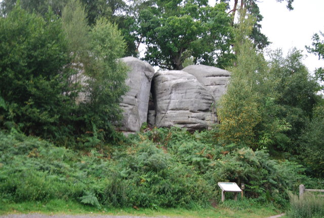
High Rocks
High Rocks is a 3.2-hectare (7.9-acre) geological Site of Special Scientific Interest west of Tunbridge Wells in East Sussex and Kent. It is a Geological...

High Rocks railway station
High Rocks railway station is a station on the Spa Valley Railway in High Rocks, East Sussex, England. The original High Rocks Halt opened on 1 June 1907...

Holmewood House School
Holmewood House School is an IAPS independent, co-educational preparatory school for boys and girls aged 3–13, in Langton Green, near Tunbridge Wells,...
Friezland Wood
Friezland Wood is a woodland in Kent, England, near Tunbridge Wells. It covers a total area of 7.69 hectares (19.00 acres). It is owned and managed by...

Spa Valley Railway
The Spa Valley Railway (SVR) is a standard gauge heritage railway in England that runs from Tunbridge Wells West railway station in Tunbridge Wells to...
Eridge Green
Eridge Green is a 8.4-hectare (21-acre) biological Site of Special Scientific Interest north-east of Crowborough in East Sussex. It is part of the 44 hectares...

Groombridge Place
Groombridge Place is a moated manor house in the village of Groombridge near Tunbridge Wells, Kent, England. It has become a tourist attraction, noted...

St Paul's Church, Rusthall
St Paul's Church is a Church of England parish church in Rusthall, Kent, England. It is a Grade II listed building. == History == St Paul's Church was...
Nearby Amenities
Located within 500m of 51.116338,0.21867898Have you been to Broadwater Forest?
Leave your review of Broadwater Forest below (or comments, questions and feedback).