Colvillehall Wood
Wood, Forest in Essex Uttlesford
England
Colvillehall Wood

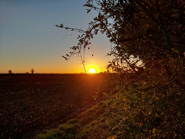
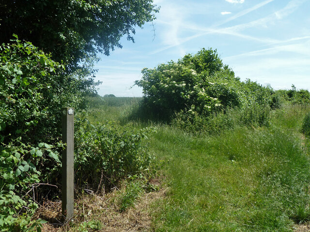
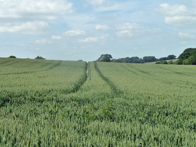
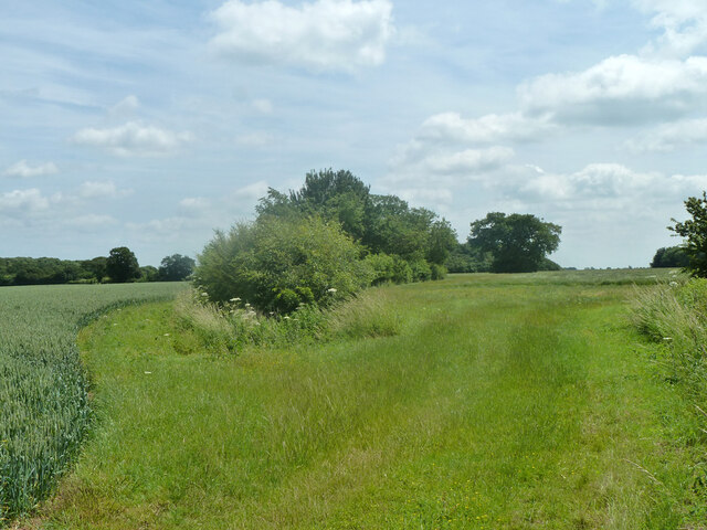
Colvillehall Wood, located in Essex, is a picturesque woodland area that covers an estimated area of approximately 50 hectares. This enchanting forest is known for its diverse range of flora and fauna, making it an ideal destination for nature enthusiasts and wildlife lovers alike.
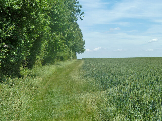
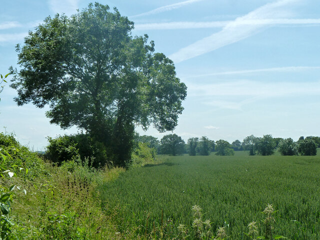
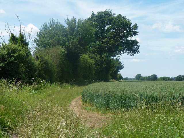
The wood is primarily composed of broadleaf trees, including oak, beech, and hornbeam, which form a dense canopy that provides shade and shelter to a plethora of wildlife species. In spring, the forest floor comes alive with vibrant displays of bluebells and wildflowers, creating a breathtaking sight for visitors.
Colvillehall Wood is home to a variety of wildlife, including several bird species such as woodpeckers, tawny owls, and song thrushes, which can be heard singing their melodies throughout the day. The woodland also supports a range of mammal species, including deer, foxes, and badgers, which can often be spotted roaming through the undergrowth.
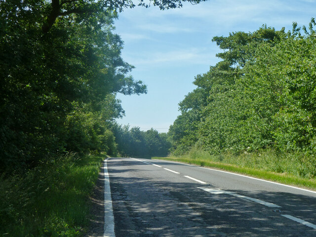
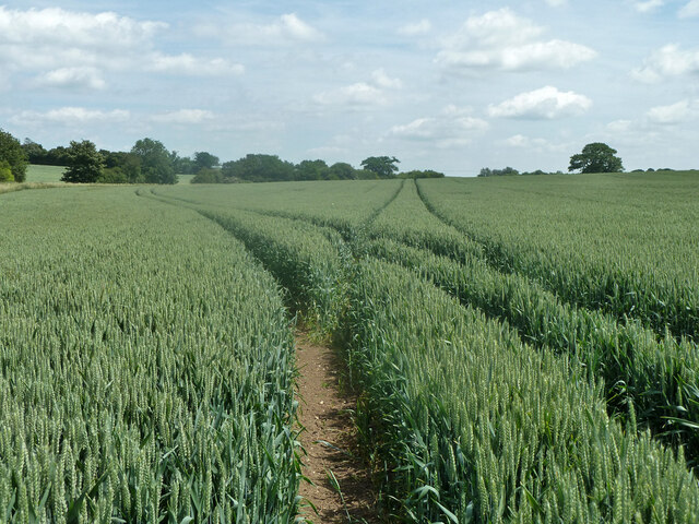
The wood offers a network of well-maintained footpaths, making it an excellent spot for walking, hiking, and exploring. The peaceful atmosphere and tranquil surroundings make it an ideal place for relaxation and contemplation.
Visitors to Colvillehall Wood can also enjoy the amenities provided, including picnic areas and benches strategically placed for those seeking to connect with nature or enjoy a quiet lunch amidst the forest ambiance.
Overall, Colvillehall Wood, with its rich biodiversity and serene atmosphere, offers a truly immersive experience for nature lovers and provides a valuable habitat for the local wildlife in Essex.
If you have any feedback on the listing, please let us know in the comments section below.
Colvillehall Wood Images
Images are sourced within 2km of 51.794796/0.24962333 or Grid Reference TL5513. Thanks to Geograph Open Source API. All images are credited.


Colvillehall Wood is located at Grid Ref: TL5513 (Lat: 51.794796, Lng: 0.24962333)
Administrative County: Essex
District: Uttlesford
Police Authority: Essex
What 3 Words
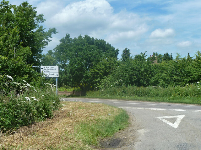
///facing.feed.stuff. Near Hatfield Heath, Essex
Nearby Locations
Related Wikis

Manwood Green
Manwood Green is a hamlet in the Uttlesford district, in the county of Essex. Manwood Green was Man(e)wode(s)grene in 1272.It is on Sparrows Lane (a minor...

White Roding
White Roding is a village and civil parish in the Uttlesford district of Essex, England. The village is included in the eight hamlets and villages called...

White Roding Windmill
White Roding Windmill is a Grade II listed preserved tower mill at White Roding, Essex, England. == History == White Roding Windmill was built in 1877...

RAF Matching
Royal Air Force Matching or more simply RAF Matching is a former Royal Air Force station located 5 miles (8.0 km) east of Harlow, Essex and 22 miles (35...

Abbess Roding
Abbess Roding is a village and former civil parish, now in the parish of Abbess, Beauchamp and Berners Roding and the Epping Forest District of Essex,...
Matching Green
Matching Green is a village and the largest settlement in the civil parish of Matching, in Essex, England. It is 3.0 miles (4.8 km) east of Harlow, 4.5...

Down Hall
Down Hall is a Victorian country house and estate near Hatfield Heath in the English county of Essex, close to its border with Hertfordshire. It is surrounded...

Matching, Essex
Matching is a village and civil parish in the Epping Forest district of Essex, England centred in countryside 3 miles (4.8 km) east of Harlow's modern...
Nearby Amenities
Located within 500m of 51.794796,0.24962333Have you been to Colvillehall Wood?
Leave your review of Colvillehall Wood below (or comments, questions and feedback).