Cow Gallery Wood

Wood, Forest in Cambridgeshire South Cambridgeshire

England

Cow Gallery Wood

Linton, St Mary the Virgin <span class="nowrap"><a title="http://www.druidic.org/camchurch/churches/linton.htm" rel="nofollow ugc noopener" href="http://www.druidic.org/camchurch/churches/linton.htm">Link</a><img style="margin-left:2px;" alt="External link" title="External link - shift click to open in new window" src="https://s1.geograph.org.uk/img/external.png" width="10" height="10"/></span>
Linton, St Mary the Virgin Credit: mym

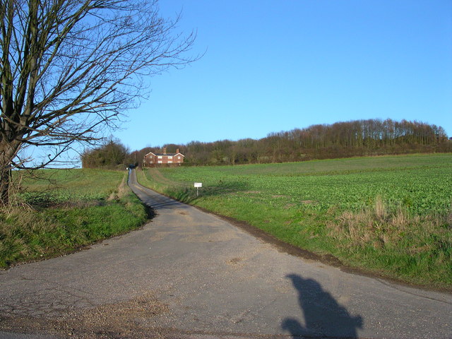
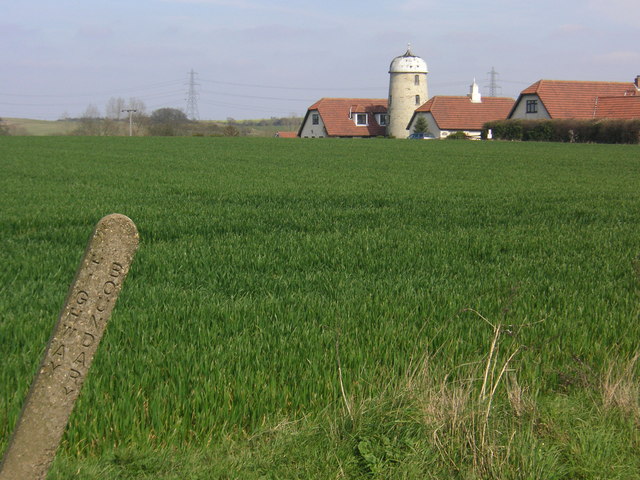
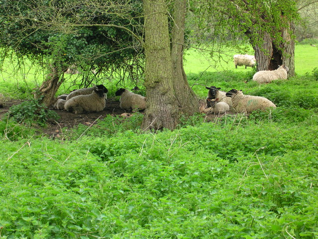
Cow Gallery Wood is a charming woodland located in Cambridgeshire, England. Spanning over several hectares, it is a popular destination for nature lovers and outdoor enthusiasts. The wood is situated in a rural area, surrounded by picturesque countryside and rolling hills.

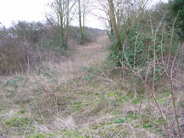
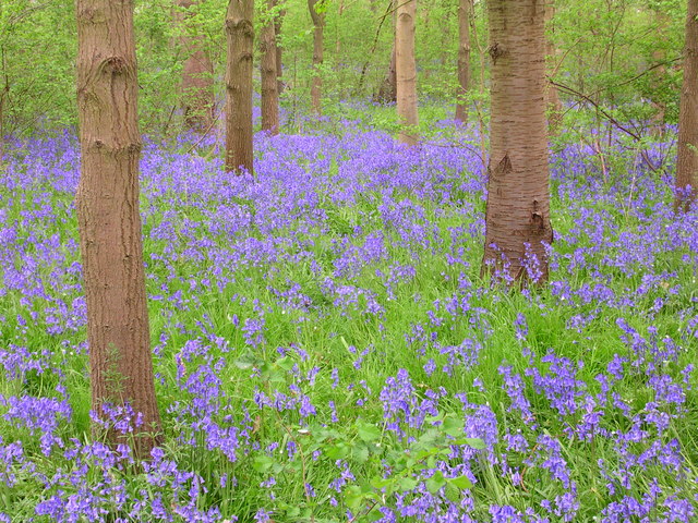
The wood is primarily composed of a variety of broadleaf trees, including oak, beech, and birch. These trees provide a dense canopy that offers shade and shelter to a rich diversity of plant and animal species. The forest floor is covered in a lush carpet of wildflowers, ferns, and mosses, creating a vibrant and enchanting atmosphere.

Walking through Cow Gallery Wood, visitors can enjoy the serenity and tranquility it offers. The peacefulness is only interrupted by the gentle rustling of leaves and the occasional chirping of birds. The wood is home to a plethora of wildlife, including deer, squirrels, and various bird species, making it a haven for nature enthusiasts and birdwatchers.

There are several well-maintained trails that crisscross through the wood, allowing visitors to explore its beauty at their own pace. These trails are suitable for all ages and fitness levels, making the wood a popular destination for families and individuals alike.

Cow Gallery Wood is also known for its historical significance. It has been a part of the local landscape for centuries and has witnessed the passing of time and the changes in the surrounding area. It serves as a reminder of the natural beauty that can be found in the English countryside.

If you have any feedback on the listing, please let us know in the comments section below.

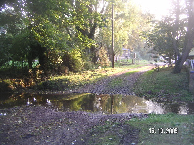
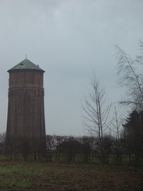
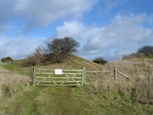
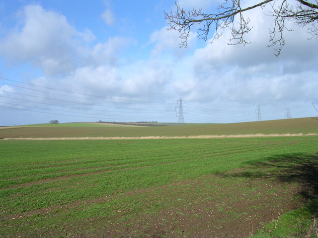
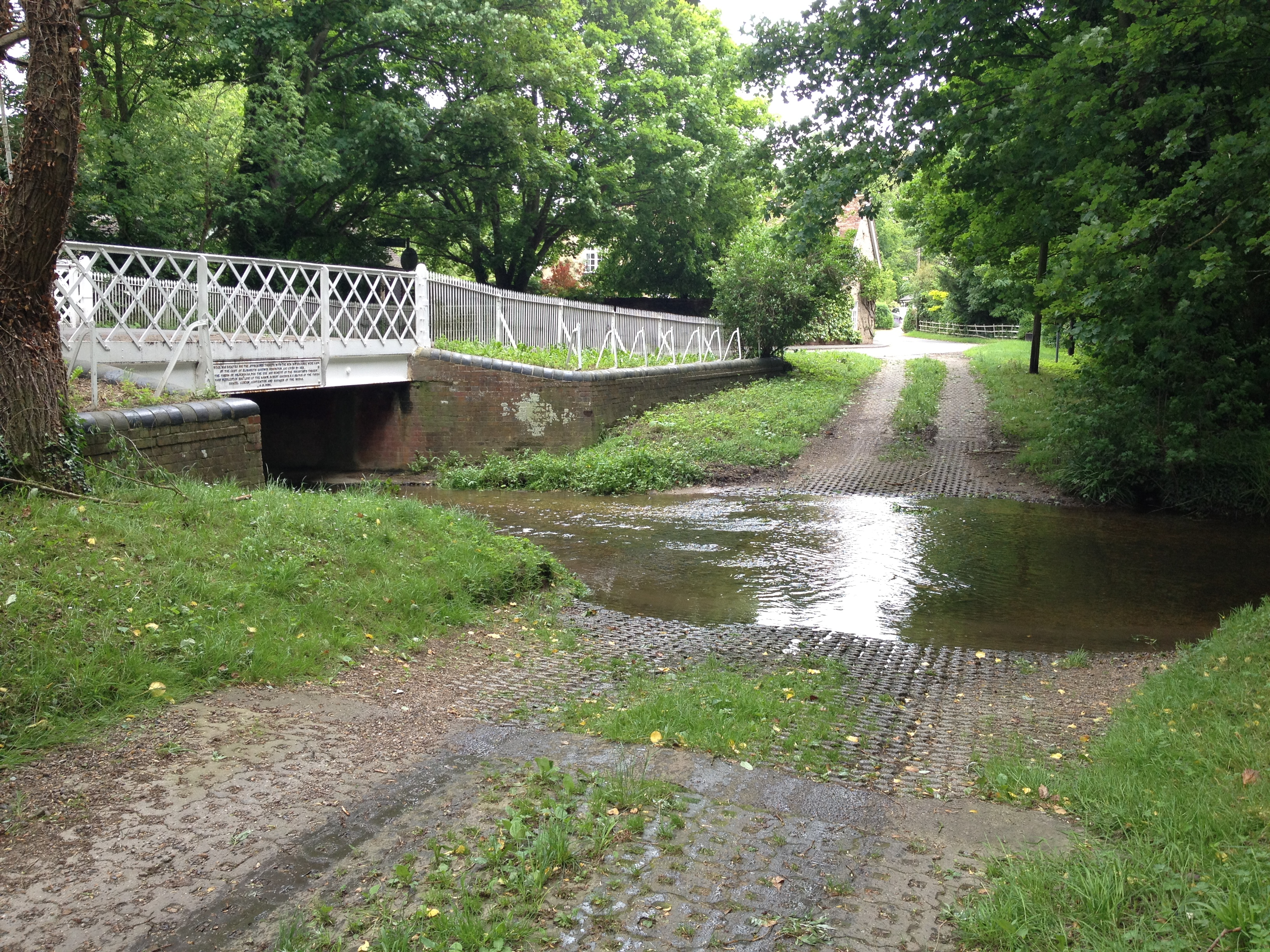
Cow Gallery Wood Images

Images are sourced within 2km of 52.104489/0.26262331 or Grid Reference TL5547. Thanks to Geograph Open Source API. All images are credited.

Linton, St Mary the Virgin <span class="nowrap"><a title="http://www.druidic.org/camchurch/churches/linton.htm" rel="nofollow ugc noopener" href="http://www.druidic.org/camchurch/churches/linton.htm">Link</a><img style="margin-left:2px;" alt="External link" title="External link - shift click to open in new window" src="https://s1.geograph.org.uk/img/external.png" width="10" height="10"/></span>
Linton, St Mary the Virgin
Hildersham Ford
Hildersham Ford
Chilford Water Tower This water tower sits on the hill above the town of Linton in Cambridgeshire.
Chilford Water Tower
This water tower sits on the hill above the town of Linton in Cambridgeshire.
Cottages at Linton, Cambridgeshire
More fowl than you can shake a stick at. The halfway point between the Reformed Church and the Anglican Church.
More fowl than you can shake a stick at.
The halfway point between the Reformed Church and the Anglican Church.
Furze Hill Look but no touch!
The site holds fragments of grassland characteristic of the Breckland of East Anglia holding both acidic
and calcareous components. This is a rare example of sandy habitat in the county and represents a south-
western outlier of the Suffolk Breckland.
<span class="nowrap"><a title="http://www.english-nature.org.uk/citation/citation_photo/1001115.pdf" rel="nofollow ugc noopener" href="http://www.english-nature.org.uk/citation/citation_photo/1001115.pdf">Link</a><img style="margin-left:2px;" alt="External link" title="External link - shift click to open in new window" src="https://s1.geograph.org.uk/img/external.png" width="10" height="10"/></span>
Furze Hill
Look but no touch! The site holds fragments of grassland characteristic of the Breckland of East Anglia holding both acidic and calcareous components. This is a rare example of sandy habitat in the county and represents a south- western outlier of the Suffolk Breckland. LinkExternal link
Pretty plain . The Roman Road to Wandlebury is on the horizon. The tree to the right is on a path  shown on the historic map but unfortunately not on the 2001 map.  The path is perpendicular to the Roman Road.
Pretty plain .
The Roman Road to Wandlebury is on the horizon. The tree to the right is on a path shown on the historic map but unfortunately not on the 2001 map. The path is perpendicular to the Roman Road.
Little Chilford From the other direction there is no sign indicating this is a private road.
Little Chilford
From the other direction there is no sign indicating this is a private road.
Shadow of giants I suppose the lines above make these buildings uninhabitable.
Shadow of giants
I suppose the lines above make these buildings uninhabitable.
Dismantled railway
Dismantled railway
Ford near the mill, Linton, Cambridgeshire
Disused Mill Disused mill near Hildersham, viewed from A1307
Disused Mill
Disused mill near Hildersham, viewed from A1307
Bluebelled to the max
Sheep dip path Go to ford and dip again
Sheep dip path
Go to ford and dip again
Mixed family Quackers and Honkers setting an example.
Mixed family
Quackers and Honkers setting an example.
Chock up another clutch Who can resist submitting baby birds?
Chock up another clutch
Who can resist submitting baby birds?
Closer family
Closer family
Show me another place!

Cow Gallery Wood is located at Grid Ref: TL5547 (Lat: 52.104489, Lng: 0.26262331)

Administrative County: Cambridgeshire

District: South Cambridgeshire

Police Authority: Cambridgeshire

What 3 Words

///overgrown.nods.travels. Near Linton, Cambridgeshire

Nearby Locations

Cow Gallery Wood

Related Wikis

Granta School

Granta School is a community special school in Linton, South Cambridgeshire, England. Established in 2006, the school is designed to assist with moderate...

Linton Village College

Linton Village College is a secondary school in Linton, South Cambridgeshire, England. Established in 1937 as a village college, the school now has academy...

Hildersham

Hildersham is a small village 8 miles to the south-east of Cambridge, England. It is situated just off the A1307 between Linton and Great Abington on a...

Furze Hill SSSI

Furze Hill is a 5.8-hectare (14-acre) biological Site of Special Scientific Interest in three nearby areas east of Hildersham in Cambridgeshire.The site...

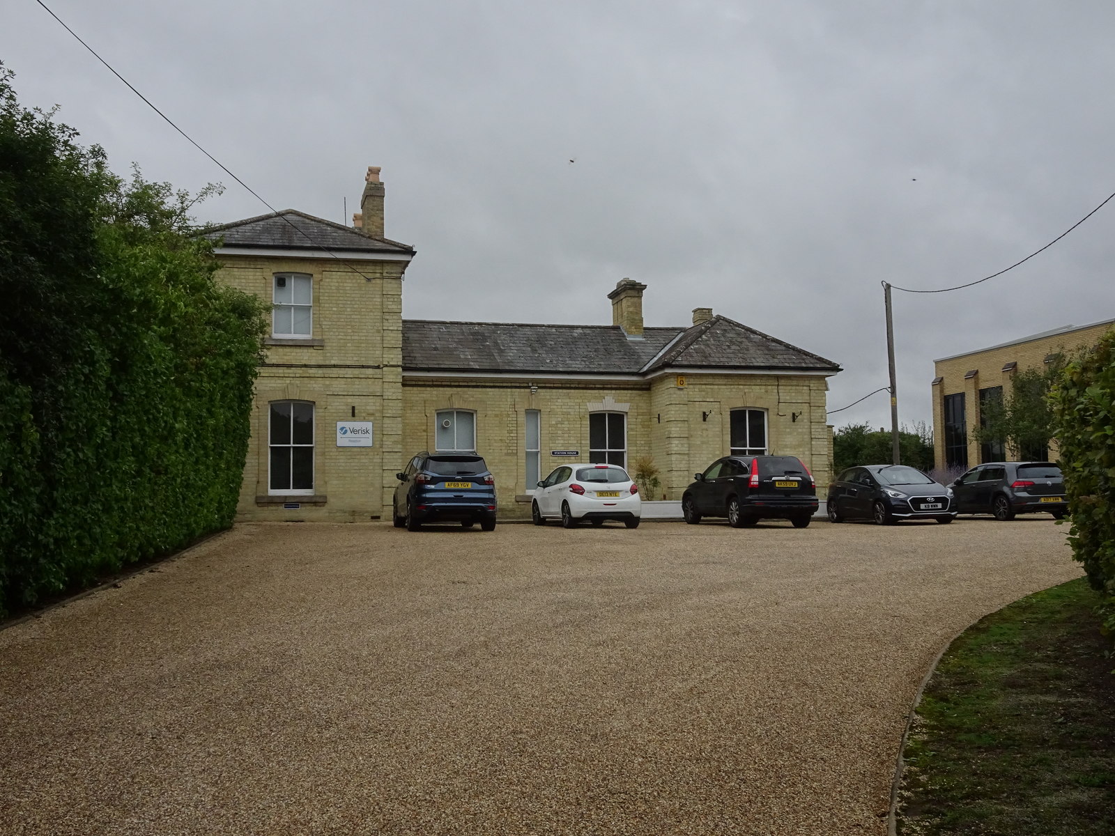
Linton railway station (Cambridgeshire)

Linton railway station was a railway station in Linton, Cambridgeshire on the Stour Valley Railway. It closed in 1967. The station house is H-shaped and...

Linton, Cambridgeshire

Linton is a village and civil parish in Cambridgeshire, England, on the border with Essex. The village is approximately 8 miles (13 km) southeast from...

Caxton and Arrington Rural District

Caxton and Arrington was a rural district in Cambridgeshire, England, from 1894 to 1934. It was formed in 1894 under the Local Government Act 1894, covering...

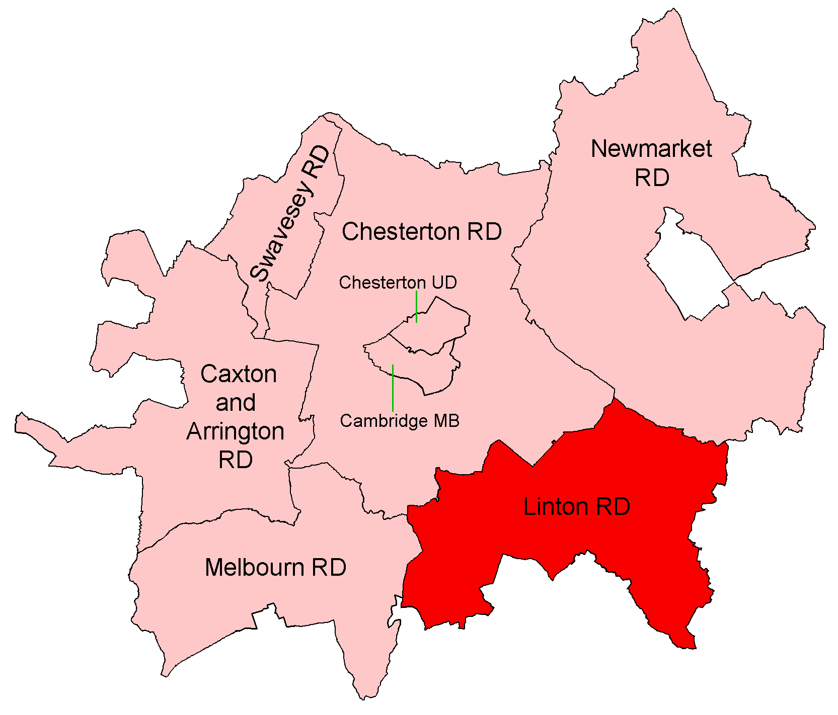
Linton Rural District

Linton was a rural district in Cambridgeshire, England, from 1894 to 1934. It was formed in 1894 under the Local Government Act 1894, covering the area...

Related Videos

Great Abington

Filmed at Great Abington, Cambridge Film ©Cambridge TV School Ltd 2021. Music used under PRS licence LE-0020204 ...

Our day out at Linton Zoo - April 2018

A video my dad forgot to add to my channel - Our day out at Linton Zoo - April 2018. We had a really great time, and saw lots of ...

Upper Deck Bus Viewing of Beautiful Countryside From Linton To Haverhill in Suffolk

LintonVillageSuffolk #HaverhillTownSuffolk #RoadTripsEngland.

Nearby Amenities

Located within 500m of 52.104489,0.26262331
Source: npe
Lat/Long: 52.1074203/0.2616155
Source: npe
Lat/Long: 52.1074043/0.2617577
Source: npe
Lat/Long: 52.107714/0.2628708
Source: npe
Lat/Long: 52.1071789/0.2642068
Source: npe
Lat/Long: 52.1063555/0.2652102
Source: npe
Lat/Long: 52.1059401/0.266378
Source: npe
Lat/Long: 52.1055021/0.2673808
Source: npe
Lat/Long: 52.1049284/0.268488
Source: npe
Lat/Long: 52.1083418/0.2605383
Parking
Lat/Long: 52.1061288/0.2560015
Power: tower
Lat/Long: 52.107688/0.2663915
Power: tower
Lat/Long: 52.1045019/0.2642672
Power: tower
Lat/Long: 52.100907/0.262733
Power: pole
Lat/Long: 52.1069022/0.2595491
Power: pole
Lat/Long: 52.1065283/0.2614187
Power: pole
Lat/Long: 52.1080093/0.2635993
Power: pole
Lat/Long: 52.1071742/0.2633928
Power: pole
Lat/Long: 52.1062351/0.2631621
Power: pole
Lat/Long: 52.1072367/0.2576125
Power: pole
Lat/Long: 52.1043241/0.2664532
Power: pole
Lat/Long: 52.10267/0.2688376
Power: pole
Lat/Long: 52.1034871/0.2676763
Power: pole
Lat/Long: 52.1056013/0.2640229
Power: pole
Lat/Long: 52.1088626/0.2638059
The data included in this document is from www.openstreetmap.org. The data is made available under ODbL.

Have you been to Cow Gallery Wood?

Leave your review of Cow Gallery Wood below (or comments, questions and feedback).