Brickclamp Spring
Wood, Forest in Essex Uttlesford
England
Brickclamp Spring

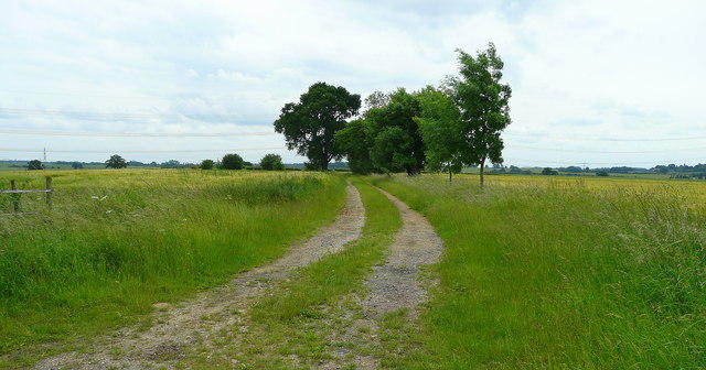
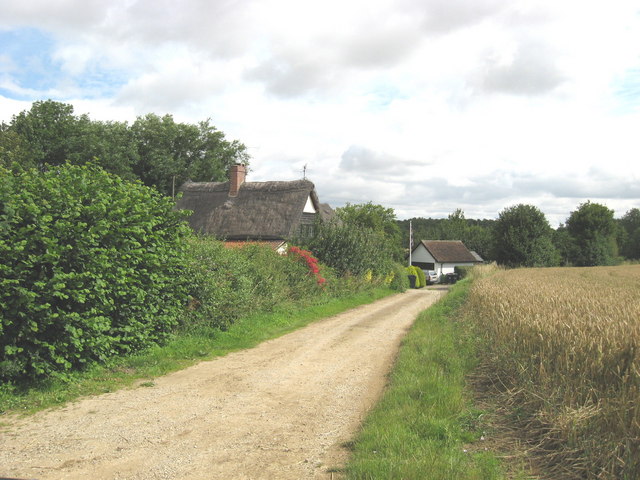
Brickclamp Spring is a charming woodland located in Essex, England. Nestled within the county's picturesque countryside, this enchanting forest covers an area of approximately 100 acres. It is situated near the village of Wood, just a short drive from the town of Chelmsford.
This woodland is renowned for its stunning natural beauty and diverse ecosystem. It boasts a rich variety of tree species, including oak, beech, and birch, which provide a lush canopy and create a serene and peaceful atmosphere. The forest floor is adorned with vibrant bluebells during the springtime, creating a breathtaking sight for visitors.
The woodland is intersected by several beautiful walking trails, allowing visitors to explore its hidden treasures. These well-maintained paths offer a tranquil escape from the hustle and bustle of everyday life, providing a perfect setting for nature walks, hiking, and birdwatching.
Brickclamp Spring is also home to a wide range of wildlife. Keen observers may spot deer, foxes, rabbits, and a plethora of bird species, including woodpeckers, thrushes, and owls. The forest provides a natural habitat for these creatures, making it a haven for wildlife enthusiasts and photographers alike.
For those seeking a peaceful retreat in nature, Brickclamp Spring is an idyllic destination. Its natural beauty, diverse flora and fauna, and tranquil ambiance make it the perfect place to unwind and reconnect with the great outdoors.
If you have any feedback on the listing, please let us know in the comments section below.
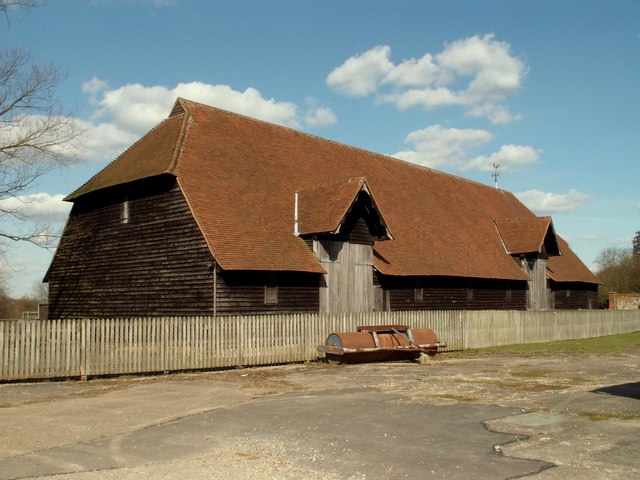
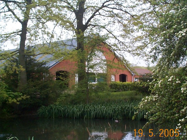
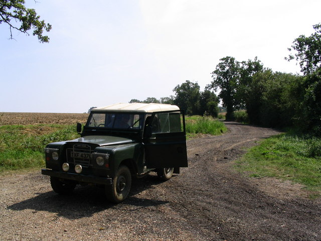
Brickclamp Spring Images
Images are sourced within 2km of 51.954612/0.25380241 or Grid Reference TL5430. Thanks to Geograph Open Source API. All images are credited.


Brickclamp Spring is located at Grid Ref: TL5430 (Lat: 51.954612, Lng: 0.25380241)
Administrative County: Essex
District: Uttlesford
Police Authority: Essex
What 3 Words
///fruity.unfolds.gossiped. Near Elsenham, Essex
Nearby Locations
Related Wikis

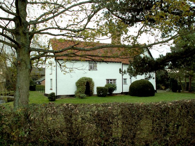
Widdington
Widdington is a village and civil parish near Saffron Walden, in the Uttlesford district, in the county of Essex, England. The population of the parish...
Rook End
Rook End is a hamlet near the village of Widdington, in the Uttlesford district, in the county of Essex, England. Rook End contains three listed buildings...

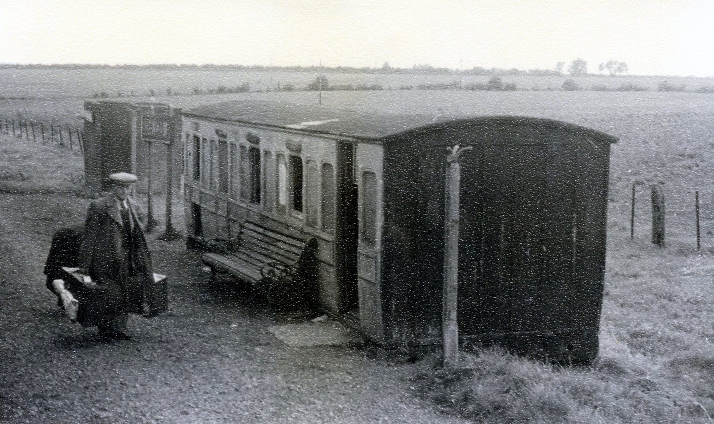
Sibleys railway station
Sibleys railway station was a station in Sibleys Green, in the civil parish of Chickney, Essex. It was located 2 miles 78 chains (4.79 km) from Elsenham...

Elsenham & Thaxted Light Railway
The Elsenham & Thaxted Light Railway was a 5+1⁄2-mile (9 km) long light railway in Essex, England. The line was sanctioned in 1906, although did not finally...
Hamperden End
Hamperden End is a hamlet in the civil parish of Debden, in the Uttlesford district, in the county of Essex, England. Debden Green is north east and Widdington...

Henham
Henham, or Henham-on-the-Hill is a village and civil parish in the Uttlesford district of Essex, England. The village is situated 2.5 miles (4 km) north...
Henham Halt railway station
Henham Halt railway station was a station serving the village of Henham, Essex, England. It was located 1 mile 57 chains (2.76 km) from Elsenham station...

Debden Hall, Uttlesford
There was another Debden Hall in Essex, in Epping ForestDebden Hall was a country house in the north-west of the county of Essex, in England. It was demolished...
Nearby Amenities
Located within 500m of 51.954612,0.25380241Have you been to Brickclamp Spring?
Leave your review of Brickclamp Spring below (or comments, questions and feedback).