Ireland Grove
Wood, Forest in Essex Brentwood
England
Ireland Grove
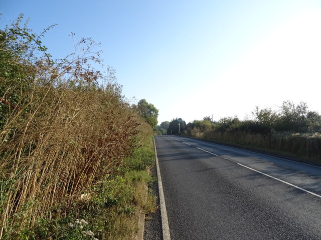
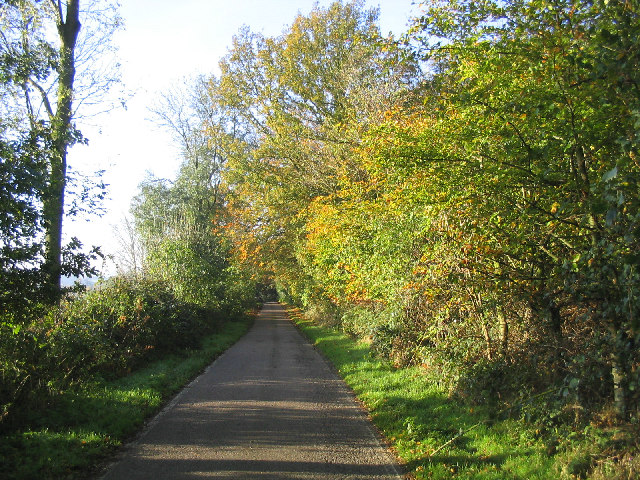
Ireland Grove is a small, picturesque village located in the county of Essex, England. Situated within the Wood district, it is known for its serene and idyllic surroundings, nestled amidst lush green forests. The village is a perfect escape for those seeking tranquility and a connection with nature.
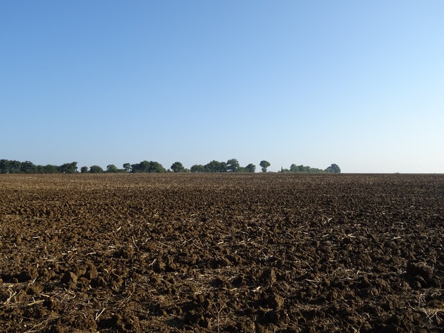
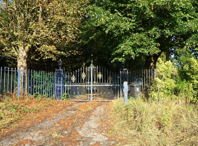
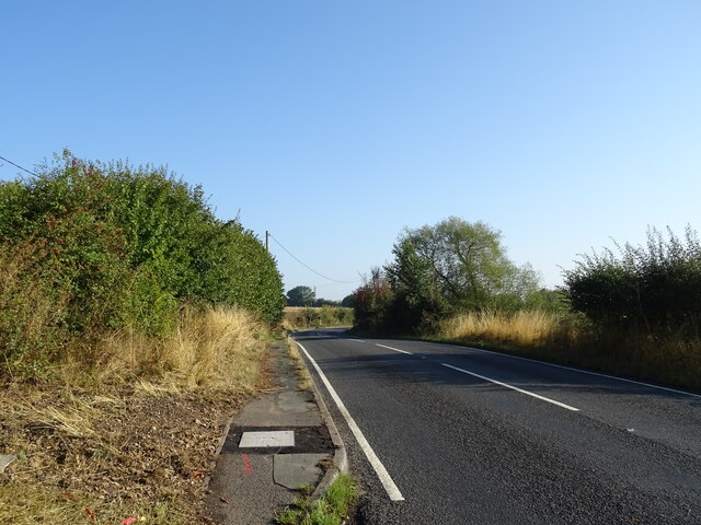
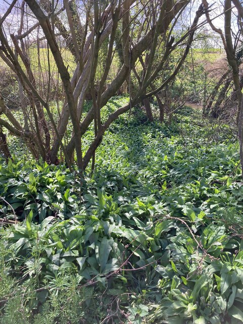
Surrounded by dense woodlands, Ireland Grove offers a haven for outdoor enthusiasts and nature lovers. The forest, with its diverse range of flora and fauna, provides ample opportunities for hiking, bird-watching, and exploring the natural beauty of the area. The air is crisp and refreshing, making it an ideal destination for those looking to escape the hustle and bustle of city life.
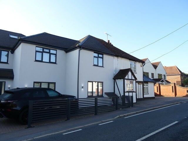
The village itself is characterized by its charming, traditional architecture. The houses are predominantly made of timber, giving the village a rustic and authentic feel. The streets are lined with vibrant gardens and quaint cottages, adding to the overall charm of the area.
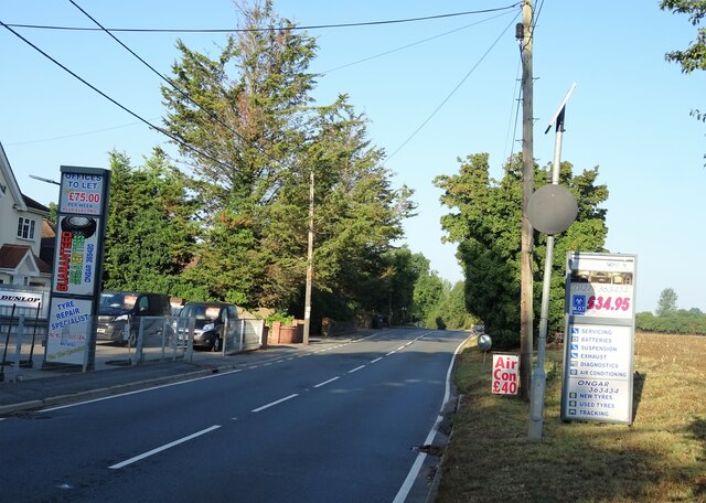
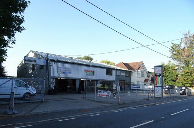
Ireland Grove is a close-knit community, with a population of approximately 500 residents. The village boasts a number of amenities, including a local pub, a small grocery store, and a primary school, catering to the needs of its residents.
Overall, Ireland Grove, Essex (Wood, Forest) is a hidden gem in the heart of nature. Its picturesque landscapes, traditional architecture, and strong sense of community make it a desirable destination for those seeking a peaceful and idyllic lifestyle.
If you have any feedback on the listing, please let us know in the comments section below.
Ireland Grove Images
Images are sourced within 2km of 51.673493/0.23971583 or Grid Reference TQ5499. Thanks to Geograph Open Source API. All images are credited.


Ireland Grove is located at Grid Ref: TQ5499 (Lat: 51.673493, Lng: 0.23971583)
Administrative County: Essex
District: Brentwood
Police Authority: Essex
What 3 Words
///sorry.ever.beard. Near Kelvedon Hatch, Essex
Nearby Locations
Related Wikis

Brentwood and Ongar (UK Parliament constituency)
Brentwood and Ongar is a constituency in Essex represented in the House of Commons of the UK Parliament since 2017 by Alex Burghart, a Conservative, serving...

Kelvedon Hall
Kelvedon Hall is a country house in the village of Kelvedon Hatch, near Brentwood, Essex, England. Originally the site of an important medieval manor,...

Kelvedon Hatch Secret Nuclear Bunker
The Kelvedon Hatch Secret Nuclear Bunker at Kelvedon Hatch, in the Borough of Brentwood in the English county of Essex, is a large underground bunker maintained...

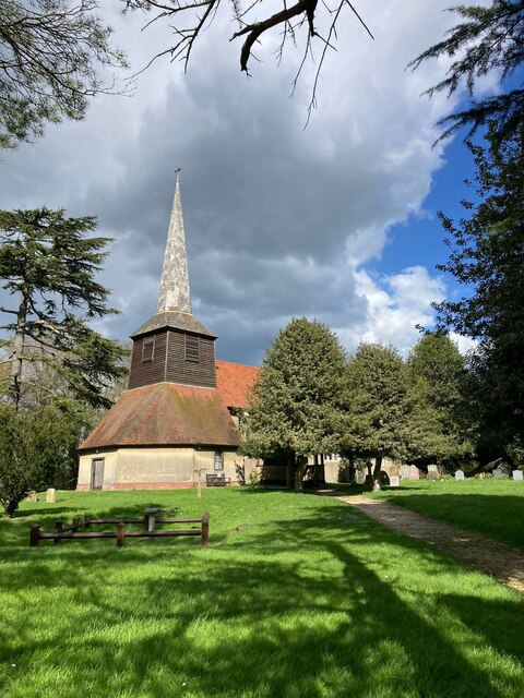
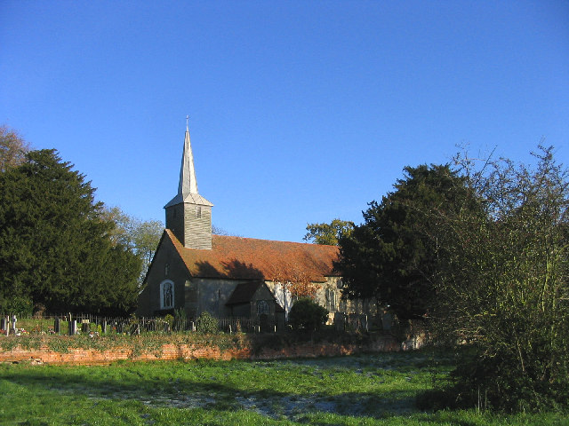
St Nicholas Church, Kelvedon Hatch
St Nicholas Church is the Church of England parish church in the Essex village of Kelvedon Hatch. It was first recorded around 1254, when the rectory of...

The Coppice, Kelvedon Hatch
The Coppice, Kelvedon Hatch is a 9.4-hectare (23-acre) biological Site of Special Scientific Interest in Kelvedon Hatch in Essex.The site is an ancient...

Trinity School, Brentwood
Trinity School (formerly Peniel Academy) was an independent school in Essex, England. The school was located in Brentwood and was closely linked to Trinity...

Marden Ash
Marden Ash is an urban settlement in the Ongar civil parish of the Epping Forest District of Essex, England. The settlement, previously a village of High...

Navestock
Navestock is a civil parish in the Borough of Brentwood in south Essex, in the East of England region of the United Kingdom. It is located approximately...
Nearby Amenities
Located within 500m of 51.673493,0.23971583Have you been to Ireland Grove?
Leave your review of Ireland Grove below (or comments, questions and feedback).