Camberlot Wood

Wood, Forest in Sussex Wealden

England

Camberlot Wood

Coldharbour Road, Lower Dicker Looking north towards the junction with the A22.
Coldharbour Road, Lower Dicker Credit: Simon Carey

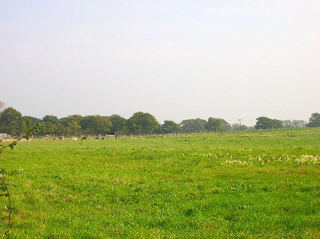
Camberlot Wood is a picturesque forest located in the county of Sussex, England. Spanning over a vast area of land, the wood is known for its captivating natural beauty and diverse ecosystem. It is situated near the village of Camberlot, which gives the wood its name.

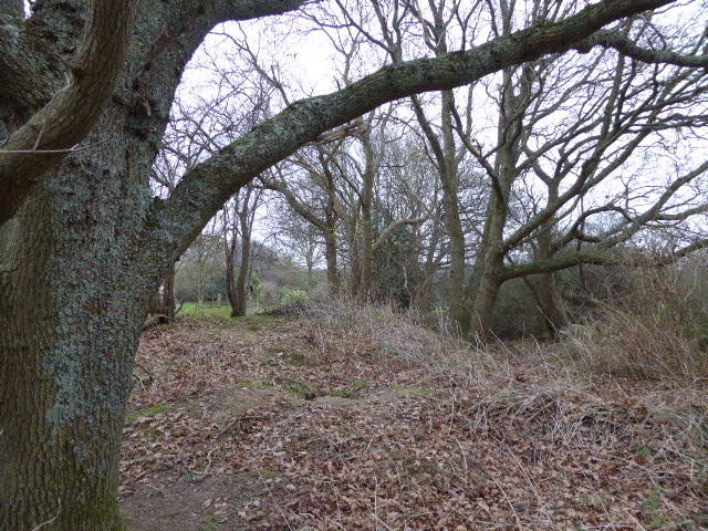
The forest is home to a plethora of tree species, including oak, beech, and pine, creating a rich and dense canopy that provides shade and shelter for numerous wildlife species. The woodland floor is adorned with an array of wildflowers, adding bursts of color to the landscape during the spring and summer months.

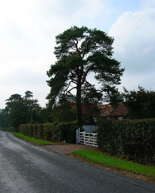
Camberlot Wood is renowned for its tranquil atmosphere and peaceful ambiance, making it a popular destination for nature enthusiasts and hikers. There are several walking trails that wind through the forest, allowing visitors to explore its hidden gems and discover its hidden corners.

The wood also boasts a diverse range of fauna. Birdwatchers will delight in the variety of avian species that call Camberlot Wood their home, including woodpeckers, owls, and various songbirds. Squirrels, foxes, and deer are also commonly spotted throughout the forest.

In addition to its natural beauty, Camberlot Wood has historical significance. It is believed that the area was once part of an ancient hunting ground used by nobles and monarchs in centuries past.

Overall, Camberlot Wood is a captivating destination, offering visitors a chance to immerse themselves in the beauty of nature and explore the rich biodiversity of Sussex's woodlands.

If you have any feedback on the listing, please let us know in the comments section below.

Camberlot Wood Images

Images are sourced within 2km of 50.878889/0.20058496 or Grid Reference TQ5411. Thanks to Geograph Open Source API. All images are credited.

Coldharbour Road, Lower Dicker Looking north towards the junction with the A22.
Coldharbour Road, Lower Dicker
Looking north towards the junction with the A22.
Farmland, Coldharbour Road Looking east north east from Coldharbour Road near The Nurseries at a field of llamas.
Farmland, Coldharbour Road
Looking east north east from Coldharbour Road near The Nurseries at a field of llamas.
Quinces, Camberlot Road, near Upper Dicker Looking south. The cottage is just north of Clover Farm.
Quinces, Camberlot Road, near Upper Dicker
Looking south. The cottage is just north of Clover Farm.
Camberlot Farm Looking west from Camberlot Road.
Camberlot Farm
Looking west from Camberlot Road.
Old lane near Chalvington Many lanes and roads in this area of Sussex lead south to the pastures on the South Downs. With the arrival of the car many lanes were made up but some did not, lost their importance and now are bridleways or footpaths. This route begins deep in the Weald then heads south but stops at the A22, becoming a track until it reaches Chalvington Stud Farm before becoming a made up road again. What initially looks like a lane from the period of enclosures actually dates back to the Roman times. This view looks south and is taken the crossroads of tracks just south of the A22. See <a href="https://www.geograph.org.uk/gridref/TQ5311">TQ5311</a> for where the west track ends.
Old lane near Chalvington
Many lanes and roads in this area of Sussex lead south to the pastures on the South Downs. With the arrival of the car many lanes were made up but some did not, lost their importance and now are bridleways or footpaths. This route begins deep in the Weald then heads south but stops at the A22, becoming a track until it reaches Chalvington Stud Farm before becoming a made up road again. What initially looks like a lane from the period of enclosures actually dates back to the Roman times. This view looks south and is taken the crossroads of tracks just south of the A22. See TQ5311 for where the west track ends.
Crossroads near Golden Cross Looking north where the road from Chalvington turns left and heads for Golden Cross. Sheepcote Lane which turns right is a dead end but follows the route of the track from <a href="https://www.geograph.org.uk/gridref/TQ5411">TQ5411</a> before ending at Semeston Croft <a href="https://www.geograph.org.uk/gridref/TQ5309">TQ5309</a> and becoming a track again until reaching Chalvington. The northern route has not become a road and meets up with the track seen in TQ5411 a mile or so east.
Crossroads near Golden Cross
Looking north where the road from Chalvington turns left and heads for Golden Cross. Sheepcote Lane which turns right is a dead end but follows the route of the track from TQ5411 before ending at Semeston Croft TQ5309 and becoming a track again until reaching Chalvington. The northern route has not become a road and meets up with the track seen in TQ5411 a mile or so east.
Golden Cross Inn, Golden Cross The road in front is the A22. The village itself has grown up around a crossroad junction of routes.
Golden Cross Inn, Golden Cross
The road in front is the A22. The village itself has grown up around a crossroad junction of routes.
The Old Mill, Golden Cross Built sometime in the early 19th century and known as either Wickens Mill or Dicker Mill. It remained operational until the eve of the First World War though only the roundhouse survives of the former post mill which has now been converted into a holiday home known as Jasmine Mill. See also <a href="https://www.geograph.org.uk/photo/2802150">TQ5312 : The Old Mill, Golden Cross</a> for a similar view.
The Old Mill, Golden Cross
Built sometime in the early 19th century and known as either Wickens Mill or Dicker Mill. It remained operational until the eve of the First World War though only the roundhouse survives of the former post mill which has now been converted into a holiday home known as Jasmine Mill. See also TQ5312 : The Old Mill, Golden Cross for a similar view.
Eight Acre Wood Taken from Nash Street.
Eight Acre Wood
Taken from Nash Street.
Nash Street Wood Following the footpath that leads to Thunder Hill
Nash Street Wood
Following the footpath that leads to Thunder Hill
Barn, Nash Street Farm Taken from Nash Street.
Barn, Nash Street Farm
Taken from Nash Street.
Peacocks, Nash Street Farm My first peacock point too.
Peacocks, Nash Street Farm
My first peacock point too.
Footbridge near Caldicott's Wood This rather forlorn footbridge marks the northern border of the former Dicker Common which stretched out north and south of the current A22 from Boship Roundabout to Golden Cross. The line of trees in the foreground marks the path of a bridleway formerly a main route from Horsebridge onto the common. The common was enclosed during the first half of the nineteenth century.
Footbridge near Caldicott's Wood
This rather forlorn footbridge marks the northern border of the former Dicker Common which stretched out north and south of the current A22 from Boship Roundabout to Golden Cross. The line of trees in the foreground marks the path of a bridleway formerly a main route from Horsebridge onto the common. The common was enclosed during the first half of the nineteenth century.
Caldicott's Wood Taken from the footpath that runs through the middle of it. Part of the former Dicker Common.
Caldicott's Wood
Taken from the footpath that runs through the middle of it. Part of the former Dicker Common.
Willow Cafe Part of the hamlet of Lower Dicker which grew up on the old common after enclosure. The cafe has seems to have been closed for some time.
Willow Cafe
Part of the hamlet of Lower Dicker which grew up on the old common after enclosure. The cafe has seems to have been closed for some time.
Green Lane A surviving track from the former Dicker Common which failed to become macadamised. The bridge to the left marks the start of the footpath to Chalvington Stud Farm. The former lane runs from Camberlot Road to Sheepcote Lane. Despite it being designated as a footpath it seems to be used by motor vehicles and horses.
Green Lane
A surviving track from the former Dicker Common which failed to become macadamised. The bridge to the left marks the start of the footpath to Chalvington Stud Farm. The former lane runs from Camberlot Road to Sheepcote Lane. Despite it being designated as a footpath it seems to be used by motor vehicles and horses.
Camberlot Wood The footpath from Clover Farm to Chalvington Stud Farm follows its southern border.
Camberlot Wood
The footpath from Clover Farm to Chalvington Stud Farm follows its southern border.
Low Weald Landscape This part of the Weald has been farmed since the Romans. Looking south west from Camberlot Wood.
Low Weald Landscape
This part of the Weald has been farmed since the Romans. Looking south west from Camberlot Wood.
Show me another place!

Camberlot Wood is located at Grid Ref: TQ5411 (Lat: 50.878889, Lng: 0.20058496)

Administrative County: East Sussex

District: Wealden

Police Authority: Sussex

What 3 Words

///annotated.frosted.notifying. Near Hailsham, East Sussex

Nearby Locations

Camberlot Wood

Related Wikis

Lower Dicker

Lower Dicker is a 0.1-hectare (0.25-acre) geological Site of Special Scientific Interest west of Hailsham in East Sussex. It is a Geological Conservation...

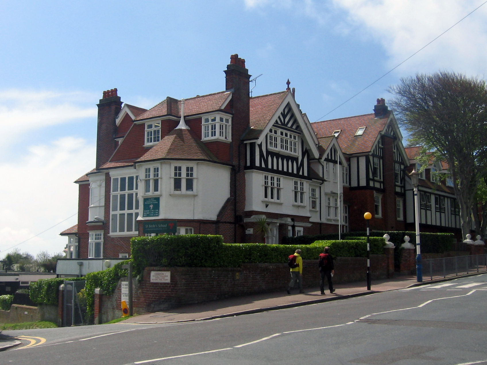
Bede's School, Eastbourne

Bede's School (until 2012, known as St Bede's School), consists of a preparatory school and pre-preparatory nursery in Holywell, Meads, Eastbourne, East...

Golden Cross, East Sussex

Golden Cross is a small village in the Wealden district of East Sussex, England. Its nearest town is Hailsham, which lies approximately 3+1⁄2 miles (6...

Zoar Strict Baptist Chapel

Zoar Strict Baptist Chapel is a Strict Baptist place of worship in the hamlet of Lower Dicker in the English county of East Sussex. Founded in 1837 and...
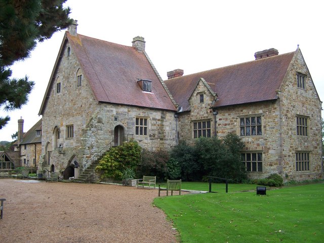
Michelham Priory

Michelham Priory is the site of a former Augustinian Priory in Upper Dicker, East Sussex, England, United Kingdom. The surviving buildings are owned and...

Burgh Hill Farm Meadow

Burgh Hill Farm Meadow is a 0.9-hectare (2.2-acre) biological Site of Special Scientific Interest west of Hailsham in East Sussex.This meadow is managed...

Farleys House

Farleys House near Chiddingly, East Sussex, has been converted into a museum and archive featuring the lives and work of its former residents, the photographer...

Arlington Stadium, Hailsham

Arlington Stadium is a sports stadium on Arlington Road West, Hailsham, East Sussex. The stadium is mainly used for Stock car racing and was formerly used...

Nearby Amenities

Located within 500m of 50.878889,0.20058496
The data included in this document is from www.openstreetmap.org. The data is made available under ODbL.

Have you been to Camberlot Wood?

Leave your review of Camberlot Wood below (or comments, questions and feedback).