Grimsditch Wood

Wood, Forest in Essex Uttlesford

England

Grimsditch Wood

Stonebridge Farm, Little Walden, Essex
Stonebridge Farm, Little Walden, Essex Credit: Robert Edwards

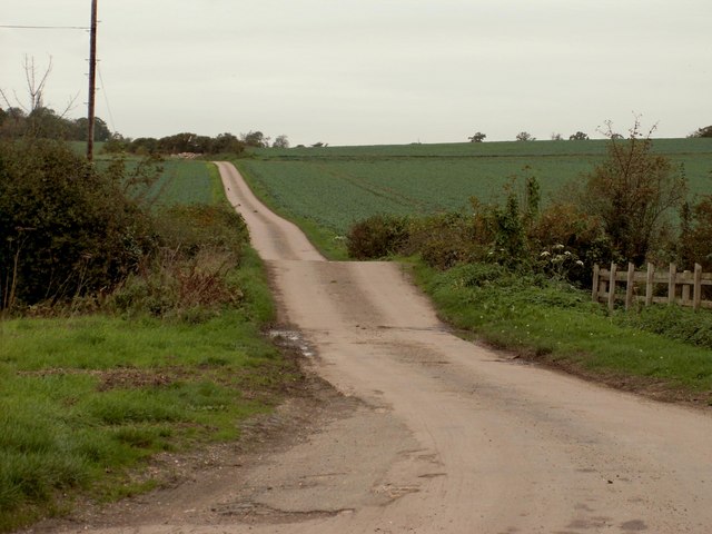
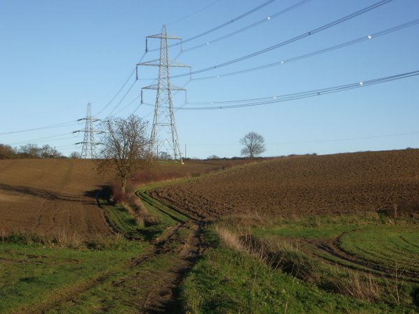
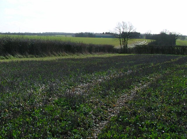
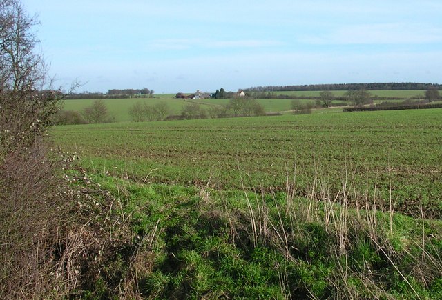
Grimsditch Wood is a dense woodland located in the county of Essex, England. Covering an area of approximately 100 hectares, it is nestled within the rural landscape of the county, attracting nature enthusiasts and locals alike. The wood is part of the larger Epping Forest, a protected area known for its rich biodiversity and historical significance.

As visitors enter Grimsditch Wood, they are greeted by a captivating mix of deciduous and coniferous trees, creating a stunning mosaic of colors throughout the seasons. Towering oak, beech, and hornbeam trees dominate the landscape, providing a lush canopy that shelters a wide variety of flora and fauna.

The woodland floor is adorned with an array of wildflowers, including bluebells, wood anemones, and primroses, creating a vibrant tapestry during the spring months. Fungi enthusiasts can find an assortment of mushrooms and toadstools scattered across the forest floor, adding to the enchanting atmosphere.

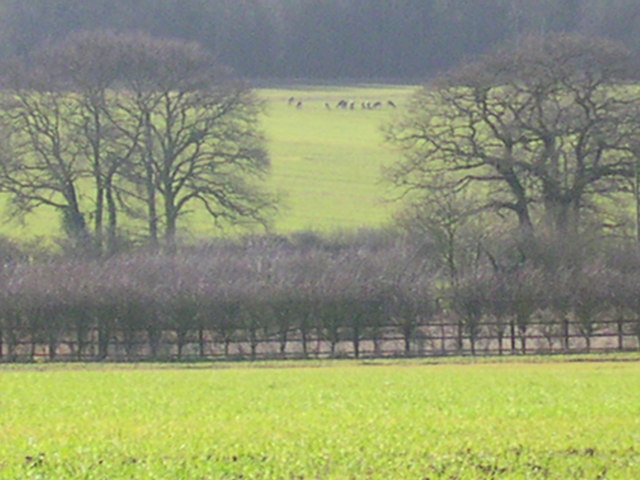
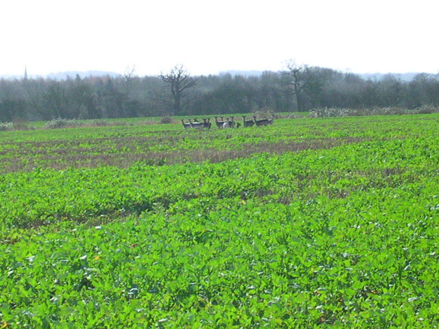
Grimsditch Wood is home to an abundance of wildlife, making it an ideal spot for birdwatching and animal spotting. Visitors may catch a glimpse of roe deer, foxes, and badgers, as well as a diverse range of bird species, including woodpeckers, owls, and thrushes.

The wood offers several well-maintained footpaths, allowing visitors to explore and immerse themselves in the natural beauty. The peaceful and serene atmosphere provides an ideal setting for leisurely walks, picnics, and nature photography.

Grimsditch Wood stands as a testament to the importance of preserving and appreciating the natural world, offering a tranquil escape from the bustling urban areas of Essex.

If you have any feedback on the listing, please let us know in the comments section below.

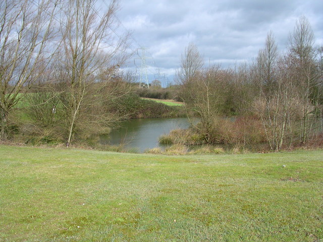
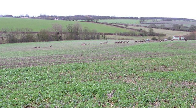
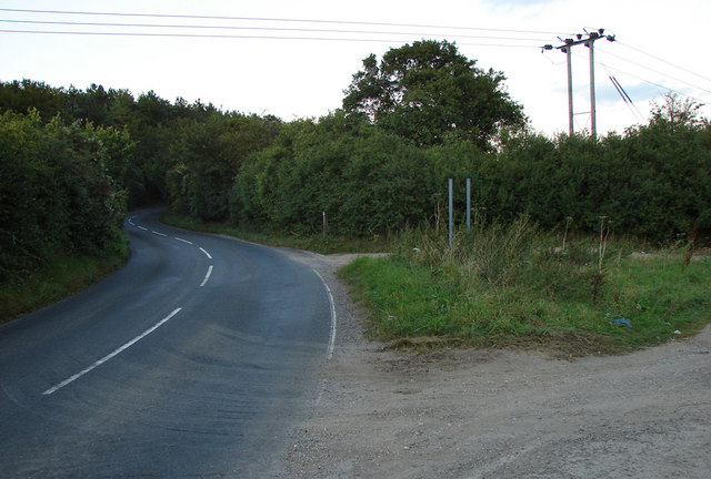
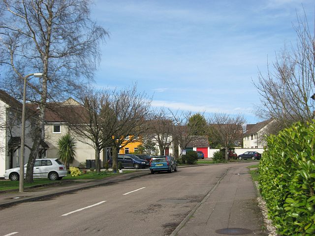
Grimsditch Wood Images

Images are sourced within 2km of 52.042211/0.25450345 or Grid Reference TL5440. Thanks to Geograph Open Source API. All images are credited.

Stonebridge Farm, Little Walden, Essex
'The Crown' inn, Little Walden, Essex This inn stands at the bend in the road through the small hamlet of Little Walden.
'The Crown' inn, Little Walden, Essex
This inn stands at the bend in the road through the small hamlet of Little Walden.
Dame Johanne Bradbury's School, Saffron Walden, Essex
Little Walden Road This is the B.1052 on the northern side of Saffron Walden.
Little Walden Road
This is the B.1052 on the northern side of Saffron Walden.
Westley Lane leading to Westley Farm
Modern housing at Goddard Way
Field track and pylons
Oakfield Cottage Perfectly maintained.
Oakfield Cottage
Perfectly maintained.
Turn Right at the tree for Grimsditch Wood. The aerial to the left is in TL 5735. The building on the horizon is Butlers Farm where Harcamlow Way passes to the Southwest.
Turn Right at the tree for Grimsditch Wood.
The aerial to the left is in TL 5735. The building on the horizon is Butlers Farm where Harcamlow Way passes to the Southwest.
Looking across the Harcamlow Way to Butlers Farm. Trying to sneek up on 11 deer around the corner to the right.
Looking across the Harcamlow Way to Butlers Farm.
Trying to sneek up on 11 deer around the corner to the right.
11 deer. Zooming through the haze.
11 deer.
Zooming through the haze.
13 deer here This herd is half the size of the one that got away.
13 deer here
This herd is half the size of the one that got away.
Electric pond
Electric pond
31 or so that got away And then we went to that pub.
31 or so that got away
And then we went to that pub.
The road to Ashdon (north-east of Saffron Walden) A well used and open gated farm track joins the Ashdon road at the bottom of the hill (before the Redgate junction)
The road to Ashdon (north-east of Saffron Walden)
A well used and open gated farm track joins the Ashdon road at the bottom of the hill (before the Redgate junction)
Making your house stand out in De Vigier Avenue Someone's decided to brighten up this rather drab road on the edge of Saffron Walden.

David Hallam-Jones provided the following historical context to the name of the road. It is named after Swiss-born William de Vigier, who came to London in 1935 who invented the "Acrow prop". Apparently at first the old-fashioned builders preferred the established timber props, cut to fit for each job. However, the break for Vigier's adjustable props came when they were adopted by a few large builders, including McAlpines. By 1939, over 40,000 Acrow props were in use. Vigier’s company was named the Acrow Group, after his solicitor (Mr) A Crowe. Vigour adopted this name for his props as, like Kodak, it was an easily pronounceable neologism, with the additional advantage of appearing early in alphabetical lists. The nearby Ashdon Road Commercial
Centre was formerly home to an Acrow factory.
Making your house stand out in De Vigier Avenue
Someone's decided to brighten up this rather drab road on the edge of Saffron Walden. David Hallam-Jones provided the following historical context to the name of the road. It is named after Swiss-born William de Vigier, who came to London in 1935 who invented the "Acrow prop". Apparently at first the old-fashioned builders preferred the established timber props, cut to fit for each job. However, the break for Vigier's adjustable props came when they were adopted by a few large builders, including McAlpines. By 1939, over 40,000 Acrow props were in use. Vigier’s company was named the Acrow Group, after his solicitor (Mr) A Crowe. Vigour adopted this name for his props as, like Kodak, it was an easily pronounceable neologism, with the additional advantage of appearing early in alphabetical lists. The nearby Ashdon Road Commercial Centre was formerly home to an Acrow factory.
Countryside view Up on the ridge, a fair amount of countryside can be seen. The ridge at the back is above Littlebury, about five miles away.
Countryside view
Up on the ridge, a fair amount of countryside can be seen. The ridge at the back is above Littlebury, about five miles away.
Edge of the maze, Bridge End Garden
Show me another place!

Grimsditch Wood is located at Grid Ref: TL5440 (Lat: 52.042211, Lng: 0.25450345)

Administrative County: Essex

District: Uttlesford

Police Authority: Essex

What 3 Words

///crop.prayers.eggplants. Near Saffron Walden, Essex

Nearby Locations

Grimsditch Wood

Related Wikis

Little Walden

Little Walden is a small settlement in the Uttlesford district, in the English county of Essex. It lies about 3 miles (5 km) north of the market town of...

Acrow Halt railway station

Acrow Halt was a railway station on the Saffron Walden Railway. Located at the north-eastern edge of Saffron Walden, Essex, the station was close to the...

Saffron Walden Grammar School

Saffron Walden Free Grammar School (or Saffron Walden Grammar School) was a school in the Essex town of Saffron Walden, which for over four hundred years...

Saffron Walden Town F.C.

Saffron Walden Town Football Club is a football club based in Saffron Walden, Essex, England. They are currently members of the Essex Senior League and...
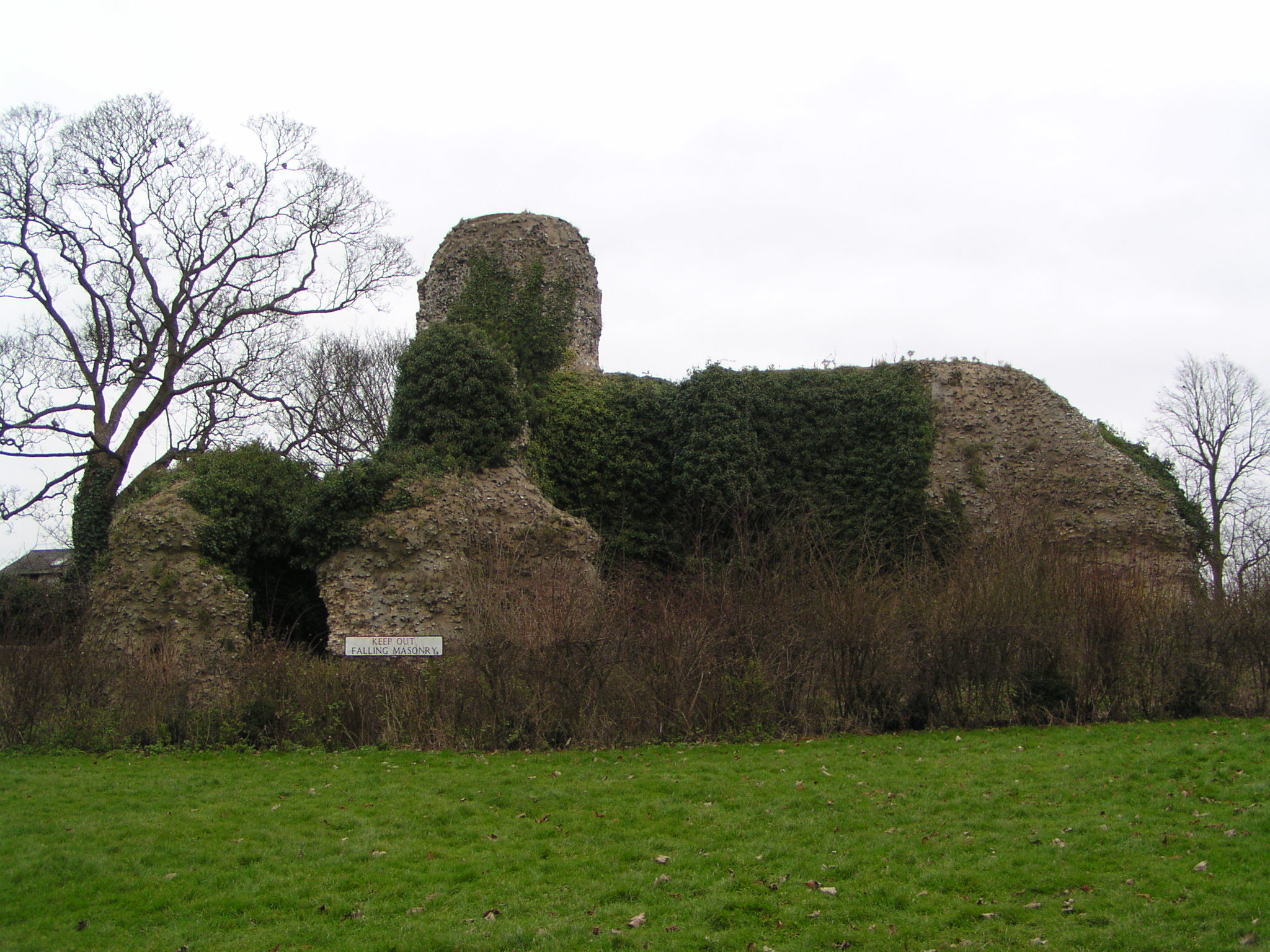
Walden Castle

Walden Castle was a medieval castle in Essex, England, built during the Anarchy of the 12th century. Only the ruined core of the structure remains today...

Bridge End Gardens

Bridge End Gardens is a group of linked ornamental gardens in Saffron Walden, Essex, England. The gardens are listed Grade II* on the Register of Parks...

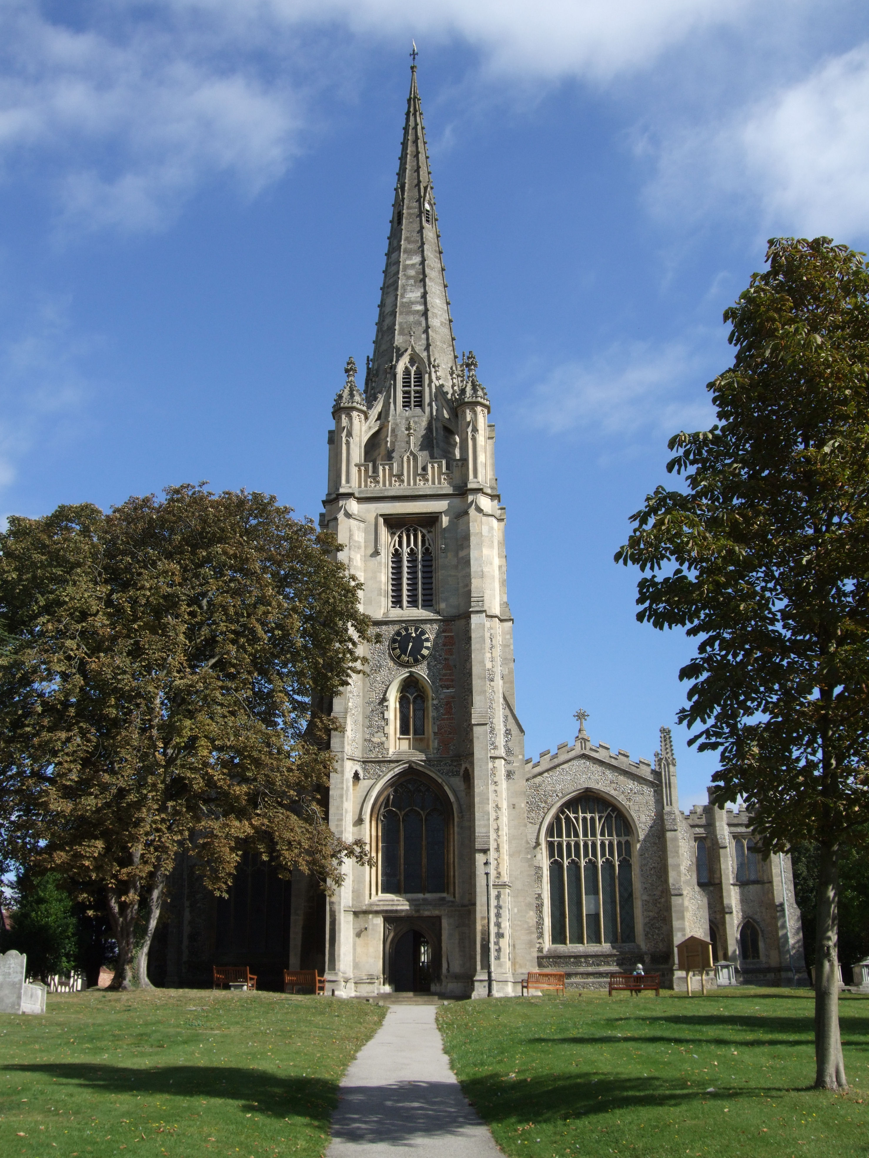
St Mary the Virgin, Saffron Walden

St Mary the Virgin is the parish church of Saffron Walden, Essex. It is the largest non-cathedral church in Essex with an overall length of 183 feet (56...

Barclays Bank, Saffron Walden

Barclays Bank, Market Place, Saffron Walden, Essex, England has been designated a Grade II* listed building by Historic England. It was first listed in...

Nearby Amenities

Located within 500m of 52.042211,0.25450345
Power: pole
Lat/Long: 52.0388669/0.2565613
Power: pole
Lat/Long: 52.0395565/0.253037
Power: pole
Lat/Long: 52.0391539/0.2551344
Power: pole
Lat/Long: 52.0415099/0.2483055
Power: pole
Lat/Long: 52.0463394/0.2524281
Power: pole
Lat/Long: 52.0422408/0.2488259
Power: pole
Lat/Long: 52.0455748/0.2517709
Power: pole
Lat/Long: 52.040068/0.2518393
Power: pole
Lat/Long: 52.0429101/0.2493275
Power: pole
Lat/Long: 52.0434496/0.2498196
Power: pole
Lat/Long: 52.0410549/0.2494347
Power: pole
Lat/Long: 52.0441693/0.2504728
Power: pole
Lat/Long: 52.0405497/0.2506444
Power: pole
Lat/Long: 52.0448886/0.251142
Power: pole
Lat/Long: 52.0386004/0.2579252
The data included in this document is from www.openstreetmap.org. The data is made available under ODbL.

Have you been to Grimsditch Wood?

Leave your review of Grimsditch Wood below (or comments, questions and feedback).