Court Wood
Wood, Forest in Sussex Wealden
England
Court Wood
Court Wood is a picturesque woodland area located in the county of Sussex, England. Situated near the village of Forest, the wood is known for its natural beauty and diverse ecosystem. Covering an area of approximately 100 acres, Court Wood is a popular destination for nature enthusiasts and outdoor enthusiasts alike.
The wood boasts a variety of tree species, such as oak, beech, and birch, which provide a lush canopy and create a serene environment. The forest floor is carpeted with an array of wildflowers and ferns, adding to the idyllic charm of the woodland. Numerous walking trails crisscross the wood, allowing visitors to explore its hidden corners and discover its enchanting beauty.
Court Wood is also home to a rich array of wildlife. Birdwatchers can spot various species, including woodpeckers, owls, and warblers, while animal lovers may encounter squirrels, rabbits, and even deer. The wood's tranquil atmosphere and abundance of natural resources make it an ideal habitat for many creatures.
In addition to its natural treasures, Court Wood holds historical significance. The wood was once part of an estate owned by a local noble family, and remnants of an ancient manor house can still be found within its boundaries. These historical remnants add a touch of intrigue and make Court Wood a fascinating place to explore for history enthusiasts.
Overall, Court Wood in Sussex offers a unique blend of natural beauty, biodiversity, and historical significance. Whether it's for a leisurely stroll, birdwatching, or simply enjoying the tranquility of nature, Court Wood is a must-visit destination for anyone seeking an escape into the natural wonders of Sussex.
If you have any feedback on the listing, please let us know in the comments section below.
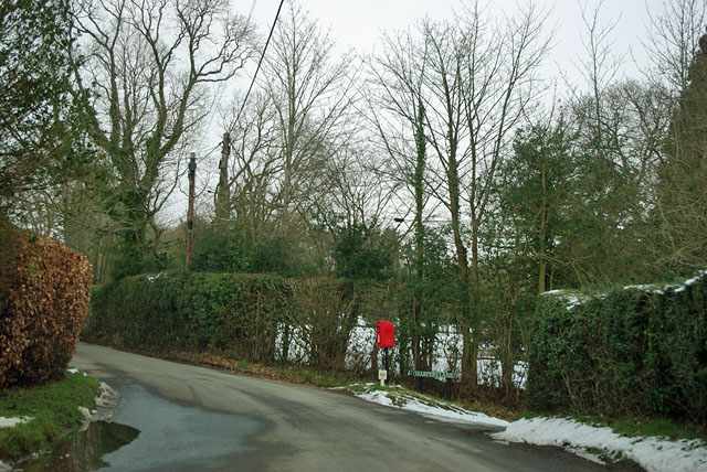
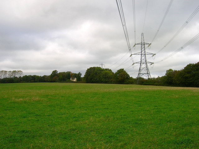
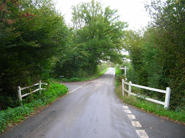
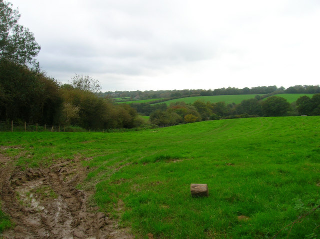
Court Wood Images
Images are sourced within 2km of 50.94433/0.19805085 or Grid Reference TQ5418. Thanks to Geograph Open Source API. All images are credited.


Court Wood is located at Grid Ref: TQ5418 (Lat: 50.94433, Lng: 0.19805085)
Administrative County: East Sussex
District: Wealden
Police Authority: Sussex
What 3 Words
///splashes.warp.downfield. Near Horam, East Sussex
Nearby Locations
Related Wikis

Waldron Cutting
Waldron Cutting is a 0.2-hectare (0.49-acre) geological Site of Special Scientific Interest in East Sussex. It is a Geological Conservation Review site...

Selwyns Wood
Selwyns Wood is a 11-hectare (27-acre) nature reserve west of Heathfield in Sussex. It is managed by the Sussex Wildlife Trust.This reserve has woodland...

Roser's Cross
Roser's Cross is a village in the Wealden district of East Sussex.

Holy Cross Priory, Cross-in-Hand
Holy Cross Priory, Cross-in-Hand, is a priory of the Benedictine Sisters of Grace and Compassion which provides homes for the elderly. It was established...

Horam
Horam is a village, electoral ward and civil parish in the Wealden District of East Sussex, situated three miles (4.8 km) south of Heathfield. Included...
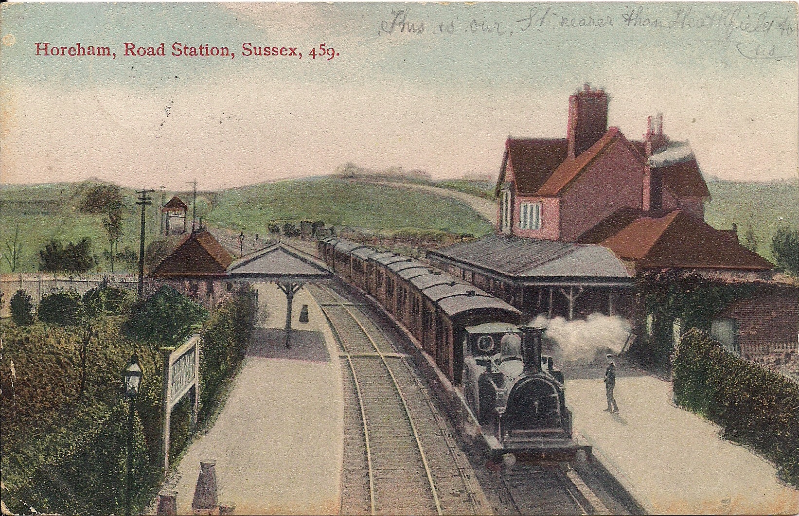
Horam railway station
Horam railway station was on the Cuckoo Line between Hellingly and Heathfield, serving the village of Horam. == History == The station was opened by the...
Maynard's Green
Maynard's Green is a village in the Wealden district of East Sussex. == External links == Maynards Green Community Primary School

New Mill, Cross-in-Hand
New Mill is a Grade II* listed post mill at Cross in Hand near Heathfield, East Sussex, England. It was the last windmill working commercially by wind...
Nearby Amenities
Located within 500m of 50.94433,0.19805085Have you been to Court Wood?
Leave your review of Court Wood below (or comments, questions and feedback).