Workhouse Wood
Wood, Forest in Sussex Wealden
England
Workhouse Wood

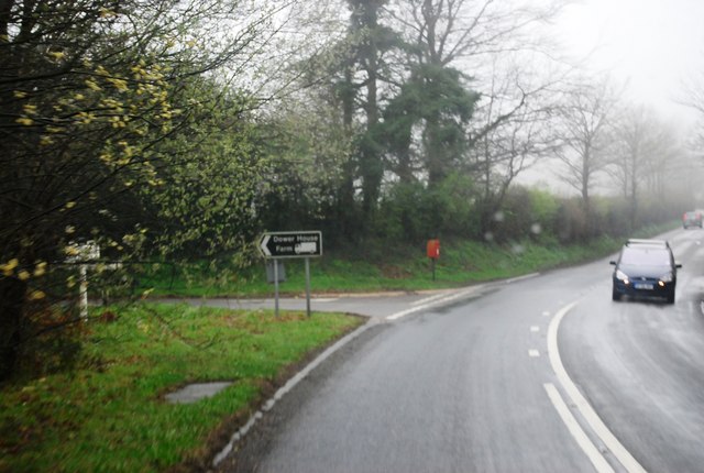
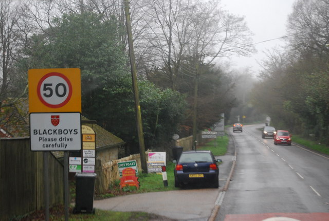
Workhouse Wood is a picturesque woodland located in Sussex, England. Covering an area of approximately 50 acres, it is known for its diverse flora and fauna, making it a popular destination for nature enthusiasts and hikers alike.
The woodland is primarily composed of a mixture of broadleaf trees, including oak, beech, and birch, creating a dense and vibrant canopy. The forest floor is carpeted with a variety of wildflowers, such as bluebells and primroses, adding a splash of color to the scenery during the spring months.
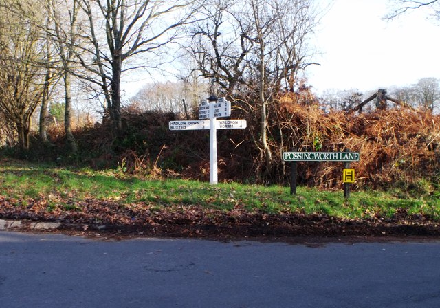
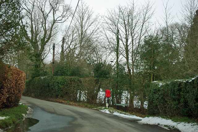
Numerous walking trails crisscross the wood, allowing visitors to explore its beauty at their own pace. These paths lead through ancient woodlands, offering glimpses of wildlife such as deer, badgers, and various bird species. The tranquil atmosphere and the sound of birdsong provide a sense of peace and serenity for those seeking a peaceful getaway from the hustle and bustle of everyday life.
Workhouse Wood also holds historical significance, as the name itself suggests. It is believed that the area was once home to a workhouse, a type of institution where the poor and destitute would seek refuge and employment during the 18th and 19th centuries. Although no remains of the workhouse are visible today, the wood serves as a reminder of the region's past.
Overall, Workhouse Wood is a true gem of Sussex, offering visitors a chance to immerse themselves in the natural beauty of the English countryside while also providing a glimpse into its history.
If you have any feedback on the listing, please let us know in the comments section below.
Workhouse Wood Images
Images are sourced within 2km of 50.954458/0.19747509 or Grid Reference TQ5419. Thanks to Geograph Open Source API. All images are credited.


Workhouse Wood is located at Grid Ref: TQ5419 (Lat: 50.954458, Lng: 0.19747509)
Administrative County: East Sussex
District: Wealden
Police Authority: Sussex
What 3 Words
///buzz.division.smarting. Near Horam, East Sussex
Nearby Locations
Related Wikis

Waldron Cutting
Waldron Cutting is a 0.2-hectare (0.49-acre) geological Site of Special Scientific Interest in East Sussex. It is a Geological Conservation Review site...

Selwyns Wood
Selwyns Wood is a 11-hectare (27-acre) nature reserve west of Heathfield in Sussex. It is managed by the Sussex Wildlife Trust.This reserve has woodland...

Roser's Cross
Roser's Cross is a village in the Wealden district of East Sussex.

Holy Cross Priory, Cross-in-Hand
Holy Cross Priory, Cross-in-Hand, is a priory of the Benedictine Sisters of Grace and Compassion which provides homes for the elderly. It was established...

New Mill, Cross-in-Hand
New Mill is a Grade II* listed post mill at Cross in Hand near Heathfield, East Sussex, England. It was the last windmill working commercially by wind...

Cross-in-Hand
Cross-in-Hand is a small village outside Heathfield town to its west, in the Wealden District situated in East Sussex, England. It is occasionally referred...

Heathfield transmitting station
The Heathfield transmitting station is a facility for FM and television transmission at Heathfield, East Sussex, UK (grid reference TQ566220). Opened in...
Maynard's Green
Maynard's Green is a village in the Wealden district of East Sussex. == External links == Maynards Green Community Primary School
Nearby Amenities
Located within 500m of 50.954458,0.19747509Have you been to Workhouse Wood?
Leave your review of Workhouse Wood below (or comments, questions and feedback).