Elgin Coppice

Wood, Forest in Essex Uttlesford

England

Elgin Coppice

Road junction between Brickkiln Spring and Canfield Hart These are each the names of woods nearby. The B183 runs across ahead in the shot.
Road junction between Brickkiln Spring and Canfield Hart Credit: Trevor Harris

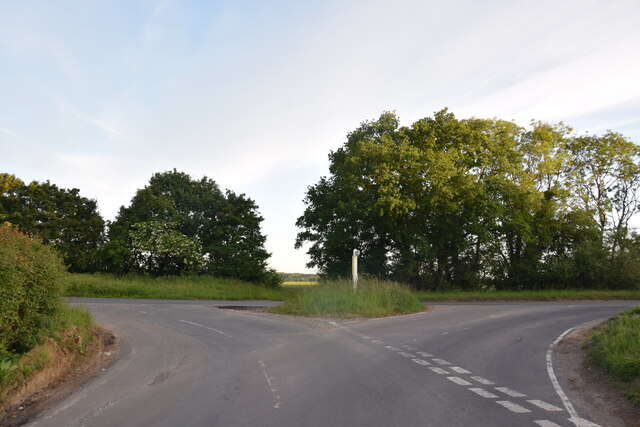
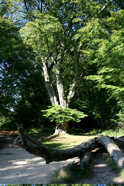
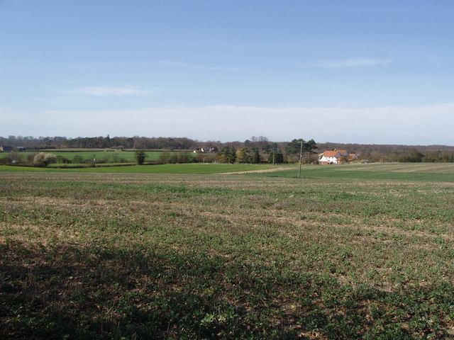
Elgin Coppice is a woodland area located in the county of Essex, England. Covering an expansive area, it is known for its dense forest and rich biodiversity. The coppice is situated near the town of Elgin, which lends its name to the woodland.

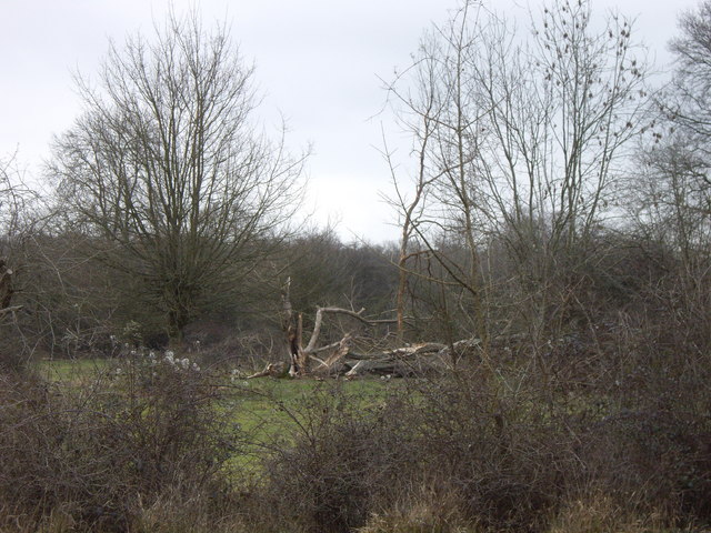
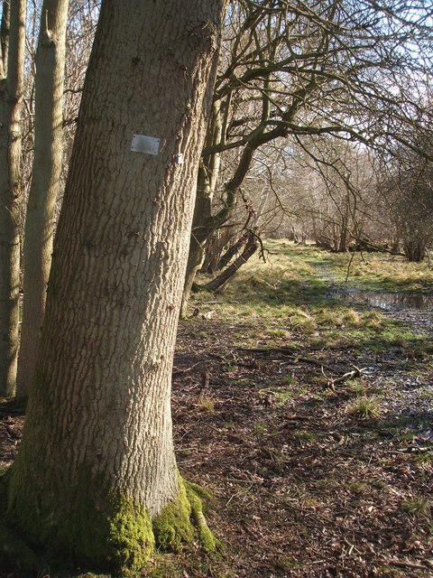
The coppice primarily consists of deciduous trees, such as oak, beech, and birch, which create a vibrant and colorful landscape throughout the year. These trees are carefully managed through a traditional method known as coppicing, which involves periodically cutting the trees at ground level to encourage new growth. This practice has been followed for centuries and ensures a sustainable source of timber and promotes the growth of diverse flora and fauna.

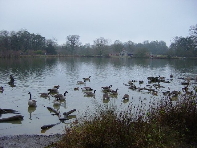
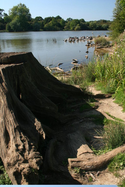
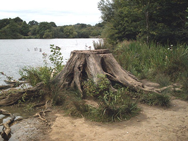
The woodland is a haven for wildlife, providing a habitat for numerous species. It is home to a variety of birds, including woodpeckers, owls, and songbirds, which fill the air with their melodious tunes. Small mammals like squirrels, rabbits, and foxes can also be found among the trees, while the undergrowth supports a plethora of insects and invertebrates.

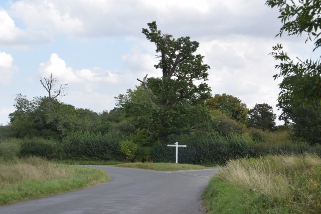
Elgin Coppice offers visitors the opportunity to immerse themselves in nature and enjoy its tranquility. It provides picturesque walking trails, allowing hikers to explore the woodland and discover its hidden treasures. The lush greenery and the soothing sounds of nature make it an ideal spot for relaxation and rejuvenation.

Overall, Elgin Coppice in Essex is a beautiful and ecologically diverse woodland, offering a glimpse into the natural wonders of the area. Its carefully managed trees, abundant wildlife, and recreational opportunities make it a cherished destination for nature enthusiasts and locals alike.

If you have any feedback on the listing, please let us know in the comments section below.

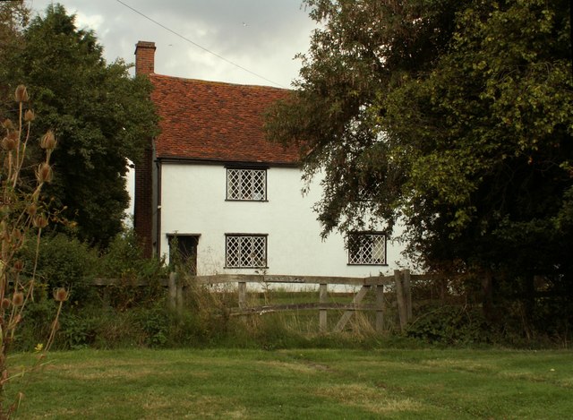
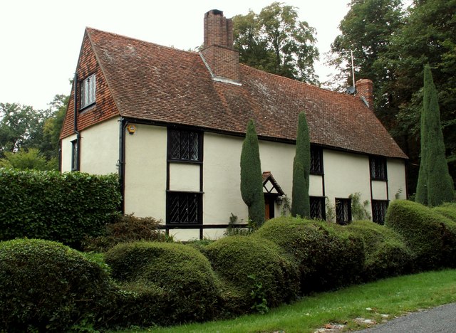
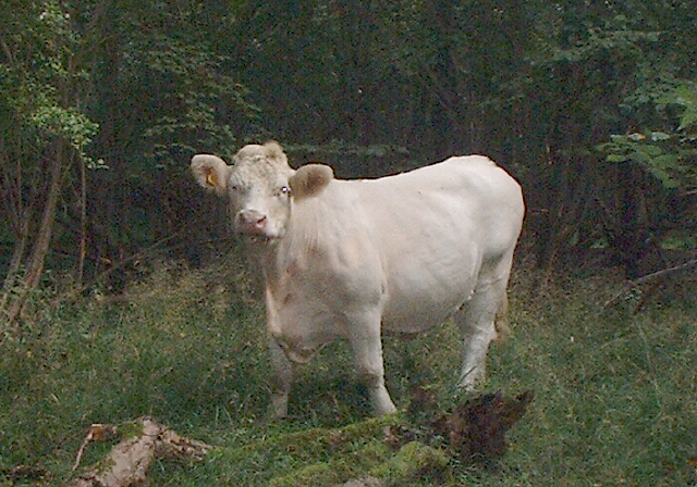
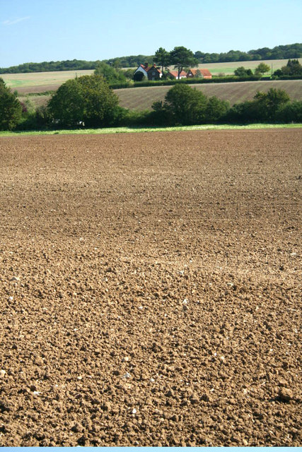
Elgin Coppice Images

Images are sourced within 2km of 51.861093/0.23859472 or Grid Reference TL5420. Thanks to Geograph Open Source API. All images are credited.

Road junction between Brickkiln Spring and Canfield Hart These are each the names of woods nearby. The B183 runs across ahead in the shot.
Road junction between Brickkiln Spring and Canfield Hart
These are each the names of woods nearby. The B183 runs across ahead in the shot.
Junction and Sign The meeting of Hatfield Forest Road/ Wood Row/ Greenhill.
Junction and Sign
The meeting of Hatfield Forest Road/ Wood Row/ Greenhill.
Finger post at junction near Bridgefoot Farm Directions shown are left to Takeley and Hatfield Forest, right to Hatfield Broad Oak, and towards the photographer, to Woodside Green and Hallingbury. For a close-up see photo from contributor David Bremner <a href="https://www.geograph.org.uk/photo/7329457">TL5418 : Junction and Sign</a>
Finger post at junction near Bridgefoot Farm
Directions shown are left to Takeley and Hatfield Forest, right to Hatfield Broad Oak, and towards the photographer, to Woodside Green and Hallingbury. For a close-up see photo from contributor David Bremner TL5418 : Junction and Sign
Little Barrington Hall Farm
Hatfield Forest. Now a popular park cared for by the National Trust.
Hatfield Forest.
Now a popular park cared for by the National Trust.
The Shell House, Hatfield Forest Jacob Houblon III built The Shell House in about 1754. It was attached to a cottage by his new lake and was occupied by a housekeeper who kept poultry and peacocks. The cottage was later demolished. The Shell House has recently been restored by The National Trust.
The Shell House, Hatfield Forest
Jacob Houblon III built The Shell House in about 1754. It was attached to a cottage by his new lake and was occupied by a housekeeper who kept poultry and peacocks. The cottage was later demolished. The Shell House has recently been restored by The National Trust.
The Lake, Hatfield Forest Looking SW across to the Shell House. This lake was created by Jacob Houblon III in circa 1750 from marshland fed by the Shermore Brook.
The Lake, Hatfield Forest
Looking SW across to the Shell House. This lake was created by Jacob Houblon III in circa 1750 from marshland fed by the Shermore Brook.
House at Bush End, near Hatfield Forest, Essex
Howletts, Hallingbury Street, Essex Hallingbury Street is a dead-end road that is full of interesting houses. This old house stands by the start of the street in Bedlars Green.
Howletts, Hallingbury Street, Essex
Hallingbury Street is a dead-end road that is full of interesting houses. This old house stands by the start of the street in Bedlars Green.
Bridgefoot Farm and footbridge The farm gets its name from standing by the footbridge, which is used when the small stream running beneath floods the road.
Bridgefoot Farm and footbridge
The farm gets its name from standing by the footbridge, which is used when the small stream running beneath floods the road.
Heifer, Lodge Coppice, Hatfield Forest
High House Farm, Bush End
Hatfield Forest In Gravelpit Coppice near the lake.
Hatfield Forest
In Gravelpit Coppice near the lake.
The Lake, Hatfield Forest
Damaged trees in Hatfield Park Some unfortunate casualties from the storms in January 2007. Be sure to bring some wellies if you're venturing here too, it's a bit muddy!!
Damaged trees in Hatfield Park
Some unfortunate casualties from the storms in January 2007. Be sure to bring some wellies if you're venturing here too, it's a bit muddy!!
A ride (track) in Round Coppice, Hatfield Forest Hatfield Forest National Nature Reserve is owned and managed by the National Trust.
A ride (track) in Round Coppice, Hatfield Forest
Hatfield Forest National Nature Reserve is owned and managed by the National Trust.
Watch out- there's an airport about! Looking across this Essex farming landscape, it's difficult to believe that on the horizon is one of the busiest airports in Britain.  This is a view towards Little Barrington Hall and beyond that Hatfield Forest which is a National Trust countryside park.  If BAA get their way and Stansted Airport is tripled in size over the next 15 years, then areas like this will disappear under concrete and sprawling buildings disfigure the landscape.
Watch out- there's an airport about!
Looking across this Essex farming landscape, it's difficult to believe that on the horizon is one of the busiest airports in Britain. This is a view towards Little Barrington Hall and beyond that Hatfield Forest which is a National Trust countryside park. If BAA get their way and Stansted Airport is tripled in size over the next 15 years, then areas like this will disappear under concrete and sprawling buildings disfigure the landscape.
Lakeside stump Hatfield Forest.
Lakeside stump
Hatfield Forest.
Show me another place!

Elgin Coppice is located at Grid Ref: TL5420 (Lat: 51.861093, Lng: 0.23859472)

Administrative County: Essex

District: Uttlesford

Police Authority: Essex

What 3 Words

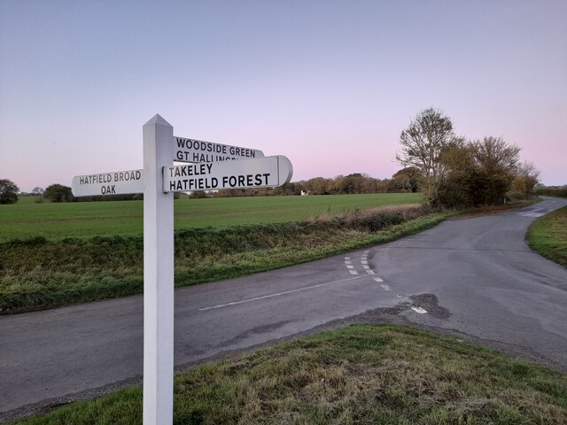
///easily.insects.gent. Near Takeley, Essex

Related Wikis

Hatfield Forest

Hatfield Forest is a 403.2-hectare (996-acre) biological Site of Special Scientific Interest in Essex, three miles east of Bishop's Stortford. It is also...

Stane Street Halt railway station

Stane Street Halt railway station was a station serving the community of Takeley Street to the west of the village of Takeley near Bishop's Stortford,...

Portingbury Hills

Portingbury Hills (grid reference TL5320) or Portingbury Rings is a hill in Hatfield Forest, Hatfield Broad Oak, Essex, United Kingdom. == Artefacts... ==

Korean Air Cargo Flight 8509

Korean Air Cargo Flight 8509 was a Boeing 747-2B5F, registered HL7451 bound for Milan Malpensa Airport, that crashed due to instrument malfunction and...

The Christian School, Takeley

The Christian School (Takeley) is an independent Christian school located in Takeley, Bishop's Stortford, Essex. The school caters for children of 7 through...

Takeley

Takeley is a village and civil parish in the Uttlesford district of Essex, England. == History == A number of theories have arisen over the origin of the...

Takeley railway station

Takeley railway station was a station serving the Hockerill area of Takeley in Bishop's Stortford, England. The station was 5 miles 11 chains (8.27 km...

Takeley F.C.

Takeley Football Club is an English football club based in Takeley, Essex. The club are currently members of the Essex Senior League and play at Station...

Nearby Amenities

Located within 500m of 51.861093,0.23859472
Parking
Access: yes
Fee: yes
Parking: surface
Lat/Long: 51.8599847/0.2354817
Elgin Coppice
Place: locality
Lat/Long: 51.8609432/0.2390491
Gravelpit Coppice
Place: locality
Lat/Long: 51.8577892/0.23921
Spittlemore Coppice
Place: locality
Lat/Long: 51.8644813/0.2384053
Barrier: cattle_grid
Lat/Long: 51.8592466/0.2450634
Crossing
Lat/Long: 51.8616044/0.2444697
Middle Hollows
Place: locality
Lat/Long: 51.859439/0.2434572
The data included in this document is from www.openstreetmap.org. The data is made available under ODbL.

Have you been to Elgin Coppice?

Leave your review of Elgin Coppice below (or comments, questions and feedback).