Scripp Wood

Wood, Forest in Sussex Wealden

England

Scripp Wood

The church without dedication, East Hoathly
The church without dedication, East Hoathly Credit: Stephen Dawson

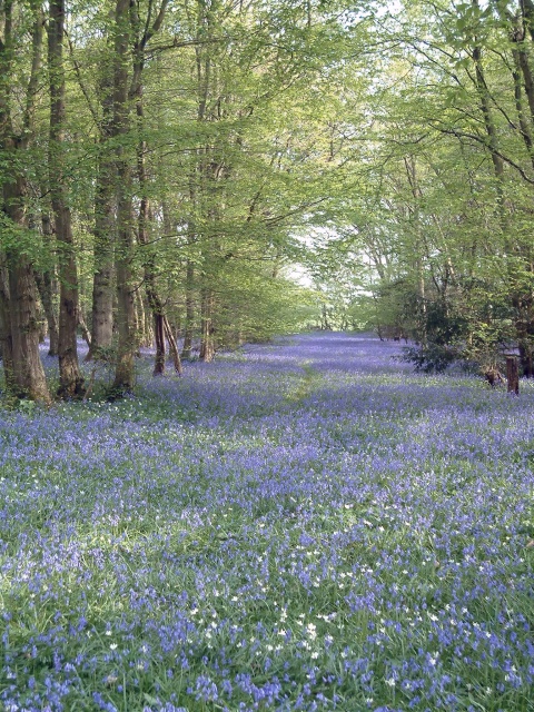
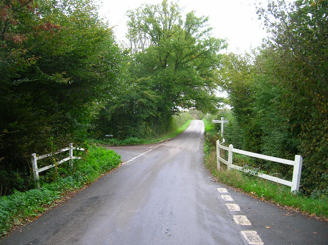
Scripp Wood, located in Sussex, England, is a picturesque forest that covers a significant area of the region. This woodland is home to an abundance of diverse flora and fauna, making it a popular destination for nature enthusiasts and wildlife lovers.

The forest, spanning over several hundred acres, is predominantly composed of deciduous trees such as oak, beech, and ash, creating a stunning display of vibrant colors during the autumn season. The towering trees provide a shady canopy, allowing sunlight to filter through, creating a tranquil and peaceful atmosphere within the wood.

Scripp Wood is crisscrossed by a network of well-maintained footpaths and trails, providing visitors with the opportunity to explore its beauty. These paths lead to hidden gems within the forest, including secluded ponds and streams, which are home to an array of aquatic life.

The woodland is also known for its rich biodiversity. Numerous species of birds, including woodpeckers, owls, and warblers, can be spotted among the branches, while mammals such as foxes, deer, and squirrels roam the forest floor. Additionally, the forest provides a habitat for various insects, butterflies, and fungi.

Scripp Wood is not only a haven for wildlife but also a recreational space for visitors. It offers picnic areas, camping facilities, and designated spots for birdwatching. The forest is managed by local authorities, ensuring its preservation and protection for future generations to enjoy.

Overall, Scripp Wood in Sussex is a captivating forest that showcases the beauty of nature. With its enchanting landscapes, diverse wildlife, and ample recreational opportunities, it provides a delightful retreat for individuals seeking solace in the great outdoors.

If you have any feedback on the listing, please let us know in the comments section below.
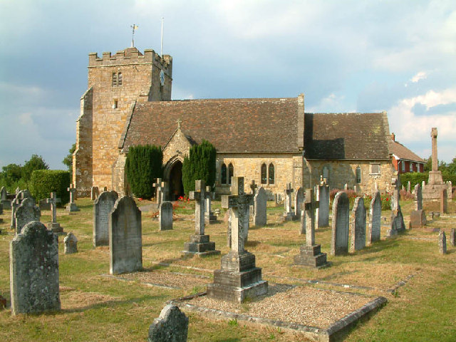
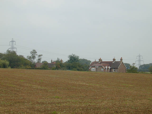
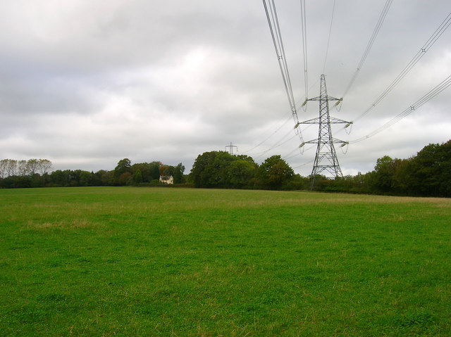
Scripp Wood Images

Images are sourced within 2km of 50.933599/0.19287651 or Grid Reference TQ5417. Thanks to Geograph Open Source API. All images are credited.

The church without dedication, East Hoathly
Gray Wood Gray Wood, East Hoathly - in late April the Wood is anything but gray!  The woodland in private, but can be viewed from the Vanguard Way footpath.
Gray Wood
Gray Wood, East Hoathly - in late April the Wood is anything but gray! The woodland in private, but can be viewed from the Vanguard Way footpath.
Across the fields to Davis's Town This photograph was taken from the footpath forming part of the Thomas Turner walk near Great Wood, just outside the village of East Hoathly.
Across the fields to Davis's Town
This photograph was taken from the footpath forming part of the Thomas Turner walk near Great Wood, just outside the village of East Hoathly.
Oasthouses, Stream Farm The area also contains a mill and the site of a former ironworks. Unfortunately the bridleway that accesses it is currently shut due to a faulty bridge.
Oasthouses, Stream Farm
The area also contains a mill and the site of a former ironworks. Unfortunately the bridleway that accesses it is currently shut due to a faulty bridge.
Dern Lane Taking you to Waldron and Lions Green.
Dern Lane
Taking you to Waldron and Lions Green.
Oast House, Holdens Farm The rather dreary day has obscured the view to Chiddingly church, whose spire can be viewed between the oast house and tree.
Oast House, Holdens Farm
The rather dreary day has obscured the view to Chiddingly church, whose spire can be viewed between the oast house and tree.
Field opposite Broomfield Farm Looking towards Minepit Wood and Summersbrook Wood.
Field opposite Broomfield Farm
Looking towards Minepit Wood and Summersbrook Wood.
Electricity Pylons near Cinder Wood The house to the left is Scallow Lodge.
Electricity Pylons near Cinder Wood
The house to the left is Scallow Lodge.
Scallow Bridge The bridge is marked by the white railings. Lane to the left goes to Cross in Hand, the one to the right heads south to Whitesmith, straight ahead for Foxhunt Green and Horam.
Scallow Bridge
The bridge is marked by the white railings. Lane to the left goes to Cross in Hand, the one to the right heads south to Whitesmith, straight ahead for Foxhunt Green and Horam.
Outbuildings, Foxhunt Park Farm
Pond, Braysland Farm The outbuildings can just be made out on the far side of the pond.
Pond, Braysland Farm
The outbuildings can just be made out on the far side of the pond.
Foxhunt Green Typical of the number of hamlets found in this part of the Weald which is indicative of how the area was originally settled piecemeal in the middle ages by those prepared to hack away the forest and build small farms and settlements.
Foxhunt Green
Typical of the number of hamlets found in this part of the Weald which is indicative of how the area was originally settled piecemeal in the middle ages by those prepared to hack away the forest and build small farms and settlements.
Lions Green Cottage On Dern Lane, Roughland Wood is to the left of the lane.
Lions Green Cottage
On Dern Lane, Roughland Wood is to the left of the lane.
Weald near Horam Hook's Farm can just be made out to the left. Taken from Roughland Wood.
Weald near Horam
Hook's Farm can just be made out to the left. Taken from Roughland Wood.
Great Dern Wood With obligatory discarded empty can of Stella in the foreground.
Great Dern Wood
With obligatory discarded empty can of Stella in the foreground.
Coneyburrow Wood Just to confuse matters there are three woods of the same name within a couple of miles of each other. This one is to the south of Longshaw Farm. Taken from Dern Lane.
Coneyburrow Wood
Just to confuse matters there are three woods of the same name within a couple of miles of each other. This one is to the south of Longshaw Farm. Taken from Dern Lane.
Holms Farm Looking across a dry valley with Hawkhurst Common Wood beyond the farm. The farm is on the lane to Hawkhurst Common whilst the image was taken from Moat Lane the other side of the valley. Both ridges providing the route which avoided being bogged down in the clay below.
Holms Farm
Looking across a dry valley with Hawkhurst Common Wood beyond the farm. The farm is on the lane to Hawkhurst Common whilst the image was taken from Moat Lane the other side of the valley. Both ridges providing the route which avoided being bogged down in the clay below.
Footpath near Moat Farm Linking Moat Lane with the lane to Hawkhurst Common. The distance between field boundaries suggests the course of an old Green Lane though the land beyond the stream just beyond the trees has no been ploughed up leaving no trace.
Footpath near Moat Farm
Linking Moat Lane with the lane to Hawkhurst Common. The distance between field boundaries suggests the course of an old Green Lane though the land beyond the stream just beyond the trees has no been ploughed up leaving no trace.
Show me another place!

Scripp Wood is located at Grid Ref: TQ5417 (Lat: 50.933599, Lng: 0.19287651)

Administrative County: East Sussex

District: Wealden

Police Authority: Sussex

What 3 Words

///hilltop.corrupted.secret. Near Horam, East Sussex

Related Wikis

Waldron Cutting

Waldron Cutting is a 0.2-hectare (0.49-acre) geological Site of Special Scientific Interest in East Sussex. It is a Geological Conservation Review site...

Chiddingly

Chiddingly ( CHID-ing-lye) is an English village and civil parish in the Wealden District of the administrative county of East Sussex, within historic...

East Hoathly with Halland

East Hoathly with Halland is a civil parish in the Wealden District of East Sussex, England. The parish contains the two villages of East Hoathly and...

Whitesmith maze

A plantation of willows near Whitesmith, East Sussex, in England forms a maze in the shape of a quotation from the Bible. The maze was planted by local...

Horam

Horam is a village, electoral ward and civil parish in the Wealden District of East Sussex, situated three miles (4.8 km) south of Heathfield. Included...

Selwyns Wood

Selwyns Wood is a 11-hectare (27-acre) nature reserve west of Heathfield in Sussex. It is managed by the Sussex Wildlife Trust.This reserve has woodland...

Roser's Cross

Roser's Cross is a village in the Wealden district of East Sussex.

Gun Hill, East Sussex

Gun Hill is a hamlet in the civil parish of Chiddingly in the Wealden district of East Sussex, England. It is one of the seven hills of the parish in which...

Nearby Amenities

Located within 500m of 50.933599,0.19287651
Power: tower
Lat/Long: 50.9353899/0.190243
Power: tower
Lat/Long: 50.9326003/0.1989653
Power: tower
Lat/Long: 50.9339772/0.1947984
Graywood Farm
Place: farm
Source Name: OS_OpenData_Streetview
Lat/Long: 50.932726/0.1881248
The data included in this document is from www.openstreetmap.org. The data is made available under ODbL.

Have you been to Scripp Wood?

Leave your review of Scripp Wood below (or comments, questions and feedback).