Birch Wood

Wood, Forest in Sussex Wealden

England

Birch Wood

Crowborough Railway Station, Sussex Train seen departing for Uckfield, from Crowborough Railway Station. This station was formerly known as Jarvis Brook, and is nearly a mile from the town itself.
Crowborough Railway Station, Sussex Credit: Peter Trimming

Birch Wood is a picturesque forest located in Sussex, England. Spanning over a vast area, it is a haven for nature enthusiasts and outdoor lovers. The wood is primarily composed of birch trees, which dominate the landscape with their distinctive white bark and delicate leaves that shimmer in the sunlight.

The forest boasts an impressive array of flora and fauna. Walking through Birch Wood, visitors are greeted by a diverse range of plant life, including bluebells, ferns, and mosses. These vibrant colors and textures create a magical atmosphere, especially during the spring and summer seasons.

Wildlife thrives within Birch Wood, with various species finding sanctuary in its dense foliage. Birdwatchers can spot a multitude of feathered friends, such as woodpeckers, owls, and warblers. Additionally, the forest is home to mammals like squirrels, foxes, and deer, which can occasionally be glimpsed amidst the trees.

The wood offers an extensive network of footpaths and trails, allowing visitors to explore its beauty on foot or by bike. These paths lead to hidden clearings and tranquil spots, perfect for picnics or quiet contemplation. Moreover, Birch Wood is intersected by a meandering river, adding to the enchantment of the surroundings.

Nature conservation is a priority at Birch Wood, with efforts made to maintain the ecosystem's delicate balance. The forest is managed sustainably, ensuring the continued preservation of its natural beauty and biodiversity.

In conclusion, Birch Wood in Sussex is a captivating forest, offering a serene escape from the hustle and bustle of daily life. Its unique blend of birch trees, vibrant flora, and abundant wildlife make it a must-visit destination for nature enthusiasts and those seeking tranquility in the heart of nature.

If you have any feedback on the listing, please let us know in the comments section below.

Birch Wood Images

Images are sourced within 2km of 51.051148/0.19655578 or Grid Reference TQ5430. Thanks to Geograph Open Source API. All images are credited.

Crowborough Railway Station, Sussex Train seen departing for Uckfield, from Crowborough Railway Station. This station was formerly known as Jarvis Brook, and is nearly a mile from the town itself.
Crowborough Railway Station, Sussex
Train seen departing for Uckfield, from Crowborough Railway Station. This station was formerly known as Jarvis Brook, and is nearly a mile from the town itself.
Welcome Stranger, Jarvis Brook, Sussex Public house, just outside Crowborough Railway Station.
Welcome Stranger, Jarvis Brook, Sussex
Public house, just outside Crowborough Railway Station.
Catts Inn, Rotherfield The inn, on the Square at the end of the High Street, bears a date of 1741.  The Union Flags were probably flying as it was the day after St George's Day.
Catts Inn, Rotherfield
The inn, on the Square at the end of the High Street, bears a date of 1741. The Union Flags were probably flying as it was the day after St George's Day.
Rotherfield Stores A general store on The Square in the centre of the village.
Rotherfield Stores
A general store on The Square in the centre of the village.
Welcome Stranger, Jarvis Brook A Shepherd Neame pub at Farningham Road and Rotherfield Road junction.
Welcome Stranger, Jarvis Brook
A Shepherd Neame pub at Farningham Road and Rotherfield Road junction.
Welcome Stranger sign Sign for <a href="https://www.geograph.org.uk/photo/2426473">TQ5329 : Welcome Stranger, Jarvis Brook</a>, a Shepherd Neame pub at Farningham Road and Rotherfield Road junction.
Welcome Stranger sign
Sign for TQ5329 : Welcome Stranger, Jarvis Brook, a Shepherd Neame pub at Farningham Road and Rotherfield Road junction.
Railway Bridge over Crowborough Hill Stone and bridge arched bridge carrying the Oxted Line over the main road. Crowborough Station is just out of sight to the left of the bridge.
Railway Bridge over Crowborough Hill
Stone and bridge arched bridge carrying the Oxted Line over the main road. Crowborough Station is just out of sight to the left of the bridge.
Railway Bridge over Crowborough Hill Stone and bridge arched bridge carrying the Oxted Line over the B2100 main road towards Crowborough centre. Crowborough Station is just out of sight to the left of the bridge.
Railway Bridge over Crowborough Hill
Stone and bridge arched bridge carrying the Oxted Line over the B2100 main road towards Crowborough centre. Crowborough Station is just out of sight to the left of the bridge.
B2100 Crowborough Hill
St Michael & All Angels, Jarvis Brook
St Michael & All Angels, Jarvis Brook - Stained glass window St Nicholas
St Michael & All Angels, Jarvis Brook - Stained glass window
St Nicholas
St Michael & All Angels, Jarvis Brook - Stained glass window
St Michael & All Angels, Jarvis Brook - Chancel
St Michael & All Angels, Jarvis Brook - East end
Show me another place!

Birch Wood is located at Grid Ref: TQ5430 (Lat: 51.051148, Lng: 0.19655578)

Administrative County: East Sussex

District: Wealden

Police Authority: Sussex

What 3 Words

///pickup.beeline.fortified. Near Town Row, East Sussex

Related Wikis

Jarvis Brook

Jarvis Brook is a village between Crowborough and Rotherfield in the Borough of Wealden East Sussex. Crowborough Railway Station, on the Uckfield branch...

Crowborough railway station

Crowborough railway station is on the Uckfield branch of the Oxted Line in England, serving the town of Crowborough, East Sussex. It is 39 miles 11 chains...

Crowborough Country Park

Crowborough Country Park is a 7.3-hectare (18-acre) Local Nature Reserve on the western outskirts of Crowborough in East Sussex. It is owned and managed...

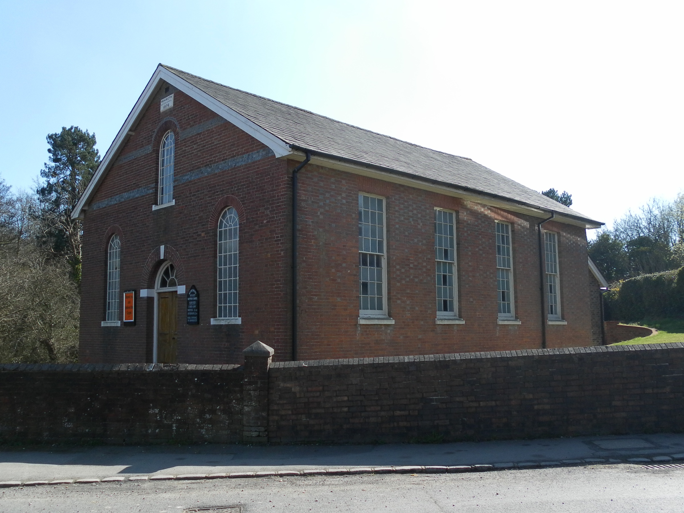
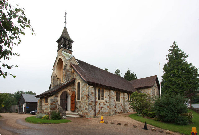
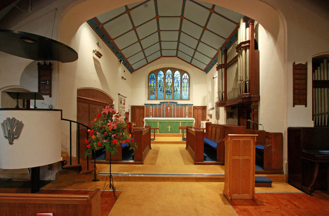
Rehoboth Chapel, Jarvis Brook

The Rehoboth Chapel is a Strict Baptist place of worship in the village of Jarvis Brook in the English county of East Sussex. The red- and blue-brick building...

Rotherfield

Rotherfield is a village and civil parish in the Wealden District of East Sussex, England. It is one of the largest parishes in East Sussex. There are...

Beacon Academy

Beacon Academy (formerly Beacon Community College) is a coeducational secondary school and sixth form located in Crowborough in the English county of East...
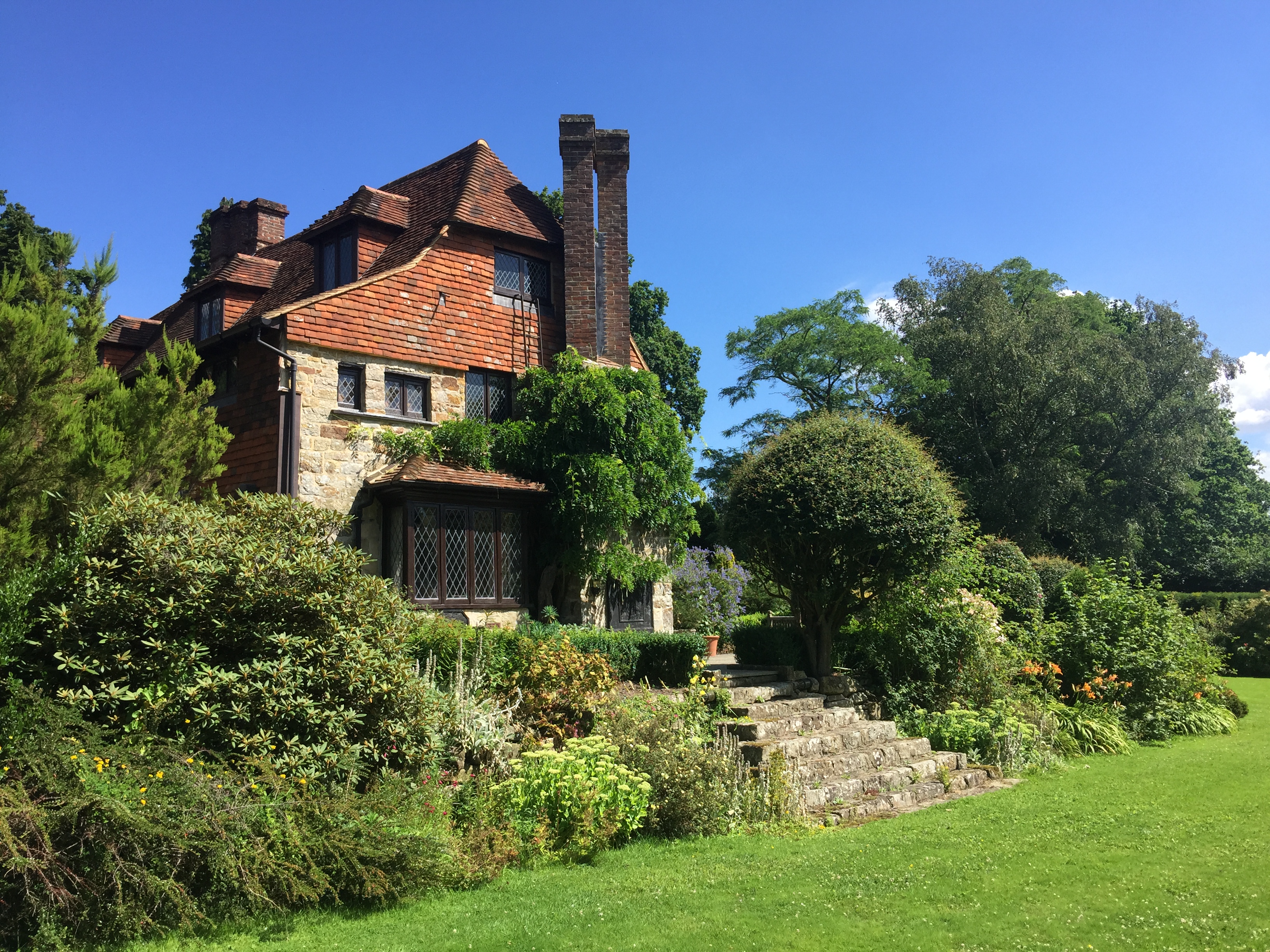
Luxford House

Luxford House is a 16th-century Grade II listed building near Crowborough, East Sussex. It is near the 11.5-acre (4.7 ha) Luxford Farm. It was used by...

Pratt's Mill, Crowborough

Pratt's Mill is a tower mill at Crowborough, Sussex, England which has been truncated and converted to residential accommodation. == History == Pratt...

Nearby Amenities

Located within 500m of 51.051148,0.19655578
Railway: switch
Source: Landsat photo
Lat/Long: 51.048316/0.1923868
Source: Landsat photo
Lat/Long: 51.049472/0.1948319
Source: Landsat photo
Lat/Long: 51.0505109/0.1968745
Parking
Lat/Long: 51.0496929/0.1909771
Turning Circle
Lat/Long: 51.0493278/0.1919453
Turning Circle
Lat/Long: 51.0495285/0.1930021
Post Box
Operator: Royal Mail
Operator Wikidata: Q638098
Post Box Type: lamp
Ref: TN6 339D
Royal Cypher: EIIR
Royal Cypher Wikidata: Q33102113
Lat/Long: 51.0499171/0.1910761
Crossing
Lat/Long: 51.0494306/0.1950974
Ford: yes
Lat/Long: 51.0473679/0.1971397
Footpath
Information: guidepost
Tourism: information
Lat/Long: 51.049427/0.1950513
Power: pole
Lat/Long: 51.0547015/0.193162
Power: pole
Lat/Long: 51.0538265/0.1936072
Power: pole
Lat/Long: 51.0529026/0.1940712
Power: pole
Lat/Long: 51.0519601/0.1945809
Power: pole
Lat/Long: 51.0502352/0.1957744
Power: pole
Lat/Long: 51.0482893/0.1971424
Power: pole
Lat/Long: 51.047372/0.1977673
Generator Method: photovoltaic
Generator Output Electricity: yes
Generator Source: solar
Generator Type: solar_photovoltaic_panel
Location: roof
Power: generator
Lat/Long: 51.0487741/0.1916894
Generator Method: photovoltaic
Generator Output Electricity: yes
Generator Source: solar
Generator Type: solar_photovoltaic_panel
Location: roof
Power: generator
Lat/Long: 51.0498617/0.1918678
Generator Method: photovoltaic
Generator Output Electricity: yes
Generator Source: solar
Generator Type: solar_photovoltaic_panel
Location: roof
Power: generator
Lat/Long: 51.0499376/0.1921548
Generator Method: photovoltaic
Generator Output Electricity: yes
Generator Source: solar
Generator Type: solar_photovoltaic_panel
Location: roof
Power: generator
Lat/Long: 51.0495649/0.1943958
Bus Stop
Jarvis Brook Heather Walk
Bus: yes
Public Transport: platform
Lat/Long: 51.0488591/0.1907986
Bus Stop
Jarvis Brook Brook Close
Bus: yes
Naptan AtcoCode: 1400WE0300
Naptan NaptanCode: esuawpga
Public Transport: platform
Lat/Long: 51.0500172/0.1906705
The data included in this document is from www.openstreetmap.org. The data is made available under ODbL.

Have you been to Birch Wood?

Leave your review of Birch Wood below (or comments, questions and feedback).