Farncombe
Settlement in Surrey Waverley
England
Farncombe
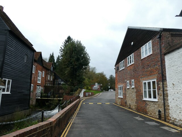
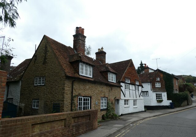
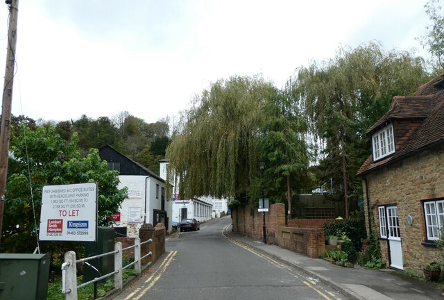
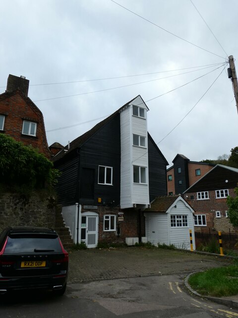
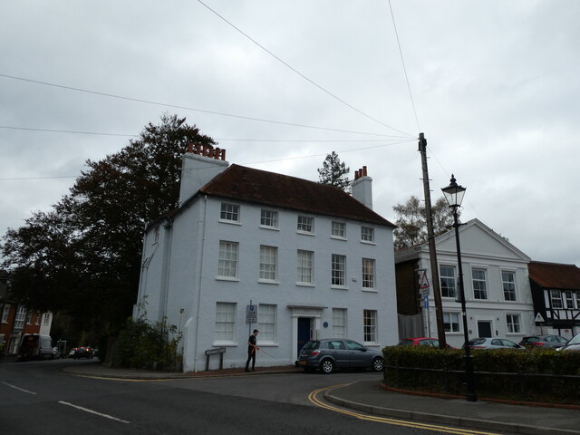
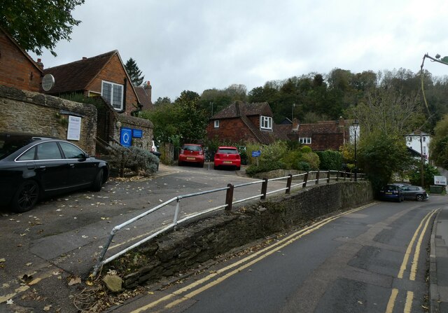
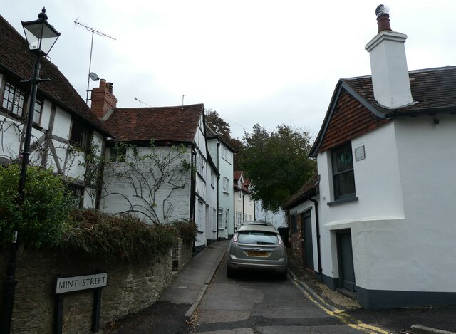
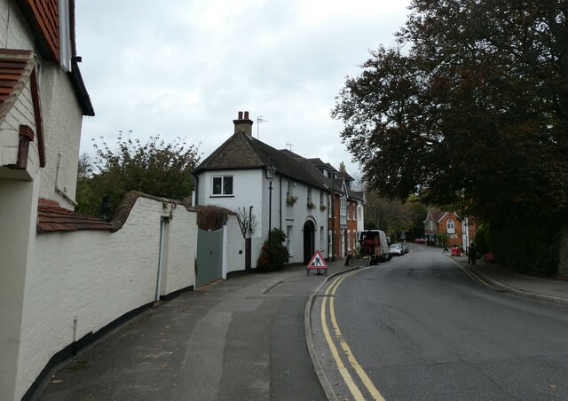
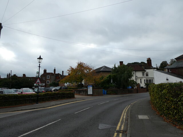
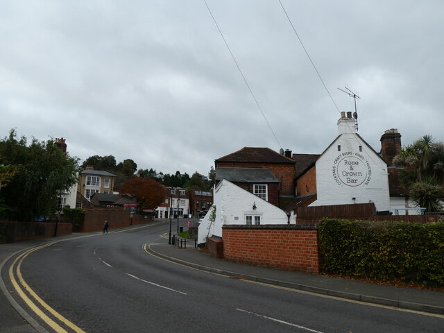
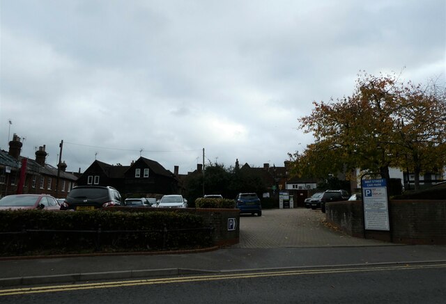
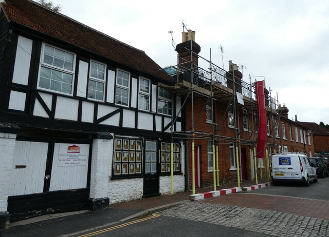
Farncombe is a small village located in the county of Surrey, England. It is situated on the southern outskirts of Godalming, a larger town in the region. Farncombe is known for its picturesque surroundings, with rolling hills, lush greenery, and charming architecture. The village has a population of around 6,000 residents and offers a peaceful and tranquil setting for those looking to escape the hustle and bustle of city life.
Farncombe is well-connected to surrounding areas, with a train station providing easy access to London and other major cities. The village has a range of amenities including shops, restaurants, and pubs, as well as a primary school and community center. The local community is tight-knit and friendly, with a strong sense of community spirit.
Farncombe is a popular destination for outdoor enthusiasts, with numerous walking and cycling trails in the surrounding countryside. The village also hosts various events and festivals throughout the year, attracting visitors from near and far. Overall, Farncombe offers a charming and idyllic setting for those looking to experience the beauty of the Surrey countryside.
If you have any feedback on the listing, please let us know in the comments section below.
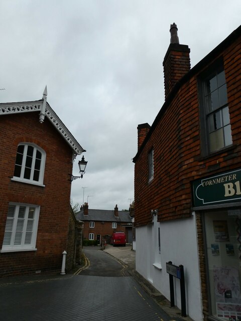
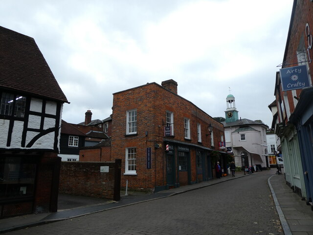
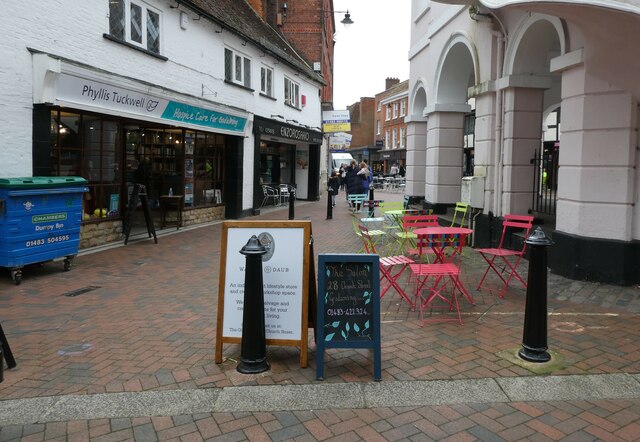
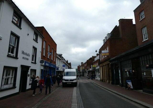
Farncombe Images
Images are sourced within 2km of 51.197858/-0.608382 or Grid Reference SU9745. Thanks to Geograph Open Source API. All images are credited.


Farncombe is located at Grid Ref: SU9745 (Lat: 51.197858, Lng: -0.608382)
Administrative County: Surrey
District: Waverley
Police Authority: Surrey
What 3 Words
///doors.proven.soaks. Near Godalming, Surrey
Nearby Locations
Related Wikis
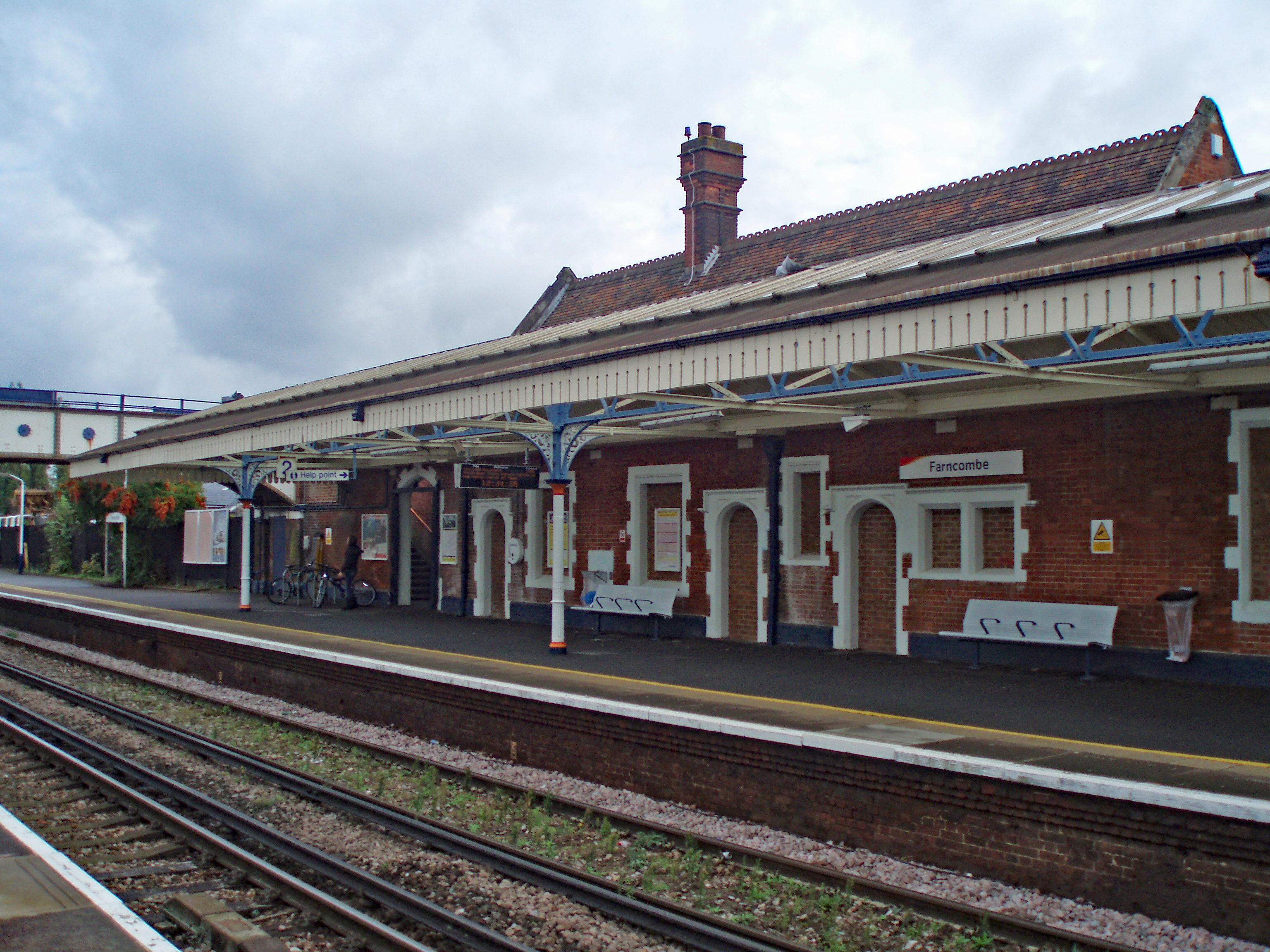
Farncombe railway station
Farncombe railway station opened in 1897 as a minor stop on the Portsmouth Direct Line between Guildford and Godalming, England. It is said to have been...

Farncombe
Farncombe, historically Fernecome, is a village and peripheral settlement of Godalming in Waverley, Surrey, England and is approximately 0.8 miles (1.3...
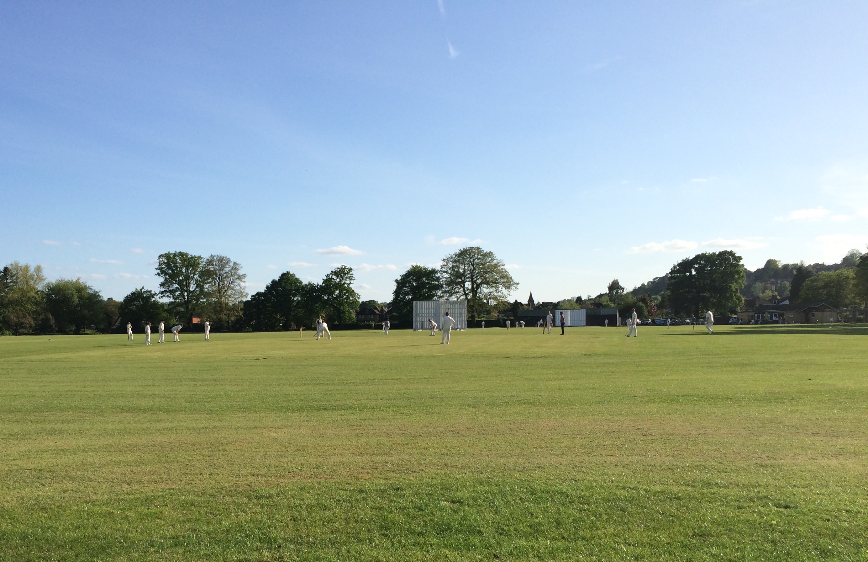
Broadwater Park
Broadwater Park is a cricket ground during the summer, and football ground through winter, located in Farncombe, Surrey. The first recorded match on the...

Farncombe Wood
Farncombe Wood is a 1-hectare (2.5-acre) nature reserve in Farncombe in Surrey. It is owned and managed by the Surrey Wildlife Trust.This steeply sloping...
Nearby Amenities
Located within 500m of 51.197858,-0.608382Have you been to Farncombe?
Leave your review of Farncombe below (or comments, questions and feedback).